Leysse
River in France From Wikipedia, the free encyclopedia
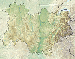
The Leysse is the river which crosses the city of Chambéry, Savoie, France. At its entrance into the city, it goes underground in a channel of about one kilometer.
| Leysse | |
|---|---|
 River Leysse in Chambéry downtown | |
| Location | |
| Country | France |
| Physical characteristics | |
| Mouth | Lac du Bourget |
• coordinates | 45.6558°N 5.8673°E |
| Length | 29 km (18 mi) |
| Basin features | |
| Progression | Canal de Savières→ Rhône→ Mediterranean Sea |
Characteristics

It comes from the mountains east of Chambéry, and continues to the north, until falling into the Lake of Le Bourget in the city of Le Bourget-du-Lac. The total length of the river is 28.5 km (17.7 mi).[1] The Lac du Bourget is drained by the Canal de Savières towards the Rhône.
See also
Wikimedia Commons has media related to Leysse.
References
Wikiwand - on
Seamless Wikipedia browsing. On steroids.


