ISPRS Technical Commission I
Sensor Systems
Mission
Sensor systems, as the most important sources for geo-information are becoming more ubiquitous, accurate, self-connected and intelligent. With the traditional sensors being improved through different methods, new-type tracks are emerging in various ways. Aerospace telescopes, thousands of beam laser altimetry, Ka/P-band InSAR sensors, micro cameras, high accuracy thermal sensors, mobile perception etc., are growing rapidly. More and more models and algorithms accelerate the development from prototype to practical. Low-cost miniaturization, integration, especially intelligence, lead the trend of sensor systems.
TC1 will keep a close watch on the sensor technology. It will provide a platform for scientists and specialists to discuss and communicate research progress. The themes should cover the concepts, methods, designs, and standards of conventional and innovative sensors systems, including optical, hyperspectral, thermal, LiDAR, SAR and their integration. TC1 will concern the prototyping, modelling, calibration, validation and applications of various advanced sensors and systems. It will also bring the opportunity to the applicants to use new technology.
ISPRS TC I Mid-term Symposium
Intelligent Sensing and Remote Sensing Application
May 13 – 17, 2024, CHANGSHA, China
President | ||
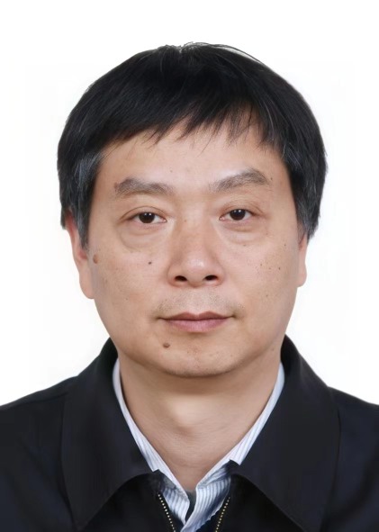
 | TANG Xinming Land Satellite Remote Sensing Application Center (LASAC) Ministry of Natural Resources of China No.1,Baishengcun,Zizhuyuan Road Haidian District, Beijing CHINA +86 10 68412138 +86 10 68412678
| |
Vice President | ||
 | Antonio Maria Garcia Tommaselli São Paulo State University Rua Roberto Simonsen, 305 19060-900 Presidente Prudente, São Paulo BRAZIL +55182295510 +551832295440
| |
Secretary | ||
 | ZHANG Tao Land Satellite Remote Sensing Application Center (LASAC) Ministry of Natural Resources of China No.1,Baishengcun,Zizhuyuan Road Haidian District, Beijing CHINA +86 10 68412452 +86 10 68412678
| |
Supporter | ||
 | Shanshan Lyu Land Satellite Remote Sensing Application Center (LASAC) Ministry of Natural Resources of China No.1 Baishengcun, Zizhuyuan Haidian District Beijing 100048 CHINA +86 10 68412580
| |
Terms of Reference
- Design and realization of aerial and spaceborne missions for earth observation
- Methods and systems for terrestrial and mobile perception in complex environments
- Data collection and processing methods for underwater terrain mapping
- Geometric and radiometric properties, quality standards of sensors
- Integrated platform guidance, navigation, direct georeferencing and sensor orientation
- On-board processing and intelligence for embedded systems
- Testing, calibration, and validation of aerial and spaceborne sensors
- Digital construction and integration to BIM
- LiDAR, laser altimetry and integration with other sensors
- Microwave and InSAR for a perspective of the earth
- Concepts and design of innovative sensors and sensor interconnection
- Small and low-cost sensors (micro cameras and wearable sensors) for ubiquitous geographic information acquisition
Commission Advisory Board
Clive Fraser, Australia ([email protected],[email protected])
Chen Jun,China([email protected])
Wolfgang Kainz, Austria([email protected])
Charles Toth,USA([email protected])
Stefan Hinz, Germany([email protected])
Naser El-Sheimy, Canada([email protected])
Jonathan Li, Canada([email protected])
