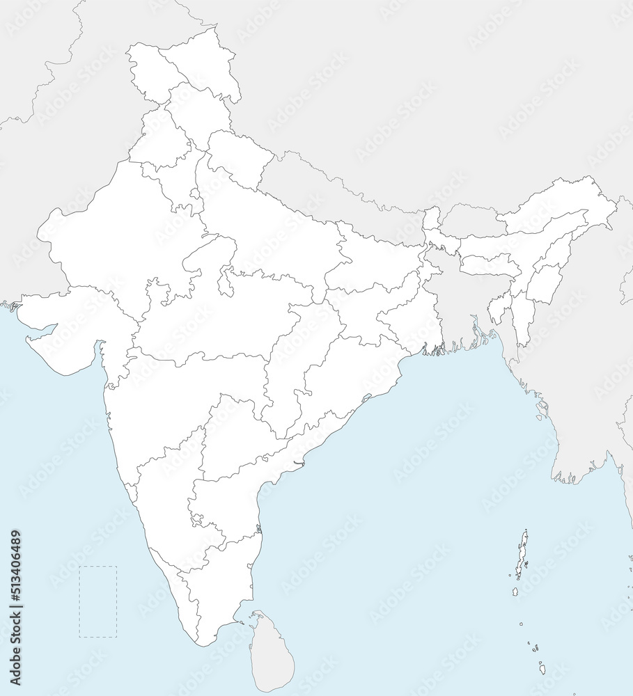
Vector blank map of India with states and territories and administrative divisions, and neighbouring countries. Editable and clearly labeled layers.

Vector blank map of India with states and territories and administrative divisions, and neighbouring countries. Editable and clearly labeled layers. 

Vector blank map of India with states and territories and administrative divisions, and neighbouring countries. Editable and clearly labeled layers.

FILE TYPE

AI/EPS and JPEG

LICENSE TYPE

Vector and JPEG files included with both licenses

|
SIMILAR KEYWORDS
india
asia
delhi
uttar pradesh
rajasthan
kashmir
gujarat
bengal
goa
kerala
maharashtra
region
state
national
country
ocean
sea
map
blank
vector
illustration
political
administrative
division
border
editable
info
infographic
white
background
graphic
detailed
geography
cartography
design
colours
colourful
isolated
physical
information