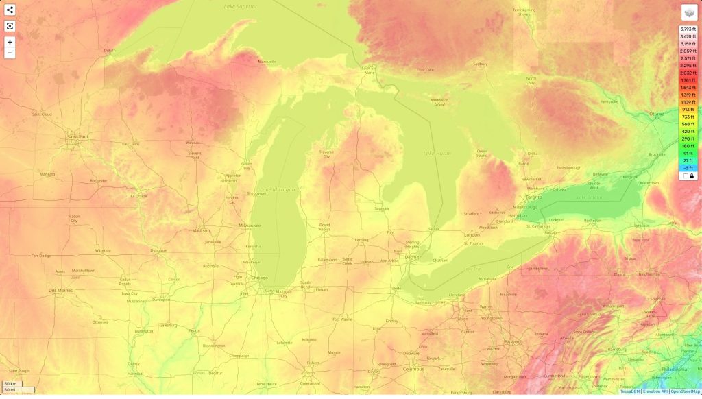
Michigan topographic map
Terrain, elevation and landscape map
The topography of Michigan is diverse and dynamic, ranging from plains to hills and slopes. Its highest elevation is Mount Arvon at 1,979 feet above sea level, while its average elevation is between 700 and 900 feet. In addition to Mount Arvon, there are many other significant peaks in the state including: Big Bay Point (1,166 ft), Porcupine Mountains (1,944 ft), Kearsarge Peak (1,671 ft) and the rugged Pictured Rocks National Lakeshore (620-686 ft). The lowest elevation in Michigan is measured near Lake Erie at an altitude of 571 feet.
Michigan is home to some of the most iconic features in North America such as the Great Lakes which make up about twenty percent of the world’s fresh water. These lakes also provide great opportunities for recreational activities like boating and fishing. Other notable features include sand dunes along Lake Michigan’s shoreline that reach heights over 200 feet high.
Our site provides a topographic map online for free with designations of heights as well as other important attributes such as waterways and major landmarks. This map offers a detailed overview of Michigan’s topography with precise data on elevations from highest to minimum points throughout the state.
Popular Reference Pages
 The Guide Maps
