···
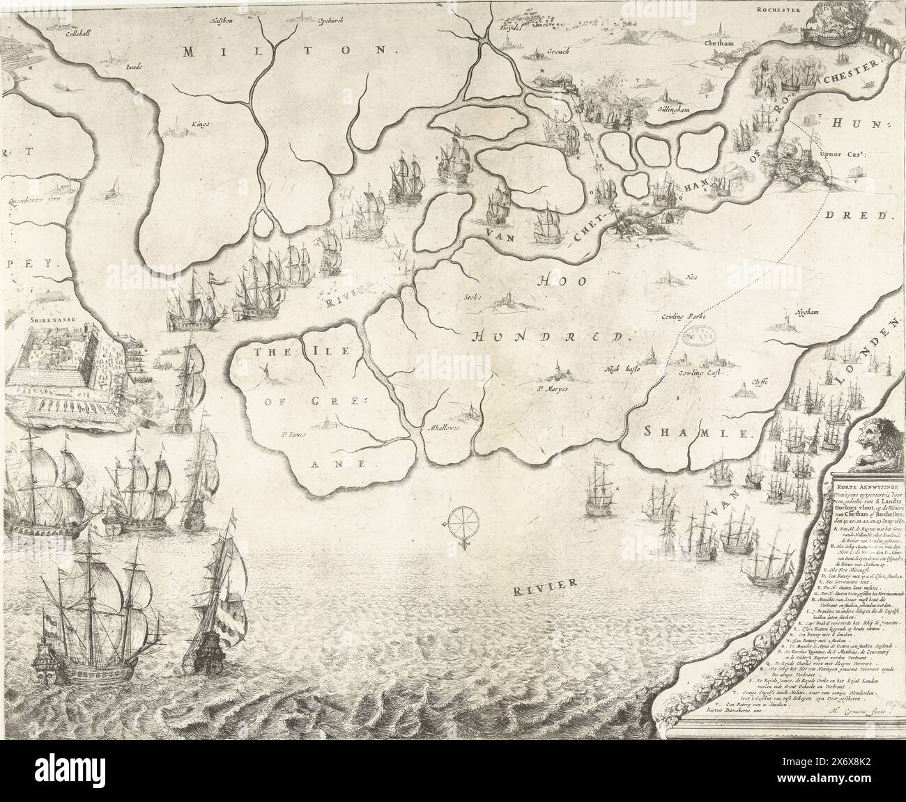
Map of the estuary of the Thames showing the Journey to Chatham, 1667, Map of the estuary of the Thames showing the Journey to Chatham by the ships of the Dutch fleet under Admiral De Ruyter, 20-23 June 1667. On the left, the battle around Sheerness, above the Dutch ships on the River Medway. Bottom right a lion on a pedestal with the legend A-V., print, print maker: Michiel Comans (II), (mentioned on object), publisher: Justus Danckerts, (mentioned on object), print maker: Northern Netherlands, publisher: Amsterdam, 1667, paper, etching, height, 416 mm × width, 509 mm Image details File size:
68.5 MB (5.2 MB Compressed download)
Open your image file to the full size using image processing software.
Dimensions:
5414 x 4425 px | 45.8 x 37.5 cm | 18 x 14.8 inches | 300dpi
More information:
This image could have imperfections as it’s either historical or reportage.
Search stock photos by tags
Similar stock images Map of the Thames Estuary with the Journey to Chatham, 1667, Image of the Rivers of London and Rochester (title on object), Map of the Rivers of London and Rochester or Chetham; Where in duydelick is shown, on what Plaetsen d'Oorloghs Fleet of Her Highness the Lords of the United States (...), Map of the mouth of the Thames showing the Journey to Chatham by the ships of the Dutch fleet under Admiral De Ruyter is indicated, 20-23 June 1667. Top left an inset with a detailed map of the River Medway. A description is printed in 2 columns under the plate., print, print maker: anonymous, publisher Stock Photo https://www.alamy.com/image-license-details/?v=1 https://www.alamy.com/map-of-the-thames-estuary-with-the-journey-to-chatham-1667-image-of-the-rivers-of-london-and-rochester-title-on-object-map-of-the-rivers-of-london-and-rochester-or-chetham-where-in-duydelick-is-shown-on-what-plaetsen-doorloghs-fleet-of-her-highness-the-lords-of-the-united-states-map-of-the-mouth-of-the-thames-showing-the-journey-to-chatham-by-the-ships-of-the-dutch-fleet-under-admiral-de-ruyter-is-indicated-20-23-june-1667-top-left-an-inset-with-a-detailed-map-of-the-river-medway-a-description-is-printed-in-2-columns-under-the-plate-print-print-maker-anonymous-publisher-image606628368.html RM 2X6X8JT – Map of the Thames Estuary with the Journey to Chatham, 1667, Image of the Rivers of London and Rochester (title on object), Map of the Rivers of London and Rochester or Chetham; Where in duydelick is shown, on what Plaetsen d'Oorloghs Fleet of Her Highness the Lords of the United States (...), Map of the mouth of the Thames showing the Journey to Chatham by the ships of the Dutch fleet under Admiral De Ruyter is indicated, 20-23 June 1667. Top left an inset with a detailed map of the River Medway. A description is printed in 2 columns under the plate., print, print maker: anonymous, publisher Map of the Thames Estuary with the Journey to Chatham, 1667, Perfect Depiction of the River of London with the Capture of 't Eylandt Schapei (...) (title on object), Depiction of the Rivers of London and Chattam of Rochester, with the Bay of Harwits, and all the places around it (...) (title on object), Pourtraict des Rivieres de Londres, Chattam ou Rochester; de la rade de Harwits, & de toutes les places des environs (...) (title on object), Map of the mouth of the Thames showing the Journey to Chatham by the Dutch fleet under Admiral De Ruyter, 20-23 June 1667. Top left an inset with a Stock Photo https://www.alamy.com/image-license-details/?v=1 https://www.alamy.com/map-of-the-thames-estuary-with-the-journey-to-chatham-1667-perfect-depiction-of-the-river-of-london-with-the-capture-of-t-eylandt-schapei-title-on-object-depiction-of-the-rivers-of-london-and-chattam-of-rochester-with-the-bay-of-harwits-and-all-the-places-around-it-title-on-object-pourtraict-des-rivieres-de-londres-chattam-ou-rochester-de-la-rade-de-harwits-de-toutes-les-places-des-environs-title-on-object-map-of-the-mouth-of-the-thames-showing-the-journey-to-chatham-by-the-dutch-fleet-under-admiral-de-ruyter-20-23-june-1667-top-left-an-inset-with-a-image606628369.html RM 2X6X8JW – Map of the Thames Estuary with the Journey to Chatham, 1667, Perfect Depiction of the River of London with the Capture of 't Eylandt Schapei (...) (title on object), Depiction of the Rivers of London and Chattam of Rochester, with the Bay of Harwits, and all the places around it (...) (title on object), Pourtraict des Rivieres de Londres, Chattam ou Rochester; de la rade de Harwits, & de toutes les places des environs (...) (title on object), Map of the mouth of the Thames showing the Journey to Chatham by the Dutch fleet under Admiral De Ruyter, 20-23 June 1667. Top left an inset with a Map of the mouth of the Thames with the Journey to Chatham, 1667, True Depiction, of what was carried out by part of the National War Fleet, on the River Chattam or Rochester, the 19th, 20th, 21st, 22 and 23 June, 1667 (title on object), Map of the Thames estuary showing the Journey to Chatham by the ships of the Dutch fleet under Admiral De Ruyter, 20-23 June 1667. On the left the battle around Sheerness, above the Dutch ships on the River Medway. Bottom right a lion on a pedestal with the legend A-V. A text sheet accompanies the plate., print, print maker: Michiel Comans (II), (mentioned on Stock Photo https://www.alamy.com/image-license-details/?v=1 https://www.alamy.com/map-of-the-mouth-of-the-thames-with-the-journey-to-chatham-1667-true-depiction-of-what-was-carried-out-by-part-of-the-national-war-fleet-on-the-river-chattam-or-rochester-the-19th-20th-21st-22-and-23-june-1667-title-on-object-map-of-the-thames-estuary-showing-the-journey-to-chatham-by-the-ships-of-the-dutch-fleet-under-admiral-de-ruyter-20-23-june-1667-on-the-left-the-battle-around-sheerness-above-the-dutch-ships-on-the-river-medway-bottom-right-a-lion-on-a-pedestal-with-the-legend-a-v-a-text-sheet-accompanies-the-plate-print-print-maker-michiel-comans-ii-mentioned-on-image606628366.html RM 2X6X8JP – Map of the mouth of the Thames with the Journey to Chatham, 1667, True Depiction, of what was carried out by part of the National War Fleet, on the River Chattam or Rochester, the 19th, 20th, 21st, 22 and 23 June, 1667 (title on object), Map of the Thames estuary showing the Journey to Chatham by the ships of the Dutch fleet under Admiral De Ruyter, 20-23 June 1667. On the left the battle around Sheerness, above the Dutch ships on the River Medway. Bottom right a lion on a pedestal with the legend A-V. A text sheet accompanies the plate., print, print maker: Michiel Comans (II), (mentioned on 