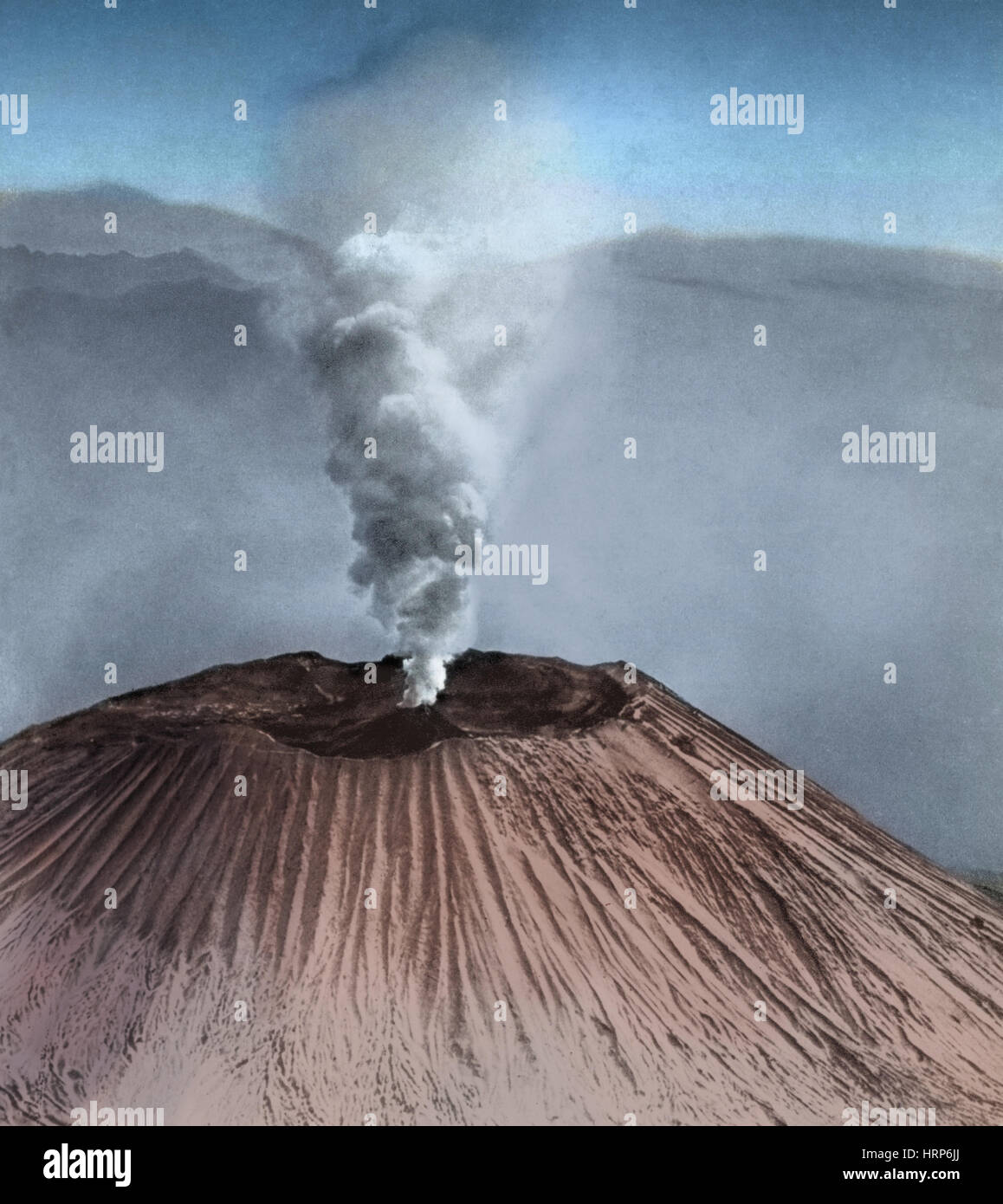
Mount Vesuvius Eruption

Image details
Contributor:
Science History Images / Alamy Stock PhotoImage ID:
HRP6JJFile size:
38.8 MB (1.3 MB Compressed download)Releases:
Model - no | Property - noDo I need a release?Dimensions:
3474 x 3900 px | 29.4 x 33 cm | 11.6 x 13 inches | 300dpiPhotographer:
Photo ResearchersMore information:
This image could have imperfections as it’s either historical or reportage.
Vesuvius is a stratovolcano in the Gulf of Naples, Italy, best known for its eruption in 79 AD that led to the burying and destruction of the Roman cities of Pompeii and Herculaneum. Since then Vesuvius has erupted around three dozen times. The volcano became quiescent at the end of the 13th century and in the following years it again became covered with gardens and vineyards as of old. Even the inside of the crater was filled with shrubbery. Vesuvius entered a new phase in December 1631, when a major eruption buried many villages under lava flows, killing around 3, 000 people. The last major eruption occurred in 1944. No photographer credited, undated.