Caribbean map Black & White Stock Photos
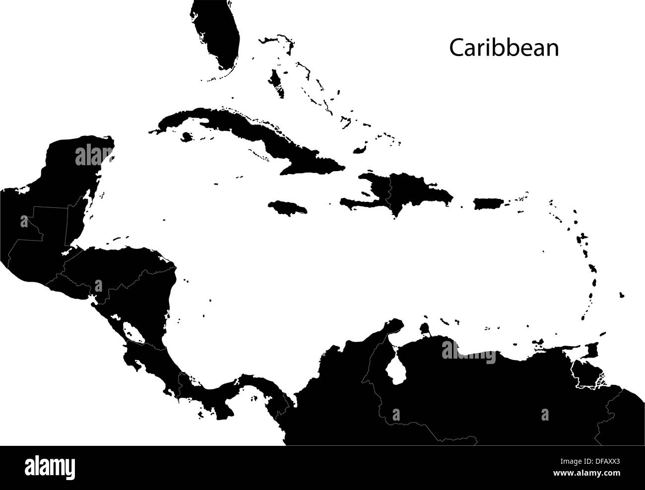 Black Caribbean map Stock Photohttps://www.alamy.com/image-license-details/?v=1https://www.alamy.com/black-caribbean-map-image61091579.html
RFDFAXX3–Black Caribbean map
 Caribbean Netherlands Map Vector Illustration - Silhouette, Outline, Caribbean Netherlands Travel and Tourism Map Stock Vectorhttps://www.alamy.com/image-license-details/?v=1https://www.alamy.com/caribbean-netherlands-map-vector-illustration-silhouette-outline-caribbean-netherlands-travel-and-tourism-map-image611777832.html
RF2XF8TT8–Caribbean Netherlands Map Vector Illustration - Silhouette, Outline, Caribbean Netherlands Travel and Tourism Map
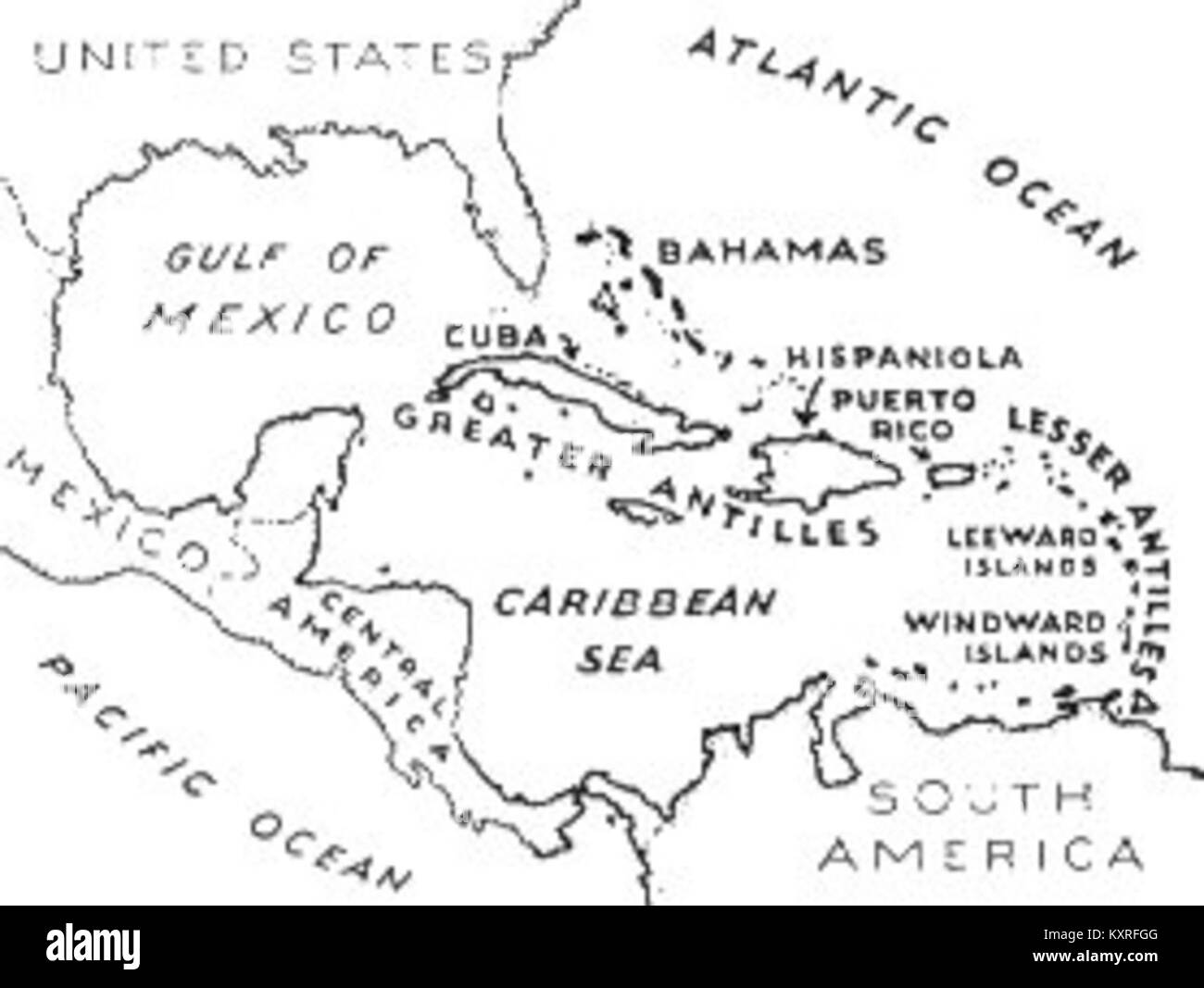 Caribbean Map File (PSF) Stock Photohttps://www.alamy.com/image-license-details/?v=1https://www.alamy.com/stock-photo-caribbean-map-file-psf-171391488.html
RMKXRFGG–Caribbean Map File (PSF)
 The Southern Continent shown on a 1562 map of the New World: in the monster-ridden Atlantic Da Gama crosses the Line as Neptune approaches the Caribbean. Stock Photohttps://www.alamy.com/image-license-details/?v=1https://www.alamy.com/the-southern-continent-shown-on-a-1562-map-of-the-new-world-in-the-monster-ridden-atlantic-da-gama-crosses-the-line-as-neptune-approaches-the-caribbean-image268824889.html
RMWHA0TW–The Southern Continent shown on a 1562 map of the New World: in the monster-ridden Atlantic Da Gama crosses the Line as Neptune approaches the Caribbean.
 Black Barbados map, Caribbean island country. Detailed map with coastline, sea and forests, cities and roads. Stock Vectorhttps://www.alamy.com/image-license-details/?v=1https://www.alamy.com/black-barbados-map-caribbean-island-country-detailed-map-with-coastline-sea-and-forests-cities-and-roads-image490709760.html
RF2KE9N8G–Black Barbados map, Caribbean island country. Detailed map with coastline, sea and forests, cities and roads.
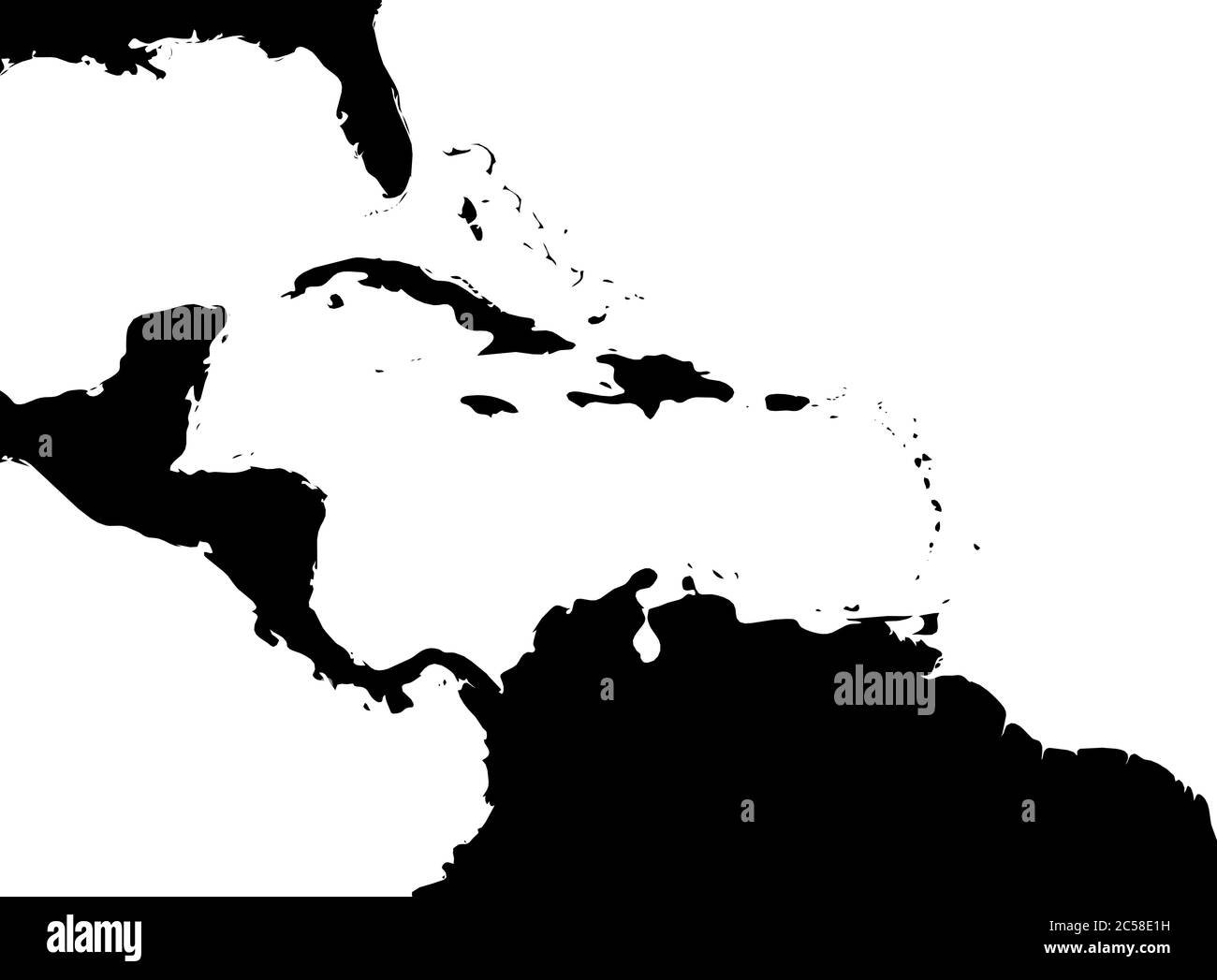 Map of Caribbean region and Central America. Black land silhouette and white water. Simple flat vector illustration. Stock Vectorhttps://www.alamy.com/image-license-details/?v=1https://www.alamy.com/map-of-caribbean-region-and-central-america-black-land-silhouette-and-white-water-simple-flat-vector-illustration-image364677645.html
RF2C58E1H–Map of Caribbean region and Central America. Black land silhouette and white water. Simple flat vector illustration.
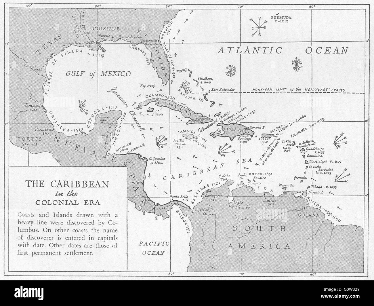 WEST INDIES: 1600-1660: Caribbean, Colonial Era, sketch map, 1942 Stock Photohttps://www.alamy.com/image-license-details/?v=1https://www.alamy.com/stock-photo-west-indies-1600-1660-caribbean-colonial-era-sketch-map-1942-103813425.html
RFG0W329–WEST INDIES: 1600-1660: Caribbean, Colonial Era, sketch map, 1942
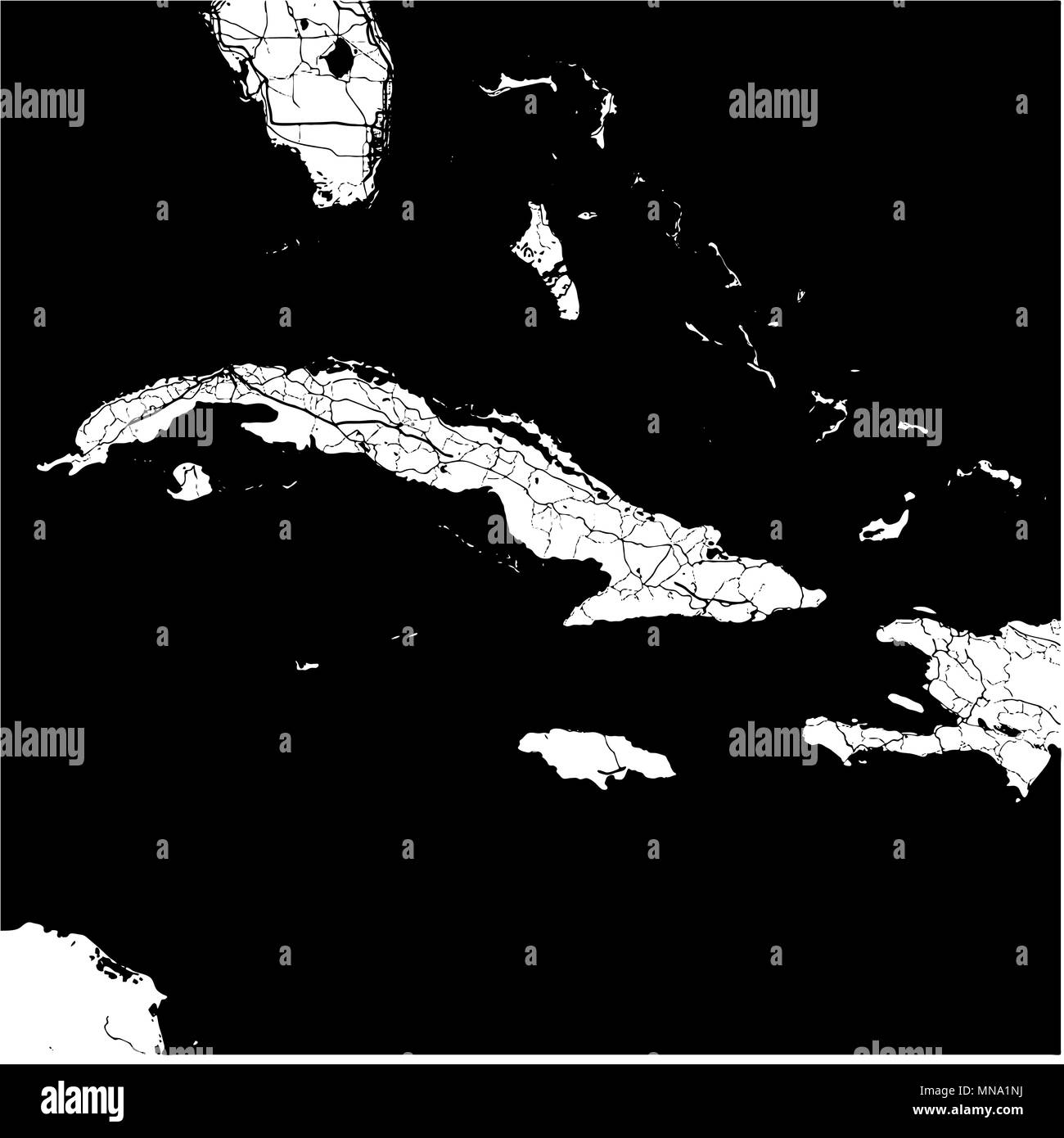 Cuba, Caribbean, Monochrome Map Artprint, Vector Outline Version, ready for color change, Separated On White Stock Vectorhttps://www.alamy.com/image-license-details/?v=1https://www.alamy.com/cuba-caribbean-monochrome-map-artprint-vector-outline-version-ready-for-color-change-separated-on-white-image185232366.html
RFMNA1NJ–Cuba, Caribbean, Monochrome Map Artprint, Vector Outline Version, ready for color change, Separated On White
 Map of Central America and the Caribbean with shadows Stock Photohttps://www.alamy.com/image-license-details/?v=1https://www.alamy.com/map-of-central-america-and-the-caribbean-with-shadows-image634543109.html
RF2YT9X5W–Map of Central America and the Caribbean with shadows
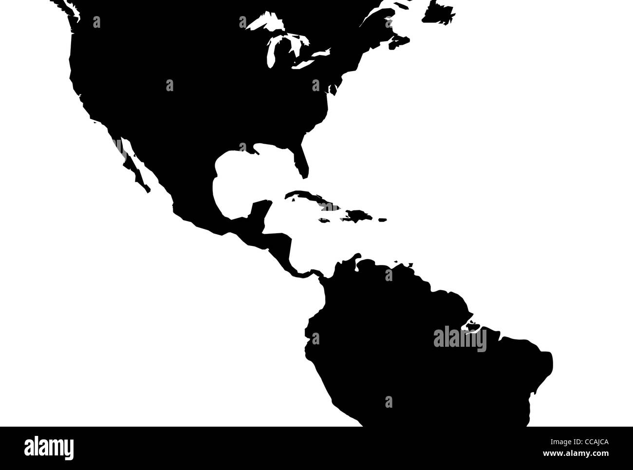 Caribbean central America map, illustration Stock Photohttps://www.alamy.com/image-license-details/?v=1https://www.alamy.com/stock-photo-caribbean-central-america-map-illustration-42030586.html
RFCCAJCA–Caribbean central America map, illustration
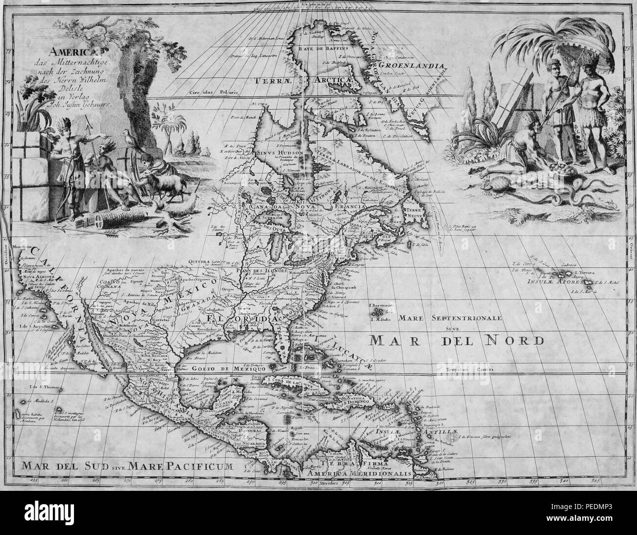 Black and white map of The Arctic, Greenland, North America, Central America, and the Caribbean islands, with place names, and illustrations at the upper left and right depicting two groups of indigenous peoples, 1825. Courtesy Internet Archive. () Stock Photohttps://www.alamy.com/image-license-details/?v=1https://www.alamy.com/black-and-white-map-of-the-arctic-greenland-north-america-central-america-and-the-caribbean-islands-with-place-names-and-illustrations-at-the-upper-left-and-right-depicting-two-groups-of-indigenous-peoples-1825-courtesy-internet-archive-image215431275.html
RMPEDMP3–Black and white map of The Arctic, Greenland, North America, Central America, and the Caribbean islands, with place names, and illustrations at the upper left and right depicting two groups of indigenous peoples, 1825. Courtesy Internet Archive. ()
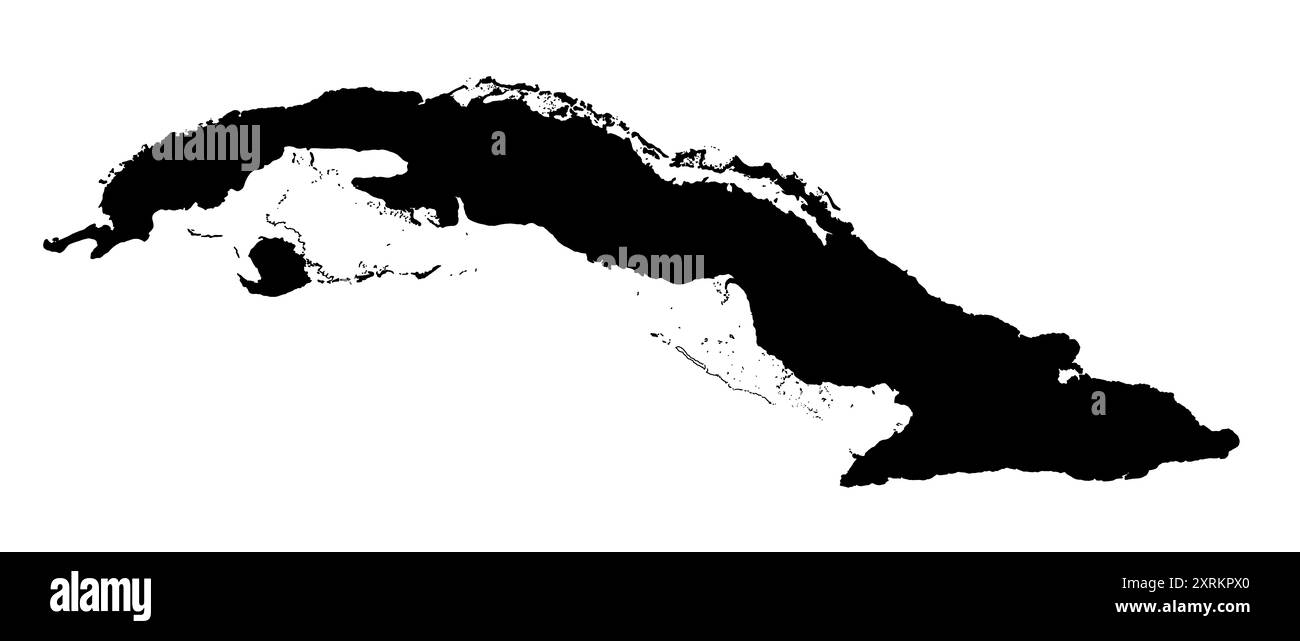 Vector illustration, map of Cuba country in Caribbean with islands Stock Photohttps://www.alamy.com/image-license-details/?v=1https://www.alamy.com/vector-illustration-map-of-cuba-country-in-caribbean-with-islands-image616935032.html
RF2XRKPX0–Vector illustration, map of Cuba country in Caribbean with islands
RF2WKMXD8–Panama vector central costa rica caribbean latin map panama icon
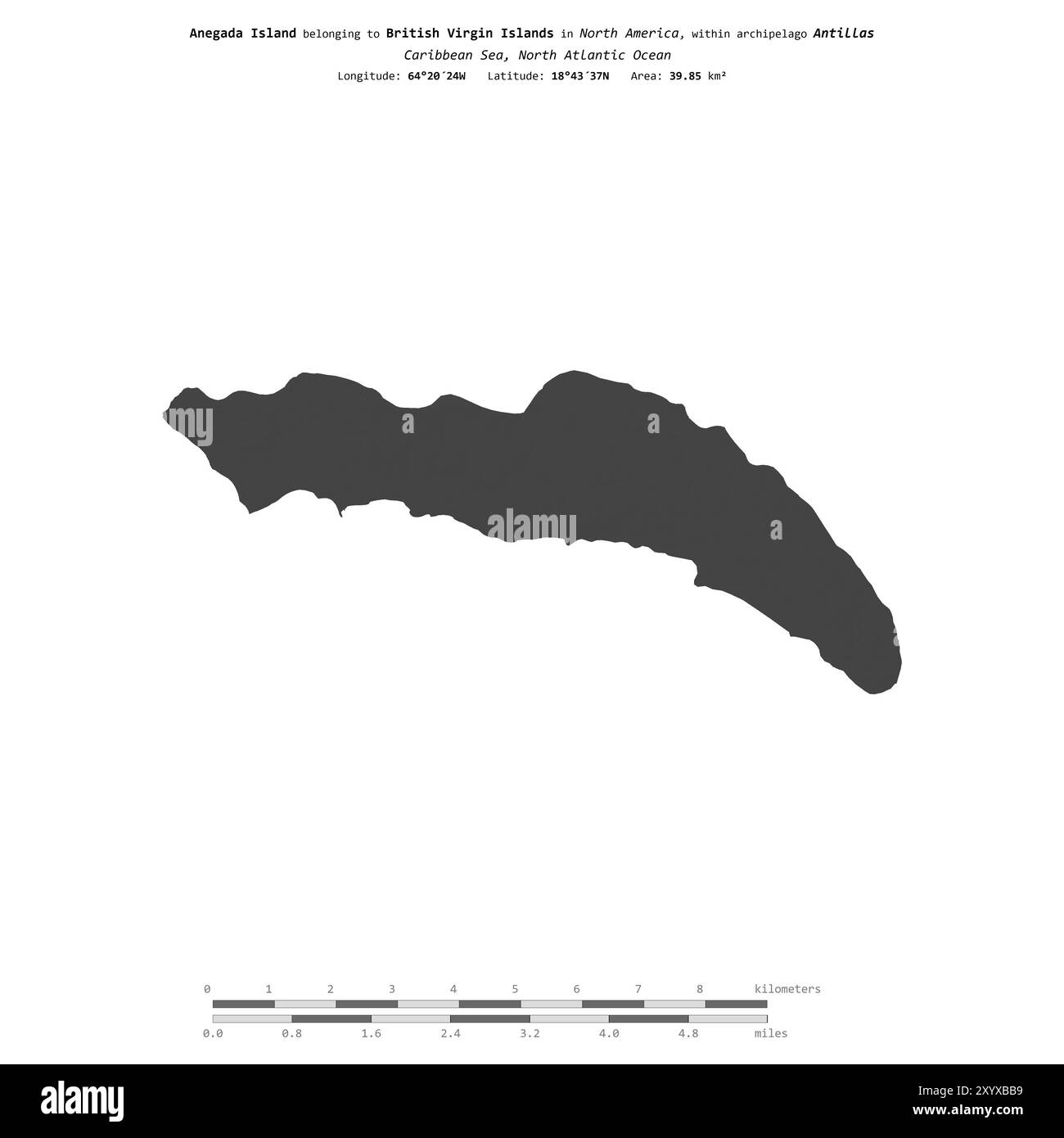 Anegada Island in the Caribbean Sea, belonging to British Virgin Islands, isolated on a bilevel elevation map, with distance scale Stock Photohttps://www.alamy.com/image-license-details/?v=1https://www.alamy.com/anegada-island-in-the-caribbean-sea-belonging-to-british-virgin-islands-isolated-on-a-bilevel-elevation-map-with-distance-scale-image619538285.html
RF2XYXBB9–Anegada Island in the Caribbean Sea, belonging to British Virgin Islands, isolated on a bilevel elevation map, with distance scale
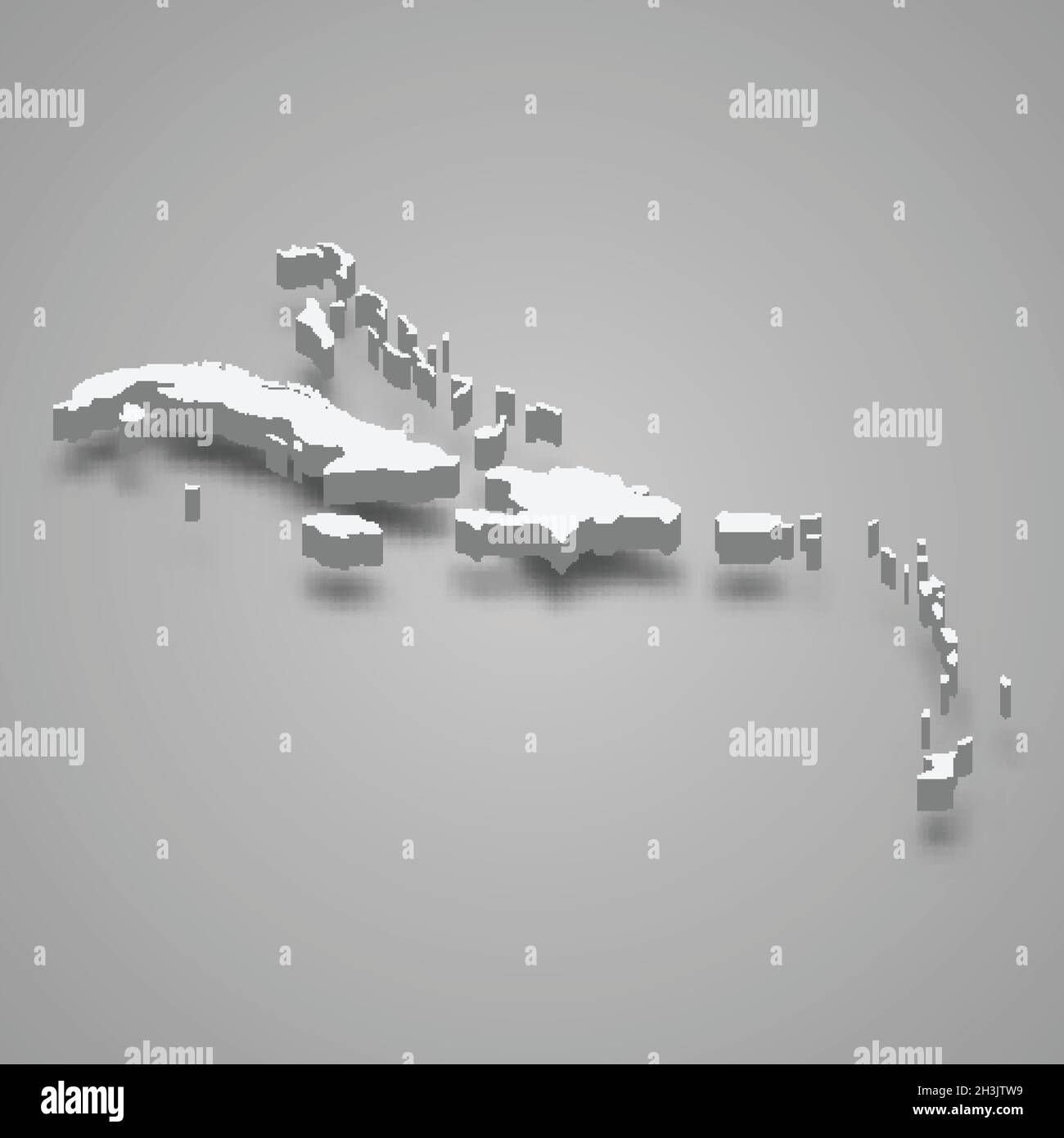 3d isometric map of Caribbean region, isolated with shadow vector illustration Stock Vectorhttps://www.alamy.com/image-license-details/?v=1https://www.alamy.com/3d-isometric-map-of-caribbean-region-isolated-with-shadow-vector-illustration-image449728197.html
RF2H3JTW9–3d isometric map of Caribbean region, isolated with shadow vector illustration
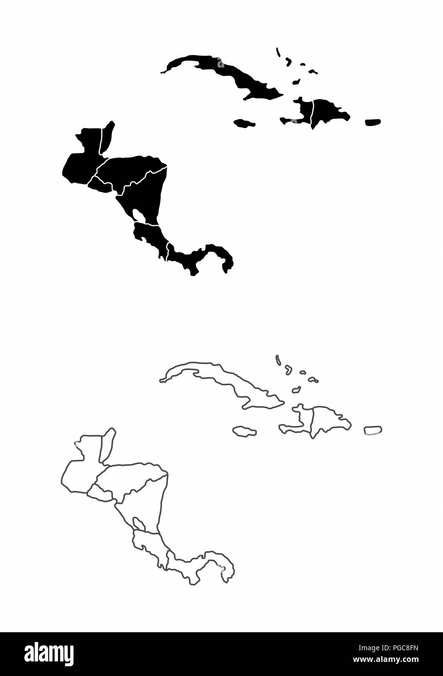 Central America and the Caribbean maps Stock Vectorhttps://www.alamy.com/image-license-details/?v=1https://www.alamy.com/central-america-and-the-caribbean-maps-image216629049.html
RFPGC8FN–Central America and the Caribbean maps
 A map of St Lucia, the West Indies, 1758.Artist: N Bellun Stock Photohttps://www.alamy.com/image-license-details/?v=1https://www.alamy.com/a-map-of-st-lucia-the-west-indies-1758artist-n-bellun-image262754052.html
RMW7DDD8–A map of St Lucia, the West Indies, 1758.Artist: N Bellun
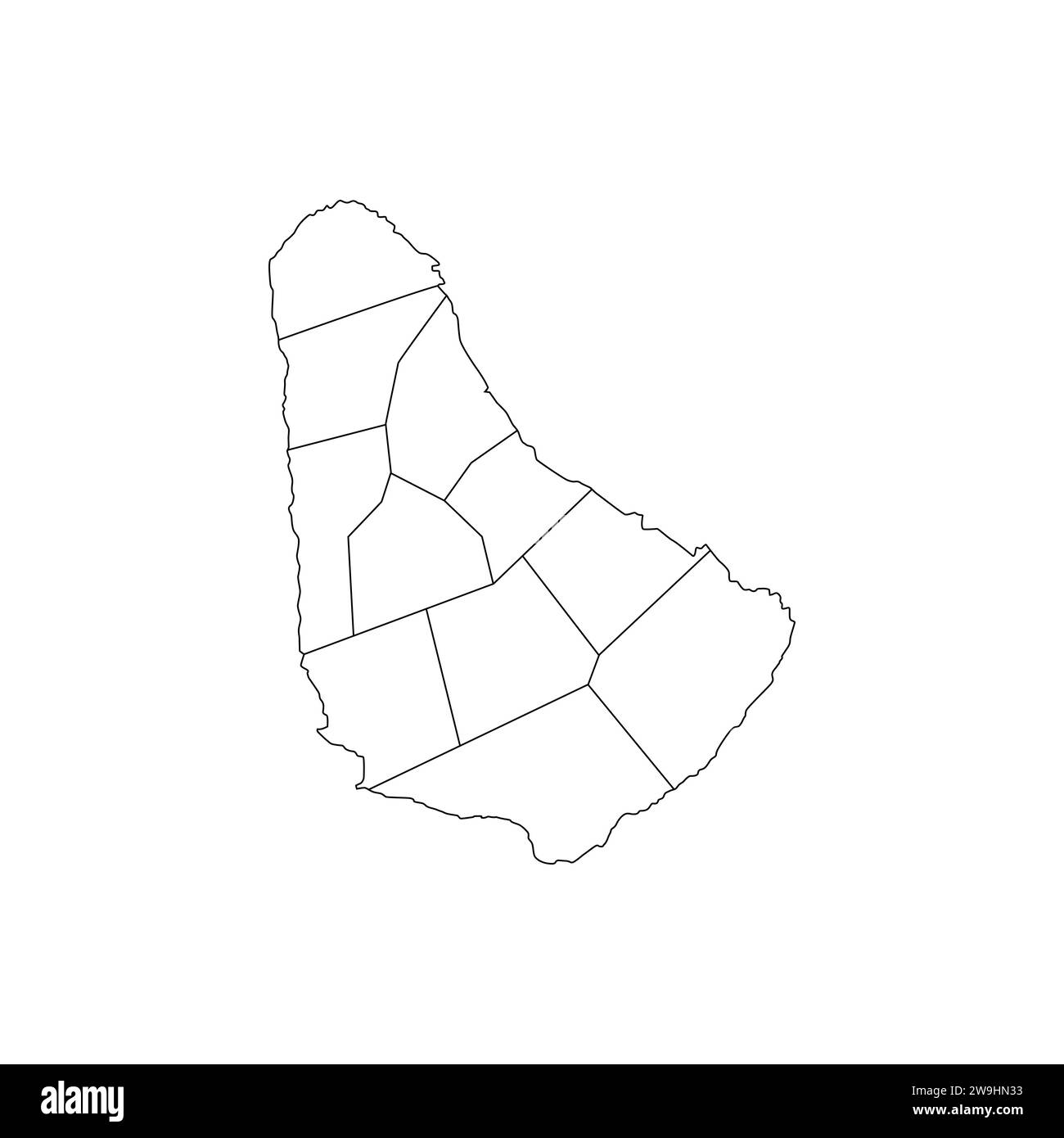 Map Of Barbados High-Res Vector silhouette and outline Graphic Stock Vectorhttps://www.alamy.com/image-license-details/?v=1https://www.alamy.com/map-of-barbados-high-res-vector-silhouette-and-outline-graphic-image591074151.html
RF2W9HN33–Map Of Barbados High-Res Vector silhouette and outline Graphic
RF2S078A7–Pixelated world map icons in 8-bit style, featuring over 190 countries. Perfect for digital art, educational projects, and themed designs.
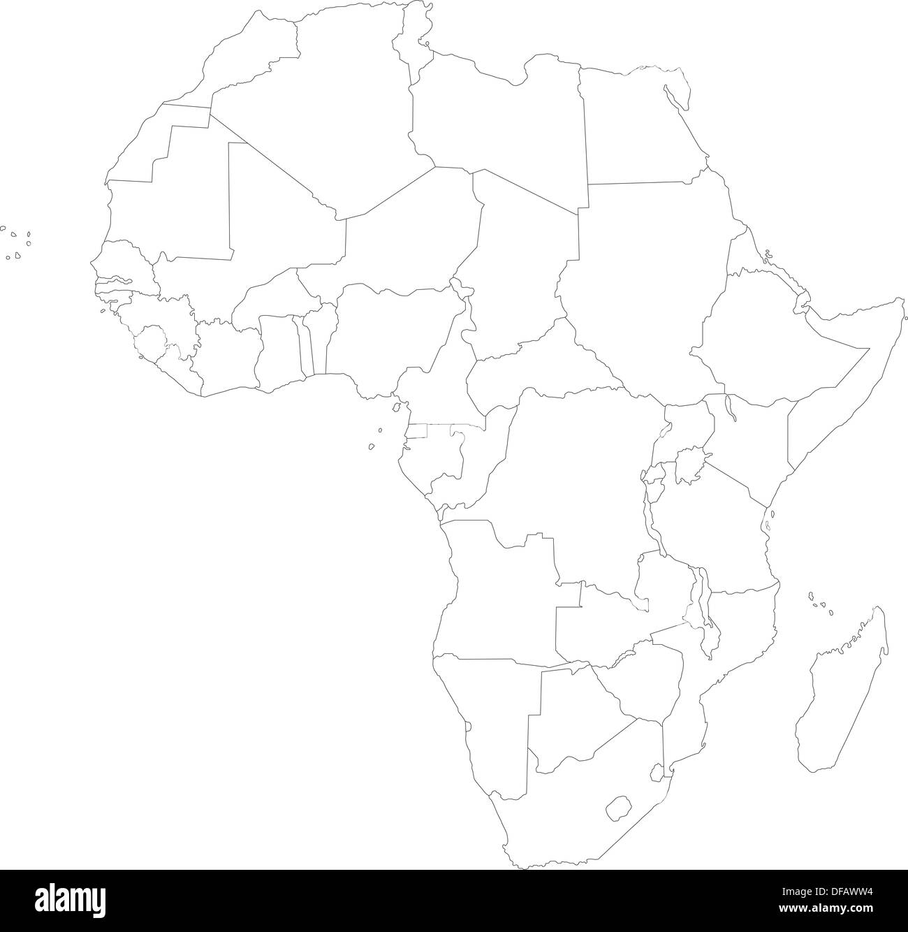 Outline Africa map Stock Photohttps://www.alamy.com/image-license-details/?v=1https://www.alamy.com/outline-africa-map-image61090768.html
RFDFAWW4–Outline Africa map
 Montserrat Map Vector Illustration - Silhouette, Outline, Montserrat Travel and Tourism Map Stock Vectorhttps://www.alamy.com/image-license-details/?v=1https://www.alamy.com/montserrat-map-vector-illustration-silhouette-outline-montserrat-travel-and-tourism-map-image611778700.html
RF2XF8WY8–Montserrat Map Vector Illustration - Silhouette, Outline, Montserrat Travel and Tourism Map
 Barbados Islans In Black Silhouette Stock Photohttps://www.alamy.com/image-license-details/?v=1https://www.alamy.com/barbados-islans-in-black-silhouette-image483702704.html
RF2K2XFMG–Barbados Islans In Black Silhouette
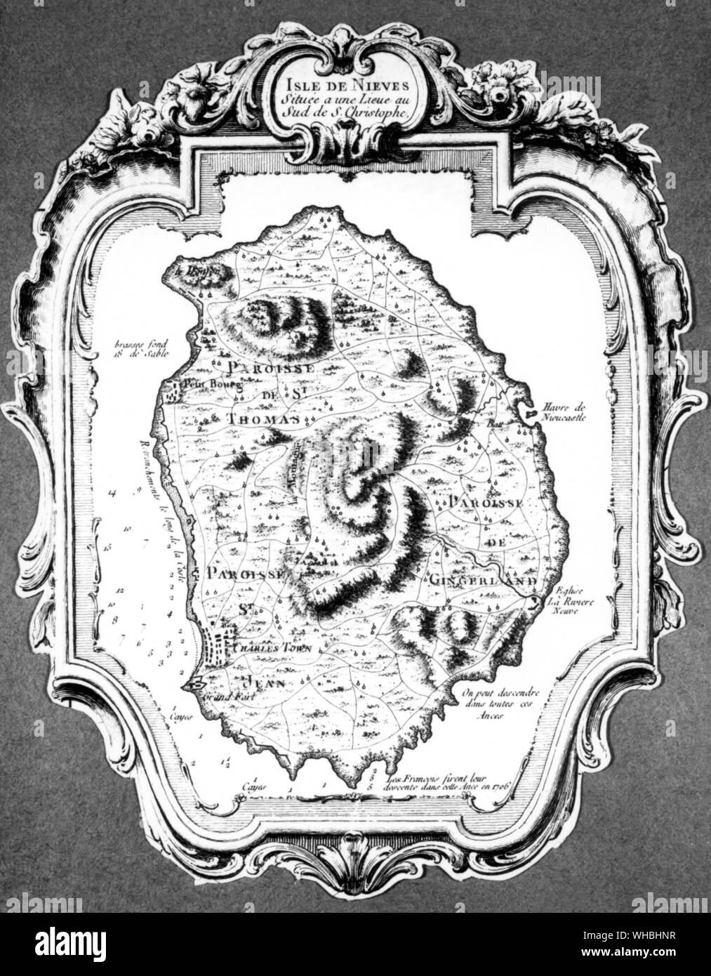 Map of Island of Nevis Stock Photohttps://www.alamy.com/image-license-details/?v=1https://www.alamy.com/map-of-island-of-nevis-image268860083.html
RMWHBHNR–Map of Island of Nevis
 Black Grenada map, Caribbean islands country. Detailed map with administrative border, coastline, sea and forests, cities and roads. Stock Vectorhttps://www.alamy.com/image-license-details/?v=1https://www.alamy.com/black-grenada-map-caribbean-islands-country-detailed-map-with-administrative-border-coastline-sea-and-forests-cities-and-roads-image549232699.html
RF2PWFKWF–Black Grenada map, Caribbean islands country. Detailed map with administrative border, coastline, sea and forests, cities and roads.
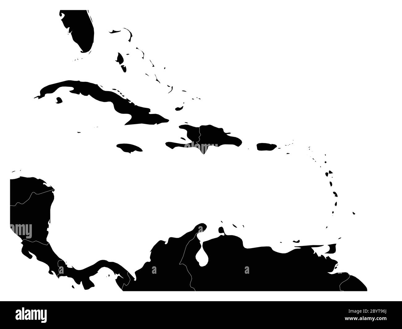 Map of Caribbean region and Central America. Black land silhouette and white water. Simple flat vector illustration. Stock Vectorhttps://www.alamy.com/image-license-details/?v=1https://www.alamy.com/map-of-caribbean-region-and-central-america-black-land-silhouette-and-white-water-simple-flat-vector-illustration-image361337162.html
RF2BYT96J–Map of Caribbean region and Central America. Black land silhouette and white water. Simple flat vector illustration.
 CARIBBEAN. USCGS survey. Deep sea soundings Gulf Mexico and Caribbean 1881 map Stock Photohttps://www.alamy.com/image-license-details/?v=1https://www.alamy.com/caribbean-uscgs-survey-deep-sea-soundings-gulf-mexico-and-caribbean-1881-map-image185132411.html
RFMN5E7R–CARIBBEAN. USCGS survey. Deep sea soundings Gulf Mexico and Caribbean 1881 map
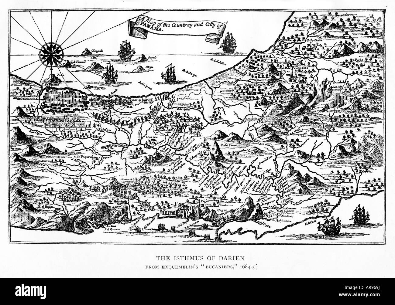 Isthmus of Darien 1668 map of Panama from East to West the route of Henry Morgan and his pirates from Porto Bello Stock Photohttps://www.alamy.com/image-license-details/?v=1https://www.alamy.com/stock-photo-isthmus-of-darien-1668-map-of-panama-from-east-to-west-the-route-of-15980045.html
RMAR969J–Isthmus of Darien 1668 map of Panama from East to West the route of Henry Morgan and his pirates from Porto Bello
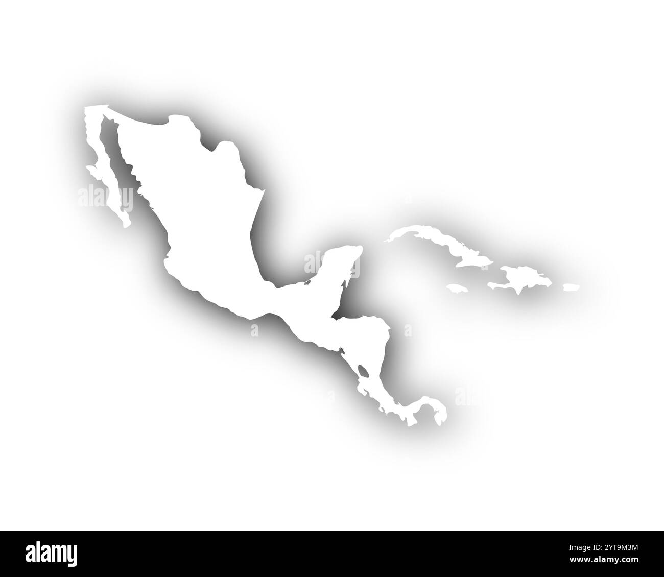 Map of Central America and the Caribbean with shadows Stock Photohttps://www.alamy.com/image-license-details/?v=1https://www.alamy.com/map-of-central-america-and-the-caribbean-with-shadows-image634538344.html
RF2YT9M3M–Map of Central America and the Caribbean with shadows
 Map, Welser, 16th century, patrician family, German, triangular trade, wealth, voyages, overseas province, colony, Caribbean, terra incognita, Lake Stock Photohttps://www.alamy.com/image-license-details/?v=1https://www.alamy.com/map-welser-16th-century-patrician-family-german-triangular-trade-wealth-voyages-overseas-province-colony-caribbean-terra-incognita-lake-image507053757.html
RM2MCX86N–Map, Welser, 16th century, patrician family, German, triangular trade, wealth, voyages, overseas province, colony, Caribbean, terra incognita, Lake
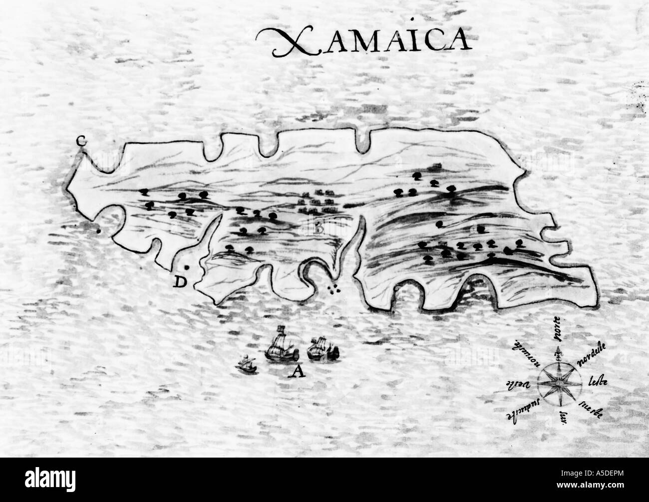 Historic Jamaica map Stock Photohttps://www.alamy.com/image-license-details/?v=1https://www.alamy.com/stock-photo-historic-jamaica-map-11278891.html
RMA5DEPM–Historic Jamaica map
 Vector illustration of map of Caribbean Sea with part of USA, Mexico and islands of Cuba, Puerto Rico and Antilles Stock Photohttps://www.alamy.com/image-license-details/?v=1https://www.alamy.com/vector-illustration-of-map-of-caribbean-sea-with-part-of-usa-mexico-and-islands-of-cuba-puerto-rico-and-antilles-image611950048.html
RF2XFGMET–Vector illustration of map of Caribbean Sea with part of USA, Mexico and islands of Cuba, Puerto Rico and Antilles
 Bahams vector map. Nassau caribbean island country. Bahama map illustration Stock Vectorhttps://www.alamy.com/image-license-details/?v=1https://www.alamy.com/bahams-vector-map-nassau-caribbean-island-country-bahama-map-illustration-image401395470.html
RF2E9140E–Bahams vector map. Nassau caribbean island country. Bahama map illustration
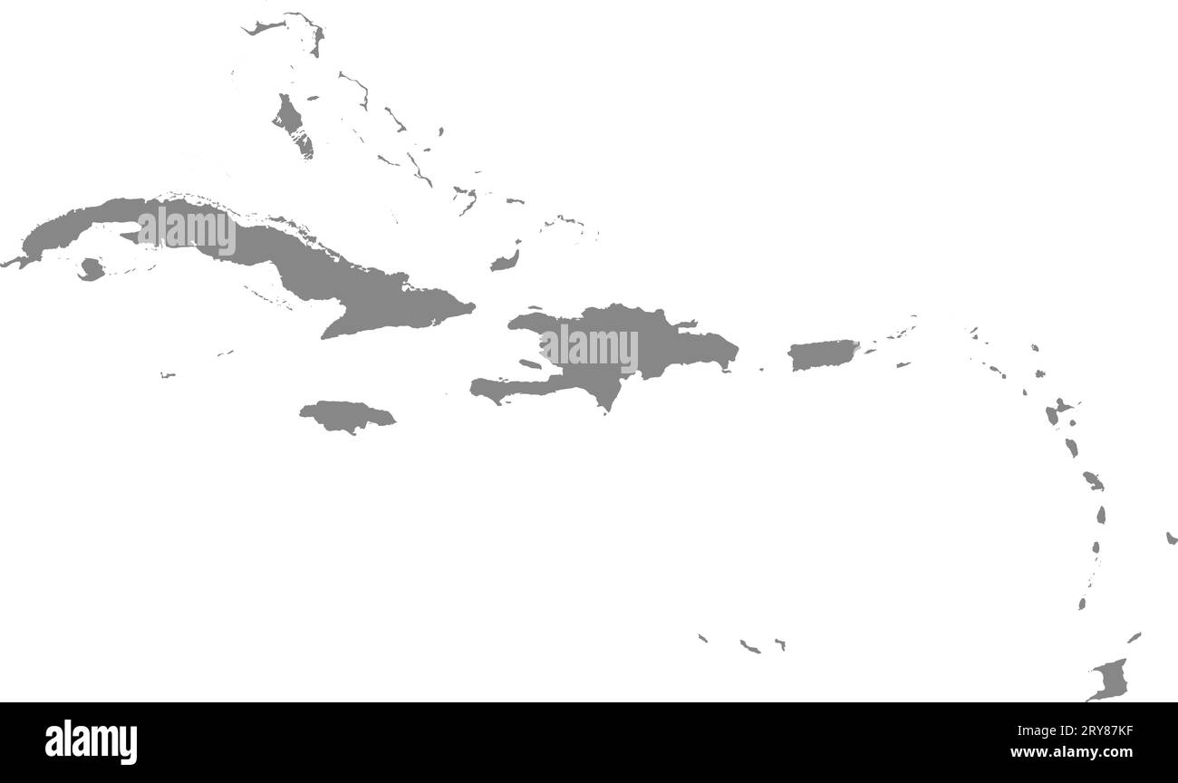 GRAY CMYK color map of CARIBBEAN ISLANDS Stock Vectorhttps://www.alamy.com/image-license-details/?v=1https://www.alamy.com/gray-cmyk-color-map-of-caribbean-islands-image567509139.html
RF2RY87KF–GRAY CMYK color map of CARIBBEAN ISLANDS
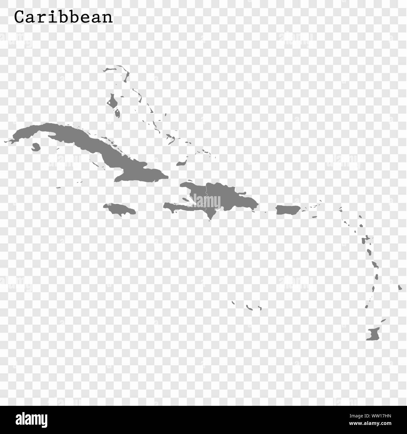 High quality map of Caribbean with borders of the countries Stock Vectorhttps://www.alamy.com/image-license-details/?v=1https://www.alamy.com/high-quality-map-of-caribbean-with-borders-of-the-countries-image273549857.html
RFWW17HN–High quality map of Caribbean with borders of the countries
 French Guiana outline map Stock Vectorhttps://www.alamy.com/image-license-details/?v=1https://www.alamy.com/french-guiana-outline-map-image365623393.html
RF2C6RGA9–French Guiana outline map
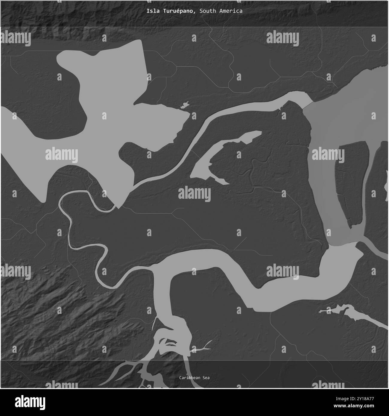 Isla Turuepano in the Caribbean Sea, belonging to Venezuela, cropped to square on a bilevel elevation map Stock Photohttps://www.alamy.com/image-license-details/?v=1https://www.alamy.com/isla-turuepano-in-the-caribbean-sea-belonging-to-venezuela-cropped-to-square-on-a-bilevel-elevation-map-image620371563.html
RF2Y18A77–Isla Turuepano in the Caribbean Sea, belonging to Venezuela, cropped to square on a bilevel elevation map
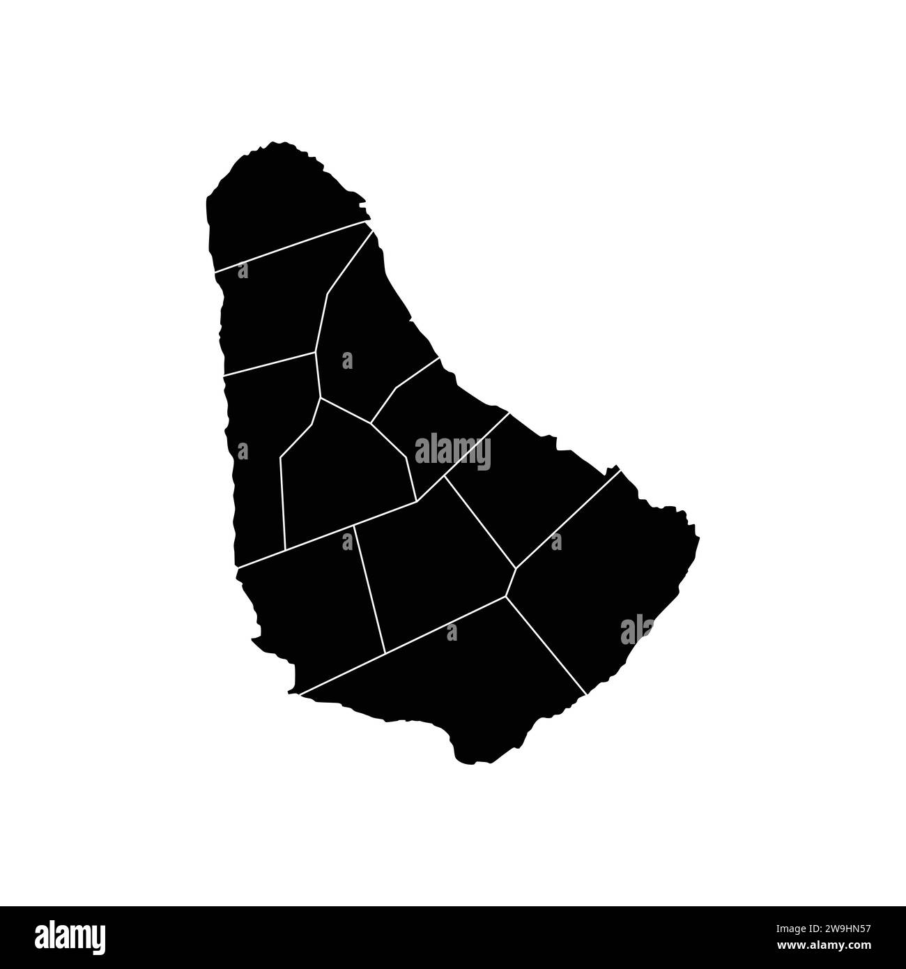 Map Of Barbados High-Res Vector silhouette and outline Graphic Stock Vectorhttps://www.alamy.com/image-license-details/?v=1https://www.alamy.com/map-of-barbados-high-res-vector-silhouette-and-outline-graphic-image591074211.html
RF2W9HN57–Map Of Barbados High-Res Vector silhouette and outline Graphic
RF2S079CK–Pixelated world map icons in 8-bit style, featuring over 190 countries. Perfect for digital art, educational projects, and themed designs.
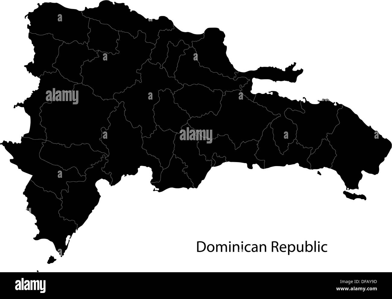 Black Dominican Republic map Stock Photohttps://www.alamy.com/image-license-details/?v=1https://www.alamy.com/black-dominican-republic-map-image61091897.html
RFDFAY9D–Black Dominican Republic map
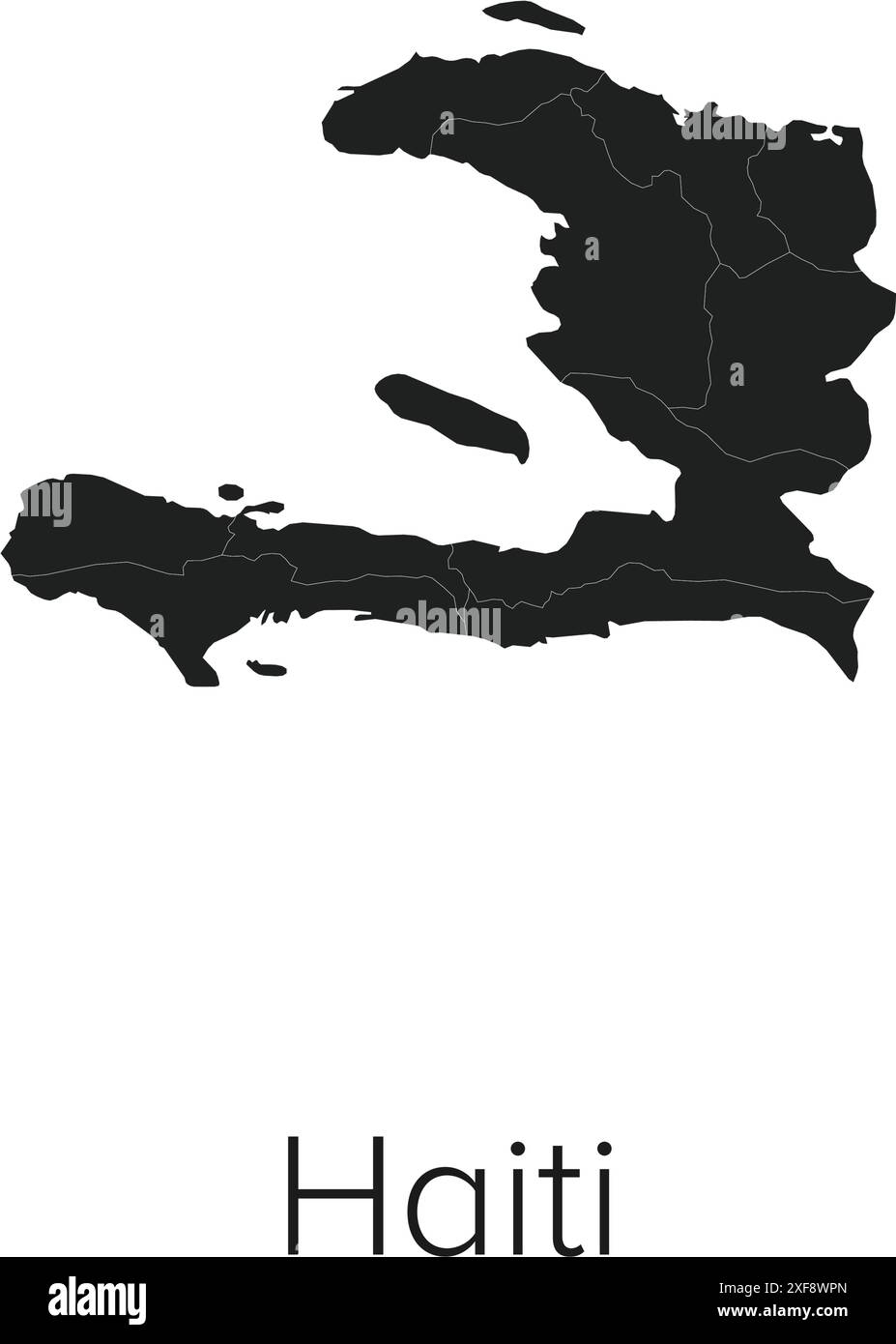 Haiti Map Vector Illustration - Silhouette, Outline, Haiti Travel and Tourism Map Stock Vectorhttps://www.alamy.com/image-license-details/?v=1https://www.alamy.com/haiti-map-vector-illustration-silhouette-outline-haiti-travel-and-tourism-map-image611778573.html
RF2XF8WPN–Haiti Map Vector Illustration - Silhouette, Outline, Haiti Travel and Tourism Map
 map of dominica Stock Photohttps://www.alamy.com/image-license-details/?v=1https://www.alamy.com/stock-photo-map-of-dominica-143678820.html
RFJ9N3PC–map of dominica
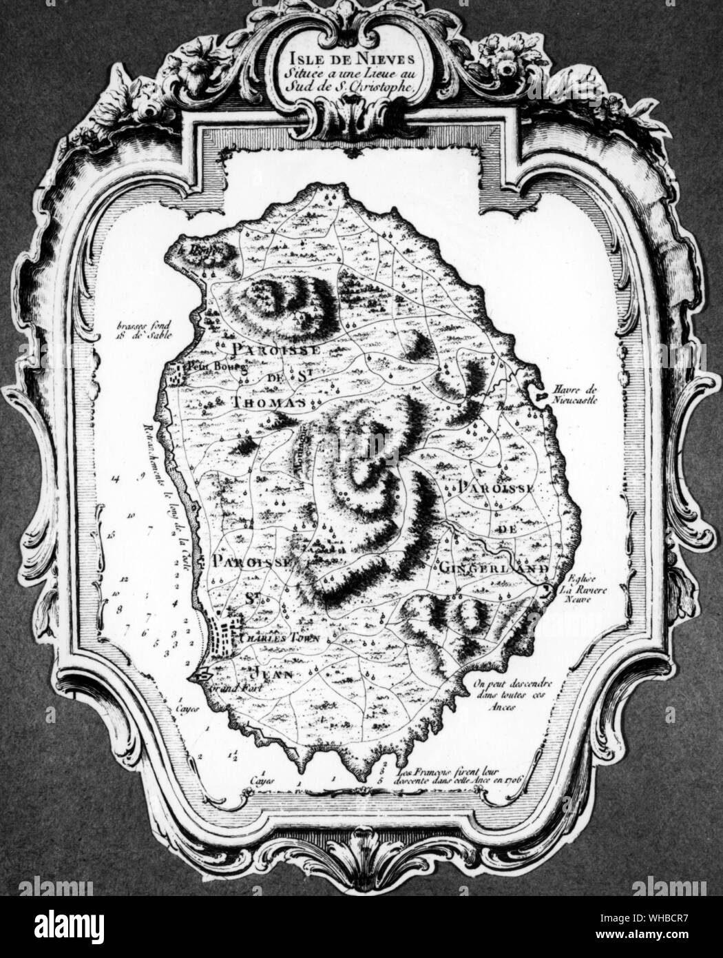 Map of Island of Nevis Stock Photohttps://www.alamy.com/image-license-details/?v=1https://www.alamy.com/map-of-island-of-nevis-image268856203.html
RMWHBCR7–Map of Island of Nevis
 Black Saint Vincent and the Grenadines map, Caribbean island country. Detailed map with administrative border, coastline, sea and forests, cities and Stock Vectorhttps://www.alamy.com/image-license-details/?v=1https://www.alamy.com/black-saint-vincent-and-the-grenadines-map-caribbean-island-country-detailed-map-with-administrative-border-coastline-sea-and-forests-cities-and-image546682117.html
RF2PNBEH9–Black Saint Vincent and the Grenadines map, Caribbean island country. Detailed map with administrative border, coastline, sea and forests, cities and
 Central America and Caribbean states political map in four shades of grey with black country names labels. Simple flat vector illustration. Stock Vectorhttps://www.alamy.com/image-license-details/?v=1https://www.alamy.com/central-america-and-caribbean-states-political-map-in-four-shades-of-grey-with-black-country-names-labels-simple-flat-vector-illustration-image361338910.html
RF2BYTBD2–Central America and Caribbean states political map in four shades of grey with black country names labels. Simple flat vector illustration.
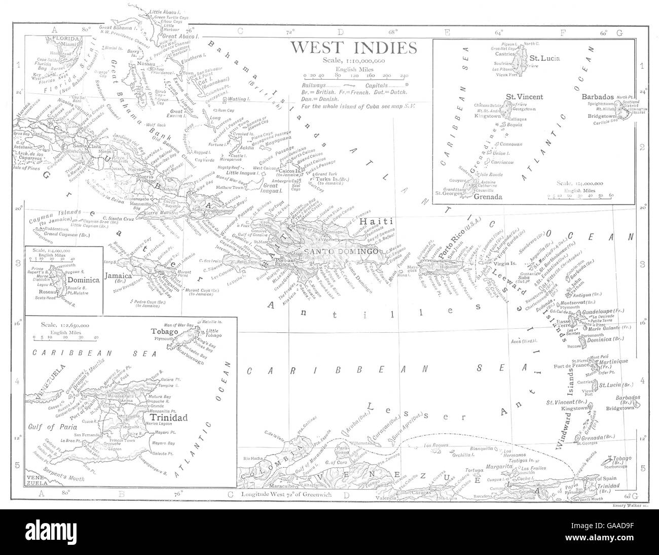 WEST INDIES:Caribbean Inset Barbados Dominica Trinidad St Lucia Grenada 1910 map Stock Photohttps://www.alamy.com/image-license-details/?v=1https://www.alamy.com/stock-photo-west-indiescaribbean-inset-barbados-dominica-trinidad-st-lucia-grenada-109638747.html
RFGAAD9F–WEST INDIES:Caribbean Inset Barbados Dominica Trinidad St Lucia Grenada 1910 map
 Set of pirate labels. Corsairs, skull at anchor, map to treasure, military black beard, Caribbean island. Jolly roger. Hand drawn Engraved old labels Stock Vectorhttps://www.alamy.com/image-license-details/?v=1https://www.alamy.com/set-of-pirate-labels-corsairs-skull-at-anchor-map-to-treasure-military-black-beard-caribbean-island-jolly-roger-hand-drawn-engraved-old-labels-image346852547.html
RF2B48DXY–Set of pirate labels. Corsairs, skull at anchor, map to treasure, military black beard, Caribbean island. Jolly roger. Hand drawn Engraved old labels
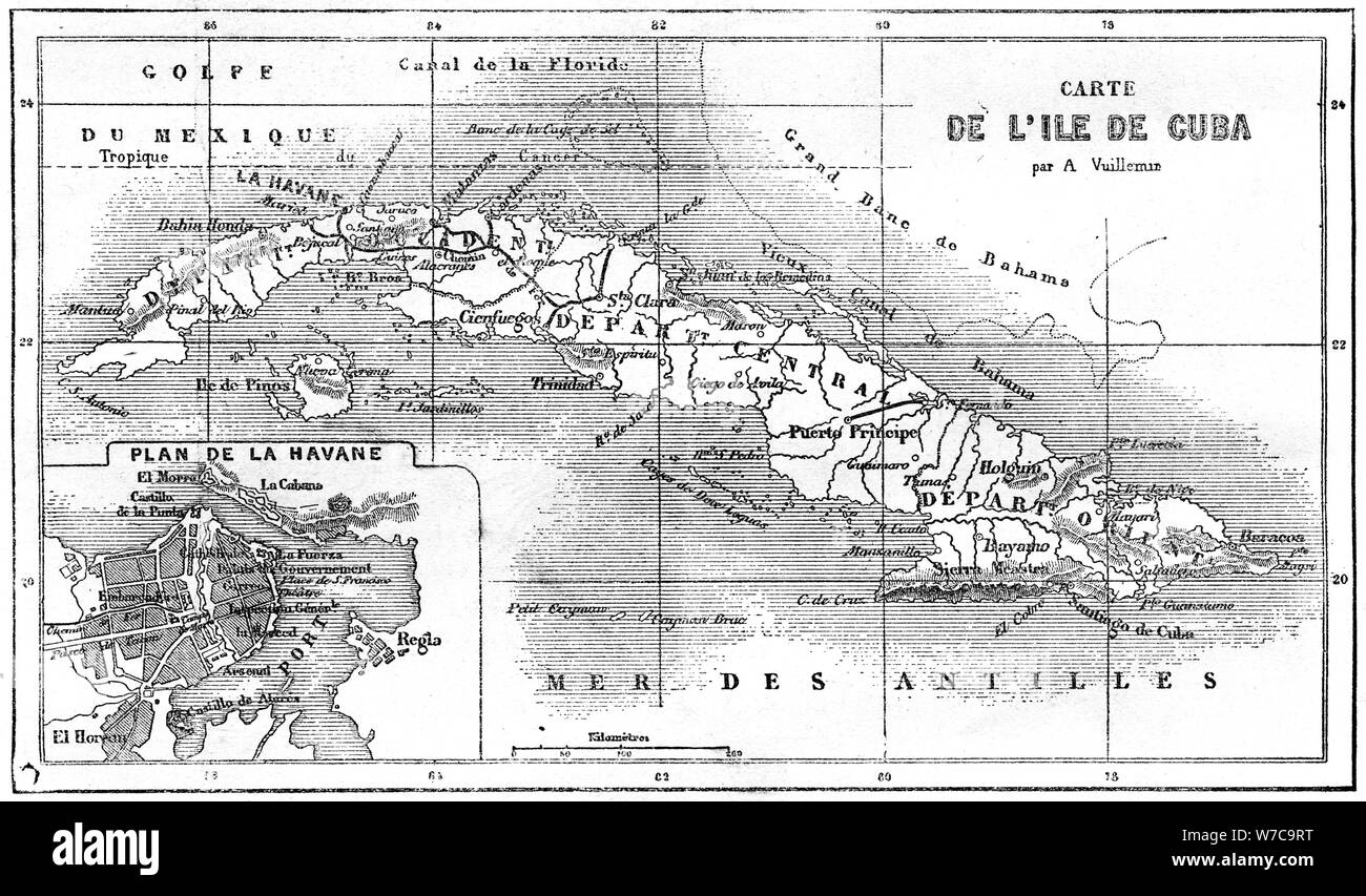 Cuba, 19th century. Artist: Unknown Stock Photohttps://www.alamy.com/image-license-details/?v=1https://www.alamy.com/cuba-19th-century-artist-unknown-image262729260.html
RMW7C9RT–Cuba, 19th century. Artist: Unknown
 Map of South Caribbean on grey model of Earth. 3D illustration Stock Photohttps://www.alamy.com/image-license-details/?v=1https://www.alamy.com/stock-photo-map-of-south-caribbean-on-grey-model-of-earth-3d-illustration-106740855.html
RFG5JD1B–Map of South Caribbean on grey model of Earth. 3D illustration
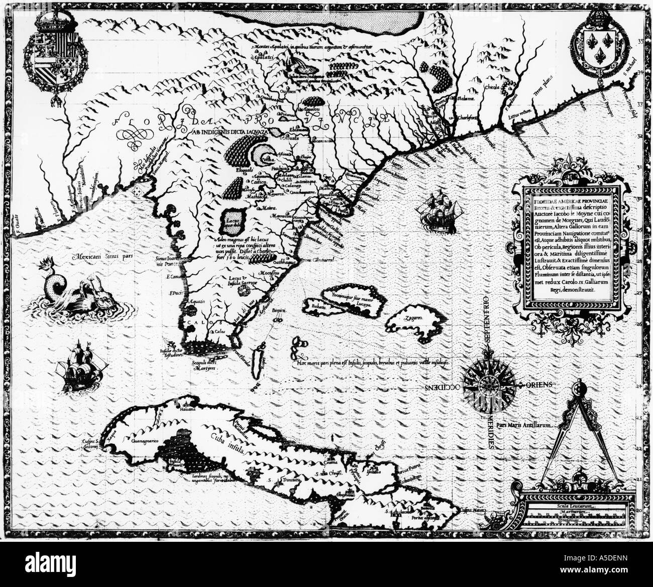 Historic map Stock Photohttps://www.alamy.com/image-license-details/?v=1https://www.alamy.com/stock-photo-historic-map-11278880.html
RMA5DENN–Historic map
RF2YM9DTX–haiti map icon illustration design
RF2FNXW06–Panama vector central costa rica caribbean latin map panama icon
 BLACK CMYK color map of CARIBBEAN ISLANDS Stock Vectorhttps://www.alamy.com/image-license-details/?v=1https://www.alamy.com/black-cmyk-color-map-of-caribbean-islands-image564504587.html
RF2RPBBA3–BLACK CMYK color map of CARIBBEAN ISLANDS
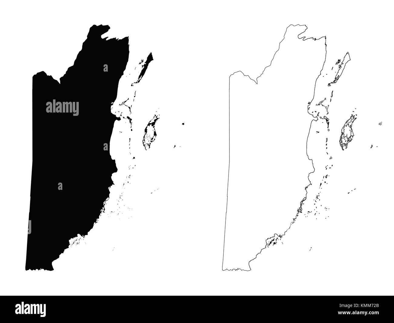 Belize outline map Stock Vectorhttps://www.alamy.com/image-license-details/?v=1https://www.alamy.com/stock-image-belize-outline-map-167631027.html
RFKMM72B–Belize outline map
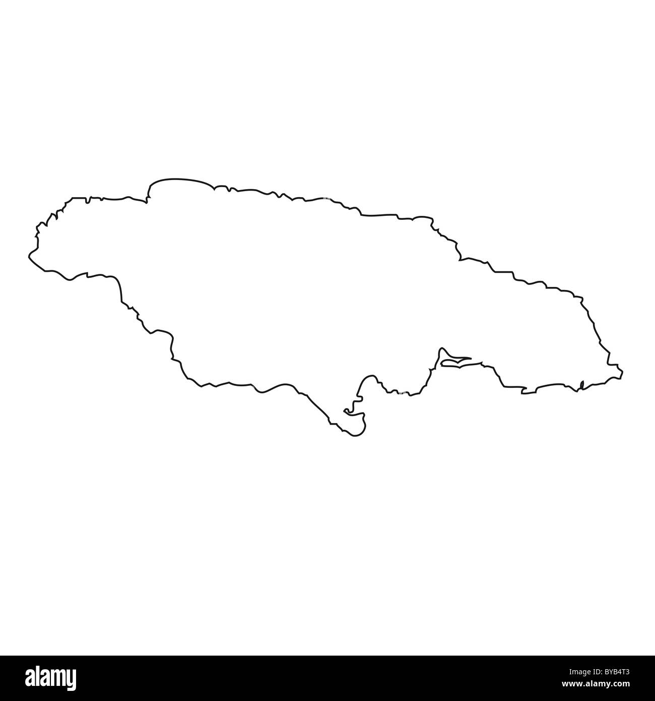 Outline, map of Jamaica Stock Photohttps://www.alamy.com/image-license-details/?v=1https://www.alamy.com/stock-photo-outline-map-of-jamaica-34051363.html
RFBYB4T3–Outline, map of Jamaica
 Isla Colon in the Caribbean Sea, belonging to Panama, cropped to square on a bilevel elevation map Stock Photohttps://www.alamy.com/image-license-details/?v=1https://www.alamy.com/isla-colon-in-the-caribbean-sea-belonging-to-panama-cropped-to-square-on-a-bilevel-elevation-map-image620364476.html
RF2Y18164–Isla Colon in the Caribbean Sea, belonging to Panama, cropped to square on a bilevel elevation map
RF2Y55NJJ–Cuba country map icon element design
RF2S078AF–Pixelated world map icons in 8-bit style, featuring over 190 countries. Perfect for digital art, educational projects, and themed designs.
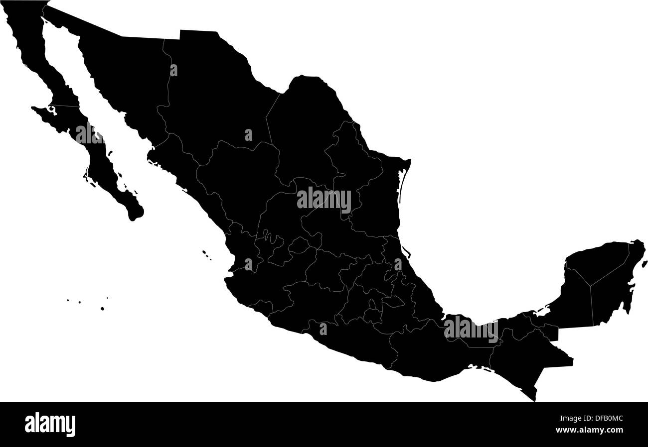 Black Mexico map Stock Photohttps://www.alamy.com/image-license-details/?v=1https://www.alamy.com/black-mexico-map-image61092988.html
RFDFB0MC–Black Mexico map
 Barbados Map Vector Illustration - Silhouette, Outline, Barbados Travel and Tourism Map Stock Vectorhttps://www.alamy.com/image-license-details/?v=1https://www.alamy.com/barbados-map-vector-illustration-silhouette-outline-barbados-travel-and-tourism-map-image611777627.html
RF2XF8TGY–Barbados Map Vector Illustration - Silhouette, Outline, Barbados Travel and Tourism Map
 map of central america and caribbean with shadow Stock Photohttps://www.alamy.com/image-license-details/?v=1https://www.alamy.com/map-of-central-america-and-caribbean-with-shadow-image227936402.html
RFR6RB5P–map of central america and caribbean with shadow
 Map of Central America on old linen Stock Photohttps://www.alamy.com/image-license-details/?v=1https://www.alamy.com/map-of-central-america-on-old-linen-image634538784.html
RF2YT9MKC–Map of Central America on old linen
 Black Saint Lucia map, Caribbean island country. Detailed map with administrative border, coastline, sea and forests, cities and roads. Stock Vectorhttps://www.alamy.com/image-license-details/?v=1https://www.alamy.com/black-saint-lucia-map-caribbean-island-country-detailed-map-with-administrative-border-coastline-sea-and-forests-cities-and-roads-image546682542.html
RF2PNBF4E–Black Saint Lucia map, Caribbean island country. Detailed map with administrative border, coastline, sea and forests, cities and roads.
 Political map of Carribean. Gray lands on white background. Simple flat vector illustration. Stock Vectorhttps://www.alamy.com/image-license-details/?v=1https://www.alamy.com/political-map-of-carribean-gray-lands-on-white-background-simple-flat-vector-illustration-image360278213.html
RF2BX42F1–Political map of Carribean. Gray lands on white background. Simple flat vector illustration.
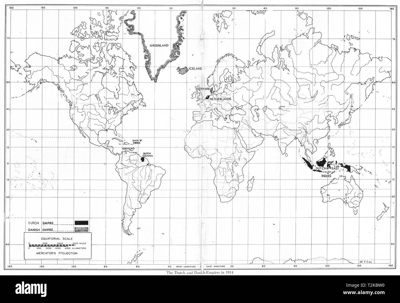 WORLD. The Dutch and Danish Empires in 1914 1948 old vintage map plan chart Stock Photohttps://www.alamy.com/image-license-details/?v=1https://www.alamy.com/world-the-dutch-and-danish-empires-in-1914-1948-old-vintage-map-plan-chart-image242600876.html
RFT2KBW0–WORLD. The Dutch and Danish Empires in 1914 1948 old vintage map plan chart
 North America MAP in Grey, Country Border, North America Map, Border line of North America, Geographic Map Stock Vectorhttps://www.alamy.com/image-license-details/?v=1https://www.alamy.com/north-america-map-in-grey-country-border-north-america-map-border-line-of-north-america-geographic-map-image633376717.html
RF2YPCPD1–North America MAP in Grey, Country Border, North America Map, Border line of North America, Geographic Map
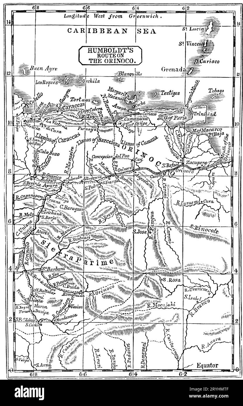 Humboldt's Route on the Orinoco, 1800. Friedrich Wilhelm Heinrich Alexander von Humboldt (1769-1859) was a German polymath, geographer, naturalist and explorer. In February 1800, Humboldt explored the course of the Orinoco River and its tributaries. This trip, which lasted four months and covered 1,725 miles (2,776 km), had an aim of establishing the existence of the Casiquiare canal. Stock Photohttps://www.alamy.com/image-license-details/?v=1https://www.alamy.com/humboldts-route-on-the-orinoco-1800-friedrich-wilhelm-heinrich-alexander-von-humboldt-1769-1859-was-a-german-polymath-geographer-naturalist-and-explorer-in-february-1800-humboldt-explored-the-course-of-theorinoco-riverand-its-tributaries-this-trip-which-lasted-four-months-and-covered-1725-miles-2776km-had-an-aim-of-establishing-the-existence-of-thecasiquiare-canal-image567717039.html
RM2RYHMTF–Humboldt's Route on the Orinoco, 1800. Friedrich Wilhelm Heinrich Alexander von Humboldt (1769-1859) was a German polymath, geographer, naturalist and explorer. In February 1800, Humboldt explored the course of the Orinoco River and its tributaries. This trip, which lasted four months and covered 1,725 miles (2,776 km), had an aim of establishing the existence of the Casiquiare canal.
 Map of North Caribbean on grey model of Earth. 3D illustration Stock Photohttps://www.alamy.com/image-license-details/?v=1https://www.alamy.com/stock-photo-map-of-north-caribbean-on-grey-model-of-earth-3d-illustration-106740830.html
RFG5JD0E–Map of North Caribbean on grey model of Earth. 3D illustration
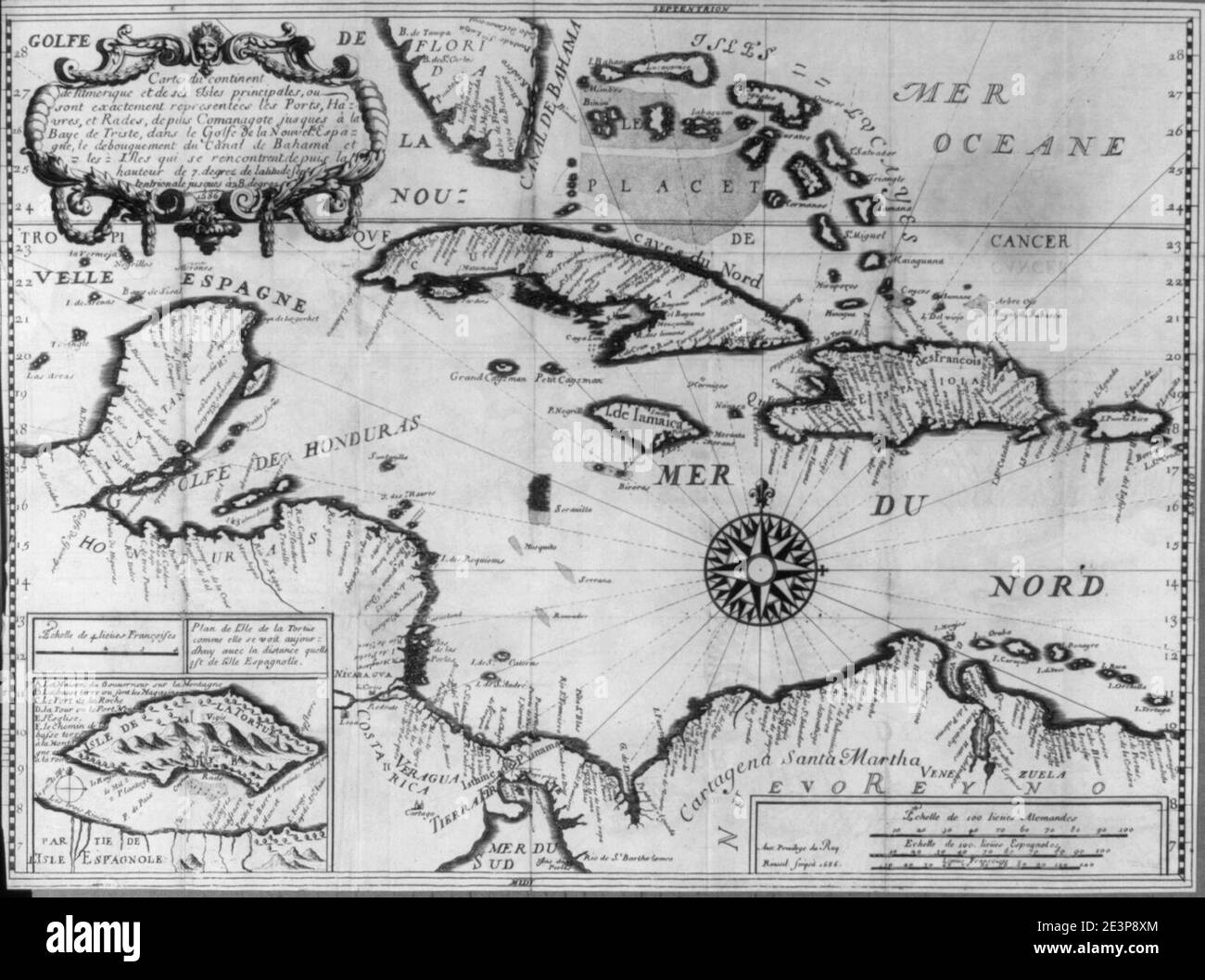 Map of the Caribbean in French; 1686 Stock Photohttps://www.alamy.com/image-license-details/?v=1https://www.alamy.com/map-of-the-caribbean-in-french-1686-image398172396.html
RM2E3P8XM–Map of the Caribbean in French; 1686
RF2YM9D5A–haiti map icon illustration design
 Cuba vector map. Bahamas caribbean area cuba island havana city map Stock Vectorhttps://www.alamy.com/image-license-details/?v=1https://www.alamy.com/cuba-vector-map-bahamas-caribbean-area-cuba-island-havana-city-map-image426547065.html
RF2FNXW3N–Cuba vector map. Bahamas caribbean area cuba island havana city map
 Jamaica silhouette map Stock Vectorhttps://www.alamy.com/image-license-details/?v=1https://www.alamy.com/jamaica-silhouette-map-image384945682.html
RF2DA7P42–Jamaica silhouette map
 Aruba outline map Stock Vectorhttps://www.alamy.com/image-license-details/?v=1https://www.alamy.com/stock-image-aruba-outline-map-167542847.html
RFKMG6H3–Aruba outline map
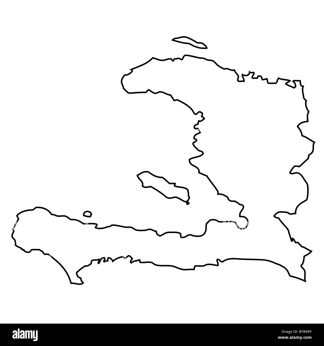 Outline, map of Haiti Stock Photohttps://www.alamy.com/image-license-details/?v=1https://www.alamy.com/stock-photo-outline-map-of-haiti-34051347.html
RFBYB4RF–Outline, map of Haiti
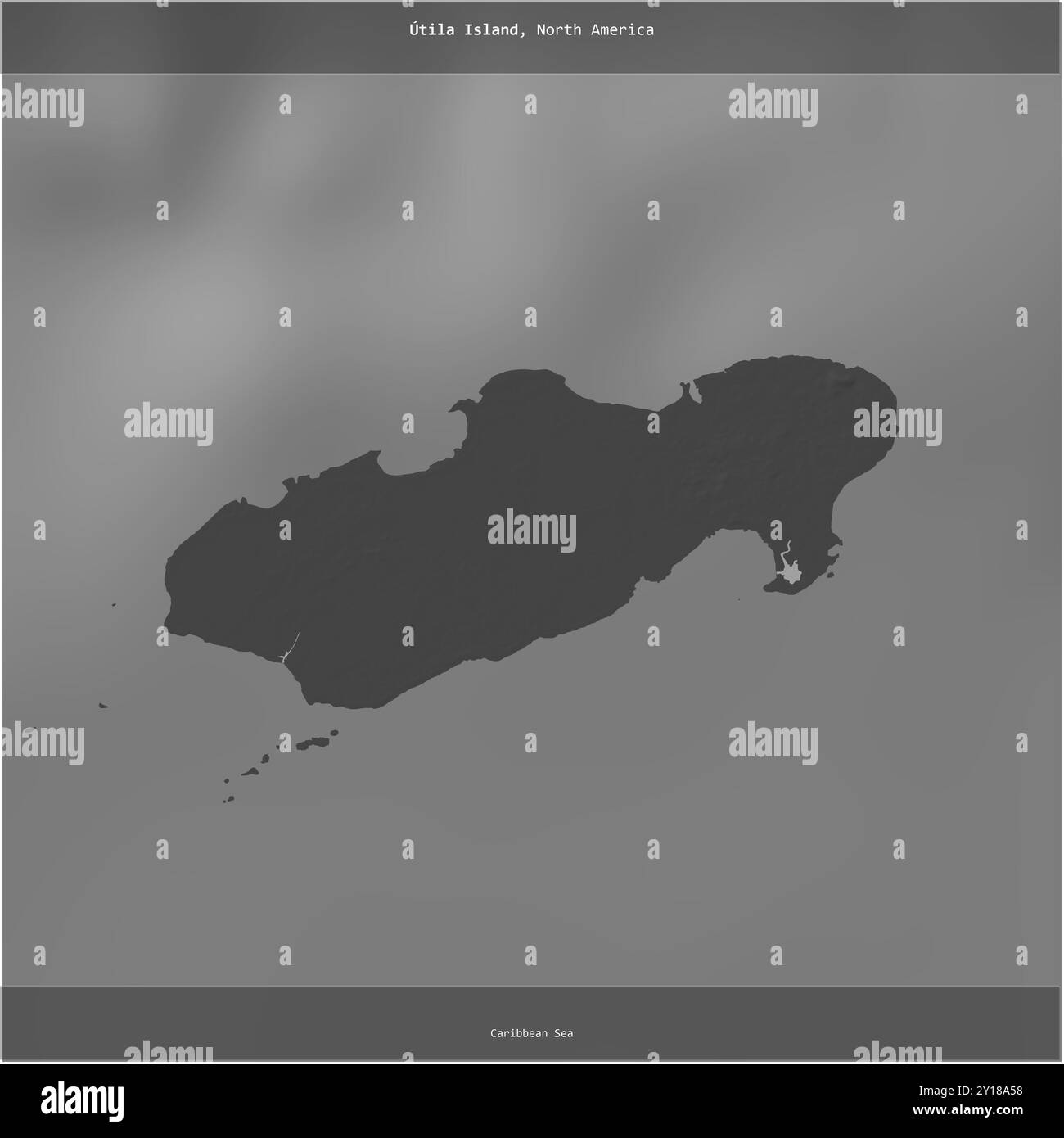 Utila Island in the Caribbean Sea, belonging to Honduras, cropped to square on a bilevel elevation map Stock Photohttps://www.alamy.com/image-license-details/?v=1https://www.alamy.com/utila-island-in-the-caribbean-sea-belonging-to-honduras-cropped-to-square-on-a-bilevel-elevation-map-image620371508.html
RF2Y18A58–Utila Island in the Caribbean Sea, belonging to Honduras, cropped to square on a bilevel elevation map
RF2Y55NBD–Cuba country map icon element design
RF2S079ET–Pixelated world map icons in 8-bit style, featuring over 190 countries. Perfect for digital art, educational projects, and themed designs.
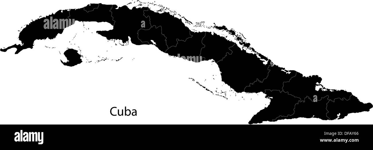 Black Cuba map Stock Photohttps://www.alamy.com/image-license-details/?v=1https://www.alamy.com/black-cuba-map-image61091806.html
RFDFAY66–Black Cuba map
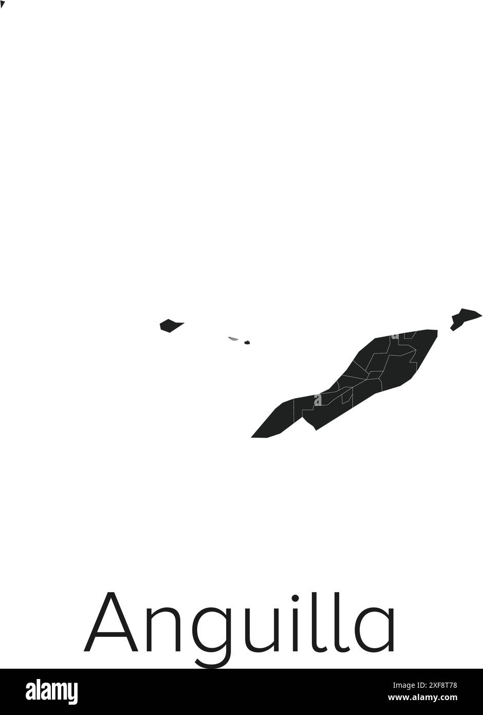 Anguilla Map Vector Illustration - Silhouette, Outline, Anguilla Travel and Tourism Map Stock Vectorhttps://www.alamy.com/image-license-details/?v=1https://www.alamy.com/anguilla-map-vector-illustration-silhouette-outline-anguilla-travel-and-tourism-map-image611777356.html
RF2XF8T78–Anguilla Map Vector Illustration - Silhouette, Outline, Anguilla Travel and Tourism Map
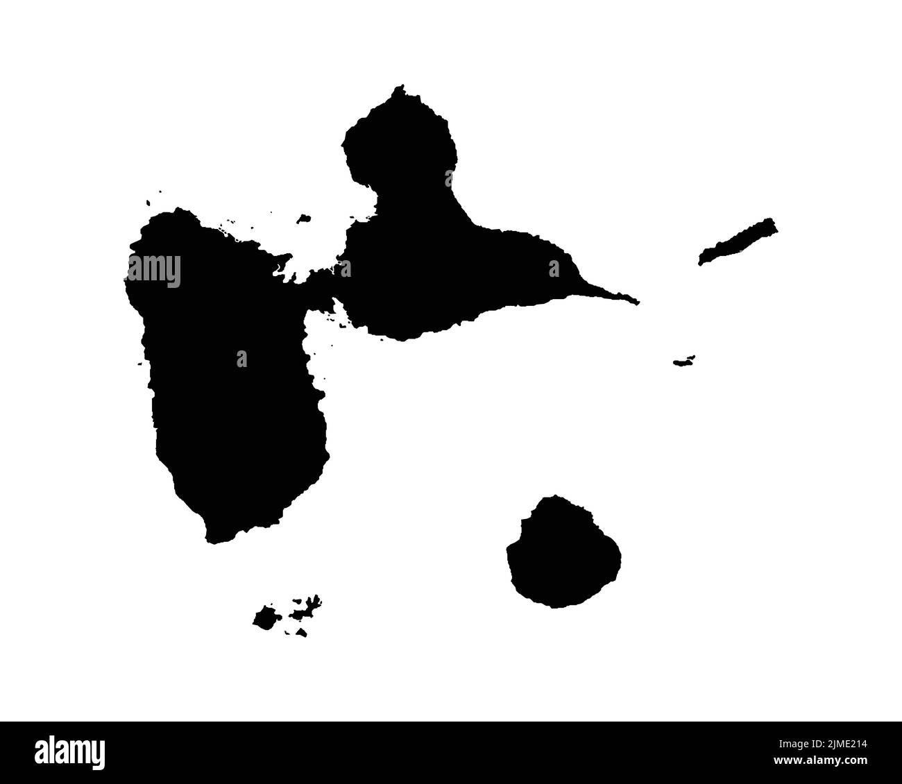 Guadeloupe Map. Guadeloupean Map. Black and White French Overseas Department Territory Border Boundary Line Outline Geography Shape Vector Illustratio Stock Vectorhttps://www.alamy.com/image-license-details/?v=1https://www.alamy.com/guadeloupe-map-guadeloupean-map-black-and-white-french-overseas-department-territory-border-boundary-line-outline-geography-shape-vector-illustratio-image477281984.html
RF2JME214–Guadeloupe Map. Guadeloupean Map. Black and White French Overseas Department Territory Border Boundary Line Outline Geography Shape Vector Illustratio
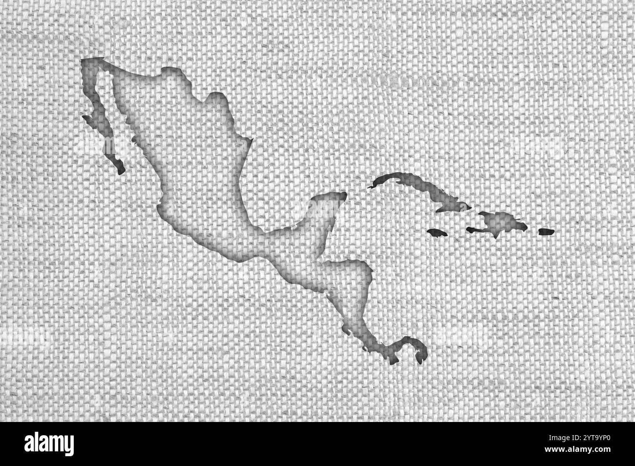 Map of Central America on old linen Stock Photohttps://www.alamy.com/image-license-details/?v=1https://www.alamy.com/map-of-central-america-on-old-linen-image634544344.html
RF2YT9YP0–Map of Central America on old linen
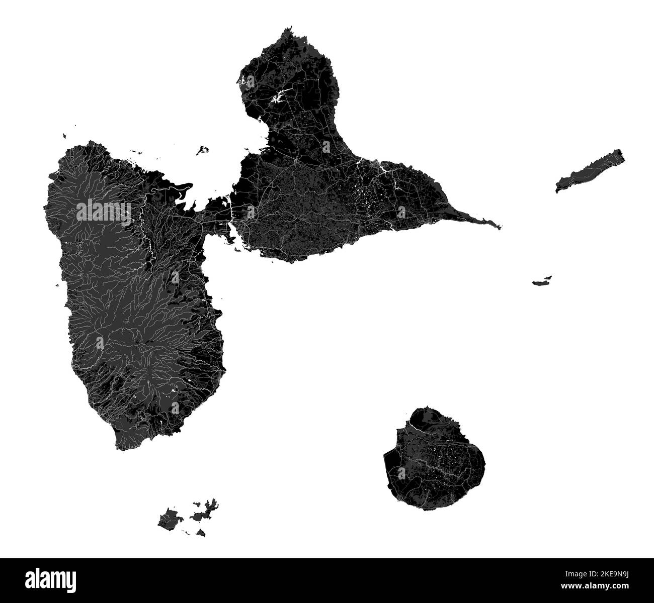 Guadeloupe map, Caribbean islands. Archipelago and overseas department and region of France. Dark black map with rivers, forests, white background. Stock Vectorhttps://www.alamy.com/image-license-details/?v=1https://www.alamy.com/guadeloupe-map-caribbean-islands-archipelago-and-overseas-department-and-region-of-france-dark-black-map-with-rivers-forests-white-background-image490709790.html
RF2KE9N9J–Guadeloupe map, Caribbean islands. Archipelago and overseas department and region of France. Dark black map with rivers, forests, white background.
 Map of Central America and Caribbean. Handdrawn doodle style. Vector illustration. Stock Vectorhttps://www.alamy.com/image-license-details/?v=1https://www.alamy.com/map-of-central-america-and-caribbean-handdrawn-doodle-style-vector-illustration-image360278914.html
RF2BX43C2–Map of Central America and Caribbean. Handdrawn doodle style. Vector illustration.
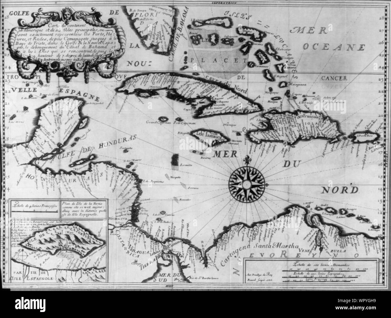 Map of the Caribbean in French; 1686 Stock Photohttps://www.alamy.com/image-license-details/?v=1https://www.alamy.com/map-of-the-caribbean-in-french-1686-image272283685.html
RMWPYGH9–Map of the Caribbean in French; 1686
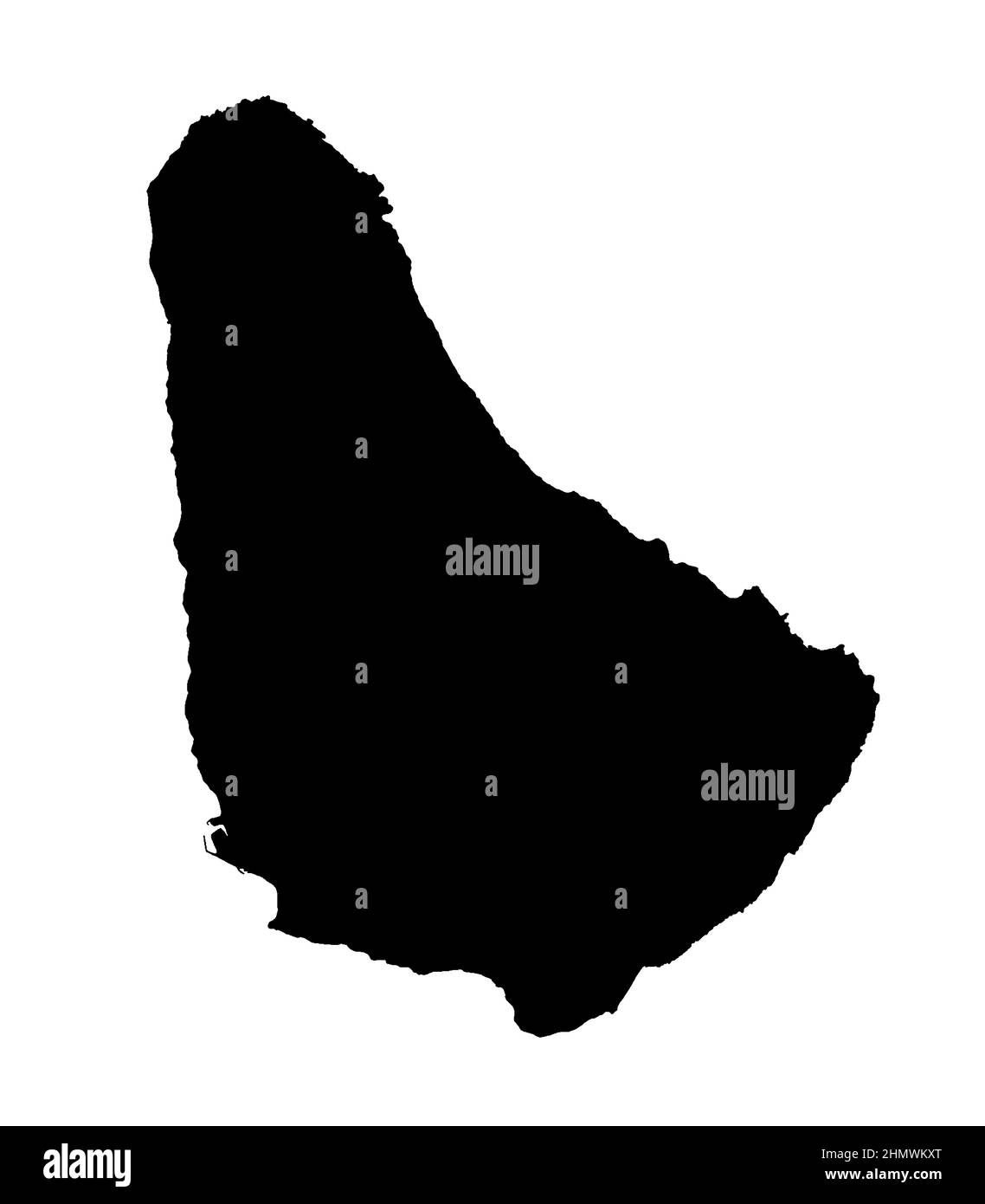 Barbados Caribbean island silhouette map isolated on a white background Stock Photohttps://www.alamy.com/image-license-details/?v=1https://www.alamy.com/barbados-caribbean-island-silhouette-map-isolated-on-a-white-background-image460327136.html
RF2HMWKXT–Barbados Caribbean island silhouette map isolated on a white background
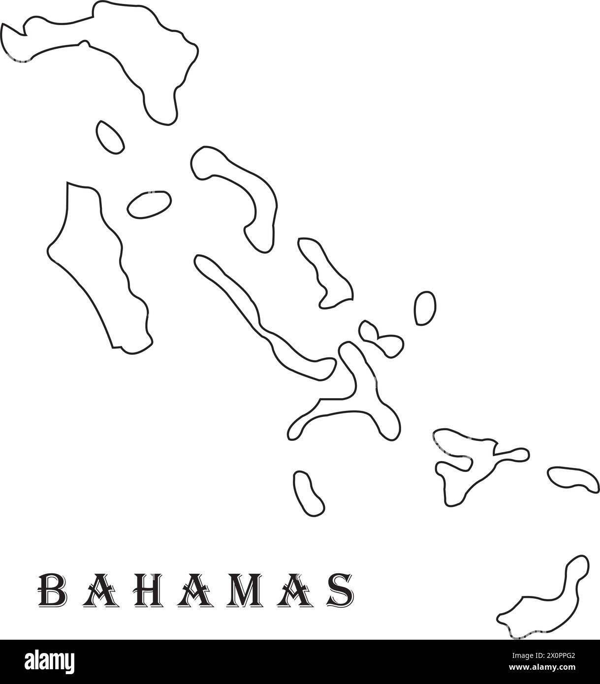 Bahamas map vector illustration symbol design Stock Vectorhttps://www.alamy.com/image-license-details/?v=1https://www.alamy.com/bahamas-map-vector-illustration-symbol-design-image602863522.html
RF2X0PPG2–Bahamas map vector illustration symbol design
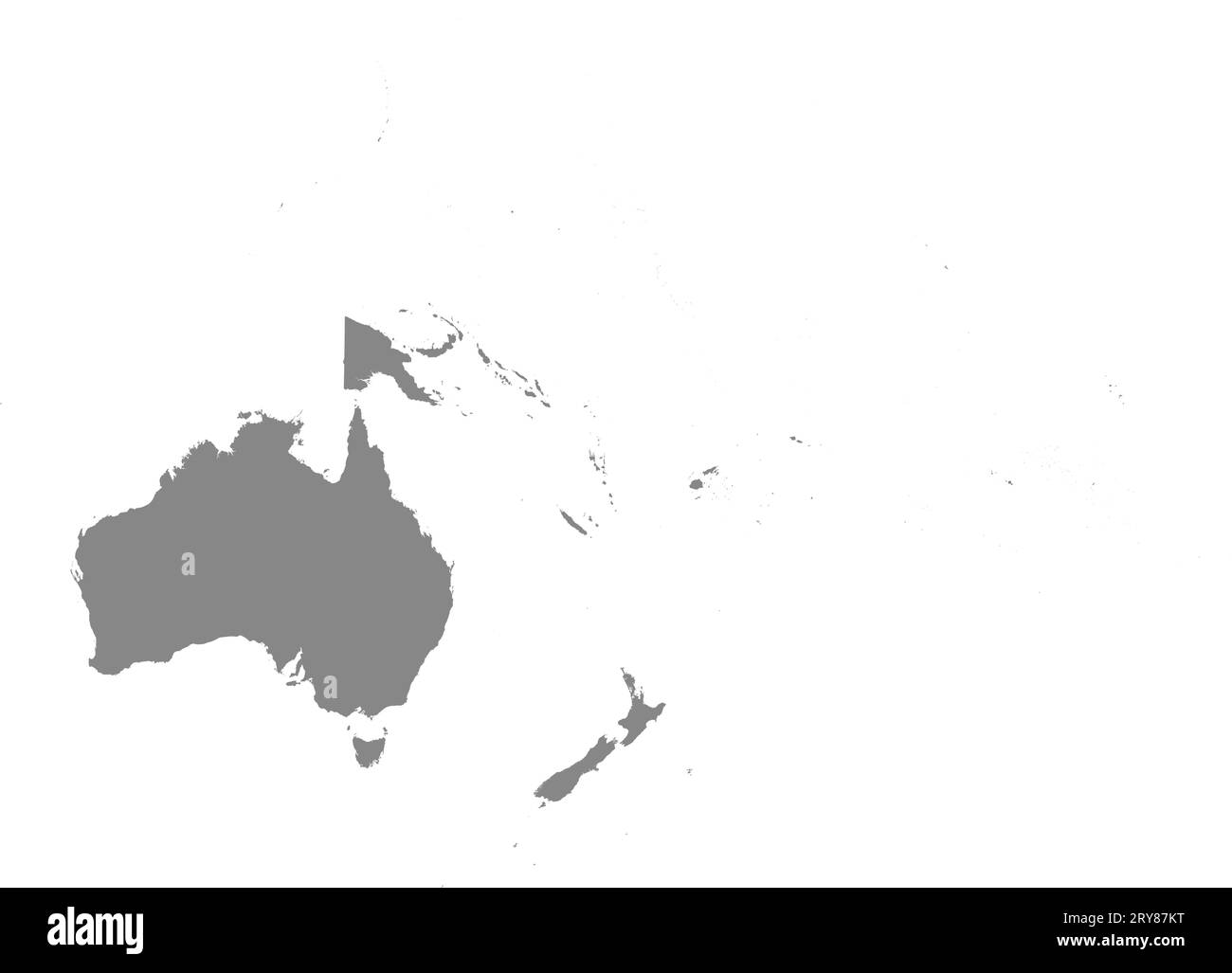 GRAY CMYK color map of OCEANIA Stock Vectorhttps://www.alamy.com/image-license-details/?v=1https://www.alamy.com/gray-cmyk-color-map-of-oceania-image567509148.html
RF2RY87KT–GRAY CMYK color map of OCEANIA
 Map showing Central America and Caribbean Sea Stock Photohttps://www.alamy.com/image-license-details/?v=1https://www.alamy.com/map-showing-central-america-and-caribbean-sea-image398166423.html
RM2E3P19B–Map showing Central America and Caribbean Sea
RF2YM9DTT–haiti map icon illustration design
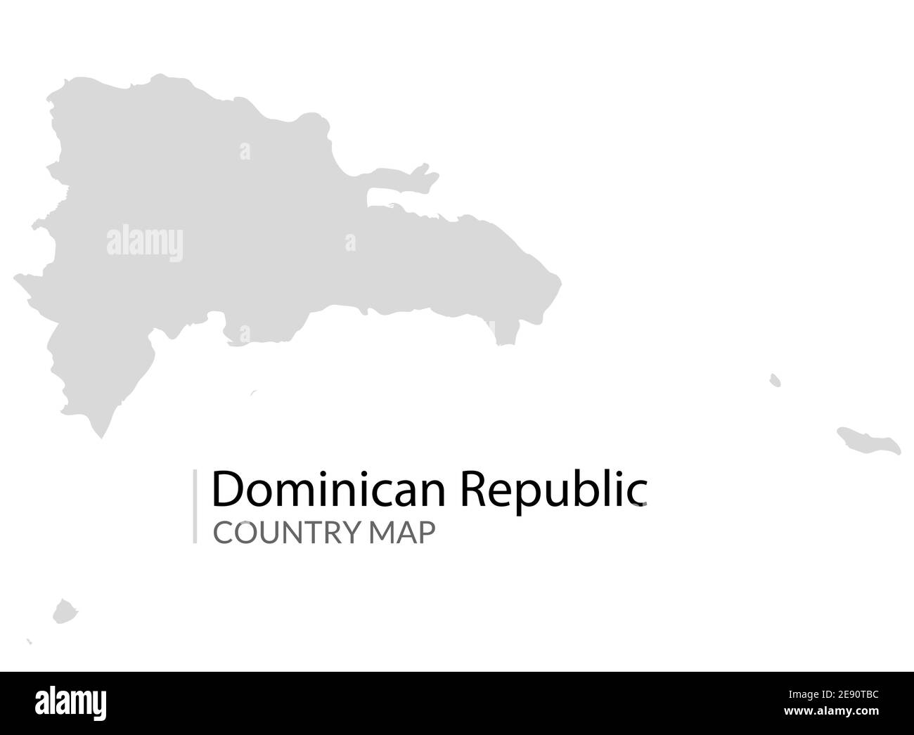 Dominican republic map vector country carribean island Stock Vectorhttps://www.alamy.com/image-license-details/?v=1https://www.alamy.com/dominican-republic-map-vector-country-carribean-island-image401389504.html
RF2E90TBC–Dominican republic map vector country carribean island
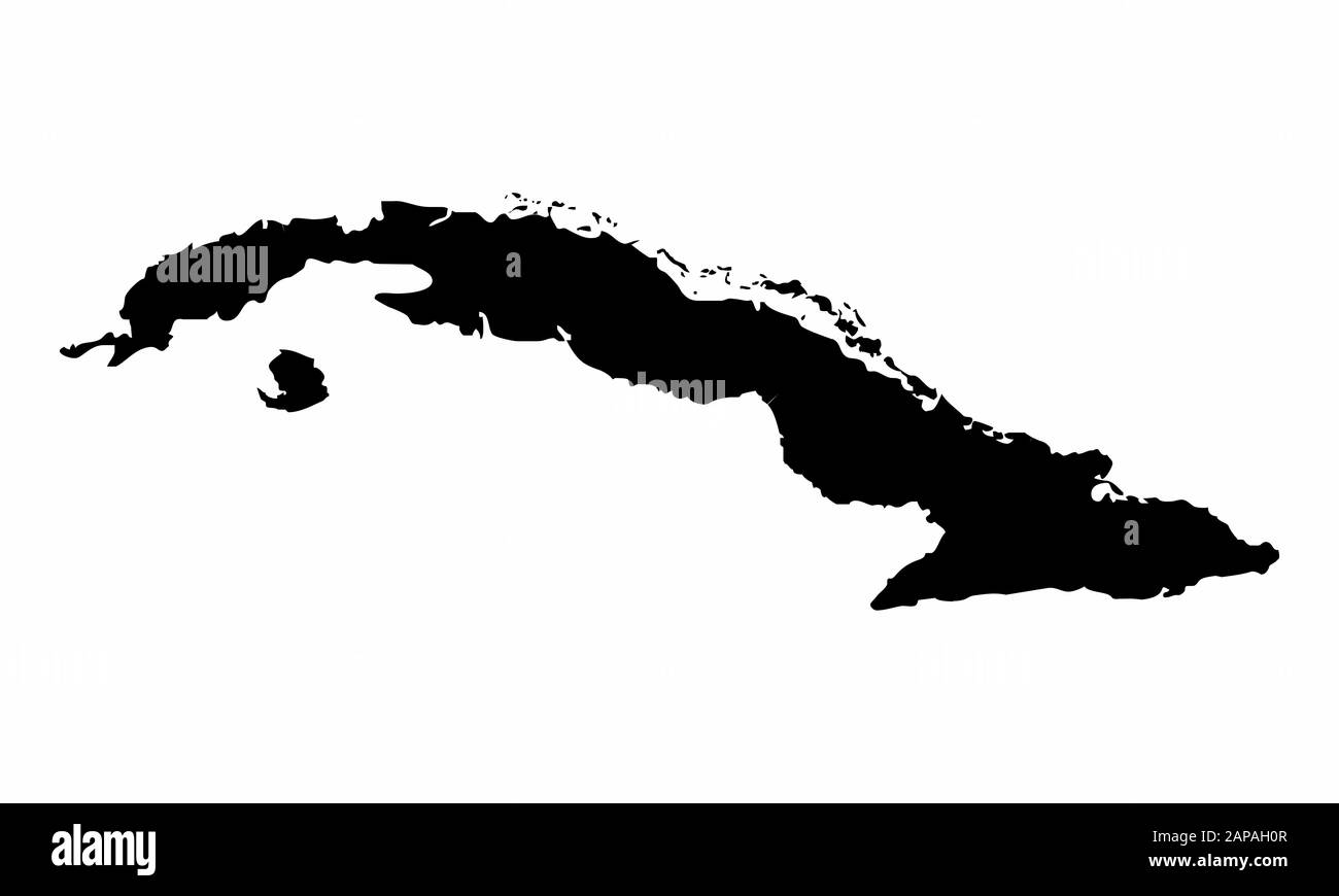 Cuba silhouette map Stock Vectorhttps://www.alamy.com/image-license-details/?v=1https://www.alamy.com/cuba-silhouette-map-image340752295.html
RF2APAH0R–Cuba silhouette map
 Vector halftone Dotted map of Honduras country for your design, Travel Illustration concept. Stock Vectorhttps://www.alamy.com/image-license-details/?v=1https://www.alamy.com/vector-halftone-dotted-map-of-honduras-country-for-your-design-travel-illustration-concept-image434105474.html
RF2G675XX–Vector halftone Dotted map of Honduras country for your design, Travel Illustration concept.
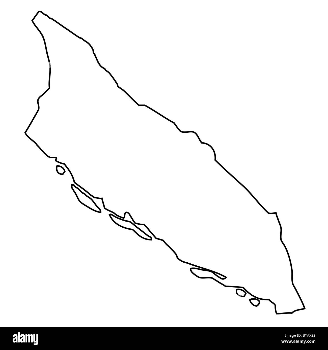 Outline, map of Aruba Stock Photohttps://www.alamy.com/image-license-details/?v=1https://www.alamy.com/stock-photo-outline-map-of-aruba-34046042.html
RFBYAX22–Outline, map of Aruba
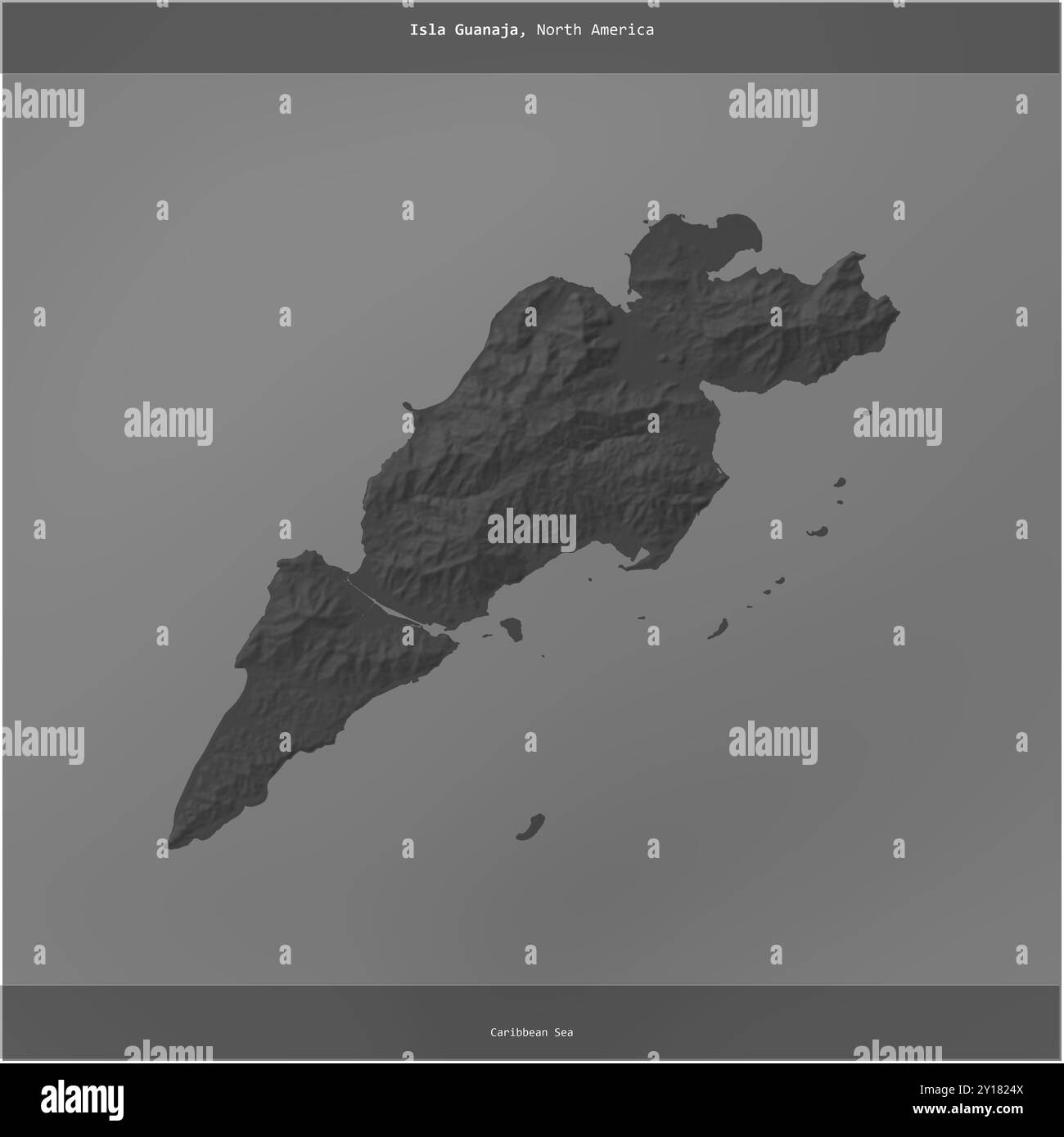 Isla Guanaja in the Caribbean Sea, belonging to Honduras, cropped to square on a bilevel elevation map Stock Photohttps://www.alamy.com/image-license-details/?v=1https://www.alamy.com/isla-guanaja-in-the-caribbean-sea-belonging-to-honduras-cropped-to-square-on-a-bilevel-elevation-map-image620365226.html
RF2Y1824X–Isla Guanaja in the Caribbean Sea, belonging to Honduras, cropped to square on a bilevel elevation map
RF2Y55PJ0–Cuba country map icon element design
RF2S079EN–Pixelated world map icons in 8-bit style, featuring over 190 countries. Perfect for digital art, educational projects, and themed designs.
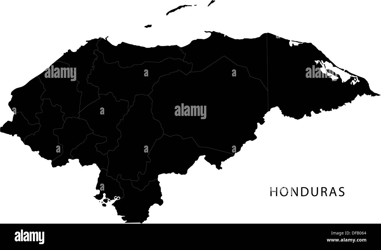 Black Honduras map Stock Photohttps://www.alamy.com/image-license-details/?v=1https://www.alamy.com/black-honduras-map-image61092588.html
RFDFB064–Black Honduras map
 Cuba Map Vector Illustration - Silhouette, Outline, Cuba Travel and Tourism Map Stock Vectorhttps://www.alamy.com/image-license-details/?v=1https://www.alamy.com/cuba-map-vector-illustration-silhouette-outline-cuba-travel-and-tourism-map-image611777640.html
RF2XF8THC–Cuba Map Vector Illustration - Silhouette, Outline, Cuba Travel and Tourism Map
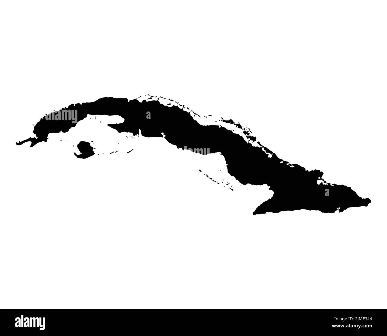 Cuba Map. Cuban Country Map. Black and White National Outline Geography Border Boundary Shape Territory EPS Vector Illustration Clipart Stock Vectorhttps://www.alamy.com/image-license-details/?v=1https://www.alamy.com/cuba-map-cuban-country-map-black-and-white-national-outline-geography-border-boundary-shape-territory-eps-vector-illustration-clipart-image477282852.html
RF2JME344–Cuba Map. Cuban Country Map. Black and White National Outline Geography Border Boundary Shape Territory EPS Vector Illustration Clipart
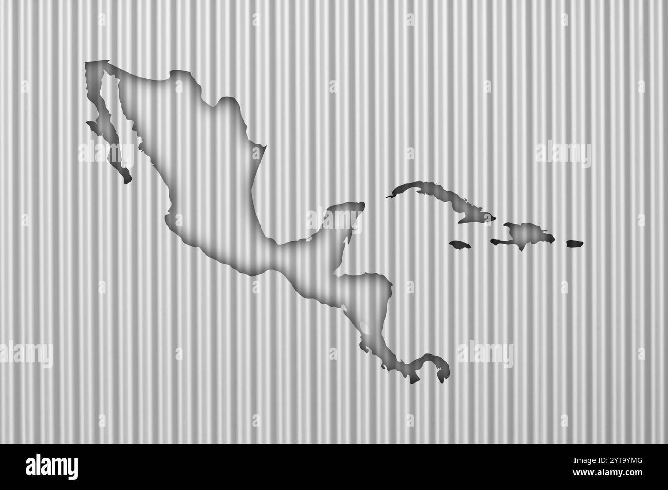 Map of Central America on corrugated iron Stock Photohttps://www.alamy.com/image-license-details/?v=1https://www.alamy.com/map-of-central-america-on-corrugated-iron-image634544304.html
RF2YT9YMG–Map of Central America on corrugated iron
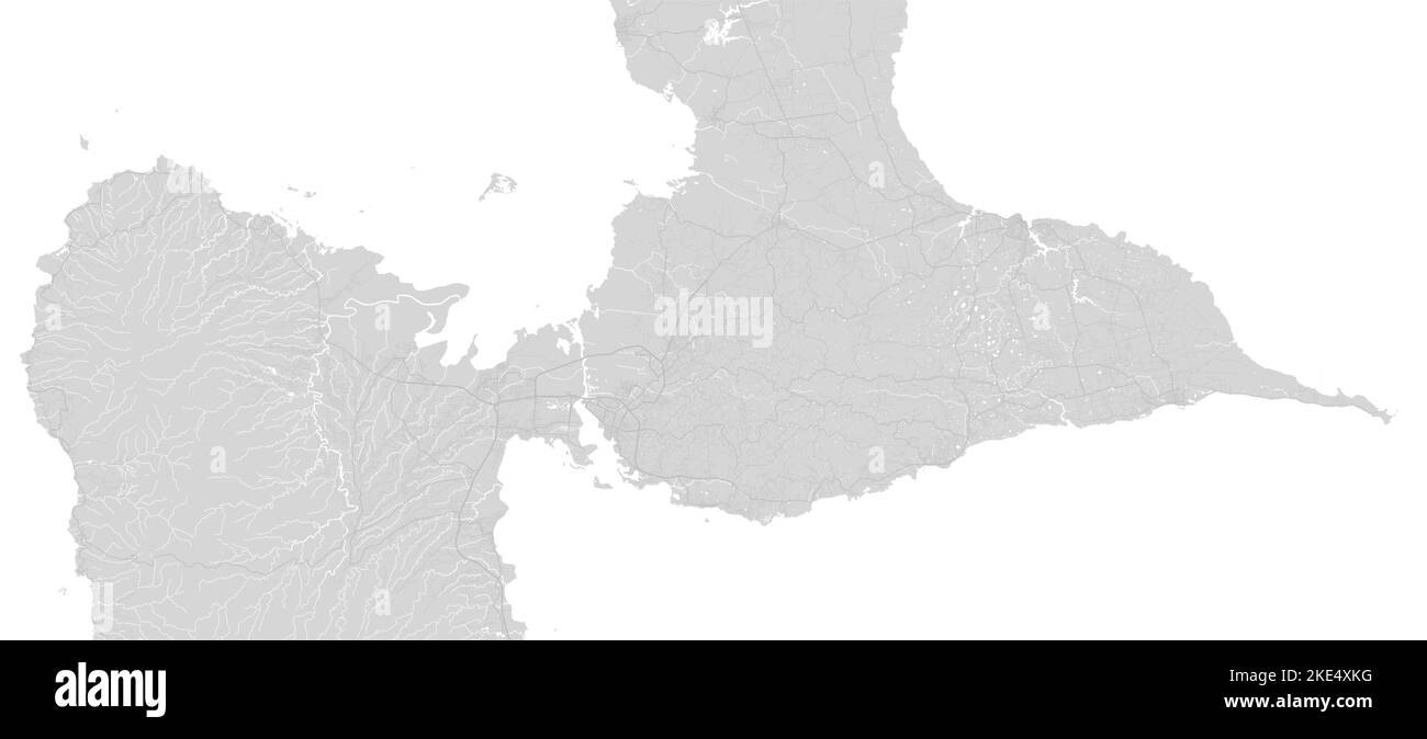 White and grey horizontal map of Guadeloupe, Caribbean islands. Archipelago and overseas department and region of France. Urban area cityscape vector Stock Vectorhttps://www.alamy.com/image-license-details/?v=1https://www.alamy.com/white-and-grey-horizontal-map-of-guadeloupe-caribbean-islands-archipelago-and-overseas-department-and-region-of-france-urban-area-cityscape-vector-image490604228.html
RF2KE4XKG–White and grey horizontal map of Guadeloupe, Caribbean islands. Archipelago and overseas department and region of France. Urban area cityscape vector