Quick filters:
Outline map germany Stock Photos and Images
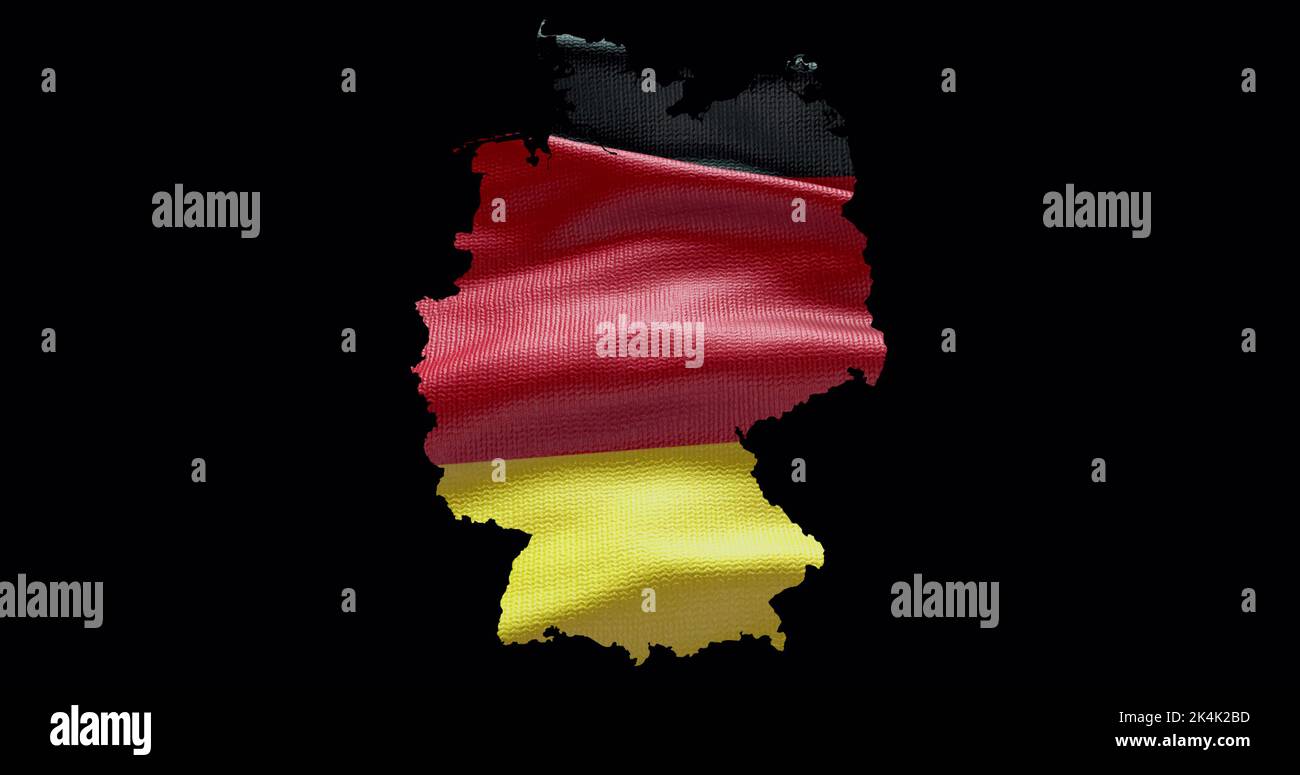 Germany map shape with waving flag background. Alpha channel outline of country. Stock Photohttps://www.alamy.com/image-license-details/?v=1https://www.alamy.com/germany-map-shape-with-waving-flag-background-alpha-channel-outline-of-country-image484767905.html
RF2K4K2BD–Germany map shape with waving flag background. Alpha channel outline of country.
 Map Outline of Germany cutout dropout Stock Photohttps://www.alamy.com/image-license-details/?v=1https://www.alamy.com/stock-photo-map-outline-of-germany-cutout-dropout-18422059.html
RMB1Y5EK–Map Outline of Germany cutout dropout
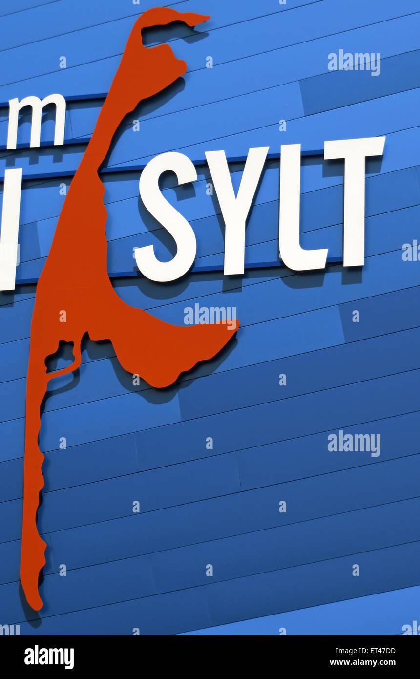 List, Germany, lettering and outline of the island of Sylt Stock Photohttps://www.alamy.com/image-license-details/?v=1https://www.alamy.com/stock-photo-list-germany-lettering-and-outline-of-the-island-of-sylt-83686889.html
RMET47DD–List, Germany, lettering and outline of the island of Sylt
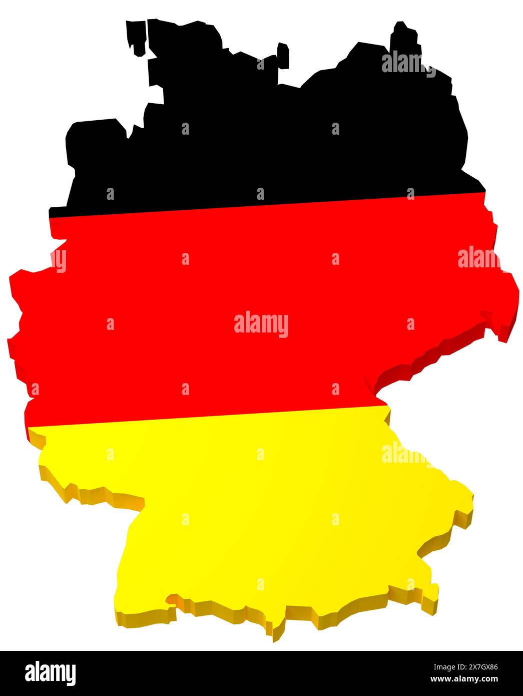 The map of Germany overlayed by the German flag isolated on pure white background. Stock Photohttps://www.alamy.com/image-license-details/?v=1https://www.alamy.com/the-map-of-germany-overlayed-by-the-german-flag-isolated-on-pure-white-background-image607037318.html
RF2X7GX86–The map of Germany overlayed by the German flag isolated on pure white background.
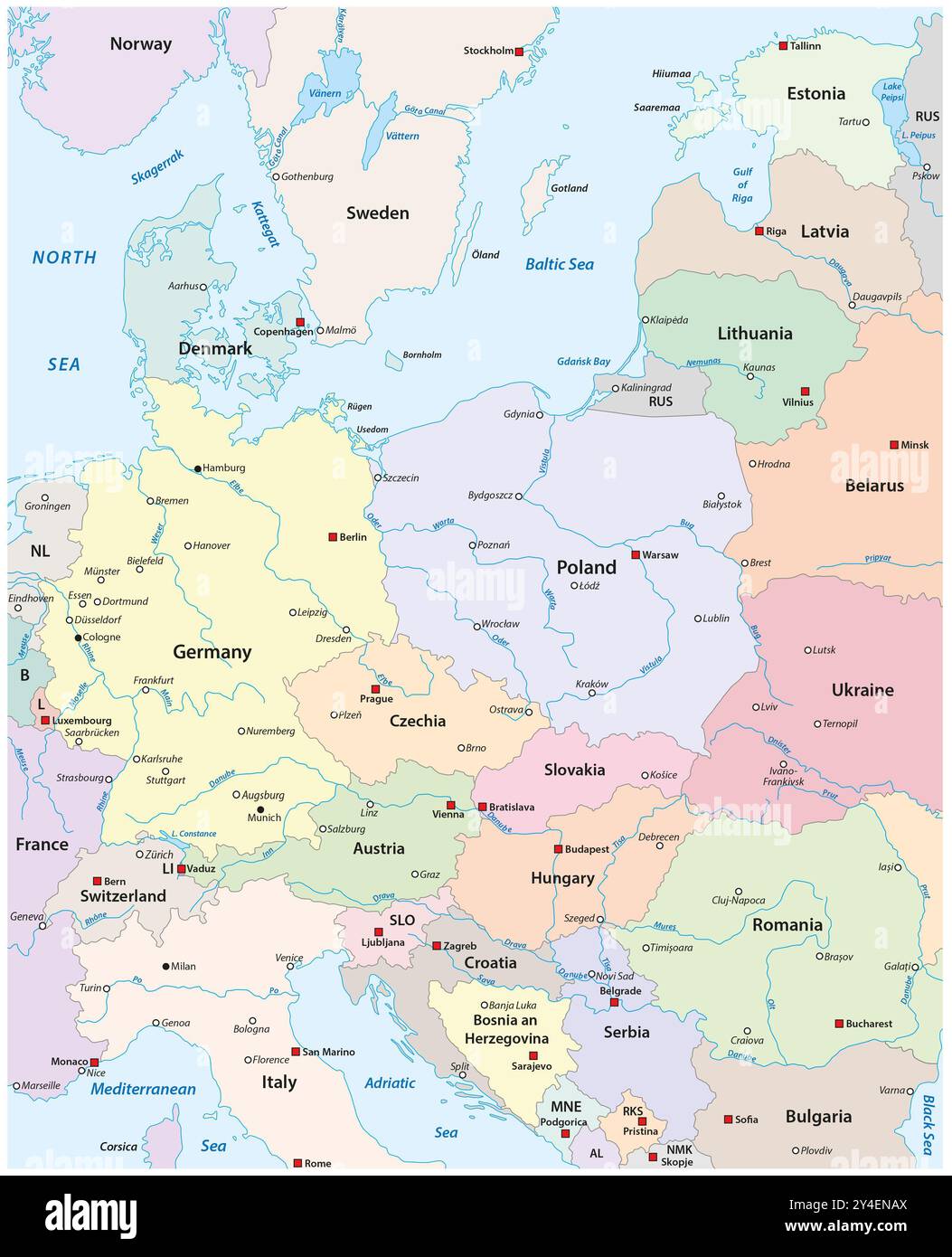 Map of Central Europe with the most important cities and rivers Stock Photohttps://www.alamy.com/image-license-details/?v=1https://www.alamy.com/map-of-central-europe-with-the-most-important-cities-and-rivers-image622355970.html
RF2Y4ENAX–Map of Central Europe with the most important cities and rivers
 map of germany Stock Photohttps://www.alamy.com/image-license-details/?v=1https://www.alamy.com/stock-photo-map-of-germany-114854367.html
RFGJT1WK–map of germany
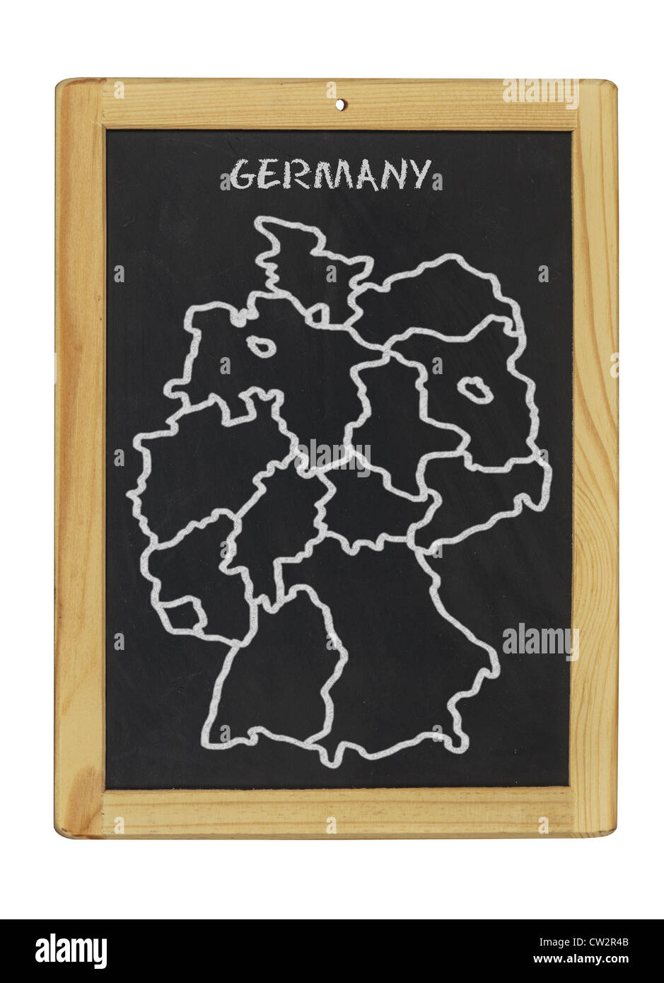 map of germany on a chalkboard Stock Photohttps://www.alamy.com/image-license-details/?v=1https://www.alamy.com/stock-photo-map-of-germany-on-a-chalkboard-49849195.html
RFCW2R4B–map of germany on a chalkboard
 Germany map touchscreen is operated by man. Stock Photohttps://www.alamy.com/image-license-details/?v=1https://www.alamy.com/stock-image-germany-map-touchscreen-is-operated-by-man-161927202.html
RFKBCBPA–Germany map touchscreen is operated by man.
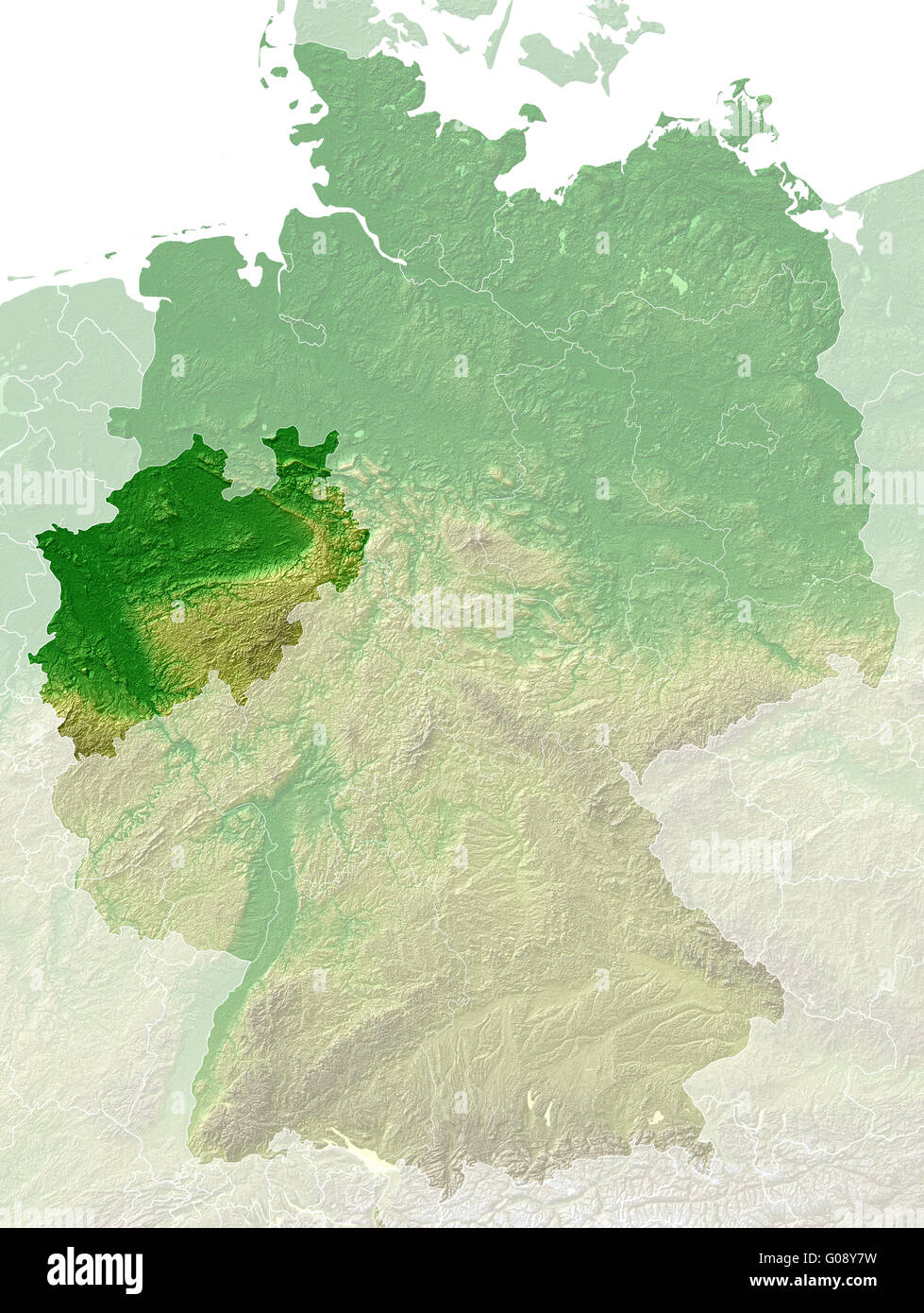 North Rhine-Westphalia - topographical relief map Stock Photohttps://www.alamy.com/image-license-details/?v=1https://www.alamy.com/stock-photo-north-rhine-westphalia-topographical-relief-map-103459213.html
RMG08Y7W–North Rhine-Westphalia - topographical relief map
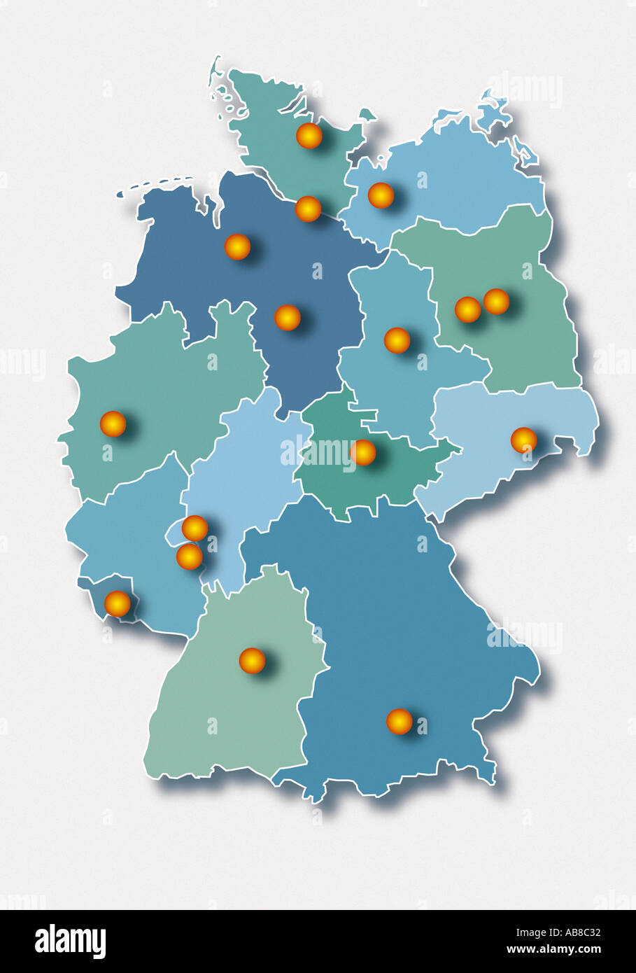 Map of Germany Stock Photohttps://www.alamy.com/image-license-details/?v=1https://www.alamy.com/map-of-germany-image756786.html
RFAB8C32–Map of Germany
 Map of Germany on texture Stock Photohttps://www.alamy.com/image-license-details/?v=1https://www.alamy.com/map-of-germany-on-texture-image634542613.html
RF2YT9WG5–Map of Germany on texture
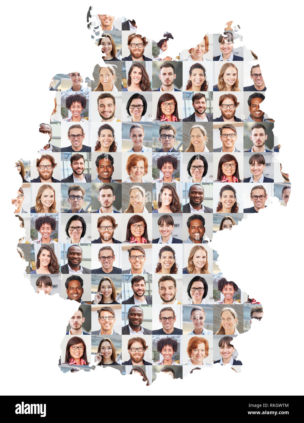 Portrait collage of business people on Germany map as business concept Stock Photohttps://www.alamy.com/image-license-details/?v=1https://www.alamy.com/portrait-collage-of-business-people-on-germany-map-as-business-concept-image235784772.html
RFRKGWTM–Portrait collage of business people on Germany map as business concept
 Map of Germany, three A's, one red A, risk of losing rating, Triple A rating, symbolic image for rating agencies Stock Photohttps://www.alamy.com/image-license-details/?v=1https://www.alamy.com/stock-photo-map-of-germany-three-as-one-red-a-risk-of-losing-rating-triple-a-rating-48583942.html
RFCR158P–Map of Germany, three A's, one red A, risk of losing rating, Triple A rating, symbolic image for rating agencies
 Map of Germany with National Flag on Light Blue Background Stock Photohttps://www.alamy.com/image-license-details/?v=1https://www.alamy.com/map-of-germany-with-national-flag-on-light-blue-background-image617531700.html
RF2XTJYYG–Map of Germany with National Flag on Light Blue Background
 Outline of Germany with flag inserted Stock Photohttps://www.alamy.com/image-license-details/?v=1https://www.alamy.com/outline-of-germany-with-flag-inserted-image635707491.html
RF2YX6YAY–Outline of Germany with flag inserted
 Abstract map of Germany designed as a brick wall Stock Photohttps://www.alamy.com/image-license-details/?v=1https://www.alamy.com/abstract-map-of-germany-designed-as-a-brick-wall-image610947642.html
RF2XDY1XJ–Abstract map of Germany designed as a brick wall
 Black Map of Germany on White Background. Stock Photohttps://www.alamy.com/image-license-details/?v=1https://www.alamy.com/black-map-of-germany-on-white-background-image543485163.html
RF2PG5TTB–Black Map of Germany on White Background.
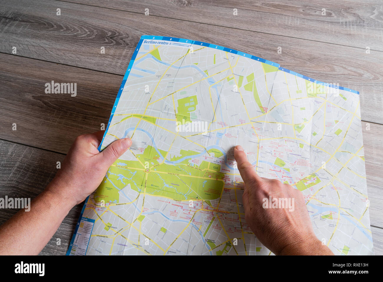 the consultation of the city map of Berlin Stock Photohttps://www.alamy.com/image-license-details/?v=1https://www.alamy.com/the-consultation-of-the-city-map-of-berlin-image240024053.html
RMRXE13H–the consultation of the city map of Berlin
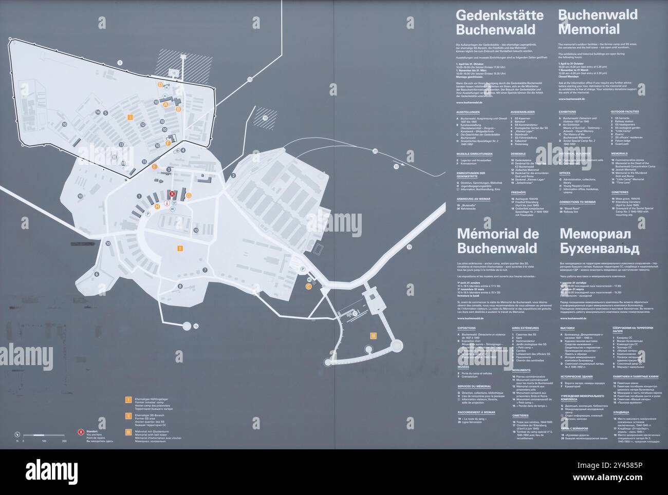 Map of Buchenwald concentration camp with memorial's outdoor facilities near Weimar, Thuringia, Germany Stock Photohttps://www.alamy.com/image-license-details/?v=1https://www.alamy.com/map-of-buchenwald-concentration-camp-with-memorials-outdoor-facilities-near-weimar-thuringia-germany-image622148066.html
RF2Y4585P–Map of Buchenwald concentration camp with memorial's outdoor facilities near Weimar, Thuringia, Germany
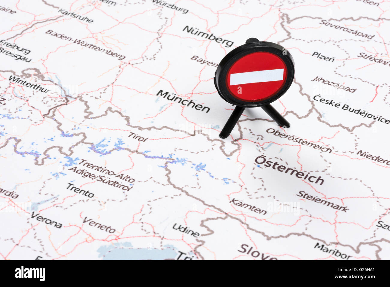 EU Migrant Crisis Austrian German Border No Entry Sign Stock Photohttps://www.alamy.com/image-license-details/?v=1https://www.alamy.com/stock-photo-eu-migrant-crisis-austrian-german-border-no-entry-sign-104636841.html
RMG26HA1–EU Migrant Crisis Austrian German Border No Entry Sign
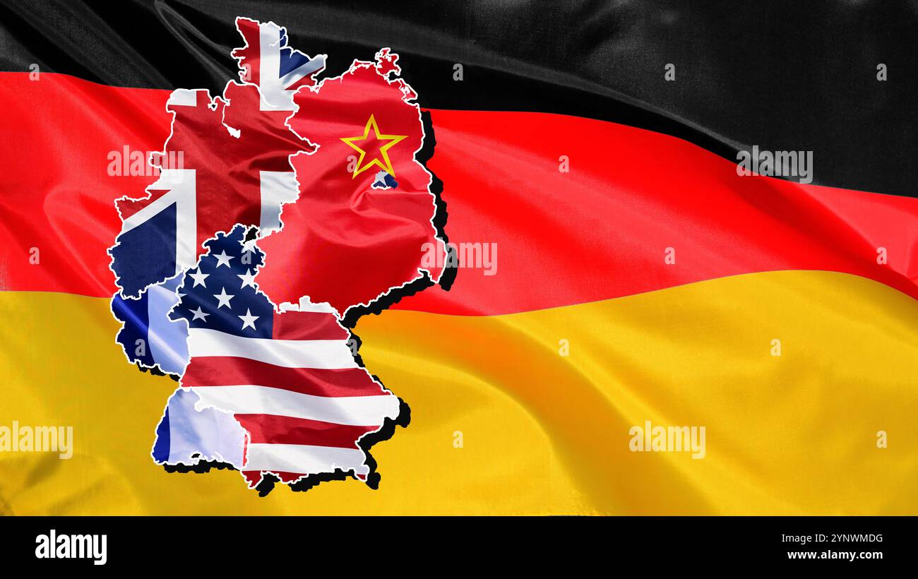 Outline map of Germany, filled in with the national flags of the occupation zones after the Second World War Stock Photohttps://www.alamy.com/image-license-details/?v=1https://www.alamy.com/outline-map-of-germany-filled-in-with-the-national-flags-of-the-occupation-zones-after-the-second-world-war-image633045884.html
RF2YNWMDG–Outline map of Germany, filled in with the national flags of the occupation zones after the Second World War
 Berlin, Germany, visitors to the Youth Fair YOU in front of a lighted map Stock Photohttps://www.alamy.com/image-license-details/?v=1https://www.alamy.com/berlin-germany-visitors-to-the-youth-fair-you-in-front-of-a-lighted-image66726595.html
RMDTFJCK–Berlin, Germany, visitors to the Youth Fair YOU in front of a lighted map
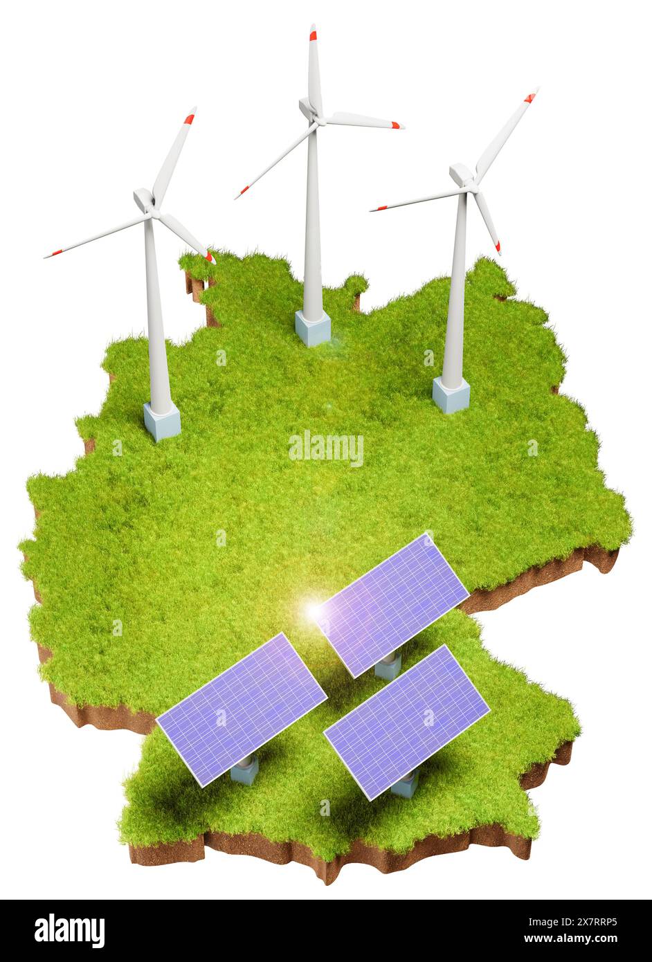 Renewable Energy with solar panels and wind turbines in Germany concept. Grass area with soil below in the form of Germany with added solar panels and Stock Photohttps://www.alamy.com/image-license-details/?v=1https://www.alamy.com/renewable-energy-with-solar-panels-and-wind-turbines-in-germany-concept-grass-area-with-soil-below-in-the-form-of-germany-with-added-solar-panels-and-image607189021.html
RF2X7RRP5–Renewable Energy with solar panels and wind turbines in Germany concept. Grass area with soil below in the form of Germany with added solar panels and
 Simple overview map of North Rhine-Westphalia, Germany Stock Photohttps://www.alamy.com/image-license-details/?v=1https://www.alamy.com/simple-overview-map-of-north-rhine-westphalia-germany-image606410853.html
RF2X6GB6D–Simple overview map of North Rhine-Westphalia, Germany
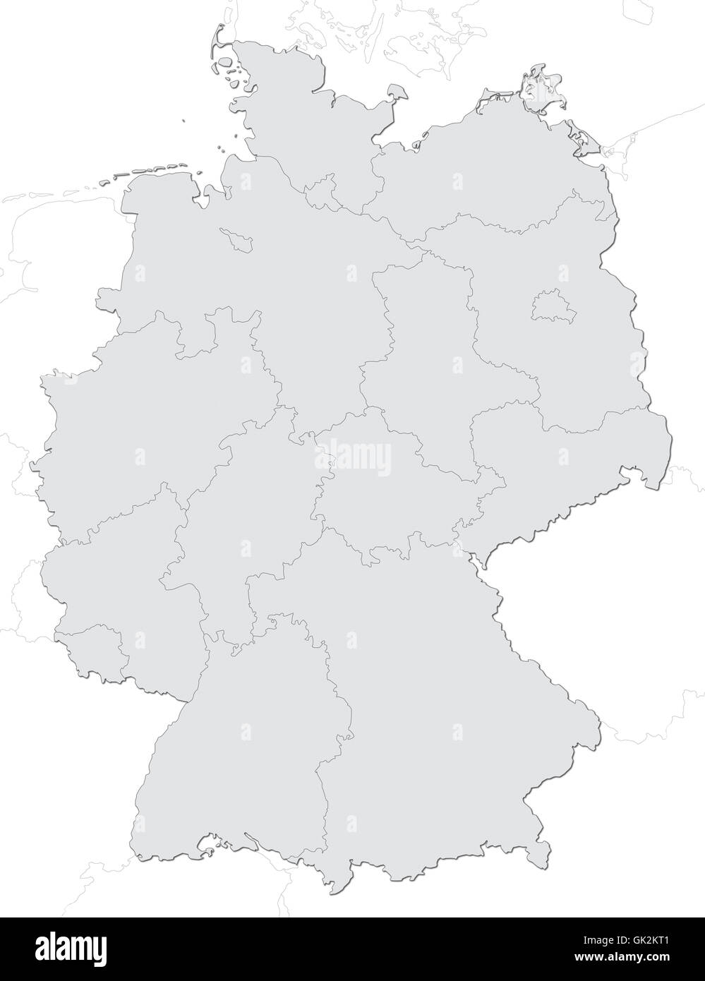 germany map Stock Photohttps://www.alamy.com/image-license-details/?v=1https://www.alamy.com/stock-photo-germany-map-115000145.html
RFGK2KT1–germany map
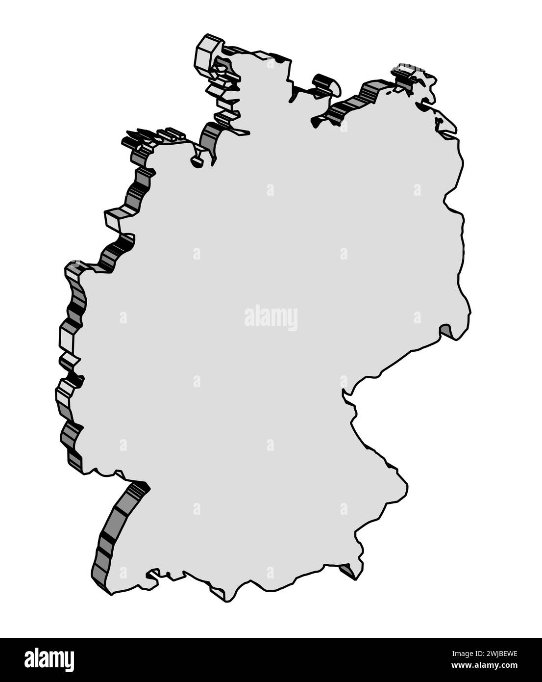 Outline silhouette 3D map of Germany over a white background Stock Photohttps://www.alamy.com/image-license-details/?v=1https://www.alamy.com/outline-silhouette-3d-map-of-germany-over-a-white-background-image596469482.html
RF2WJBEWE–Outline silhouette 3D map of Germany over a white background
 Germany map and craftsman with thumbs up. Stock Photohttps://www.alamy.com/image-license-details/?v=1https://www.alamy.com/stock-photo-germany-map-and-craftsman-with-thumbs-up-173330052.html
RFM1YT70–Germany map and craftsman with thumbs up.
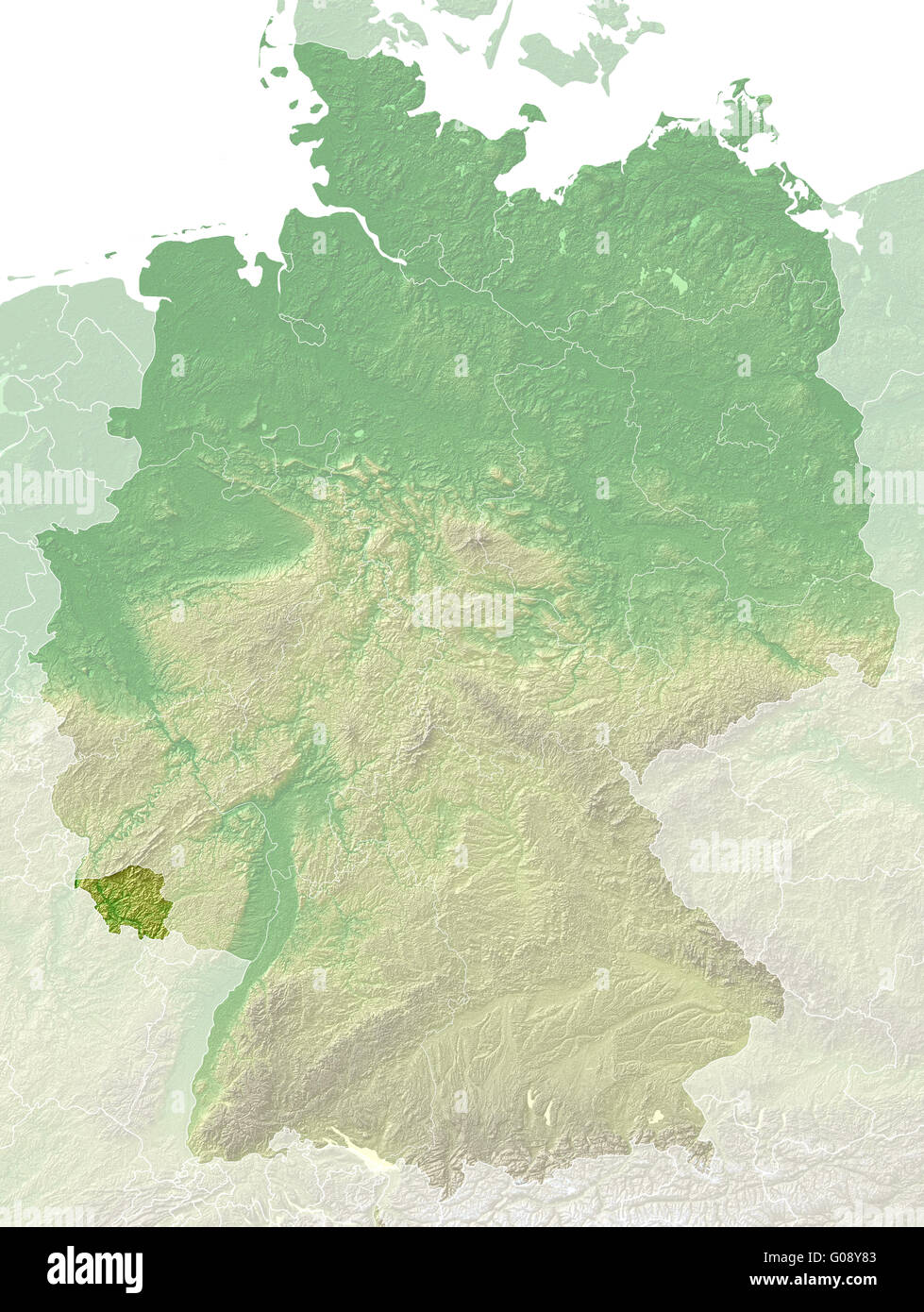 Saarland - topographical relief map Germany Stock Photohttps://www.alamy.com/image-license-details/?v=1https://www.alamy.com/stock-photo-saarland-topographical-relief-map-germany-103459219.html
RMG08Y83–Saarland - topographical relief map Germany
 Map of Germany Stock Photohttps://www.alamy.com/image-license-details/?v=1https://www.alamy.com/map-of-germany-image756784.html
RFAB8C30–Map of Germany
 Map and flag of Germany on weathered wood Stock Photohttps://www.alamy.com/image-license-details/?v=1https://www.alamy.com/map-and-flag-of-germany-on-weathered-wood-image634540935.html
RF2YT9RC7–Map and flag of Germany on weathered wood
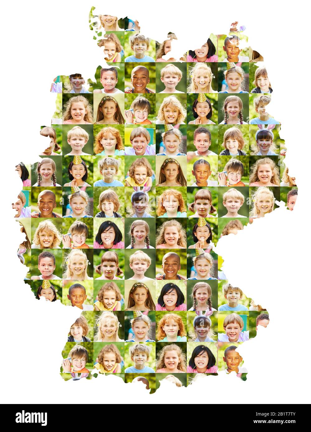 Collage of children's portraits on Germany map as a diverse concept for childhood and society Stock Photohttps://www.alamy.com/image-license-details/?v=1https://www.alamy.com/collage-of-childrens-portraits-on-germany-map-as-a-diverse-concept-for-childhood-and-society-image345355051.html
RF2B1T7TY–Collage of children's portraits on Germany map as a diverse concept for childhood and society
 Map of Germany, symbolic image for Triple A ratings by rating agencies Stock Photohttps://www.alamy.com/image-license-details/?v=1https://www.alamy.com/stock-photo-map-of-germany-symbolic-image-for-triple-a-ratings-by-rating-agencies-48583943.html
RFCR158R–Map of Germany, symbolic image for Triple A ratings by rating agencies
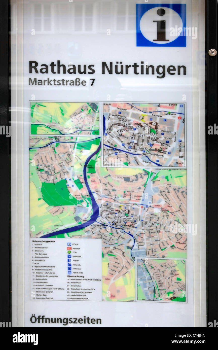 Street map for tourists in Nurtingen Germany Stock Photohttps://www.alamy.com/image-license-details/?v=1https://www.alamy.com/stock-photo-street-map-for-tourists-in-nurtingen-germany-51118865.html
RMCY4JHN–Street map for tourists in Nurtingen Germany
 Unusual map of the Germany, map from cracked plaster Stock Photohttps://www.alamy.com/image-license-details/?v=1https://www.alamy.com/unusual-map-of-the-germany-map-from-cracked-plaster-image365675577.html
RF2C6WXX1–Unusual map of the Germany, map from cracked plaster
 Push pin on political map in Berlin, Germany Stock Photohttps://www.alamy.com/image-license-details/?v=1https://www.alamy.com/push-pin-on-political-map-in-berlin-germany-image368577300.html
RF2CBJ430–Push pin on political map in Berlin, Germany
 Wine-producing countries - maps from wine corks. Map of Germany on black background. Clipping path included. Stock Photohttps://www.alamy.com/image-license-details/?v=1https://www.alamy.com/wine-producing-countries-maps-from-wine-corks-map-of-germany-on-black-image152856619.html
RFJTK64Y–Wine-producing countries - maps from wine corks. Map of Germany on black background. Clipping path included.
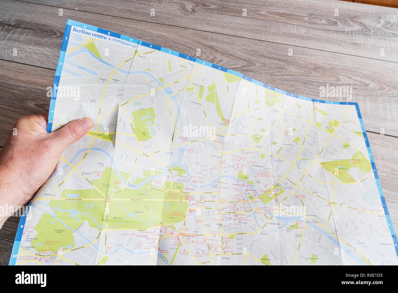 the consultation of the city map of Berlin Stock Photohttps://www.alamy.com/image-license-details/?v=1https://www.alamy.com/the-consultation-of-the-city-map-of-berlin-image240024319.html
RMRXE1D3–the consultation of the city map of Berlin
 Stand with map of Buchenwald concentration camp with memorial's outdoor facilities near Weimar, Thuringia, Germany Stock Photohttps://www.alamy.com/image-license-details/?v=1https://www.alamy.com/stand-with-map-of-buchenwald-concentration-camp-with-memorials-outdoor-facilities-near-weimar-thuringia-germany-image622148064.html
RF2Y4585M–Stand with map of Buchenwald concentration camp with memorial's outdoor facilities near Weimar, Thuringia, Germany
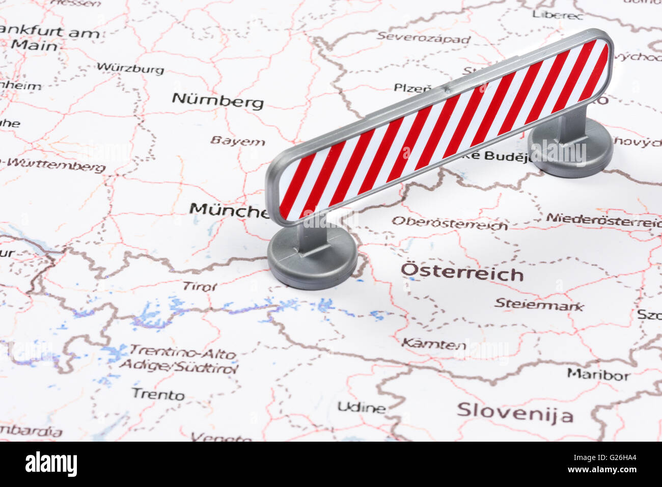 EU Migrant Crisis Austrian German Border Red Blockade Stock Photohttps://www.alamy.com/image-license-details/?v=1https://www.alamy.com/stock-photo-eu-migrant-crisis-austrian-german-border-red-blockade-104636844.html
RMG26HA4–EU Migrant Crisis Austrian German Border Red Blockade
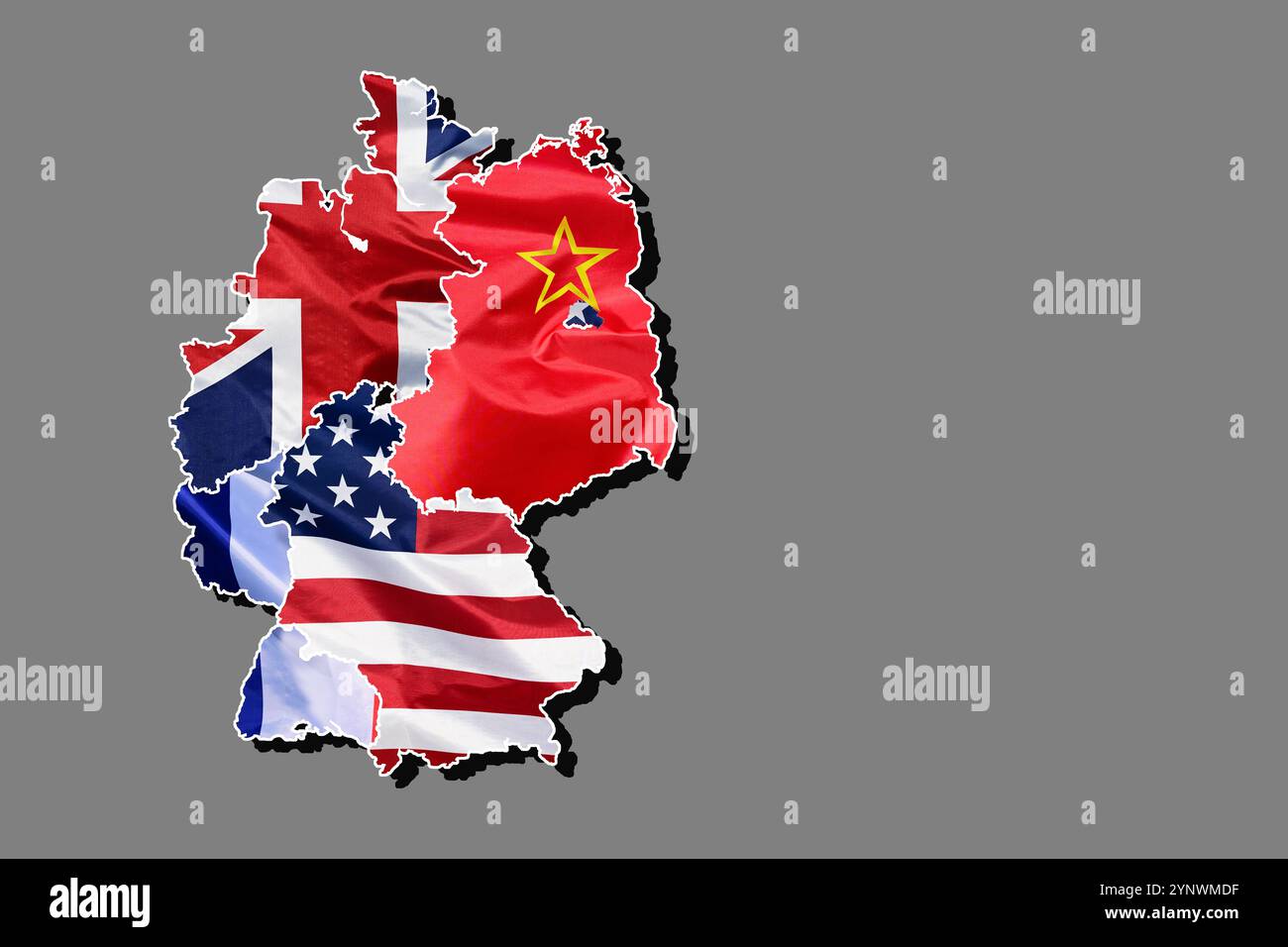 Outline map of Germany, filled in with the national flags of the occupation zones after the Second World War Stock Photohttps://www.alamy.com/image-license-details/?v=1https://www.alamy.com/outline-map-of-germany-filled-in-with-the-national-flags-of-the-occupation-zones-after-the-second-world-war-image633045883.html
RF2YNWMDF–Outline map of Germany, filled in with the national flags of the occupation zones after the Second World War
 Berlin, Germany, visitors to the Youth Fair YOU in front of a lighted map Stock Photohttps://www.alamy.com/image-license-details/?v=1https://www.alamy.com/berlin-germany-visitors-to-the-youth-fair-you-in-front-of-a-lighted-image66726591.html
RMDTFJCF–Berlin, Germany, visitors to the Youth Fair YOU in front of a lighted map
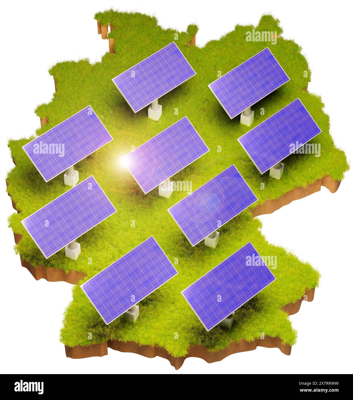 Renewable Energy with solar panels in Germany concept. Grass area with soil below in the form of Germany with added solar panels. Lens flare. White ba Stock Photohttps://www.alamy.com/image-license-details/?v=1https://www.alamy.com/renewable-energy-with-solar-panels-in-germany-concept-grass-area-with-soil-below-in-the-form-of-germany-with-added-solar-panels-lens-flare-white-ba-image607189125.html
RF2X7RRWW–Renewable Energy with solar panels in Germany concept. Grass area with soil below in the form of Germany with added solar panels. Lens flare. White ba
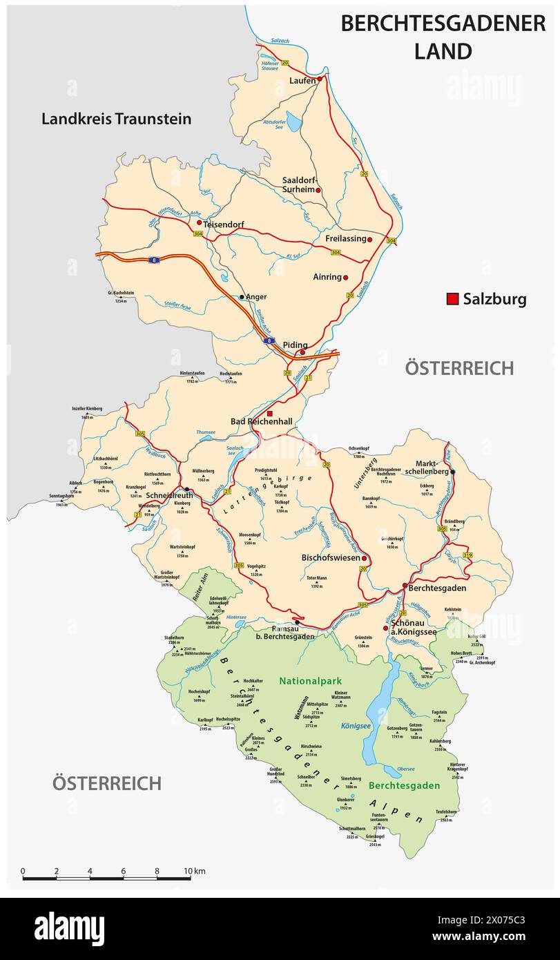 Road map of the Berchtesgadener Land district, Bavaria, Germany Stock Photohttps://www.alamy.com/image-license-details/?v=1https://www.alamy.com/road-map-of-the-berchtesgadener-land-district-bavaria-germany-image602520803.html
RF2X075C3–Road map of the Berchtesgadener Land district, Bavaria, Germany
 map of germany - saarland Stock Photohttps://www.alamy.com/image-license-details/?v=1https://www.alamy.com/stock-photo-map-of-germany-saarland-124624743.html
RFH6N43K–map of germany - saarland
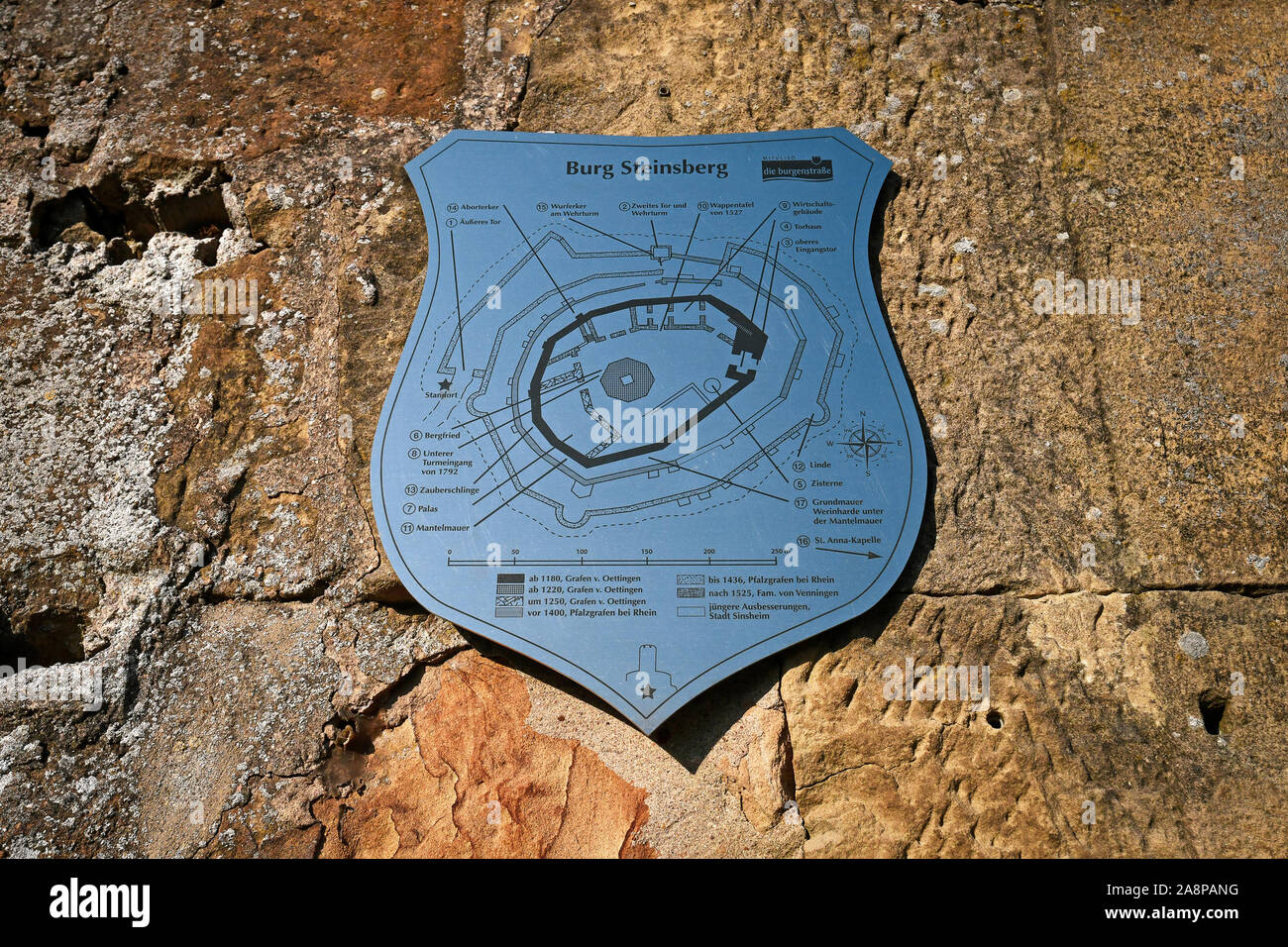 Sinsheim, Germany - November 2019: Metallic sign in shape of coat of arms showing layout of medivial German fortress called 'Burg Steinsberg' Stock Photohttps://www.alamy.com/image-license-details/?v=1https://www.alamy.com/sinsheim-germany-november-2019-metallic-sign-in-shape-of-coat-of-arms-showing-layout-of-medivial-german-fortress-called-burg-steinsberg-image332405628.html
RF2A8PANG–Sinsheim, Germany - November 2019: Metallic sign in shape of coat of arms showing layout of medivial German fortress called 'Burg Steinsberg'
 Germany map is shown by craftsman concept. Stock Photohttps://www.alamy.com/image-license-details/?v=1https://www.alamy.com/stock-image-germany-map-is-shown-by-craftsman-concept-162765651.html
RFKCPH6Y–Germany map is shown by craftsman concept.
 Saarland - topographical relief map Germany Stock Photohttps://www.alamy.com/image-license-details/?v=1https://www.alamy.com/stock-photo-saarland-topographical-relief-map-germany-103459230.html
RMG08Y8E–Saarland - topographical relief map Germany
 Map of Germany Stock Photohttps://www.alamy.com/image-license-details/?v=1https://www.alamy.com/map-of-germany-image756681.html
RFAB8BC9–Map of Germany
 Map of Germany on weathered wood Stock Photohttps://www.alamy.com/image-license-details/?v=1https://www.alamy.com/map-of-germany-on-weathered-wood-image634541260.html
RF2YT9RRT–Map of Germany on weathered wood
 Portraits of people of different ages on Germany map as a society concept Stock Photohttps://www.alamy.com/image-license-details/?v=1https://www.alamy.com/portraits-of-people-of-different-ages-on-germany-map-as-a-society-concept-image456577604.html
RF2HEPWB0–Portraits of people of different ages on Germany map as a society concept
 City Fürth map with streets rivers and lakes germany Stock Photohttps://www.alamy.com/image-license-details/?v=1https://www.alamy.com/city-frth-map-with-streets-rivers-and-lakes-germany-image554879035.html
RF2R6MWTB–City Fürth map with streets rivers and lakes germany
 Germany map drawn on chalkboard Stock Photohttps://www.alamy.com/image-license-details/?v=1https://www.alamy.com/stock-photo-germany-map-drawn-on-chalkboard-93067889.html
RFFBBH15–Germany map drawn on chalkboard
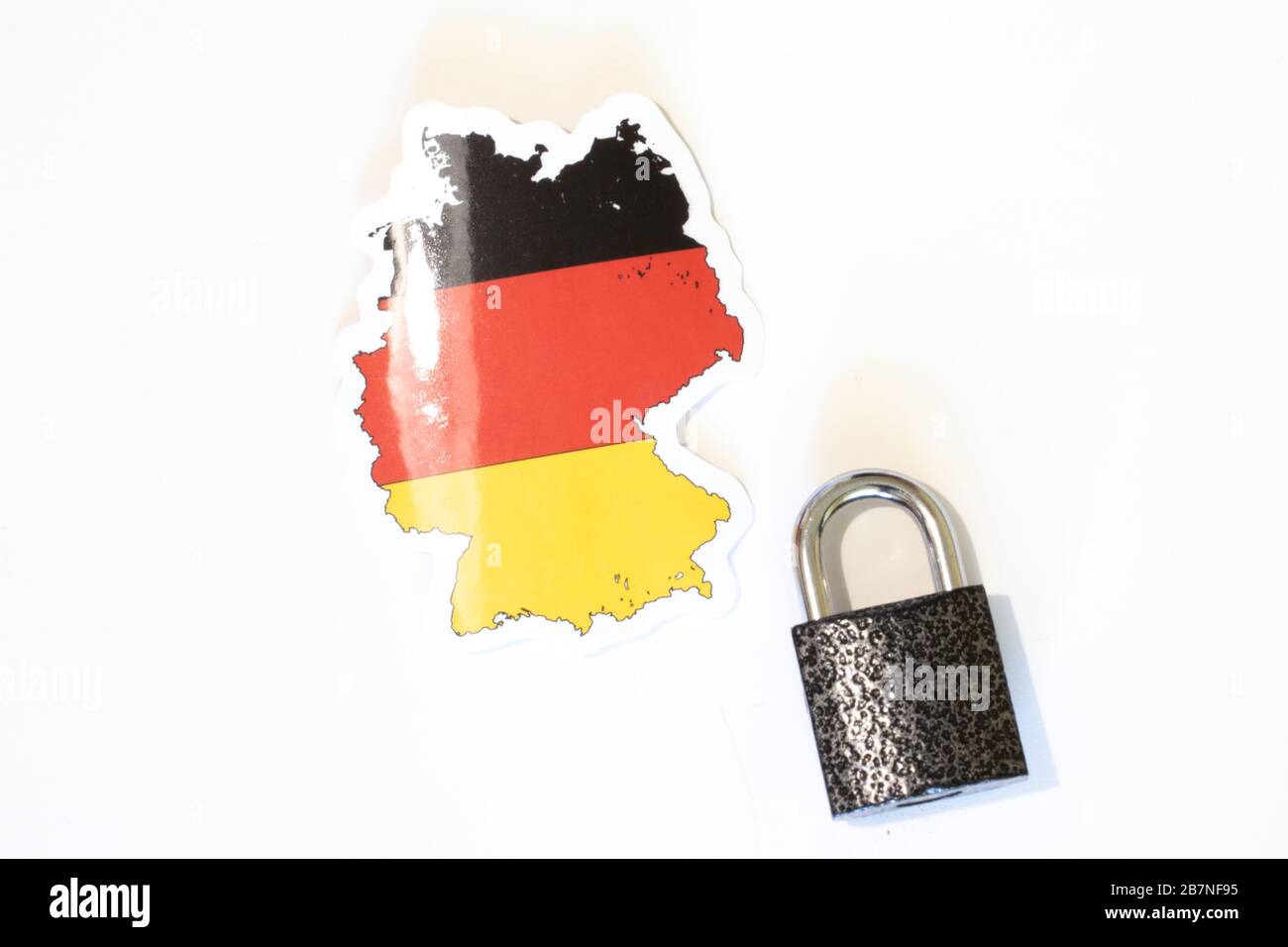 Germany national flag with outline on a white background with a closed lock top view. The concept of closing the borders of the country. Country Stock Photohttps://www.alamy.com/image-license-details/?v=1https://www.alamy.com/germany-national-flag-with-outline-on-a-white-background-with-a-closed-lock-top-view-the-concept-of-closing-the-borders-of-the-country-country-image348982961.html
RF2B7NF95–Germany national flag with outline on a white background with a closed lock top view. The concept of closing the borders of the country. Country
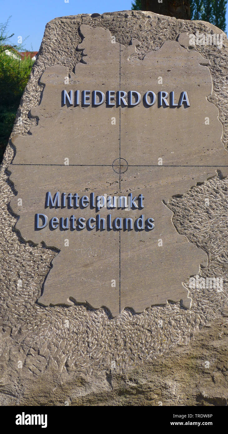 the Middle of Germany, Germany, Thueringen Stock Photohttps://www.alamy.com/image-license-details/?v=1https://www.alamy.com/the-middle-of-germany-germany-thueringen-image255387462.html
RMTRDW8P–the Middle of Germany, Germany, Thueringen
 A Germany map on white background with clipping path Stock Photohttps://www.alamy.com/image-license-details/?v=1https://www.alamy.com/a-germany-map-on-white-background-with-clipping-path-image352538779.html
RF2BDFEPK–A Germany map on white background with clipping path
 The world's oldest city map is prepared for three-dimensional digitalization with a special scanner at the Friedrich Schiller University of Jena, Germany, 01 December 2009. The tablet is approximately 3500 years old and shows the outline of the ancient Mesopotamian city of Nippur, today's Iraq. About 3300 clay tablets and other similar objects from the Hilprecht collection of the ' Stock Photohttps://www.alamy.com/image-license-details/?v=1https://www.alamy.com/stock-photo-the-worlds-oldest-city-map-is-prepared-for-three-dimensional-digitalization-54637725.html
RMD4TXY9–The world's oldest city map is prepared for three-dimensional digitalization with a special scanner at the Friedrich Schiller University of Jena, Germany, 01 December 2009. The tablet is approximately 3500 years old and shows the outline of the ancient Mesopotamian city of Nippur, today's Iraq. About 3300 clay tablets and other similar objects from the Hilprecht collection of the '
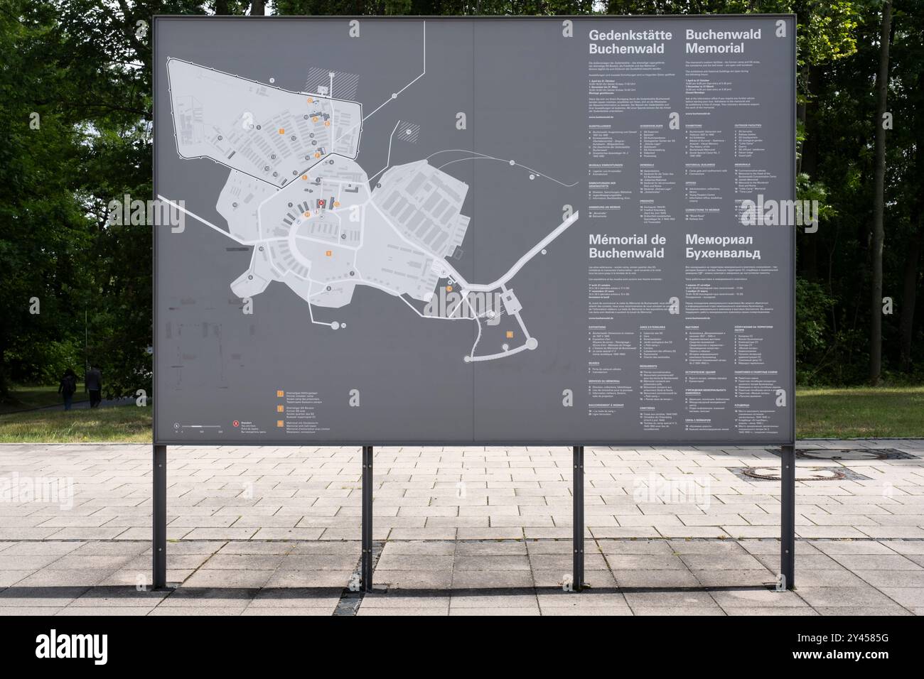 Stand with map of Buchenwald concentration camp with memorial's outdoor facilities near Weimar, Thuringia, Germany Stock Photohttps://www.alamy.com/image-license-details/?v=1https://www.alamy.com/stand-with-map-of-buchenwald-concentration-camp-with-memorials-outdoor-facilities-near-weimar-thuringia-germany-image622148060.html
RF2Y4585G–Stand with map of Buchenwald concentration camp with memorial's outdoor facilities near Weimar, Thuringia, Germany
 Map of the Berlin Wall dividing East from West Stock Photohttps://www.alamy.com/image-license-details/?v=1https://www.alamy.com/stock-photo-map-of-the-berlin-wall-dividing-east-from-west-50747118.html
RMCXFMD2–Map of the Berlin Wall dividing East from West
 outline of Germany with national flag Stock Photohttps://www.alamy.com/image-license-details/?v=1https://www.alamy.com/outline-of-germany-with-national-flag-image597334483.html
RF2WKPX6B–outline of Germany with national flag
 Berlin, Germany, visitors to the Youth Fair YOU in front of a lighted map Stock Photohttps://www.alamy.com/image-license-details/?v=1https://www.alamy.com/berlin-germany-visitors-to-the-youth-fair-you-in-front-of-a-lighted-image66727145.html
RMDTFK49–Berlin, Germany, visitors to the Youth Fair YOU in front of a lighted map
 Flag illustration made with pen - Germany Stock Photohttps://www.alamy.com/image-license-details/?v=1https://www.alamy.com/stock-photo-flag-illustration-made-with-pen-germany-89619763.html
RFF5PEWR–Flag illustration made with pen - Germany
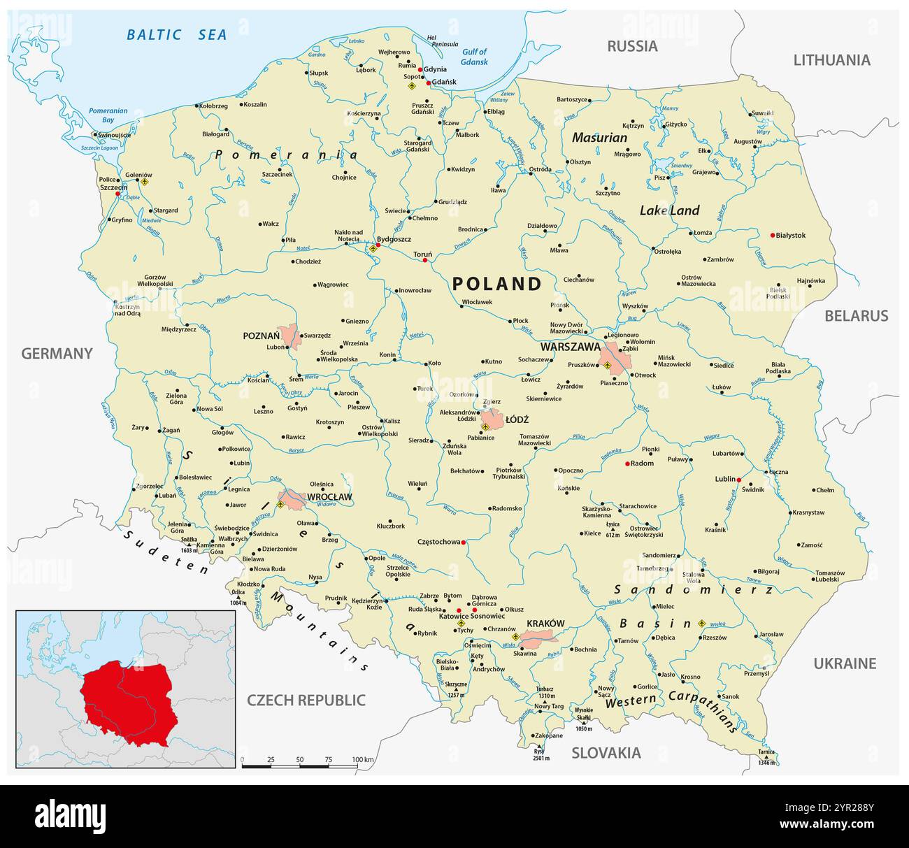 vector map of the Republic of Poland Stock Photohttps://www.alamy.com/image-license-details/?v=1https://www.alamy.com/vector-map-of-the-republic-of-poland-image633760763.html
RF2YR288Y–vector map of the Republic of Poland
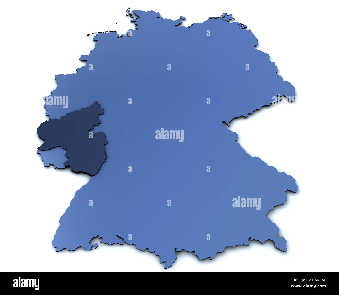 map of germany - rheinland pfalz Stock Photohttps://www.alamy.com/image-license-details/?v=1https://www.alamy.com/stock-photo-map-of-germany-rheinland-pfalz-124633558.html
RFH6NFAE–map of germany - rheinland pfalz
 contour of the Germany built of small red hearts on a white background Stock Photohttps://www.alamy.com/image-license-details/?v=1https://www.alamy.com/stock-photo-contour-of-the-germany-built-of-small-red-hearts-on-a-white-background-93065897.html
RFFBBEE1–contour of the Germany built of small red hearts on a white background
 Germany map touchscreen is operated by businessmen. Stock Photohttps://www.alamy.com/image-license-details/?v=1https://www.alamy.com/stock-image-germany-map-touchscreen-is-operated-by-businessmen-161232454.html
RFKA8NHX–Germany map touchscreen is operated by businessmen.
 North Rhine-Westphalia - topographical relief map Stock Photohttps://www.alamy.com/image-license-details/?v=1https://www.alamy.com/stock-photo-north-rhine-westphalia-topographical-relief-map-103459229.html
RMG08Y8D–North Rhine-Westphalia - topographical relief map
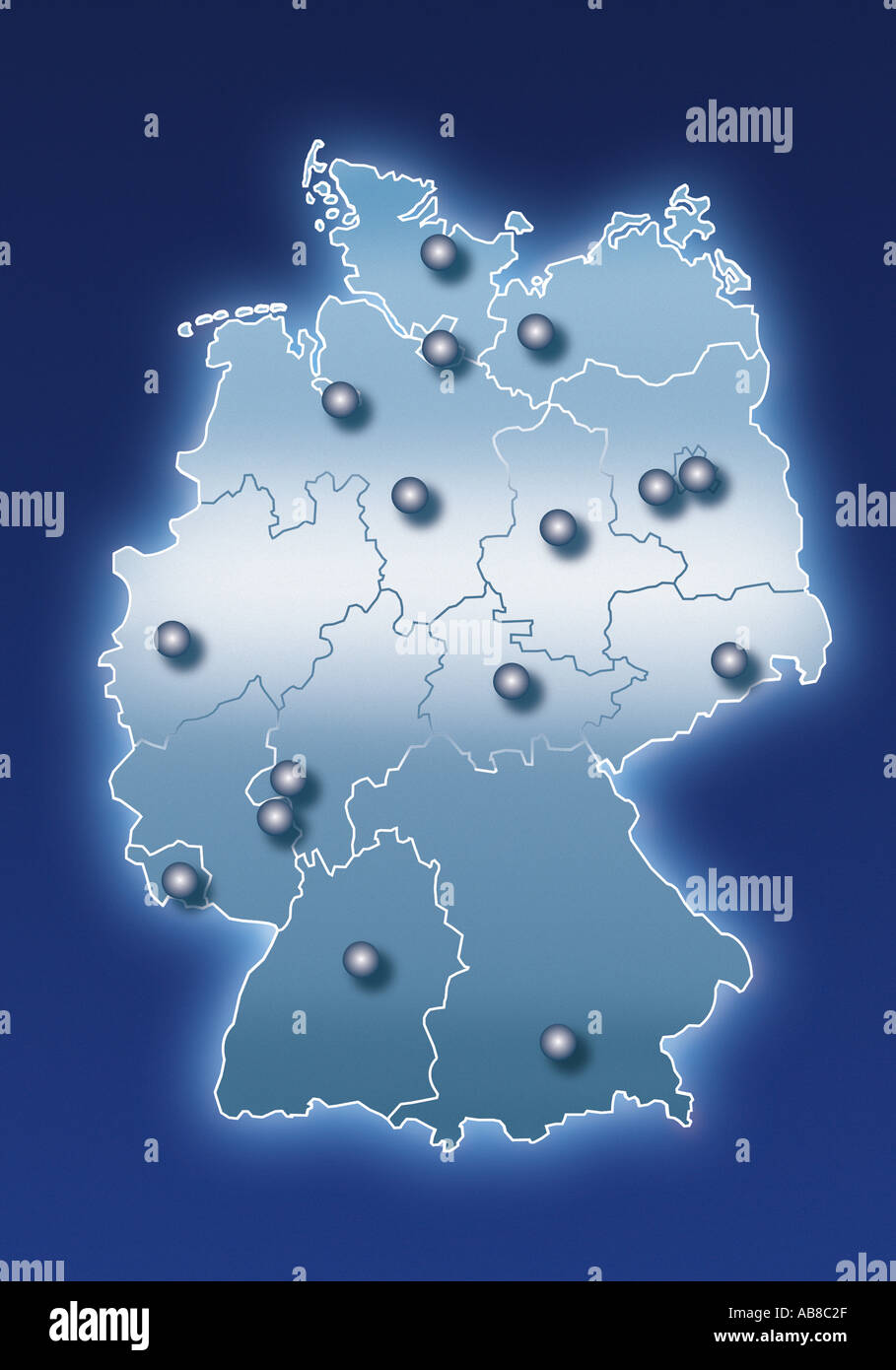 Map of Germany Stock Photohttps://www.alamy.com/image-license-details/?v=1https://www.alamy.com/map-of-germany-image756783.html
RFAB8C2F–Map of Germany
 Map and flag of Germany on weathered concrete Stock Photohttps://www.alamy.com/image-license-details/?v=1https://www.alamy.com/map-and-flag-of-germany-on-weathered-concrete-image634540223.html
RF2YT9PER–Map and flag of Germany on weathered concrete
 Employee portraits from different professions on Germany map as career concept Stock Photohttps://www.alamy.com/image-license-details/?v=1https://www.alamy.com/employee-portraits-from-different-professions-on-germany-map-as-career-concept-image471369766.html
RF2JATMXE–Employee portraits from different professions on Germany map as career concept
 City Düsseldorf map with streets rivers and lakes germany Stock Photohttps://www.alamy.com/image-license-details/?v=1https://www.alamy.com/city-dsseldorf-map-with-streets-rivers-and-lakes-germany-image554878969.html
RF2R6MWP1–City Düsseldorf map with streets rivers and lakes germany
 Sign of the Unesco World Heritage area of the Waddenzee (Wadden Sea) in the north of the Netherlands and northwest Germany Stock Photohttps://www.alamy.com/image-license-details/?v=1https://www.alamy.com/sign-of-the-unesco-world-heritage-area-of-the-waddenzee-wadden-sea-in-the-north-of-the-netherlands-and-northwest-germany-image550006253.html
RF2PXPXGD–Sign of the Unesco World Heritage area of the Waddenzee (Wadden Sea) in the north of the Netherlands and northwest Germany
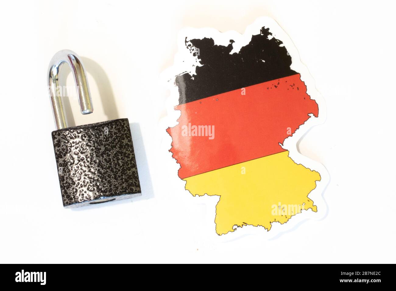 Germany national flag with outline on white background with open lock top view. The concept of opening the borders of the country Stock Photohttps://www.alamy.com/image-license-details/?v=1https://www.alamy.com/germany-national-flag-with-outline-on-white-background-with-open-lock-top-view-the-concept-of-opening-the-borders-of-the-country-image348981988.html
RF2B7NE2C–Germany national flag with outline on white background with open lock top view. The concept of opening the borders of the country
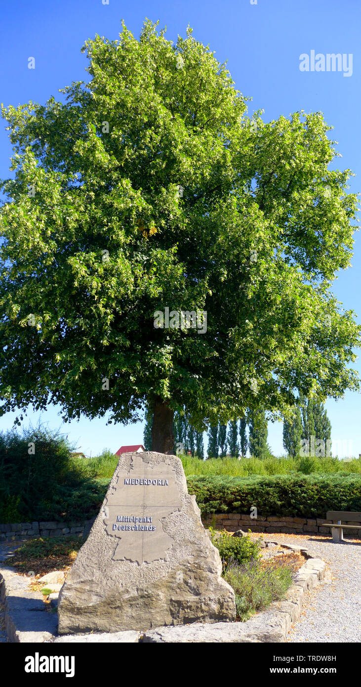 the Middle of Germany, Germany, Thueringen Stock Photohttps://www.alamy.com/image-license-details/?v=1https://www.alamy.com/the-middle-of-germany-germany-thueringen-image255387457.html
RMTRDW8H–the Middle of Germany, Germany, Thueringen
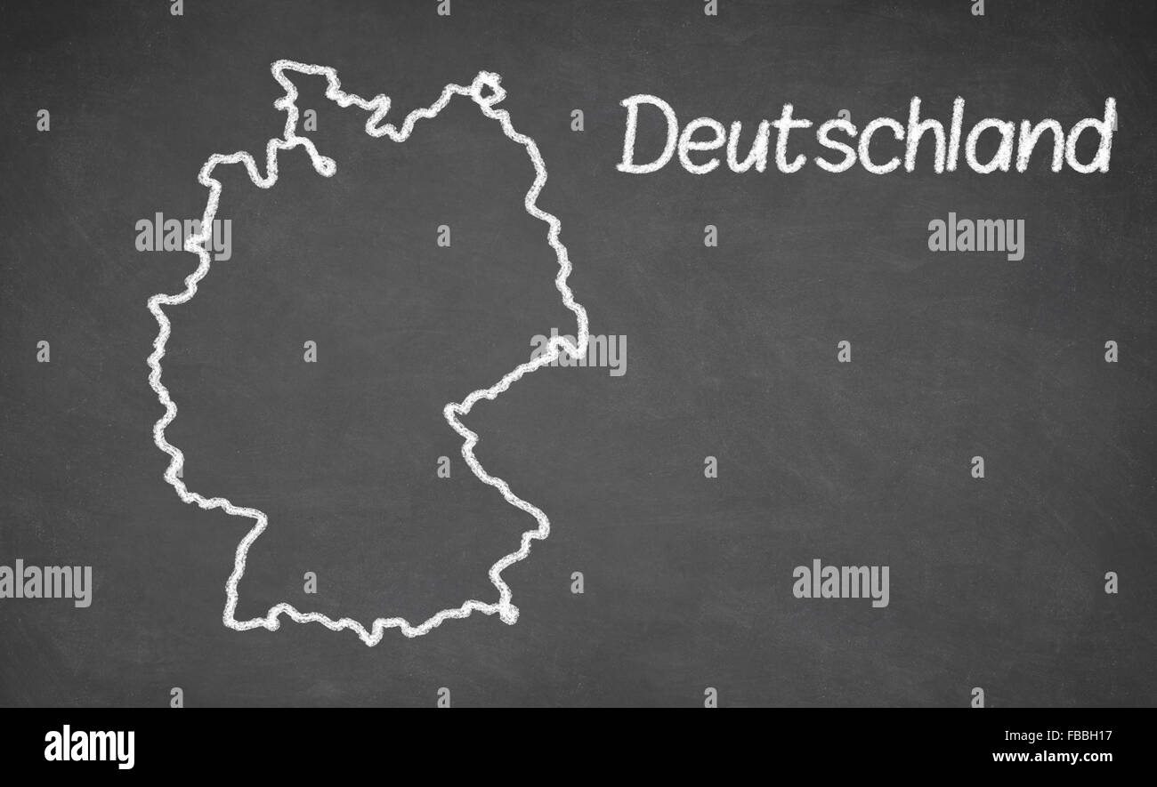 Deutschland map drawn on chalkboard Stock Photohttps://www.alamy.com/image-license-details/?v=1https://www.alamy.com/stock-photo-deutschland-map-drawn-on-chalkboard-93067891.html
RFFBBH17–Deutschland map drawn on chalkboard
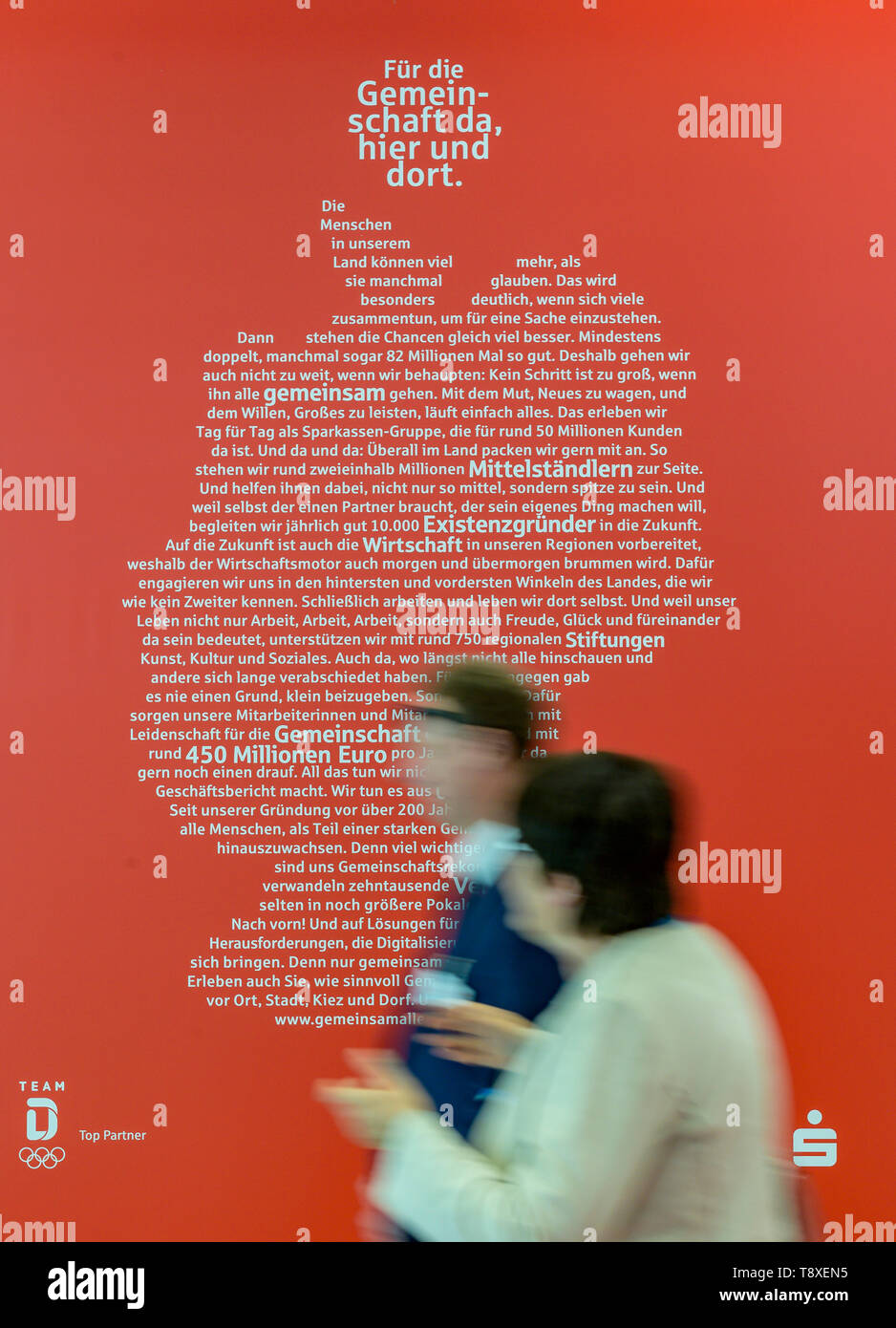 Hamburg, Germany. 15th May, 2019. Visitors to the 26th German Savings Banks Day walk along the Sparkasse in front of an advertising poster showing the outline of the map of Germany. Credit: Axel Heimken/dpa/Alamy Live News Stock Photohttps://www.alamy.com/image-license-details/?v=1https://www.alamy.com/hamburg-germany-15th-may-2019-visitors-to-the-26th-german-savings-banks-day-walk-along-the-sparkasse-in-front-of-an-advertising-poster-showing-the-outline-of-the-map-of-germany-credit-axel-heimkendpaalamy-live-news-image246444721.html
RMT8XEN5–Hamburg, Germany. 15th May, 2019. Visitors to the 26th German Savings Banks Day walk along the Sparkasse in front of an advertising poster showing the outline of the map of Germany. Credit: Axel Heimken/dpa/Alamy Live News
 Germany map with color of their flag, 3d rendering Stock Photohttps://www.alamy.com/image-license-details/?v=1https://www.alamy.com/germany-map-with-color-of-their-flag-3d-rendering-image385832005.html
RF2DBM4JD–Germany map with color of their flag, 3d rendering
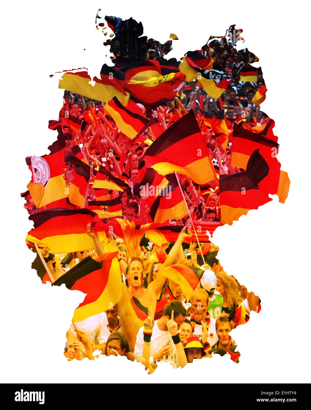 Symbolbild: Bundesrepublik Deutschland: Laenderumriss mit Flagge und jubelnden Fussballfans/ symbolic image: Federal Republic of Stock Photohttps://www.alamy.com/image-license-details/?v=1https://www.alamy.com/stock-photo-symbolbild-bundesrepublik-deutschland-laenderumriss-mit-flagge-und-85829944.html
RMEYHTY4–Symbolbild: Bundesrepublik Deutschland: Laenderumriss mit Flagge und jubelnden Fussballfans/ symbolic image: Federal Republic of
 outline of Germany with national flag Stock Photohttps://www.alamy.com/image-license-details/?v=1https://www.alamy.com/outline-of-germany-with-national-flag-image597334482.html
RF2WKPX6A–outline of Germany with national flag
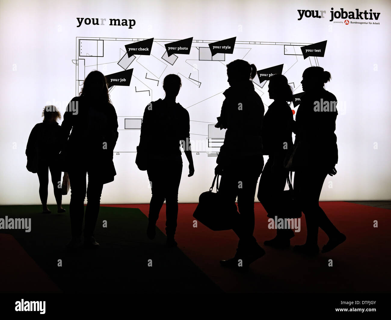 Berlin, Germany, visitors to the Youth Fair YOU in front of a lighted map Stock Photohttps://www.alamy.com/image-license-details/?v=1https://www.alamy.com/berlin-germany-visitors-to-the-youth-fair-you-in-front-of-a-lighted-image66726715.html
RMDTFJGY–Berlin, Germany, visitors to the Youth Fair YOU in front of a lighted map
 Germany - Old paper with handwriting, blue ink Stock Photohttps://www.alamy.com/image-license-details/?v=1https://www.alamy.com/stock-photo-germany-old-paper-with-handwriting-blue-ink-73443815.html
RFE7DJ9B–Germany - Old paper with handwriting, blue ink
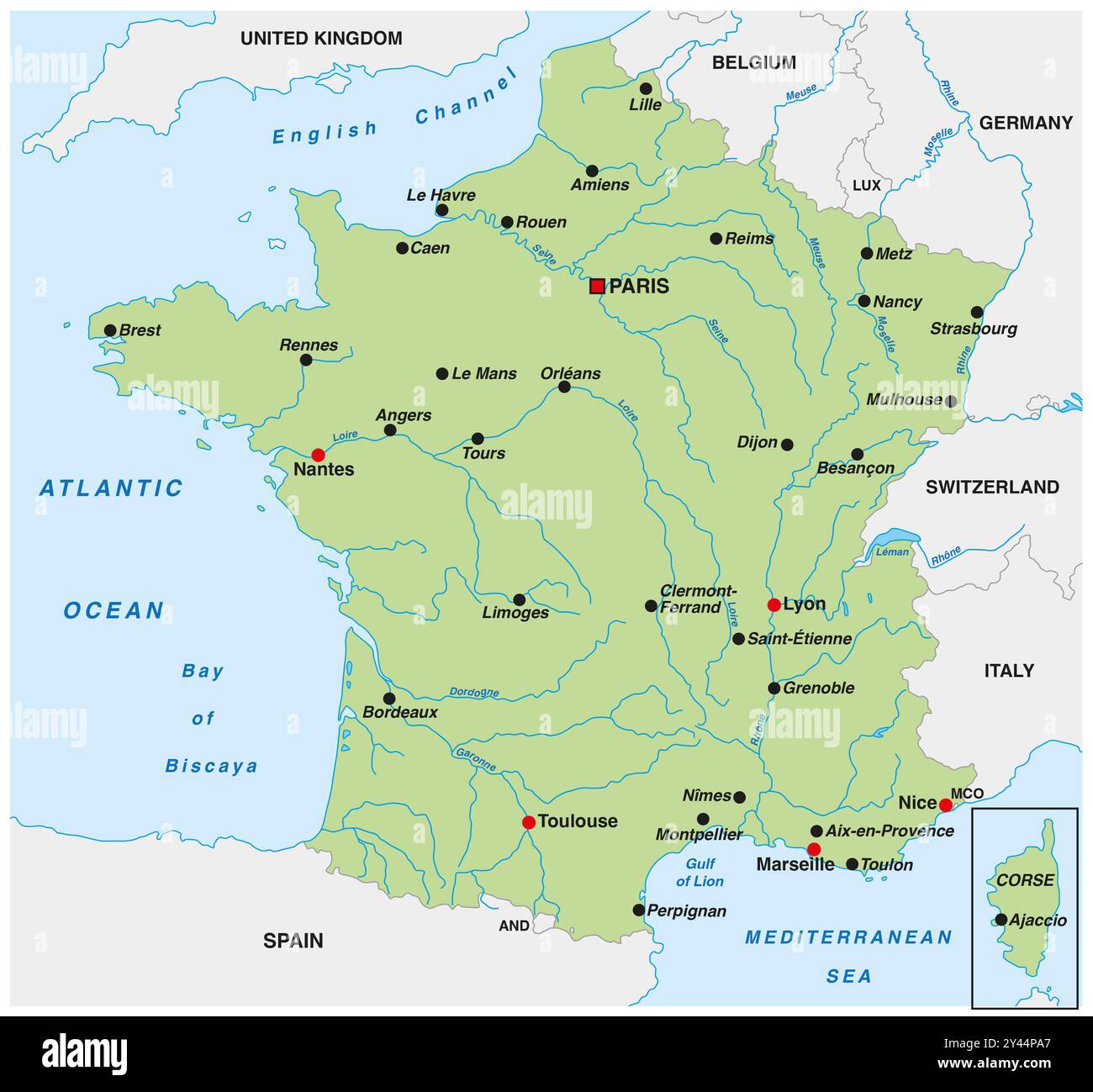 Map of France with the most important cities and rivers Stock Photohttps://www.alamy.com/image-license-details/?v=1https://www.alamy.com/map-of-france-with-the-most-important-cities-and-rivers-image622137215.html
RF2Y44PA7–Map of France with the most important cities and rivers
 windkraftrad before blue,germany map Stock Photohttps://www.alamy.com/image-license-details/?v=1https://www.alamy.com/stock-photo-windkraftrad-before-bluegermany-map-115000144.html
RFGK2KT0–windkraftrad before blue,germany map
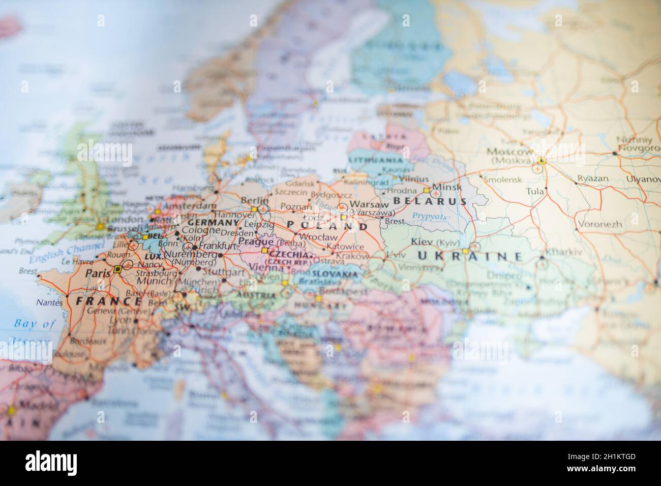 Picture of Poland, Belarus, Ukraine, Germany and France on a Blurry European Map Stock Photohttps://www.alamy.com/image-license-details/?v=1https://www.alamy.com/picture-of-poland-belarus-ukraine-germany-and-france-on-a-blurry-european-map-image448520589.html
RM2H1KTGD–Picture of Poland, Belarus, Ukraine, Germany and France on a Blurry European Map
 Germany map concept and doctor with thumbs up. Stock Photohttps://www.alamy.com/image-license-details/?v=1https://www.alamy.com/stock-photo-germany-map-concept-and-doctor-with-thumbs-up-176628956.html
RFM7A410–Germany map concept and doctor with thumbs up.
 Administrative and political vector map Grand Duchy of Luxembourg Stock Photohttps://www.alamy.com/image-license-details/?v=1https://www.alamy.com/administrative-and-political-vector-map-grand-duchy-of-luxembourg-image432686497.html
RF2G3XG15–Administrative and political vector map Grand Duchy of Luxembourg
 An abstract digital Germany map / Concept of network, internet, and global connection Stock Photohttps://www.alamy.com/image-license-details/?v=1https://www.alamy.com/an-abstract-digital-germany-map-concept-of-network-internet-and-global-connection-image455240636.html
RF2HCJ024–An abstract digital Germany map / Concept of network, internet, and global connection
 Map of Germany on texture Stock Photohttps://www.alamy.com/image-license-details/?v=1https://www.alamy.com/map-of-germany-on-texture-image634536614.html
RF2YT9HWX–Map of Germany on texture
 Portrait collage of business people on Germany map as a business and team concept Stock Photohttps://www.alamy.com/image-license-details/?v=1https://www.alamy.com/portrait-collage-of-business-people-on-germany-map-as-a-business-and-team-concept-image401553359.html
RF2E989BB–Portrait collage of business people on Germany map as a business and team concept
 Germany map, individual regions, blank Stock Photohttps://www.alamy.com/image-license-details/?v=1https://www.alamy.com/germany-map-individual-regions-blank-image450569884.html
RF2H516DG–Germany map, individual regions, blank
 Germany country outline isolated on white background Stock Photohttps://www.alamy.com/image-license-details/?v=1https://www.alamy.com/germany-country-outline-isolated-on-white-background-image470457934.html
RF2J9B5W2–Germany country outline isolated on white background
 Los Angeles, California, USA - 17 January 2020: National flag of Germany. Country outline on white background with copy space. Politics illustration Stock Photohttps://www.alamy.com/image-license-details/?v=1https://www.alamy.com/los-angeles-california-usa-17-january-2020-national-flag-of-germany-country-outline-on-white-background-with-copy-space-politics-illustration-image340398259.html
RF2ANPDCK–Los Angeles, California, USA - 17 January 2020: National flag of Germany. Country outline on white background with copy space. Politics illustration
 Outline, map of Germany Stock Photohttps://www.alamy.com/image-license-details/?v=1https://www.alamy.com/stock-photo-outline-map-of-germany-34054291.html
RFBYB8GK–Outline, map of Germany
 Map of Germany Stock Photohttps://www.alamy.com/image-license-details/?v=1https://www.alamy.com/stock-photo-map-of-germany-125245057.html
RFH7NB9N–Map of Germany
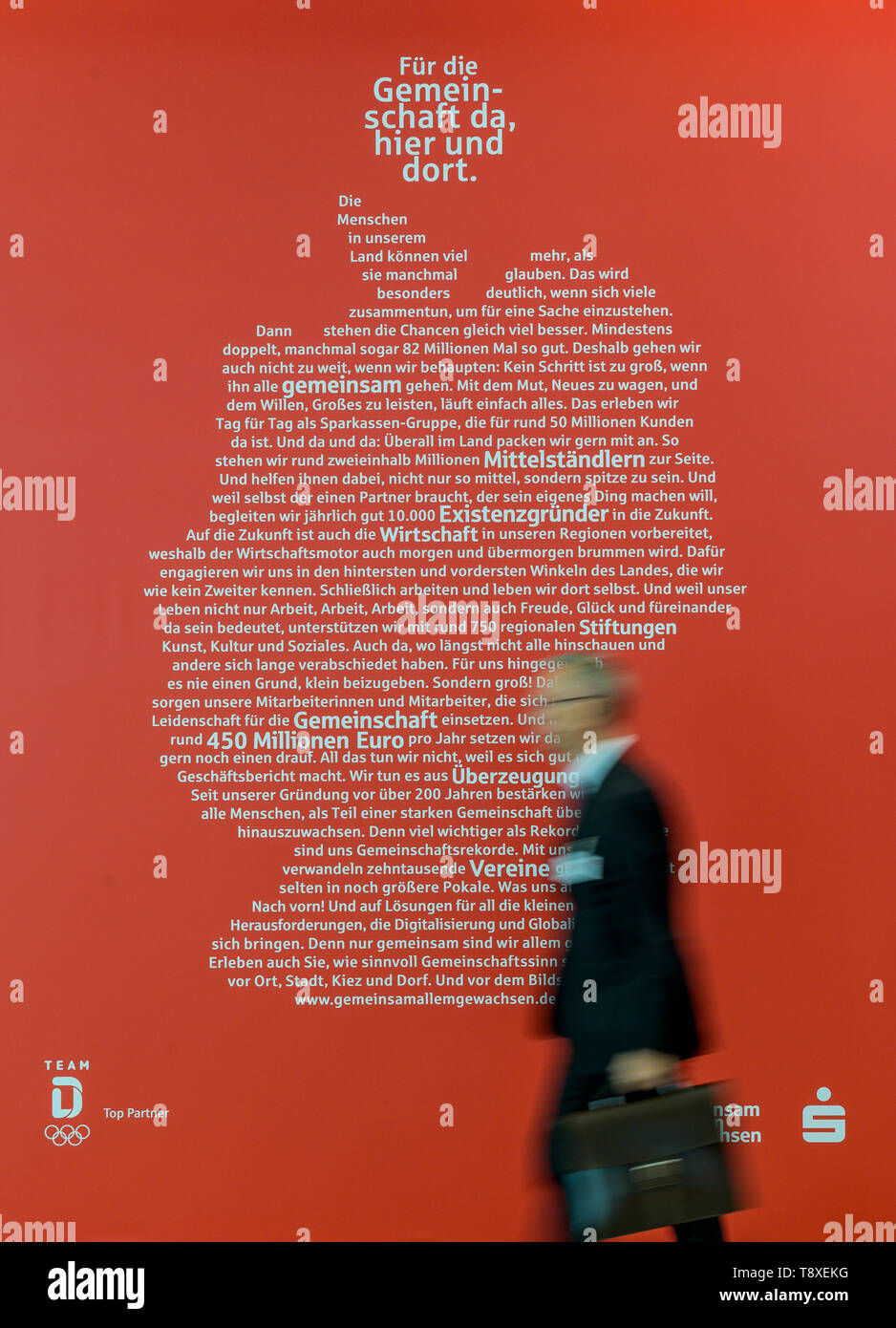 Hamburg, Germany. 15th May, 2019. A visitor of the 26th German Savings Banks Day walks along the Sparkasse in front of an advertising poster showing the outline of the map of Germany. Credit: Axel Heimken/dpa/Alamy Live News Stock Photohttps://www.alamy.com/image-license-details/?v=1https://www.alamy.com/hamburg-germany-15th-may-2019-a-visitor-of-the-26th-german-savings-banks-day-walks-along-the-sparkasse-in-front-of-an-advertising-poster-showing-the-outline-of-the-map-of-germany-credit-axel-heimkendpaalamy-live-news-image246444676.html
RMT8XEKG–Hamburg, Germany. 15th May, 2019. A visitor of the 26th German Savings Banks Day walks along the Sparkasse in front of an advertising poster showing the outline of the map of Germany. Credit: Axel Heimken/dpa/Alamy Live News
 Germany map is written by hand on blackboard. Stock Photohttps://www.alamy.com/image-license-details/?v=1https://www.alamy.com/germany-map-is-written-by-hand-on-blackboard-image385440710.html
RF2DB29FJ–Germany map is written by hand on blackboard.
 Symbolbild: Bundesrepublik Deutschland: Laenderumriss mit Flagge und jubelnden Fussballfans/ symbolic image: Federal Republic of Stock Photohttps://www.alamy.com/image-license-details/?v=1https://www.alamy.com/stock-photo-symbolbild-bundesrepublik-deutschland-laenderumriss-mit-flagge-und-85829946.html
RMEYHTY6–Symbolbild: Bundesrepublik Deutschland: Laenderumriss mit Flagge und jubelnden Fussballfans/ symbolic image: Federal Republic of
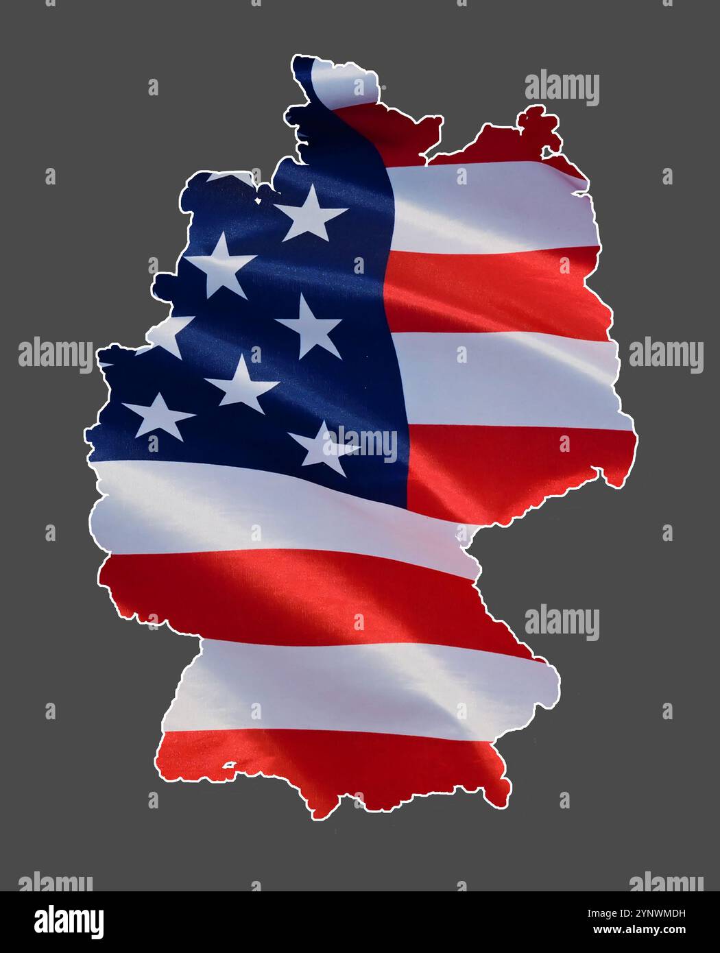 Outline map of Germany, filled in with the national flag of the United States, 51 st state of the US Stock Photohttps://www.alamy.com/image-license-details/?v=1https://www.alamy.com/outline-map-of-germany-filled-in-with-the-national-flag-of-the-united-states-51-st-state-of-the-us-image633045885.html
RF2YNWMDH–Outline map of Germany, filled in with the national flag of the United States, 51 st state of the US
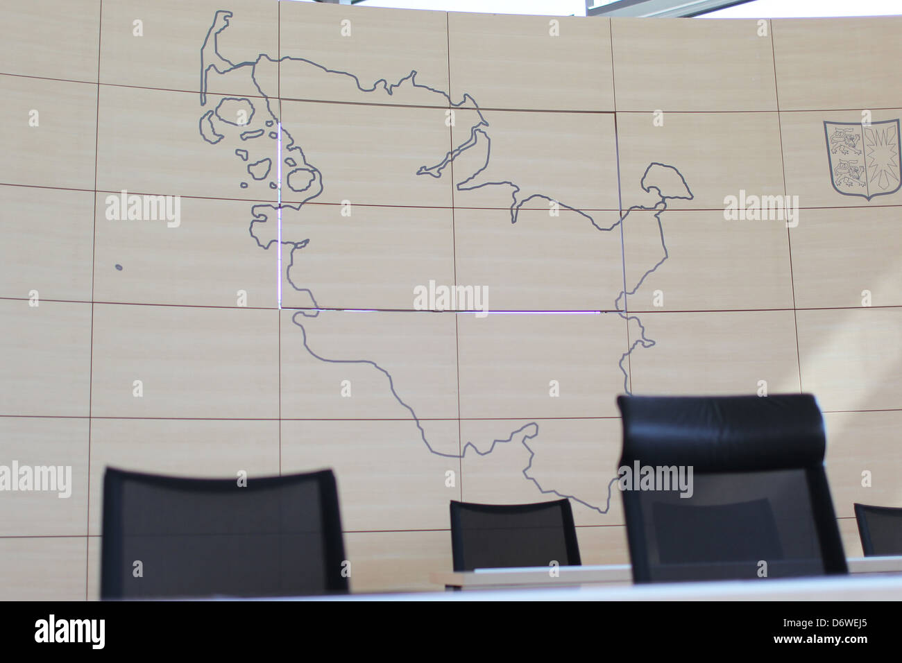 Kiel, Germany, graphic outline of the map of Schleswig-Holstein in Parliament after the court of parliament president Stock Photohttps://www.alamy.com/image-license-details/?v=1https://www.alamy.com/stock-photo-kiel-germany-graphic-outline-of-the-map-of-schleswig-holstein-in-parliament-55879325.html
RMD6WEJ5–Kiel, Germany, graphic outline of the map of Schleswig-Holstein in Parliament after the court of parliament president
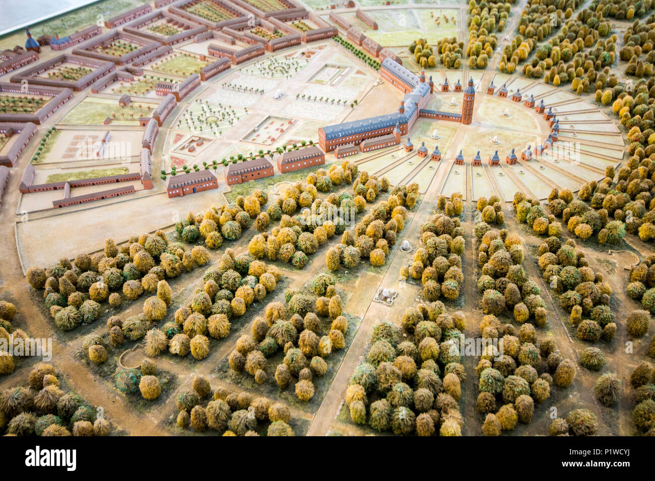 Karlsruhe, Germany. Mockup miniature of Karlsruhe Palace (Karlsruher Schloss), with the multiple streets and roads that fork from its tower Stock Photohttps://www.alamy.com/image-license-details/?v=1https://www.alamy.com/karlsruhe-germany-mockup-miniature-of-karlsruhe-palace-karlsruher-schloss-with-the-multiple-streets-and-roads-that-fork-from-its-tower-image207698054.html
RFP1WCYJ–Karlsruhe, Germany. Mockup miniature of Karlsruhe Palace (Karlsruher Schloss), with the multiple streets and roads that fork from its tower
