Below is a few of the most recently items added to the site. If you have a special interest in an area country, county it is always best to check the appointed web page
22527 Northern Hemisphere, William Faden, 1802. Price: 90.00
-
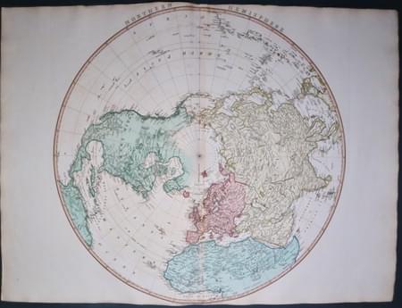
Northern Hemisphere by William Faden 1802
NORTHERN HEMISPHERE
An interesting detailed map circular map. The title appear across the top and at the base of the map is the publishers imprint dated 1802. The margins are very tight here which is quite normal with a small amount of trimming at the base. 22 1/2 inches diameter. Wide blank side margins. Original centre fold. Good heavy paper. Good clean undamaged condition. Taken from the atlas and therefore not previously sold as a single map.
From: A New General Atlas.
22528 South Hemisphere, William Faden 1802. Price: 145.00
-
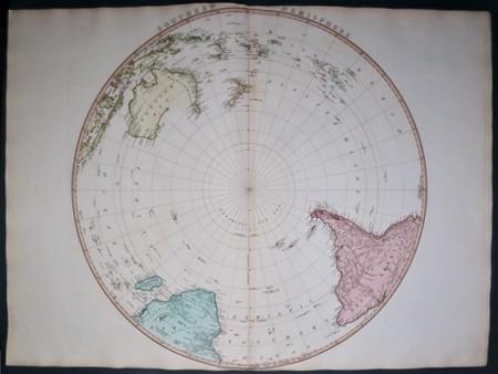
Southern Hemiphere by William Faden 1802
SOUTHERN HEMISPHERE
An interesting detailed map circular map. The title appear across the top and at the base of the map is the publishers imprint dated 1802. The margins are very tight here which is quite normal with a small amount of trimming at the base. 22 1/2 inches diameter. Wide blank side margins. Original centre fold. Good heavy paper. Of particular interest of course is the showing of Australia titled New Holland. 5 inch split at the bottom of the centre fold otherwise good condition. Taken from the atlas and therefore not previously sold as a single map.
From: A New General Atlas
22380 Twin Hemispheres, Gilles Robert de Vaugondy, 1748. Price: 110.00
-
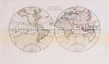
World Twin Hemispheres, Gilles Robert de Vaugondy 1748
MAPPE MONDE OU DESCRIPTION DU GLOBE TERRESTRE
An engraved map of the two hemispheres. Dtaed 1774 beneath title. 11 1/2 x 5 3/4 inches. Original outline hand colouring. Two original vertical folding creases. Good clean condition.
From: Atlas Portatif Universal
33441 Ancient World, Dr. Henry Kiepert, c.1902. Price: 20.00
-
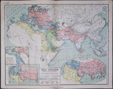
The Ancient World, Dr. Henry Kiepert c.1902
ORBIS TERRARUM
A lithograph map of the ancient world in ancient times. Three inset maps. 17 1/4 x 13 1/2 inches. Original centre fold. Good condition.
From: Atlas Antiquus published in Berlin
33445 Greece & Aegean, Dr. Henry Kiepert, c.1902. Price: 20.00
-
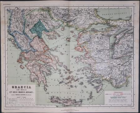
Greece & Aegean in Ancient Times, Dr. Henry Kiepert
GRAECIA CUM INSULIS ET ORIS MARIS AEGAEIA
A lithograph map of Greece and the Islands in ancient times. Inset map. 17 1/4 x 13 1/2 inches. Original centre fold. Good condition.
From: Atlas Antiquus published in Berlin
22388 Moscony Russia, Gilles Robert de Vaugondy, 1748. Price: 28.00
-
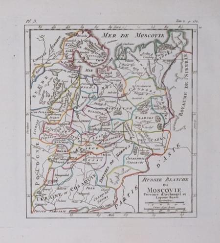
Northern Russia, Conrad Malte-Brun, 1812
RUSSIE BLANCHE OU MOSCOVIE
An engraved map of Moscovy with title panel and scale. 5 1/2 x 6 1/4 inches. Original outline hand colouring. Good condition.
From: Atlas Portatif Universal


