The BGS National Geoscience programme forms a core part of the BGS and underpins our role as the UK’s national geological survey. The programme is a forward-looking investment in UK geology that provides relevant, coherent and enriched geoscience knowledge for our stakeholders.
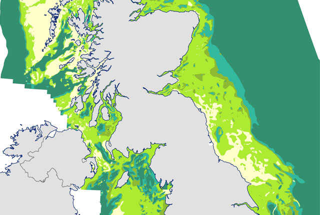
The programme improves the understanding of the geology of the UK and its continental margin; it will also provide enhanced interpretations of the UK’s sedimentary basins and basement in key areas for applied research and to support UK infrastructure.
The programme is creating new, quality-assured UK geological knowledge and data, both onshore and offshore, from mapping and modelling. We provide a range of geological services to external stakeholders, including commissioned applied research and geological characterisation.
Research areas
The programme has three strategic research areas alongside several other core activities.
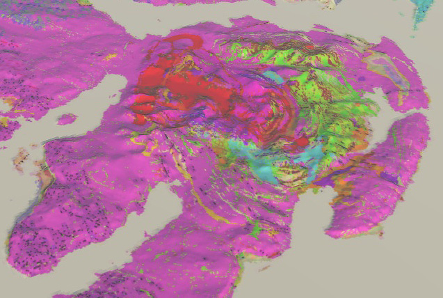
We are improving the structural understanding of the UK and continental margin by acquiring a coherent understanding of the tectonic framework of the UK and regional structural domains.
This aims to develop a coherent, national-scale, stratigraphical model of the UK and its continental margin, providing new interpretations of the UK’s sedimentary basins and basement in key areas for applied research.
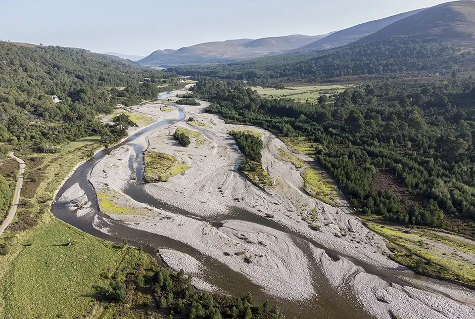
We are enhancing our understanding of the unconsolidated materials that make up the UK’s shallow geosphere, and investigating how changes in superficial deposits can be predicted.
Other core activities
- Enhancement of digital geological map data and provision of customer support to users of BGS Geology
- Ensuring that regional stakeholder priorities are understood and reflected in the programme through our network of chief geologists
- Leading continuous professional development of geological skills and knowledge at the BGS
Find out more about our research

3D urban geology
Providing conceptual understanding of the subsurface below our cities to support planning and development, using 3D urban models.

Regional geological summaries
Thirteen summaries of the on-shore regional geology for England, Wales and Northern Ireland.

BGS LithoFrame
Data outputs from 3D geological framework models are available at three different scales for parts of the onshore area of Great Britain.
Our core challenge areas
Related news

How can Scotland re-establish its building stone industry?
14/11/2024
British Geological Survey research, commissioned by Historic Environment Scotland, reveals an opportunity to re-establish the Scottish building stone market in order to maintain the country’s historic buildings.

Seabed geology data: stakeholder consultation
25/09/2024
BGS is seeking stakeholder feedback as part of a new Crown Estate-led initiative to improve understanding of national-scale seabed geology requirements

Warnings for Scottish farmers and distillers as new data indicates climate change may double number of droughts
23/07/2024
The agricultural and distilling sectors could face significant challenges after research finds the number of droughts in Scotland may double in the next 25 years.

New research reveals the secrets of the seabed off the East Anglian coast
11/07/2024
New geological map will help in the hunt for new renewable energy opportunities whilst protecting delicate marine ecosystems.

BGS to update geological maps of Strathmore
10/06/2024
A three-year project has begun to revise geological maps of Strathmore, which were last surveyed nearly 100 years ago.

Scientists produce first record of environmental data off coast of Hawai’i
01/03/2024
An international team of researchers, including BGS geoscientists, have succeeded in acquiring a continuous record of environmental data using fossilised coral from Hawai’i.

BGS seismologist named editor-in-chief of Geophysical Journal International
29/02/2024
Margarita Segou has been appointed as the editor-in-chief of one of the world’s leading, peer-reviewed research journals in solid-Earth geophysics.

New book launched on groundwater in Northern Ireland
30/10/2023
BGS and the Geological Survey of Northern Ireland (GSNI) have launched a new book and map on Northern Ireland’s groundwater.

Trans-Pacific Transit 2023: deep-diving ocean partnership sets sail
04/10/2023
BGS has joined a multidisciplinary research expedition to ‘explore the unexplored’ and fill in some of the biggest gaps in our knowledge of the oceans’ darkest depths.

Scientists set sail to investigate high-resolution sea level, climate and coral reef records
25/09/2023
BGS scientists are taking part in an expedition off Hawai’i to investigate sea-level changes recorded by ancient coral reefs.

A new open dataset to benefit onshore geoscience research
15/06/2023
Data from deep onshore hydrocarbon wells is being released on an open access basis to help meet the UK’s net zero targets.

Dr Marie Cowan awarded the Energy Group Medal by the Geological Society
18/05/2023
This award is presented annually to individuals with a geoscience background who have made an outstanding contribution to the energy industry.
You may also be interested in

International geoscience
BGS is active across the globe delivering institutional strengthening programmes and applied research projects across a wide variety of sectors.

Digital geoscience
The BGS is a data-rich organisation. Our data science and data infrastructure are fundamental to our future research and underpin our strategic challenges.


