2014
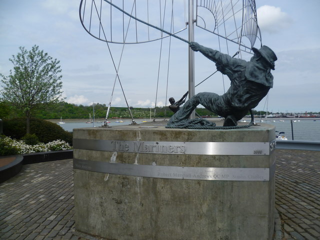
TQ7770 : The Mariners, St Mary's Island
taken 11 years ago, near to Lower Upnor, Medway, England
This is 1 of 2 images, with title The Mariners, St Mary's Island in this square

The Mariners, St Mary's Island
St Mary's Island, is part of the Chatham Maritime development area. By 1854, the whole of the island was in the hands of the Crown and the Royal Dockyard, Chatham. During the later years of the Royal Navy's time in occupation the area had consisted of a mixture of sports fields and warehousing. St.Mary's Island is divided from mainland Chatham by three basins used by the Dockyard.
In 1984, the Dockyard was closed. In the late 1990s, English Partnerships and housing developer Countryside, came together to build homes on the island, under the development name Countryside Maritime. There are areas of raised parkland such as Finsborough Down, but the real draw here are the views of the Medway Estuary opposite Lower Upnor and Hoo St Werburgh. Finsborough Ness is almost the eastern limit at the moment of development and this Millennium Sculpture called 'The Mariners' is next to Finsborough Slipway. Beyond to the right are Port Werburgh and Hoo Marina Park. For a view of the whole of The Mariners see Link
For more information about St Mary's Island see Link
