2012
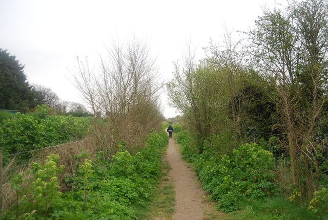
TR3564 : Thanet Coastal Path
taken 13 years ago, near to Cliffs End, Kent, England
This is 1 of 2 images, with title Thanet Coastal Path in this square

Thanet Coastal Path
The waymarked Thanet Coastal Path (20 miles and on OS mapping but no publication) is an often coincident linear route with the Viking Coastal Trail on the coastal section between the Thanet boundary near Reculver and Pegwell Bay. It winds its way past sandy beaches and bays, often against a backdrop of spectacular chalk cliffs. Ramsgate and Margate are lively seaside resorts and Broadstairs has nostalgic charm. For walkers the obvious inland return is on the Saxon Shore Way but the nearest footpath link to Pegwell Bay is at Sandwich, making a much longer route: both the Trail and Path link with the Saxon Shore Way (and Wantsum Walk) at Reculver.
Also see Link for more details about the path.
See other images of Thanet Coastal Path
Also see Link
See other images of Thanet Coastal Path
