Showing most recent first, in descending order
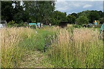
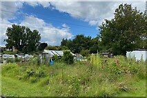
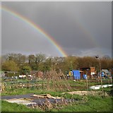
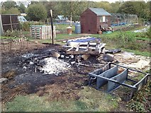
4 images in cluster Shed in SP2966
Image clustering - assigning images labels - is an automated process, based on the image title/description. It's not totally accurate, and can sometimes assign images to odd clusters
in SP2966, near Warwick, by Robin Stott
Explore these images in the Browser or Explore matching images including in surrounding squares (if any!)
All images  © Robin Stott and licensed for reuse under this Creative Commons Licence
Other Automatic clusters in SP2966
- Spinney Hill
- Potterton's Allotments
- Guy's Cliffe
- River Avon
- Saints Road
- East Warwick
- North Warwick
- Guy's Cliffe House
- Percy Estate Allotments
- Montague Road
- Flowers
- Greville Road
- Warwick dog Track
- Oakwood Grove
- Coventry Road
- Hobson's Choice
- Terminal Tower
- Avon Valley
- Riding School
- Wet Spring
- A429
- Woodside Residential
- Stop
- Steps
- St Mary's Chapel
- Pattens
- Shed
- George Road
- Saxon Mill
- Rows of Shops
- Chesford Crescent
- Contractor's Compound
- Millbank Greenspace
- County Council
- Tall Grass
- Part of a Large Field
- Rohan Court
- Disused Car Park Near
- Rohan Gardens
- Solar Panels


