West Cork Walks
West Cork is located in the southwest of Ireland and offers a breathtaking landscape that invites you to go hiking and strolling. Whether you’re a die-hard hiker or just want to take a gentle stroll – West Cork has something for everyone. Along the rugged coastline and over rolling hills, the region offers a wealth of short and scenic walks, of which we would like to introduce five very special walks to you. We’ve included both well-known walks and lesser-known ones that reveal the charm of West Cork off the beaten path. So, lace up your walking boots and get ready to discover the enchanting beauty of West Cork’s natural wonders.


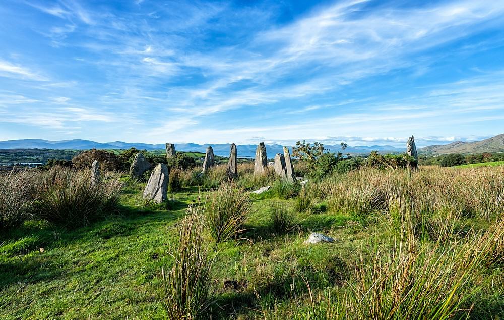
Sheep’s Head Lighthouse Loop Walk
The loop walk starts in the far west of the Sheep’s Head peninsula from the parking lot at Bernie’s Cupán Tae tea house (view on map). Right by the parking lot a narrow path leads down to the north side of the peninsula with fantastic views of Bantry Bay. The path first winds along stone walls and pastures, then further along steep cliffs (be careful at the cliff edge). Here you cross a wild and pristine scenery. After some time the path leads between rocks to the small lighthouse at Sheep’s Head. This is a fantastic photo spot and also the rugged headland itself invites you to explore. The way back leads in eastern direction first over a small bridge and further on a rocky path. After a short climb you get a great view of Lough Akeen before the path leads between two hills. Soon the landscape opens up again and reveals the view of Dunmanus Bay. Now it is not far to the parking lot or a scone with jam in the tea house.
Read more about Sheep’s Head Lighthouse.
Sheep’s Head Lighthouse Loop Walk Details
Start and finish: Tooreen parking lot at the end of the road
Time: 2 hours (for the walk to the lighthouse and back)
Distance: approx. 4.2 km
Total ascent: 50 m
Difficulty: Moderate hike with some steep climbs on rocky ground.
Waymark: Blue arrow on yellow background


Knockomagh Hill Walk
From the parking lot at Lough Hyne (view on map), walk back along the road towards the forest. Keep left when you get to the road that led you to Lough Hyne and after a few meters you will see some steps leading into the forest and a sign reading “Knockomagh Summit”. At the beginning, the path follows the edge of the forest and then gradually winds its way up Knockomagh Hill (follow the sign “Hill Top”). Passing an old cottage, the trail climbs steadily and passes through a beautiful forest. Every now and then you can catch a glimpse of Lough Hyne between the trees. The best view, however, is reached at the end of the climb at the very top of the summit. This is dotted with small hedges and some boulders and the view of the lake with the sea in the background is simply breathtaking. Return the same way you came up. After the hike, you can cool off with a swim in the salt water of Lough Hyne.
Read more about Lough Hyne.
Knockomagh Hill Walk Details
Start and finish: The parking lot at Lough Hyne
Time: 1,5 hours (for the ascent and descent)
Distance: approx. 3,5 km
Total ascent: 160 m
Difficulty: Easy hike with steep ascent on uneven forest path.


Three Castle Head Walk on the Mizen Peninsula
Take the trail from the parking lot (view on map) up to the farm (please close the gate). About halfway up, a path branches off from the driveway to the left into a pasture. This path will take you further uphill past the stone walls of the farm and from there it continues up the hill. At the top of the ridge you have a fantastic view over the rugged coastline and the Atlantic Ocean. Only a few meters further you get a first glimpse of the ruins of Dunlough Castle. Especially on the first visit this is a real wow-effect, because the fortress appears so unexpectedly and lies fairytale-like between hills right next to a lake. From the ridge, the path leads down to Dunlough Castle with its towers and walls. It’s also worth climbing the hill behind the castle, as you can see all the way across the ocean to the headland of Sheep’s Head.
Read more about Three Castle Head and Dunlough Castle.
Three Castle Head Walk Details
Start and finish: The parking lot at Dunlough Bay / Coosacuslaun Bay. A parking fee of € 3 per person is charged (children under 12 go free)
Time: 1 hour (for the ascent and descent)
Distance: approx. 3 km
Total ascent: 150 m
Difficulty: Easy hike with some steeper climbs in rough terrain
Note: The hike takes you over the terrain of an active farm. Dogs and drones are therefore not allowed on the site. Between January 10 and April 10 each year, the trail is closed to give the ecosystem a break.


Garnish Loop Walk on the Beara Peninsula
Cross the fence at the west end of the Dursey Island Cable Car parking lot (view on map) using the ladder crossing. From there follow the purple arrows through the open terrain. Soon the trail climbs steeply and you reach the highest point of the hike. Here you will not only enjoy a fantastic view over the western corner of the Beara Peninsula, you will also find peaceful silence. The path leads through the terrain downhill again. At Garnish Point you reach a narrow road that leads you along the varied coastline. Some small beaches invite you to take off your hiking boots and cool your feet in the surf. After a short stretch on the road, a path branches off to the right into a meadow (a sign pointing to “Beara Way – To Cable Car” guides you the right way). Follow this path until you reach the top of the road on which you previously drove to the cable car parking lot. The rest of the round trip is along the road back to the parking lot.
Read more about the Dursey Island.
Garnish Loop Walk Details
Start and finish: The parking lot at the Dursey Island Cable Car
Time: 1.5 hours (for the loop walk)
Distance: Approx. 4 km
Total ascent: 200 m
Difficulty: Easy to moderate hike with a steep ascent and descent
Signposts: Purple arrows and signposts of the Beara Way


Baltimore Beacon Walk
This is not a hike in the usual sense, but a longer stroll, which offers great views of the Roaring Water Bay and Sherkin Island. Start at the Baltimore Pier parking lot (view on map) and walk past the playground to an intersection. Keep to the right and continue around the bay. At the bottom of the beach, a sign reading “Beacon” points to the left into Beacon Road. This road takes you out of the village and gradually winds its way up to the headland. At the end of the road, you’ll only have to climb a short distance over rocks and pastures to reach West Cork’s famous landmark – the Baltimore Beacon. Return the same way you came up. This time with a view over the village and into the country.
Read more about the Baltimore Beacon.
Baltimore Beacon Walk Details
Start and finish: The Baltimore Pier parking lot
Time: 1 hour (to get there and back)
Distance: Approx. 3.2 km
Total ascent: 35 m
Difficulty: Easy walk mostly on road, only short off-road climb at the Beacon

Wild Atlantic Way Walking Guide

Beara & Sheep’s Head Walking Guide

OSI Discovery Series 84 – Cork (Castletown Bearhaven), Kerry (Waterville, Sneem)