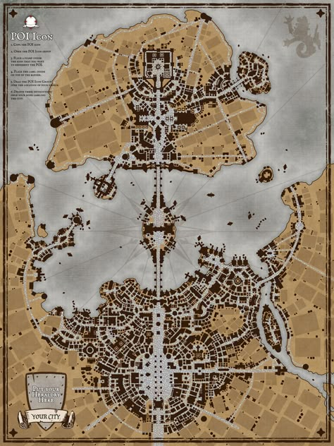
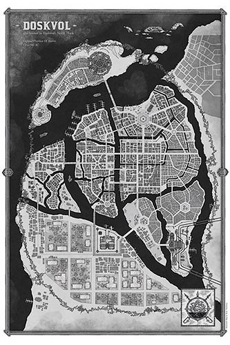
City maps

Discover Pinterest’s best ideas and inspiration for City maps. Get inspired and try out new things.
4k people searched this
·
Last updated 3d
a map of the city of saint petersburg, russian language is shown in blue and white

Blank walls suck, so bring some life to your dorm, bedroom, office, studio, wherever Printed on 185gsm semi gloss poster paper Custom cut - refer to size chart for finished measurements Includes a 3/16 inch (5mm) white border to assist in framing Since every item is made just for you by your local third-party fulfiller, there may be slight variances in the product received

963
an aerial view of a city with lots of buildings and streets in blue ink on white paper

Hand drawn city map of Raalte (called after some Dutch town). The city is situated on two rivers, on of them being an affluent, ending in the other. It's drawn as a city as it could have grown in multiple centuries: city center, former bastions, station close to the river side, apparment buildings from the 70s and newer neighbourhoods surrounding the city. In a word: a very European city. Why it is called Raalte? Well, I just like place names ending on -e and after having made up twenty of…

18k
a blueprinted map of the city of boston, with buildings and streets on it

Inspired on Venice, Mississippi delta, Dutch compact cities and English neighbourhoods (e.g. Southampton). Handdrawn with pencils. In the western suburb I erroneously used a black pencil instead of blue. I decided to upload the orginial map as after all it's not too bad (but stupid, stupid me). I don't draw perfect cities as they should be, but realistic cities how they are. But then imaginary. The city lies within a broader estuary without notable tidal effects (like in the Mediterranian)…

407

Related interests