

RAIN PAIN
‘Wet and breezy’ weather to batter Ireland as Met Eireann warn of thunderstorms & pinpoint areas to be hit by rain
The above average temperatures set to hit this week will soon change

MET Eireann have warned that "wet and breezy" conditions are set to batter Ireland in an "unsettled" week.
And a weather expert has warned that the "heavy" downpours are expected to start from later on today.

Despite the wet and windy conditions Met Eireann's Linda Hughes revealed temperatures will be above average for this time of year.
She said: "The weather for the rest of the week will be generally unsettled with wet and breezy weather at times.
"It will be mild though with temperatures above the October average."
Today will start cloudy with patches of mist and drizzle before rain begins to move in to the south, spreading across the country as the afternoon and evening progress.
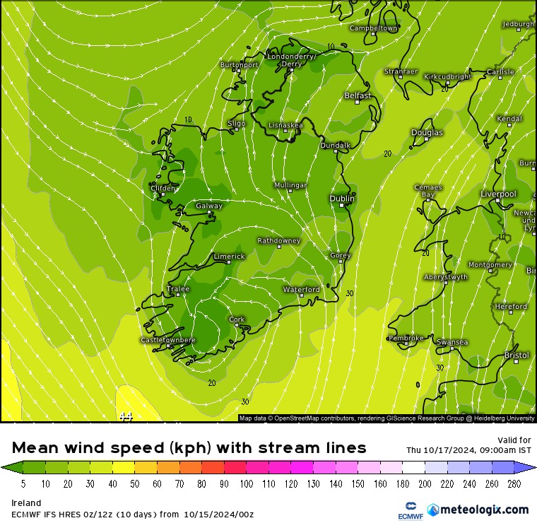
Heavy rain is expected particularly in the south and east with moderate southeasterly winds becoming fresh and gusty later.
Highest temperatures for today will sit between 14C to 16C.
Weighing in on today's forecast Alan O'Reilly of Carlow Weather warned over 40mm of rain is possible in some parts.
Taking to X (formerly Twitter) he said: "Cloudy start with some patchy light rain but heavy rain will push up from the Southwest this afternoon and evening with heavy falls tonight in East and South.
"Over 40mm possible on Comeragh and Wicklow mountains and over 20mm in South and East."
He added: "Brightening up from West Wednesday."
Isolated thunderstorms will move in tonight as heavy rain continues in the northeast and east.
Hill and coastal mist and fog will also develop throughout the night.
Lowest temperatures will sit at 11C to 14C with fresh and gusty winds expected early tonight.
For Wednesday the rain will clear some allowing some sunny spells to peak through in the south and west.
Linda Hughes said: "Tomorrow morning will be mostly cloudy with scattered outbreaks of rain.
"This will linger in parts of the north and east through the day but there'll be a clearance to sunny spells and some showers across the south and west."
Temperatures of 15C to 18C expected tomorrow with light to moderate southerly winds.
Remaining cloud and rain will clear to leave Wednesday night dry with just some patches of mist and fog however,western and southern areas may still see some heavy showers.
Lowest temperatures for 8C to 12C expected.
Thursday will be a very mixed day with sunny spells, heavy downpours, scattered showers and a chance of thunderstorms.
Temperatures on Thursday will sit around 13C to 16C dropping to around 7C to 12C that night.
Overnight it will be mostly dry although cloud and rain will move into the west.
Friday follows a similar template with "wet and breezy" conditions coupled with "heavy" rain moving to sunnier spells in the west come afternoon and spreading across the country in the evening.
Temperatures will sit between 14C to 17C with strong and gusty that will ease off as the rain does.
And for Friday night Met Eireann said: "Mostly dry with clear skies but there will be a few showers in the west and northwest.
"Lowest temperatures of 8 to 11 degrees in a light to moderate southerly breeze."
Temperatures are set to drop on Saturday in a chilly start to the weekend as Met Eireann warn: "A bit cooler than recent days with highs of 11C to 14C."
Linda Hughes said: "Most areas will be dry and bright on Saturday but there'll be some cloudier periods with showers too."
And for Sunday it looks as though wet and windy weather will continue throughout the day and into the night.


