Cloudy
Wind:7 mphSE
Humidity:90%
UV Index:Low
Tonight:Cloudy, mild
Temp: 29-35
Wind:SE 5-10 mph
Monday:Mostly cloudy, breezy
Temp:40-48
Wind:NW 5-20 mph
Spring-like weather comes to an end as temperatures turn more seasonal this week.
TONIGHT//MONDAY
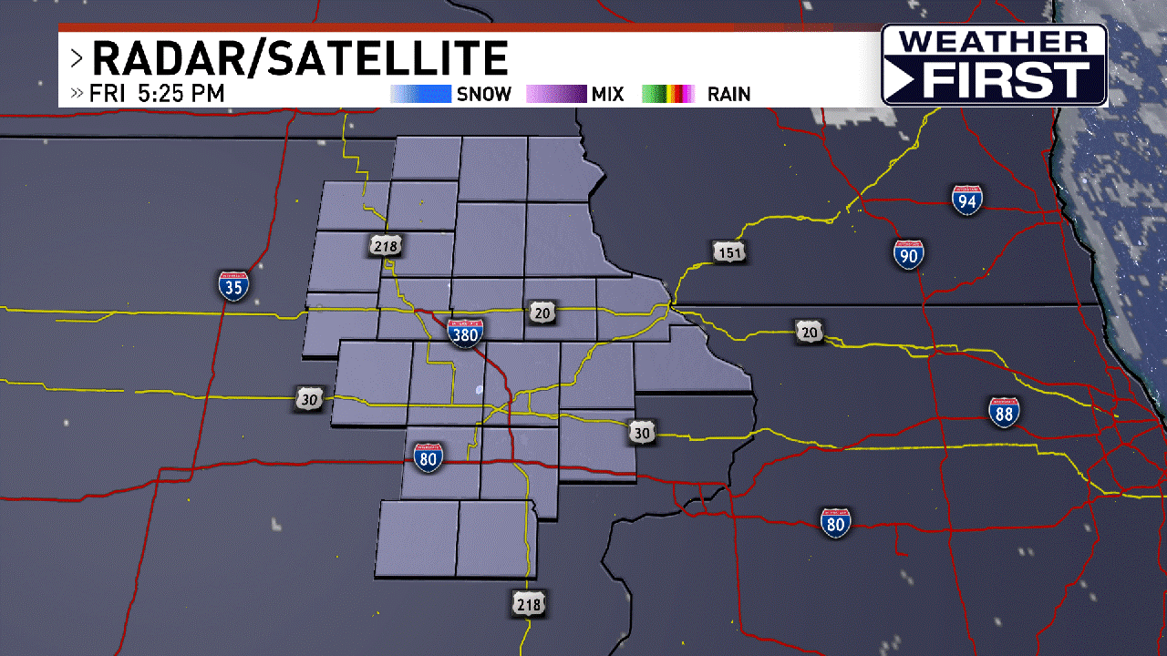
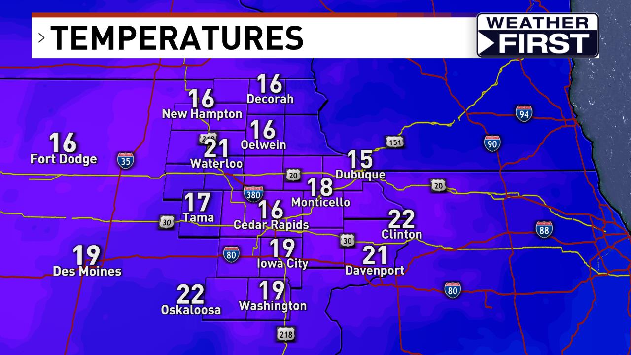
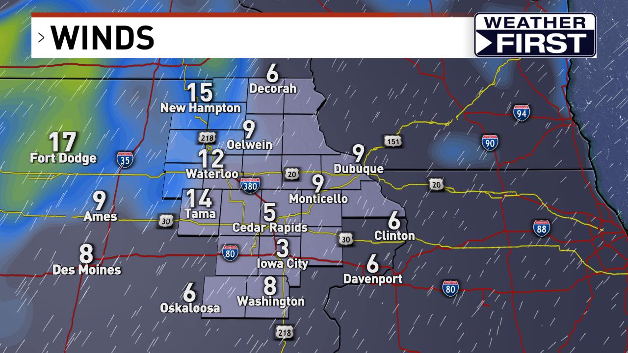
A storm system will pass north of the state tonight which could bring some sprinkles to areas north of highway 20 this evening. Most of the area will stay dry under cloudy skies, with temperatures in the low to mid 30s. A cold front will start to drop across the area on Monday dragging clouds along with it. Temperatures will still be well above average as highs climb into the mid 40s, but will start to fall as the front passes through. Winds will pick up behind the front out of the northwest and will start to pull cooler air back into the region. Northerly flow will take control for the rest of the week, sending temps back closer to normal. The clouds will stick around Monday night and temperatures will fall into the upper teens and low 20s.
TUESDAY//WEDNESDAY
It will be cooler on Tuesday in the low 30s with more cloud cover. Overnight lows will be in the 20s. The forecast will turn more active by Wednesday as a storm system moves across the region. There is still some uncertainty on the exact track this system will take, which will affect the type of precipitation we will see. Rain and freezing rain look to be the main precip types right now, but there could also be some snow in the mix depending on the path. Continue to check back in as we get a bit closer. Temperatures on Wednesday will be in the 30s, and overnight lows around 20 degrees.
THURSDAY & BEYOND
High temperatures will be right around freezing in the low 30s through the end of the work week and into the weekend, with overnight lows staying in the teens and lower 20s. There will be another chance for rain and snow as the next winter system moves in by Saturday.
Meteorologist Gracyn Freund
WeatherFirst Team
MORE FROM THE WEATHERFIRST TEAM
ChimeIn here with your weather photos!
- Sunrise
 Sunset7:18 AM5:23 PM
 - Today's Record Temperature
 Record High55° F2006
 Record Low-28° F1996