Tanjung Batu Previsiones de Olas e Boletín de Surf
(Brunei, Brunei Darussalam)
- Forecast
- Maps
- Live
- Weather State
- Spot Information
Tanjung Batu Surf Guide
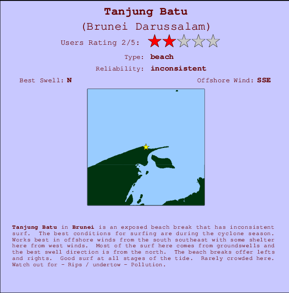
Tanjung Batu in Brunei is an exposed river break that has inconsistent surf. The best conditions for surfing are during the cyclone season. The best wind direction is from the south southeast with some shelter here from west winds. Tends to receive a mix of groundswells and windswells and the ideal swell direction is from the north. The river breaks offer lefts and rights. Good surf at all stages of the tide. Unlikely to be too crowded, even when the surf is up. Beware of - Rips / undertow - Pollution.
Tanjung Batu Spot Info
| Type: | Rating: |
|---|---|
| Reliability: | Todays Sea Temp*: |
| inconsistent | 29.5°C*ocean temperature recorded from satellite |
Surfing Tanjung Batu:
The best conditions reported for surf at Tanjung Batu occur when a North swell combines with an offshore wind direction from the South-southeast.
Tanjung Batu Surf:
Wednesday, 1 January 2025, 18:27 Local time| miércoles 01 | jue | |||
| 5PM | 8PM | 11PM | 2AM | |
| Wave (m) | ||||
| Período (s) | 9 | 9 | 9 | 9 |
| Viento (km/h) | ||||
| Estado del Viento | cross | cross | cross- off |
cross- off |
Tide Times:
En Tanjung Batu (0 km).
| PROXIMA | ES A LAS (hora local) | quedan |
|---|---|---|
| marea alta | ||
| marea baja |
Tanjung Batu Tide Times and Tide Chart
Live Weather:
At Brunei International Airport, 21 km from Tanjung Batu.
| light winds from the W km/h | Dry and partly cloudy | Air temperature BKN300 °C |
Overall Tanjung Batu Surf Consistency and Wind Distribution in enero


Wind stats for Tanjung Batu: see the variation in direction and stength by month.
Fotos de Surf
de la galería
| Contornos: | Carreteras y Ríos: | Selecciona un spot desde el menú |


Usa este mapa para navegar hacia las playas de surf de Brunei y estaciones de marea cercanas de Tanjung Batu
Spots de Surf más cercanos a Tanjung Batu:
(Clica la ubicación para más detalles)- Closest spot10 mi
- Second closest spot14 mi
- Third closest spot91 mi
- Fourth closest spot91 mi
- Fifth closest spot103 mi
Boyas marinas más cercanas a Tanjung Batu:
- Closest Boya Marinas1465 mi
- Second closest Boya Marinas1526 mi
- Third closest Boya Marinas1686 mi
- Fourth closest Boya Marinas1695 mi
- Fifth closest Boya Marinas1768 mi
Estaciones de marea más cercanas a Tanjung Batu:
- Closest estación de mareaBandar Seri Begawan10 mi
- Second closest estación de mareaVictoria (Labuan)20 mi
- Third closest estación de mareaTutong33 mi
- Fourth closest estación de mareaSeria62 mi
- Fifth closest estación de mareaKuala Belait68 mi
Airports
- The closest passenger airport to Tanjung Batu is Brunei International Airport (BWN) in Brunei, 18 km (11 miles) away (directly).
- The second nearest airport to Tanjung Batu is Labuan Airport (LBU) in Malaysia, 35 km (22 miles) away.
- Third is Marudi Airport (MUR) in Malaysia, 126 km (78 miles) away.
- Miri Airport (MYY) in Malaysia is 143 km (89 miles) away.
- Kota Kinabalu International Airport (BKI), also in Malaysia is the fifth nearest airport to Tanjung Batu and is 148 km (92 miles) away.


 Nearest