User:Matroc
Appearance
- Mele-Mele [1] - Nafarroa Kalea, 4 - phone: 943504556 - €10 You can design your own burger.
- Gernika -a thriving commercial town with great historical and cultural significance for the Basque people. In 1937 it was devastated by the German air force under the command of the fascists. Bombing was an experiment for WWII.
- User page on Wikivoyage - Matroc
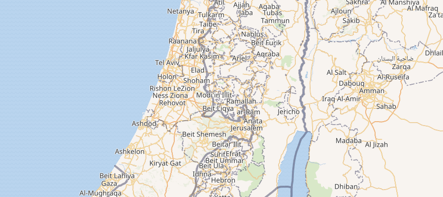
- Testing creating shapes (geoJSON) and placing them in maps created with mapframe -
20°25′12″N 72°49′48″E - maplink displays external data on mediawiki
- Zoo Symbol -- does show point icon for zoo
Exception
[edit]- If mapframe with identical code for geo position exists as maplink, maplink popup map will display.
- Here I zeroed height/width out on the mapframe and added the code for kite and Sun burst examples. This would be relatively ridiculous work and thus the need for group and show would be wanted in mapframe and maplink; otherwise each maplink would require a mapframe for each to display in full popup map so far. (Investigating further). A one off exception - may apparently use 1-time with drawing a polygon with coordinates and not for points and other types it appears.
- A Kite - points to a kite shape drawn on a map - popup will work using exception ie. a mapframe and maplink
- Sun burst - Sunburst - again a mapframe and maplink.
Add groups of different colored markers and different counters
- Note: Testing may not result the same on different wikis as Kartographer extension versions may not be the same....
multiline and multipoint
[edit]- Generally these have 1 property - as opposed to using individual points, lines and polygons which would have their own property.


