(84 - 28) 62970345
Aerial Survey (UAV/Drone)

Portcoast Digital Transformation Center (Portcoast DT) specializes in providing aerial survey services using unmanned aerial vehicles (UAV/Drone). With years of experience and modern, high-performance equipment (including survey equipment and software).
Aerial surveying with UAV/Drone is commonly used to gather information about terrain, resources, and the environment. The results of this data collection can be used to create maps, build 3D models, locate objects, and analyze data. This solution is also used in various fields, including design, construction, infrastructure maintenance, scientific research, resource exploitation, environmental monitoring, and more.

Orthophoto technique uses image acquisition technology from unmanned aerial vehicles (UAV/drones) to create detailed and accurate aerial images of entire areas.
The applications of Orthophoto are used in various fields such as land management, resource management, urban and environmental management, construction design, monitoring, and many other applications. Orthophoto can be used to create geographical maps, land use maps, and administrative maps.

The Photogrammetric Mapping technique creates a map or 3D model of an area using images captured from an unmanned aerial vehicle (UAV/Drone). It is a method of measuring and determining the location of objects on the ground using images taken from different angles.
The applications of Photogrammetric Mapping are diverse, including land management, natural resource management, urban planning, design and construction, environmental monitoring and management, and many other applications. Maps and 3D models can be used to analyze geography, predict floods, create planning schemes, and many other applications.
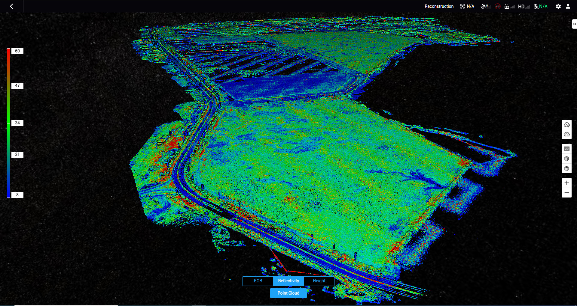
Topographic LiDAR uses a LiDAR device mounted on an unmanned aerial vehicle (UAV/Drone) to collect highly accurate, high-resolution topographic maps. LiDAR stands for "Light Detection and Ranging," and it works by emitting a laser beam and measuring the time it takes for the light to bounce back after hitting an object. As the laser beam scans over a terrain area, the LiDAR device collects thousands of data points in a very short time.
This technology is used in various applications, including terrain surveying, map making, natural resource management, environmental monitoring and management, highway design, mining exploration projects, and many other applications.
Benefits of UAV/Drone surveying:
- Drones can collect high-precision data much faster than traditional survey methods
- Data acquisition and processing by powerful software deliver the required output quickly. Our survey results can be sent to customers as soon as possible
- The use of drones avoids the need for human access to hazardous, hard-to-reach terrain and environments without disrupting field operations
- Digital data also allows easy data storage, retrieval and comparison in the Internet environment
- Cloud-based data processing and analysis tools further benefit your team by enabling engineers, project managers, site managers, and subcontractors to perform measure and perform calculations on survey data using just a simple PC, laptop or even tablet computer, reasonable Internet data connection
We provide GIS (Geographic Information System) products that meet customers' demands for quality and accuracy:
- Orthophotomap
- DEM (Digital Elevation Models)
- DSM (Digital Surface Models)
- DTM (Digital Terrain Models)
- 3D Model & 3D Point cloud Model
Our state-of-the-art equipment

Stormbee UAV S-20
STORMBEE is a user-friendly Unmanned Aerial Vehicle (UAV) custom designed for lasers canning with a FARO Focus laser scanner.

Matrice 300 RTK + Zenmuse L1 + Zenmuse P1
This is one of the most advanced drones. Equipping sensors in multiple directions gives the Matrice 300RTK outstanding safety. The Matrice 300RTK - Zenmuse L1 system is capable of capturing image and point cloud data, based on 3 times response signal from the Lidar and penetrating through the foliage…

Matrice 300 RTK + Share PSDK 102S V3
PPSDK 102S V3, the 5-lens oblique camera with 3-Axis Stabilized Gimbal, is a highly integrated surveying camera specialized in aerial photogrammetry. Full-on efficiency booster brings unprecedented operating experience. The adjustable parameter allows camera applicated in various scenarios. Also widely compatible with open-source payloads.
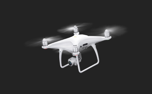
DJI Phantom 4 RTK
Phantom 4 RTK is an unmanned aerial vehicle with built-in topographic surveying capabilities, 2-frequency GPS receiver, combined with a base station… It is highly effective in tasks: flying and capturing topographic maps. main, topographic map flight, electric route capture flight, or real-time RTK dynamic measurement, PPK GPS post-processing dynamic measurement…
Portcoast Digital Transformation Center
We provide digital conversion services in the construction industry. We research ways to apply digital conversion to the world of design and construction, creating a digital platform to optimize design, promote industrial construction processes, and use digital models.
Contact Us
328 Nguyen Trong Tuyen Str., Ward 2, Tan Binh Dist. , Ho Chi Minh City
(84 - 28) 62970345; 62970341

