Quick filters:
Thames river map Stock Photos and Images
 Rowing Map of the Thames, 1955 illustrated plan of the River Thames as it winds through London, from Hampton Court to Blackfriars, with points of interest to those boating on the river Stock Photohttps://www.alamy.com/image-license-details/?v=1https://www.alamy.com/stock-photo-rowing-map-of-the-thames-1955-illustrated-plan-of-the-river-thames-140740876.html
RMJ4Y8BT–Rowing Map of the Thames, 1955 illustrated plan of the River Thames as it winds through London, from Hampton Court to Blackfriars, with points of interest to those boating on the river
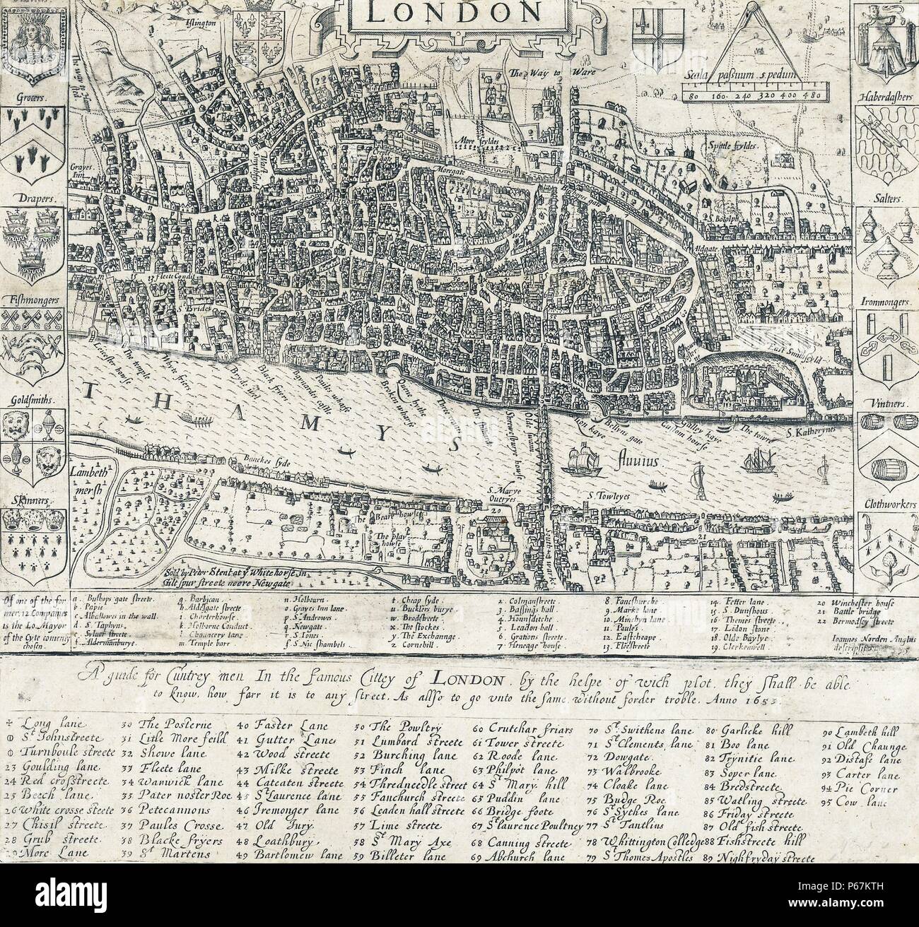 16th Century Map of London by John Norden (1548-1625) English cartographer, chorographer and antiquary. Dated 1593 Stock Photohttps://www.alamy.com/image-license-details/?v=1https://www.alamy.com/16th-century-map-of-london-by-john-norden-1548-1625-english-cartographer-chorographer-and-antiquary-dated-1593-image210381601.html
RMP67KTH–16th Century Map of London by John Norden (1548-1625) English cartographer, chorographer and antiquary. Dated 1593
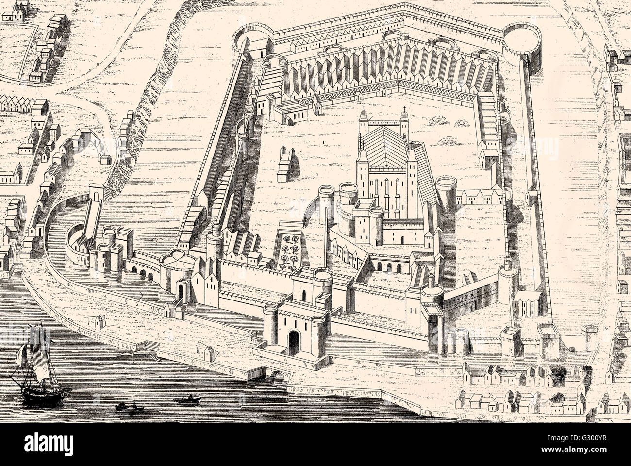 Tower of London, Her Majesty's Royal Palace and Fortress, a historic castle located on the north bank of the River Thames in cen Stock Photohttps://www.alamy.com/image-license-details/?v=1https://www.alamy.com/stock-photo-tower-of-london-her-majestys-royal-palace-and-fortress-a-historic-105106955.html
RMG300YR–Tower of London, Her Majesty's Royal Palace and Fortress, a historic castle located on the north bank of the River Thames in cen
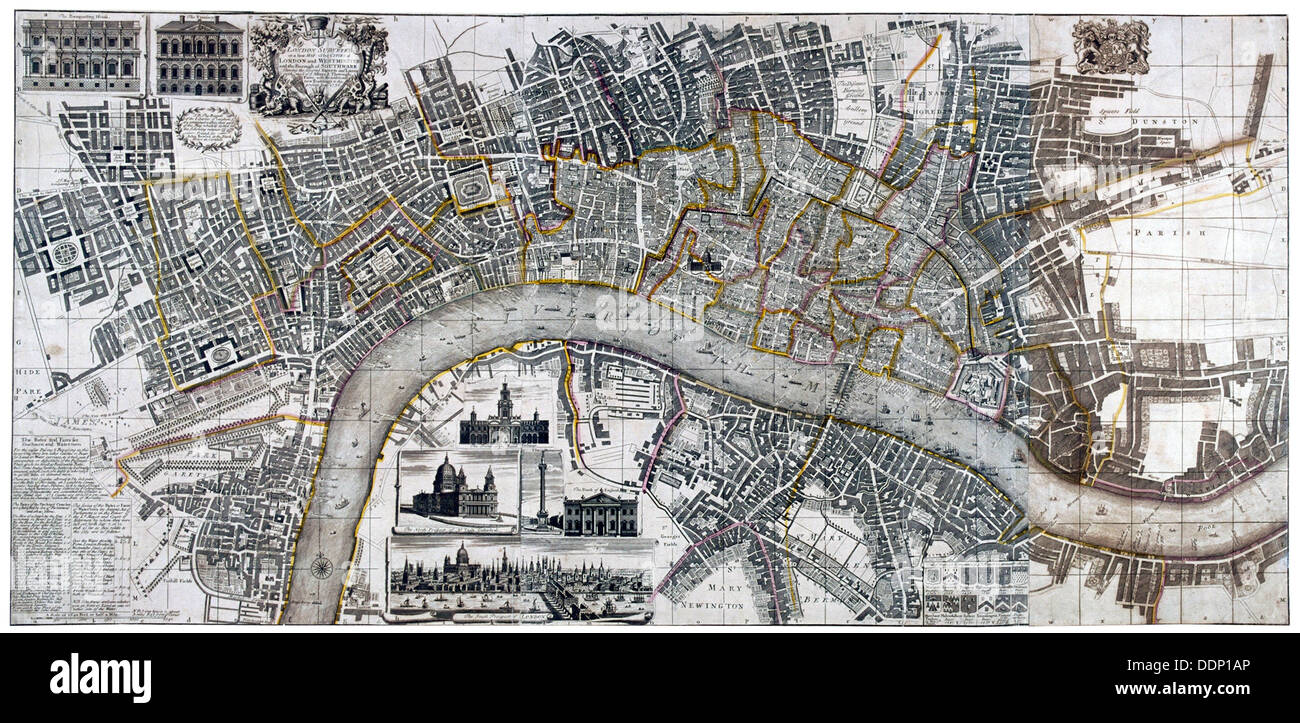 Map of the City of London, City of Westminster, River Thames, Lambeth and Southwark, 1736. Artist: Anon Stock Photohttps://www.alamy.com/image-license-details/?v=1https://www.alamy.com/map-of-the-city-of-london-city-of-westminster-river-thames-lambeth-image60105662.html
RMDDP1AP–Map of the City of London, City of Westminster, River Thames, Lambeth and Southwark, 1736. Artist: Anon
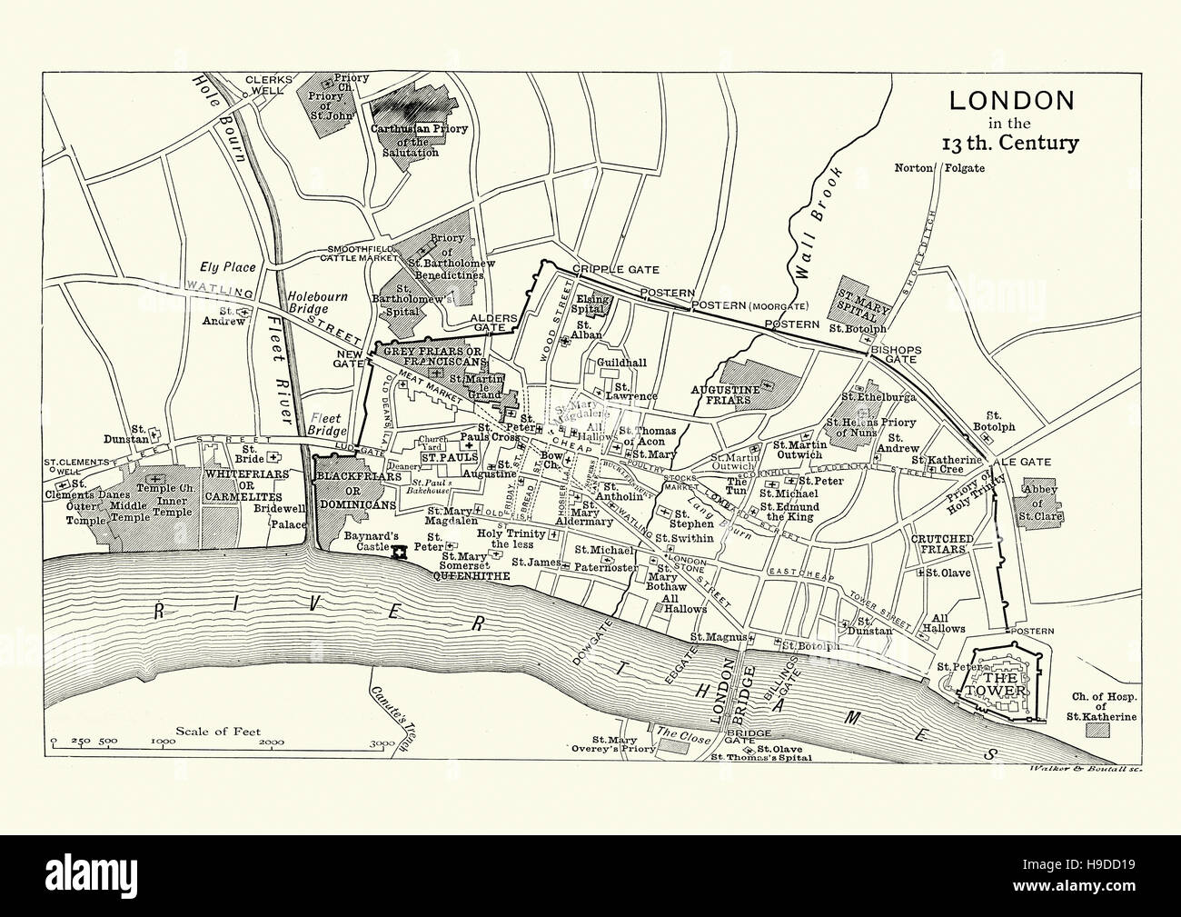 Map of London in the 13th Century Stock Photohttps://www.alamy.com/image-license-details/?v=1https://www.alamy.com/stock-photo-map-of-london-in-the-13th-century-126300085.html
RMH9DD19–Map of London in the 13th Century
 Map of the course of the River Thames, England Stock Photohttps://www.alamy.com/image-license-details/?v=1https://www.alamy.com/map-of-the-course-of-the-river-thames-england-image504913648.html
RM2M9CPE8–Map of the course of the River Thames, England
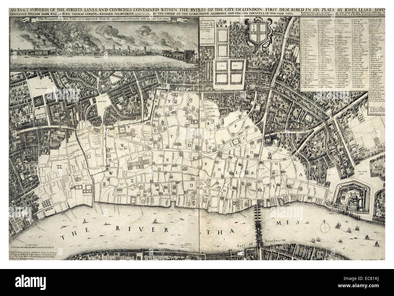 17th century map of London including the River Thames. At the top of the Map there is an illustration of the Great Fire of London. Dated 1677 Stock Photohttps://www.alamy.com/image-license-details/?v=1https://www.alamy.com/stock-photo-17th-century-map-of-london-including-the-river-thames-at-the-top-of-76394294.html
RMEC81KJ–17th century map of London including the River Thames. At the top of the Map there is an illustration of the Great Fire of London. Dated 1677
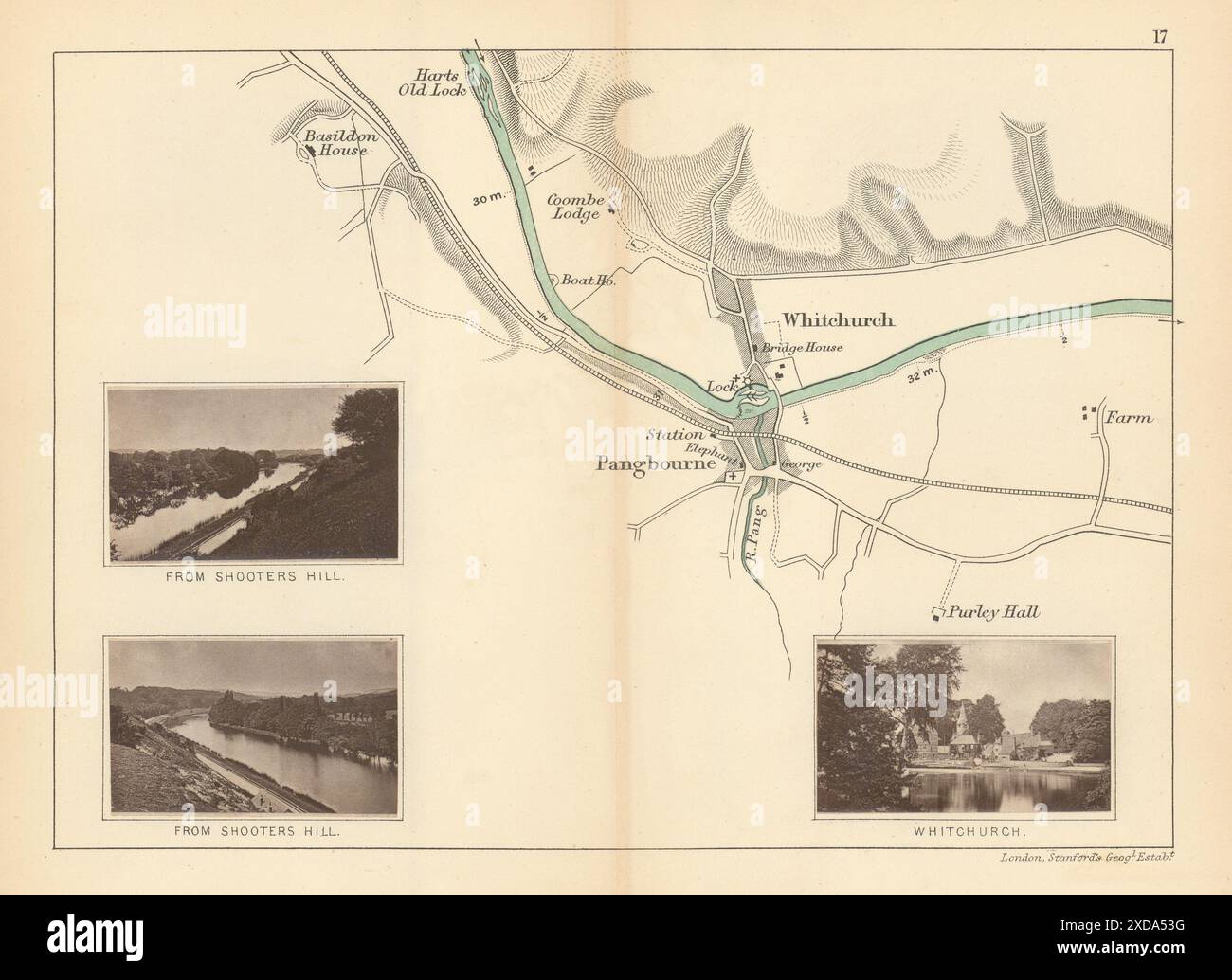 RIVER THAMES - Pangbourne - Whitchurch. Shooters Hill. TAUNT 1887 old map Stock Photohttps://www.alamy.com/image-license-details/?v=1https://www.alamy.com/river-thames-pangbourne-whitchurch-shooters-hill-taunt-1887-old-map-image610576948.html
RF2XDA53G–RIVER THAMES - Pangbourne - Whitchurch. Shooters Hill. TAUNT 1887 old map
 Plan of part of the City of Westminster, taken from Agas' Map of London, Civitas Londinium, 1578. Possibly by Ralph Agas (c1540-1621). This view of the Thames also features Westminster Abbey and the original Palace of Westminster. Stock Photohttps://www.alamy.com/image-license-details/?v=1https://www.alamy.com/plan-of-part-of-the-city-of-westminster-taken-from-agas-map-of-london-civitas-londinium-1578-possibly-by-ralph-agas-c1540-1621-this-view-of-the-thames-also-features-westminster-abbey-and-the-original-palace-of-westminster-image247321059.html
RMTAACEY–Plan of part of the City of Westminster, taken from Agas' Map of London, Civitas Londinium, 1578. Possibly by Ralph Agas (c1540-1621). This view of the Thames also features Westminster Abbey and the original Palace of Westminster.
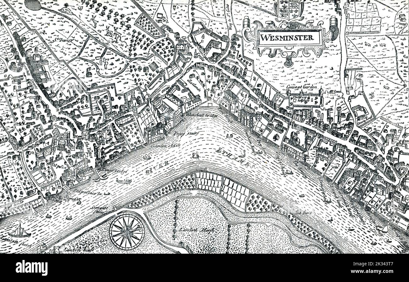 Undeveloped Westminster map in 16th Century London England. Heart of London including Whitehall and River Thames Stock Photohttps://www.alamy.com/image-license-details/?v=1https://www.alamy.com/undeveloped-westminster-map-in-16th-century-london-england-heart-of-london-including-whitehall-and-river-thames-image483825111.html
RF2K343T7–Undeveloped Westminster map in 16th Century London England. Heart of London including Whitehall and River Thames
 Map of London featuring Whitefriars, 1682 (1930).Artist: Morden & Lea Stock Photohttps://www.alamy.com/image-license-details/?v=1https://www.alamy.com/map-of-london-featuring-whitefriars-1682-1930artist-morden-lea-image262756402.html
RMW7DGD6–Map of London featuring Whitefriars, 1682 (1930).Artist: Morden & Lea
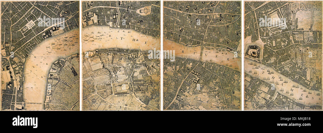 River Thames 1746 Stock Photohttps://www.alamy.com/image-license-details/?v=1https://www.alamy.com/river-thames-1746-image184185940.html
RMMKJB18–River Thames 1746
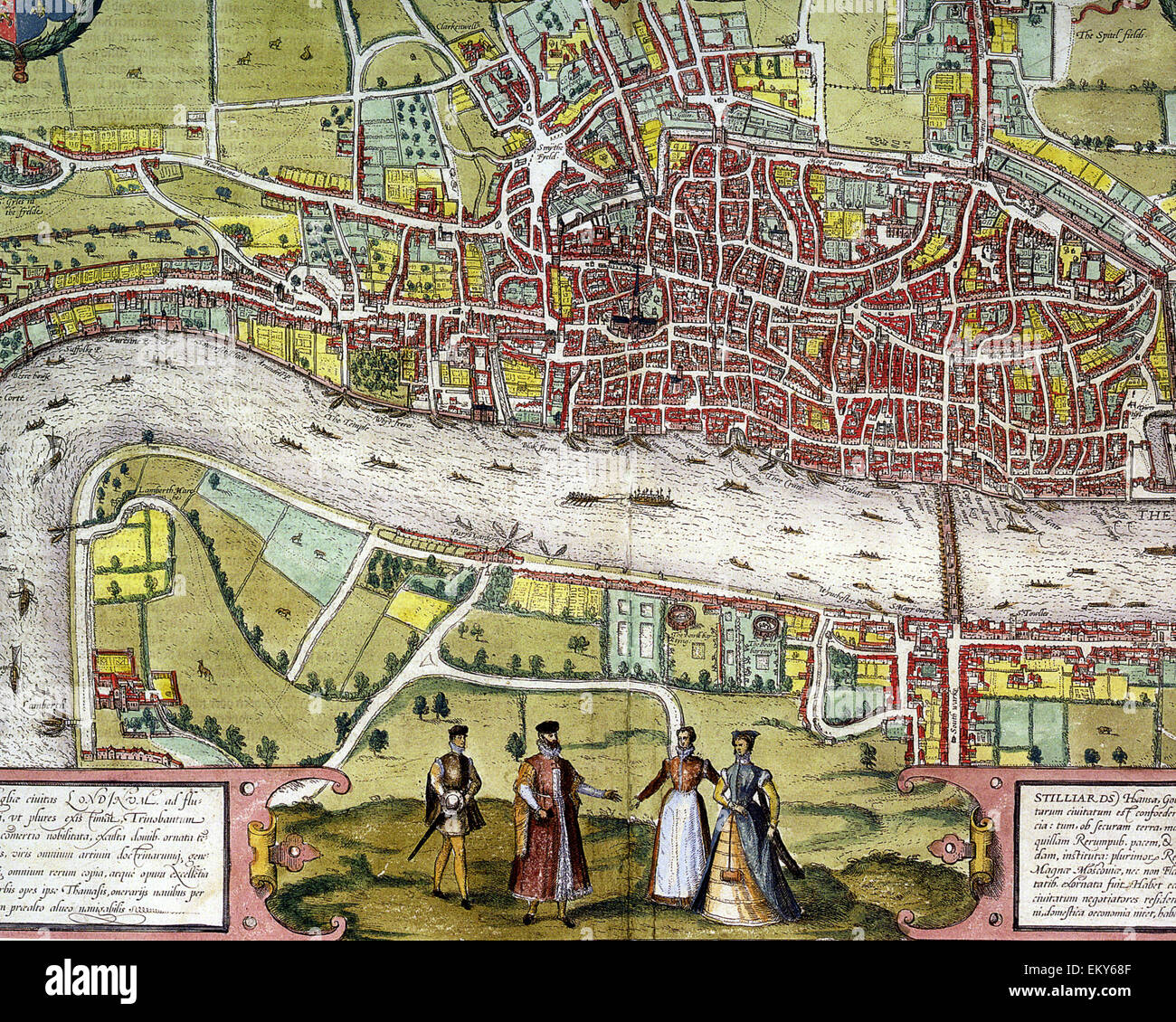 ELIZABETHAN LONDON Centre section of Braun and Hogenberg's map printed in 1572 Stock Photohttps://www.alamy.com/image-license-details/?v=1https://www.alamy.com/stock-photo-elizabethan-london-centre-section-of-braun-and-hogenbergs-map-printed-81117583.html
RMEKY68F–ELIZABETHAN LONDON Centre section of Braun and Hogenberg's map printed in 1572
 An extract from a very early 1800s map of the streets of Wapping Wall and lower Shadwell overlooking the river Thames,London England including Shakespeare street or lane, Fox lane, Dean street, King James Street,Coal street, King and Queen Street, Shadwell dock, Pelican Street, New Crane Street, Grfiffin Street. The name Shadwell is believed to bederived from St Chad's Well. Stock Photohttps://www.alamy.com/image-license-details/?v=1https://www.alamy.com/an-extract-from-a-very-early-1800s-map-of-the-streets-of-wapping-wall-and-lower-shadwell-overlooking-the-river-thameslondon-england-including-shakespeare-street-or-lane-fox-lane-dean-street-king-james-streetcoal-street-king-and-queen-street-shadwell-dock-pelican-street-new-crane-street-grfiffin-street-the-name-shadwell-is-believed-to-bederived-from-st-chads-well-image424925752.html
RM2FK913M–An extract from a very early 1800s map of the streets of Wapping Wall and lower Shadwell overlooking the river Thames,London England including Shakespeare street or lane, Fox lane, Dean street, King James Street,Coal street, King and Queen Street, Shadwell dock, Pelican Street, New Crane Street, Grfiffin Street. The name Shadwell is believed to bederived from St Chad's Well.
 England, London, Southwark, Street Map showing The Tower of London and River Thames and London Bridge Area Stock Photohttps://www.alamy.com/image-license-details/?v=1https://www.alamy.com/england-london-southwark-street-map-showing-the-tower-of-london-and-river-thames-and-london-bridge-area-image425591884.html
RM2FMBAP4–England, London, Southwark, Street Map showing The Tower of London and River Thames and London Bridge Area
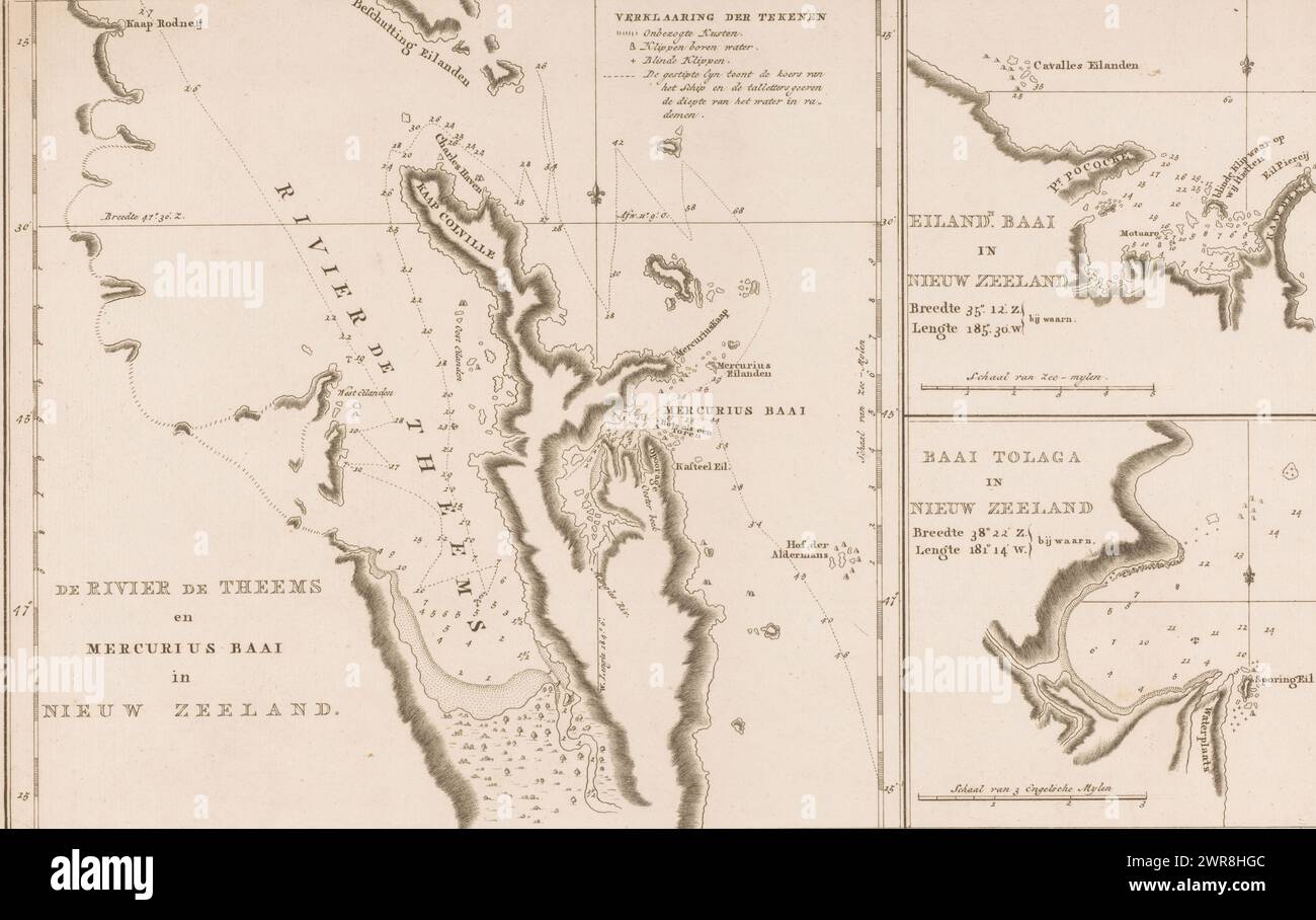 Map of three bays in New Zealand, The River Thames and Mercury Bay in New Zealand, Island Bay in New Zealand, Tolaga Bay in New Zealand (title on object), Numbered top right: 7., print maker: anonymous, publisher: Abraham Honkoop (II), publisher: Johannes Allart, publisher: Leiden, publisher: Amsterdam, publisher: The Hague, 1797, paper, etching, height 290 mm × width 446 mm, print Stock Photohttps://www.alamy.com/image-license-details/?v=1https://www.alamy.com/map-of-three-bays-in-new-zealand-the-river-thames-and-mercury-bay-in-new-zealand-island-bay-in-new-zealand-tolaga-bay-in-new-zealand-title-on-object-numbered-top-right-7-print-maker-anonymous-publisher-abraham-honkoop-ii-publisher-johannes-allart-publisher-leiden-publisher-amsterdam-publisher-the-hague-1797-paper-etching-height-290-mm-width-446-mm-print-image599479004.html
RM2WR8HGC–Map of three bays in New Zealand, The River Thames and Mercury Bay in New Zealand, Island Bay in New Zealand, Tolaga Bay in New Zealand (title on object), Numbered top right: 7., print maker: anonymous, publisher: Abraham Honkoop (II), publisher: Johannes Allart, publisher: Leiden, publisher: Amsterdam, publisher: The Hague, 1797, paper, etching, height 290 mm × width 446 mm, print
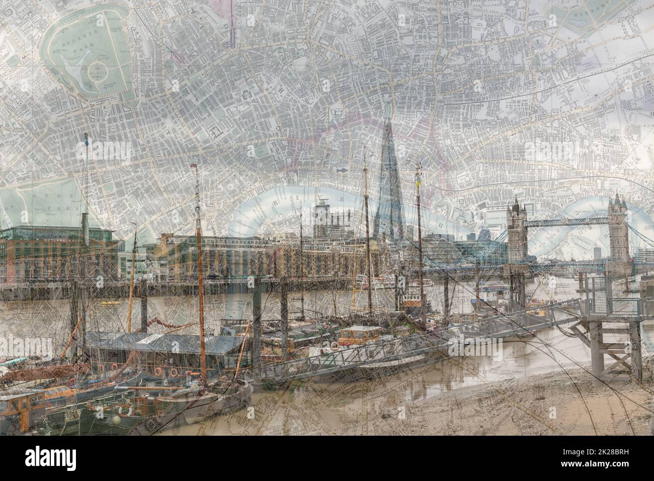 Public Domain ancient map of London merged with photograph of the river Thames giving an old feel to a familiar view. New meets Old in this shot. Stock Photohttps://www.alamy.com/image-license-details/?v=1https://www.alamy.com/public-domain-ancient-map-of-london-merged-with-photograph-of-the-river-thames-giving-an-old-feel-to-a-familiar-view-new-meets-old-in-this-shot-image483304517.html
RF2K28BRH–Public Domain ancient map of London merged with photograph of the river Thames giving an old feel to a familiar view. New meets Old in this shot.
 Tom W. Newson, chairman of Thames Water Authority, during a Water Management Committee meeting in New River Head, London. Items to be discussed include reports on the regional water situation and the Drought Act 1976. Stock Photohttps://www.alamy.com/image-license-details/?v=1https://www.alamy.com/tom-w-newson-chairman-of-thames-water-authority-during-a-water-management-committee-meeting-in-new-river-head-london-items-to-be-discussed-include-reports-on-the-regional-water-situation-and-the-drought-act-1976-image372087728.html
RM2CHA1KC–Tom W. Newson, chairman of Thames Water Authority, during a Water Management Committee meeting in New River Head, London. Items to be discussed include reports on the regional water situation and the Drought Act 1976.
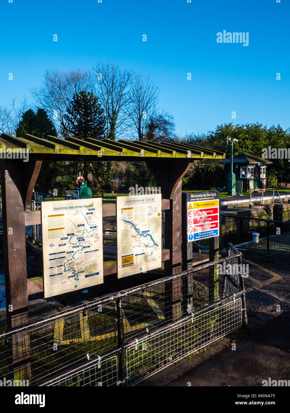 Caversham Lock, River Thames, Caversham, Reading, Berkshire, England, UK, GB. Stock Photohttps://www.alamy.com/image-license-details/?v=1https://www.alamy.com/stock-photo-caversham-lock-river-thames-caversham-reading-berkshire-england-uk-172572713.html
RMM0NA75–Caversham Lock, River Thames, Caversham, Reading, Berkshire, England, UK, GB.
 London England,UK,Westminster Bridge,Thames River,Asian man men male,boy boys,kid kids child children youngster,teen teens teenager teenagers reading Stock Photohttps://www.alamy.com/image-license-details/?v=1https://www.alamy.com/london-englandukwestminster-bridgethames-riverasian-man-men-maleboy-boyskid-kids-child-children-youngsterteen-teens-teenager-teenagers-reading-image226935984.html
RMR55R4G–London England,UK,Westminster Bridge,Thames River,Asian man men male,boy boys,kid kids child children youngster,teen teens teenager teenagers reading
 17th century map of London including the River Thames. At the top of the Map there is an illustration of the Great Fire of London. Dated 1677 Stock Photohttps://www.alamy.com/image-license-details/?v=1https://www.alamy.com/17th-century-map-of-london-including-the-river-thames-at-the-top-of-the-map-there-is-an-illustration-of-the-great-fire-of-london-dated-1677-image210381544.html
RMP67KPG–17th century map of London including the River Thames. At the top of the Map there is an illustration of the Great Fire of London. Dated 1677
 Woman tourist looking at a map of London by the river Thames. UK Stock Photohttps://www.alamy.com/image-license-details/?v=1https://www.alamy.com/stock-photo-woman-tourist-looking-at-a-map-of-london-by-the-river-thames-uk-37615854.html
RMC55FBA–Woman tourist looking at a map of London by the river Thames. UK
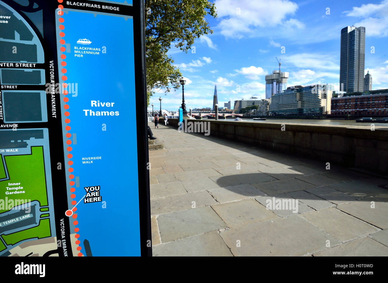 London, England, UK. 'You are here' tourist information map on the Victoria Embankment by the River Thames. Stock Photohttps://www.alamy.com/image-license-details/?v=1https://www.alamy.com/stock-photo-london-england-uk-you-are-here-tourist-information-map-on-the-victoria-121000137.html
RMH0T0WD–London, England, UK. 'You are here' tourist information map on the Victoria Embankment by the River Thames.
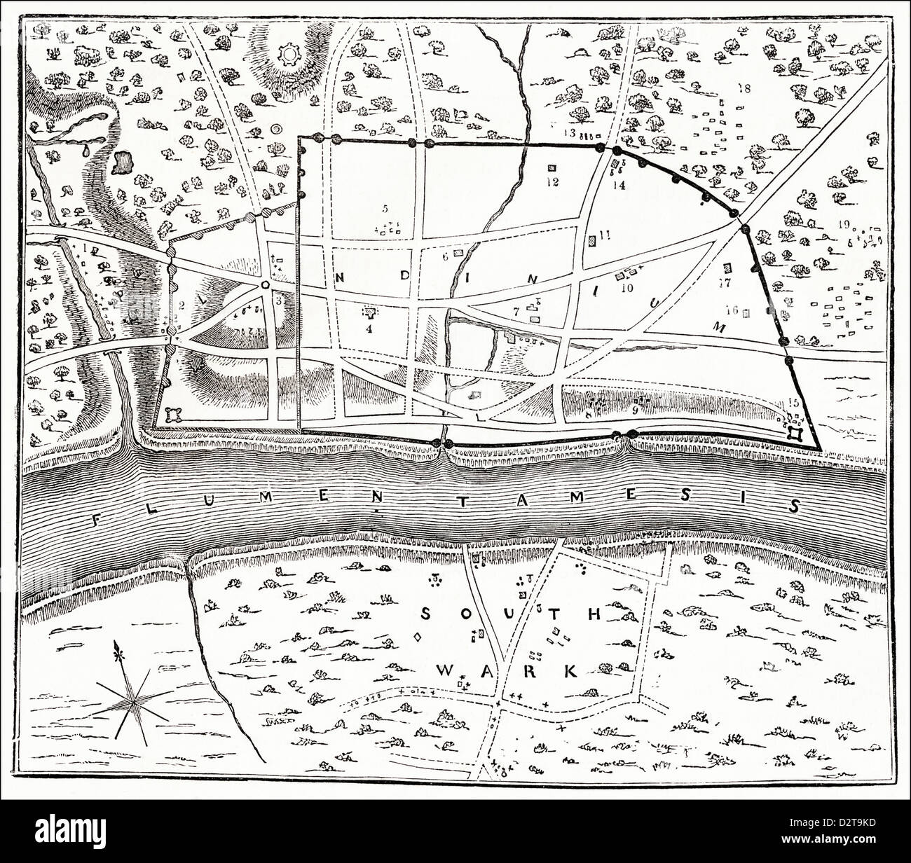 Plan of Roman London showing city walls and River Thames Victorian woodcut engraving circa 1845 Stock Photohttps://www.alamy.com/image-license-details/?v=1https://www.alamy.com/stock-photo-plan-of-roman-london-showing-city-walls-and-river-thames-victorian-53394865.html
RMD2T9KD–Plan of Roman London showing city walls and River Thames Victorian woodcut engraving circa 1845
 18th century Map of London and River Thames Stock Photohttps://www.alamy.com/image-license-details/?v=1https://www.alamy.com/18th-century-map-of-london-and-river-thames-image504916005.html
RM2M9CWED–18th century Map of London and River Thames
 aerial view of St Pauls cathedral and the river Thames Stock Photohttps://www.alamy.com/image-license-details/?v=1https://www.alamy.com/aerial-view-of-st-pauls-cathedral-and-the-river-thames-image3459156.html
RMA2TT55–aerial view of St Pauls cathedral and the river Thames
 RIVER THAMES - Pangbourne - Whitchurch. Shooters Hill. TAUNT 1879 old map Stock Photohttps://www.alamy.com/image-license-details/?v=1https://www.alamy.com/river-thames-pangbourne-whitchurch-shooters-hill-taunt-1879-old-map-image599833668.html
RF2WRTNY0–RIVER THAMES - Pangbourne - Whitchurch. Shooters Hill. TAUNT 1879 old map
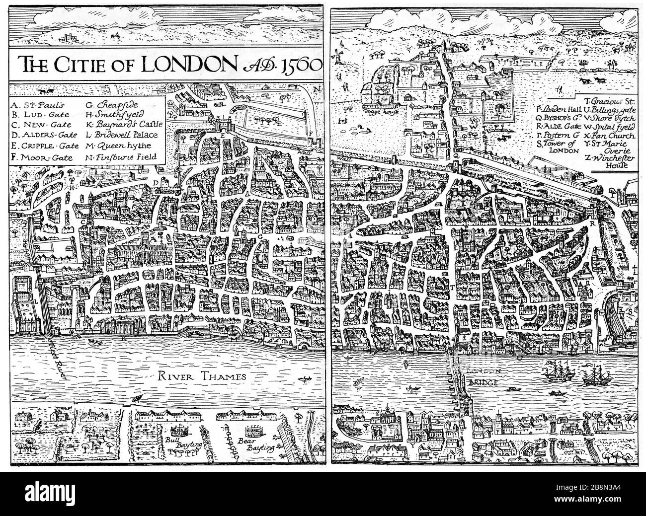 The City of London, 1560. A map of Elizabethan London. Stock Photohttps://www.alamy.com/image-license-details/?v=1https://www.alamy.com/the-city-of-london-1560-a-map-of-elizabethan-london-image349588236.html
RM2B8N3A4–The City of London, 1560. A map of Elizabethan London.
 A sign by the River Thames at Windsor, UK giving visitors information about riverboat trips including a map of the route. Stock Photohttps://www.alamy.com/image-license-details/?v=1https://www.alamy.com/a-sign-by-the-river-thames-at-windsor-uk-giving-visitors-information-about-riverboat-trips-including-a-map-of-the-route-image553825329.html
RF2R50WT1–A sign by the River Thames at Windsor, UK giving visitors information about riverboat trips including a map of the route.
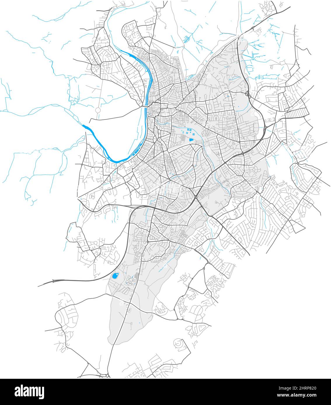 Kingston upon Thames, Greater London, United Kingdom, high detail vector map with city boundaries and editable paths. White outlines for main roads. M Stock Vectorhttps://www.alamy.com/image-license-details/?v=1https://www.alamy.com/kingston-upon-thames-greater-london-united-kingdom-high-detail-vector-map-with-city-boundaries-and-editable-paths-white-outlines-for-main-roads-m-image462095928.html
RF2HRP820–Kingston upon Thames, Greater London, United Kingdom, high detail vector map with city boundaries and editable paths. White outlines for main roads. M
 A map of mid-17th Century London showing the walls that surrounded the then small City, England. Stock Photohttps://www.alamy.com/image-license-details/?v=1https://www.alamy.com/a-map-of-mid-17th-century-london-showing-the-walls-that-surrounded-the-then-small-city-england-image226009773.html
RMR3KHNH–A map of mid-17th Century London showing the walls that surrounded the then small City, England.
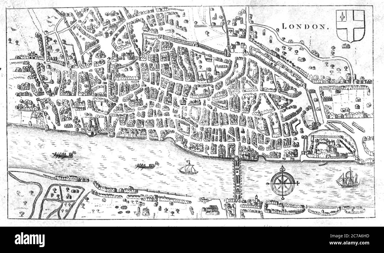 LONDON about 1600 Stock Photohttps://www.alamy.com/image-license-details/?v=1https://www.alamy.com/london-about-1600-image365945033.html
RM2C7A6HD–LONDON about 1600
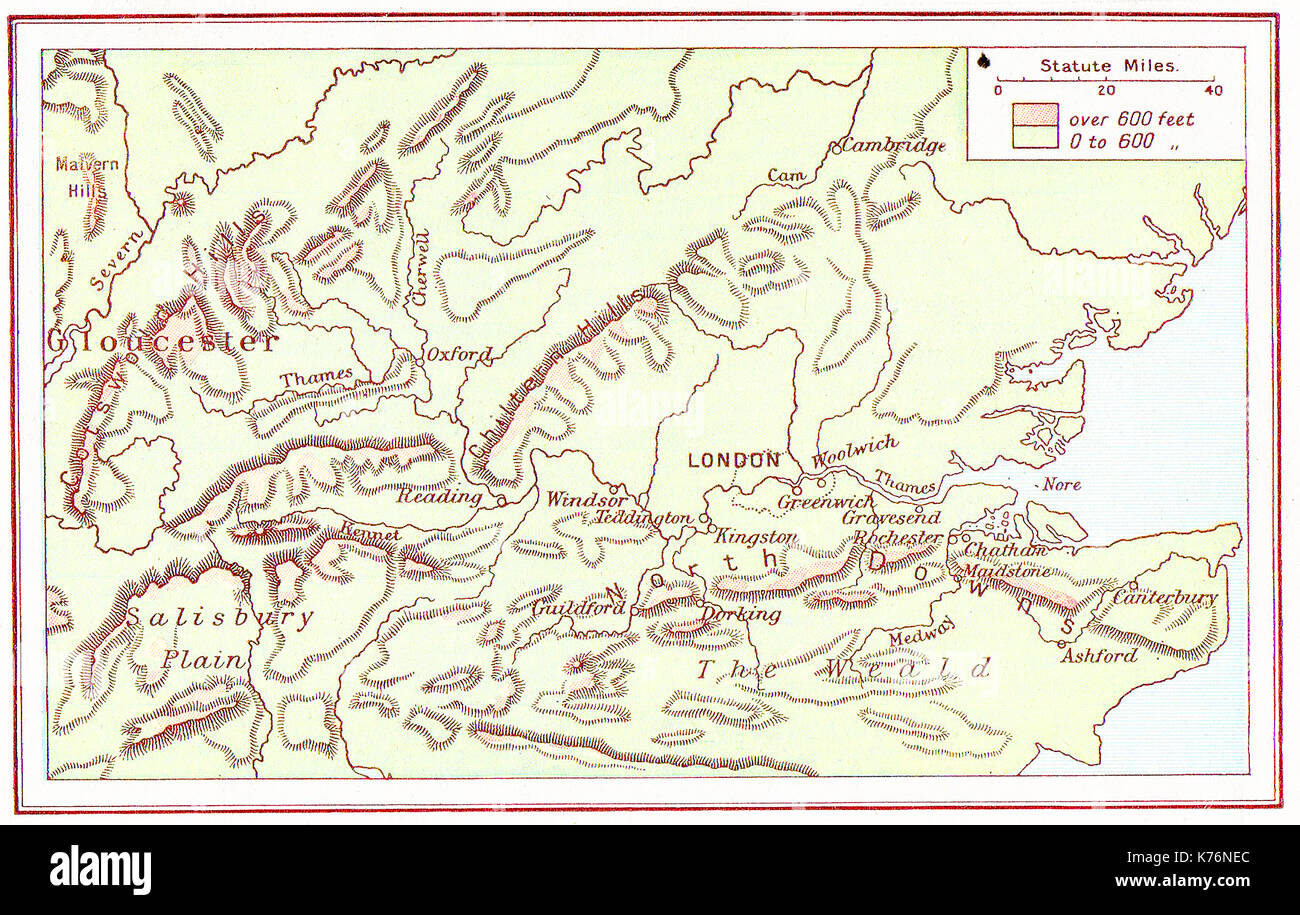 A 1914 vintage colour map of the Thames Basin, UK Stock Photohttps://www.alamy.com/image-license-details/?v=1https://www.alamy.com/a-1914-vintage-colour-map-of-the-thames-basin-uk-image159344484.html
RMK76NEC–A 1914 vintage colour map of the Thames Basin, UK
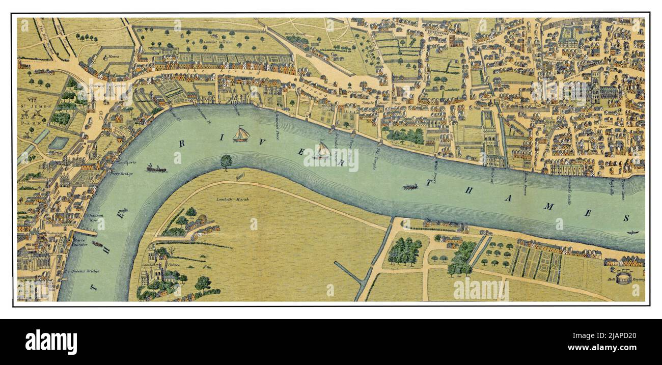 A lithographic map of London and the River Thames from 'Society in the Elizabethan age' by Hubert Hall. Published in London by : Sonnenschein in 1886 Stock Photohttps://www.alamy.com/image-license-details/?v=1https://www.alamy.com/a-lithographic-map-of-london-and-the-river-thames-from-society-in-the-elizabethan-age-by-hubert-hall-published-in-london-by-sonnenschein-in-1886-image471319688.html
RM2JAPD20–A lithographic map of London and the River Thames from 'Society in the Elizabethan age' by Hubert Hall. Published in London by : Sonnenschein in 1886
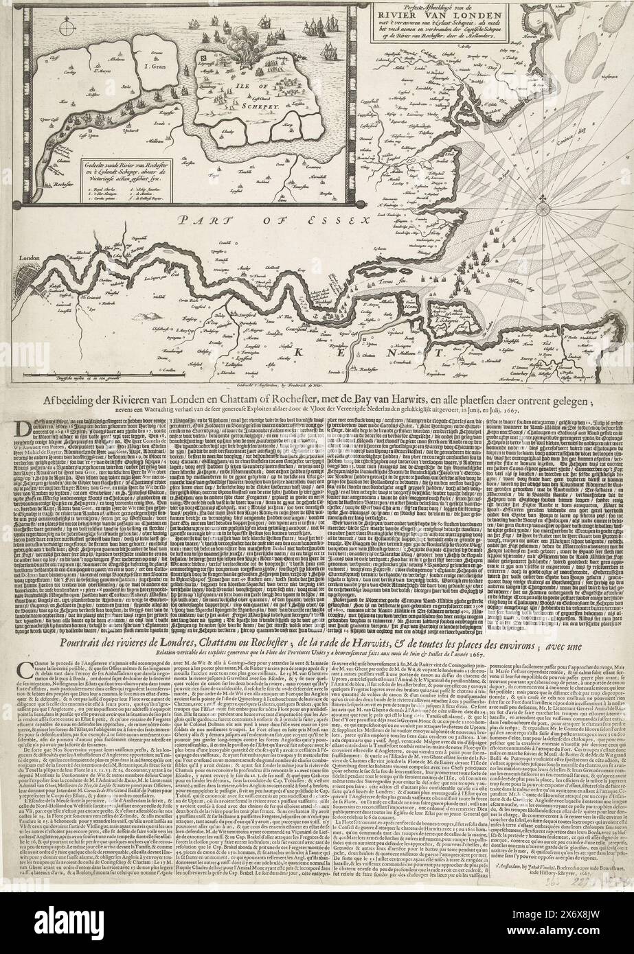 Map of the Thames Estuary with the Journey to Chatham, 1667, Perfect Depiction of the River of London with the Capture of 't Eylandt Schapei (...) (title on object), Depiction of the Rivers of London and Chattam of Rochester, with the Bay of Harwits, and all the places around it (...) (title on object), Pourtraict des Rivieres de Londres, Chattam ou Rochester; de la rade de Harwits, & de toutes les places des environs (...) (title on object), Map of the mouth of the Thames showing the Journey to Chatham by the Dutch fleet under Admiral De Ruyter, 20-23 June 1667. Top left an inset with a Stock Photohttps://www.alamy.com/image-license-details/?v=1https://www.alamy.com/map-of-the-thames-estuary-with-the-journey-to-chatham-1667-perfect-depiction-of-the-river-of-london-with-the-capture-of-t-eylandt-schapei-title-on-object-depiction-of-the-rivers-of-london-and-chattam-of-rochester-with-the-bay-of-harwits-and-all-the-places-around-it-title-on-object-pourtraict-des-rivieres-de-londres-chattam-ou-rochester-de-la-rade-de-harwits-de-toutes-les-places-des-environs-title-on-object-map-of-the-mouth-of-the-thames-showing-the-journey-to-chatham-by-the-dutch-fleet-under-admiral-de-ruyter-20-23-june-1667-top-left-an-inset-with-a-image606628369.html
RM2X6X8JW–Map of the Thames Estuary with the Journey to Chatham, 1667, Perfect Depiction of the River of London with the Capture of 't Eylandt Schapei (...) (title on object), Depiction of the Rivers of London and Chattam of Rochester, with the Bay of Harwits, and all the places around it (...) (title on object), Pourtraict des Rivieres de Londres, Chattam ou Rochester; de la rade de Harwits, & de toutes les places des environs (...) (title on object), Map of the mouth of the Thames showing the Journey to Chatham by the Dutch fleet under Admiral De Ruyter, 20-23 June 1667. Top left an inset with a
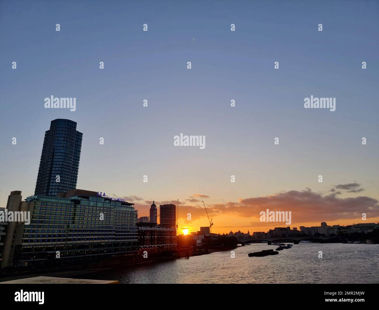 River Thames glides past London at sunset. England. Stock Photohttps://www.alamy.com/image-license-details/?v=1https://www.alamy.com/river-thames-glides-past-london-at-sunset-england-image513297873.html
RM2MR2MJW–River Thames glides past London at sunset. England.
 A map of Fulham in 1813 (1911). Artist: Unknown. Stock Photohttps://www.alamy.com/image-license-details/?v=1https://www.alamy.com/a-map-of-fulham-in-1813-1911-artist-unknown-image262787246.html
RMW7EYPP–A map of Fulham in 1813 (1911). Artist: Unknown.
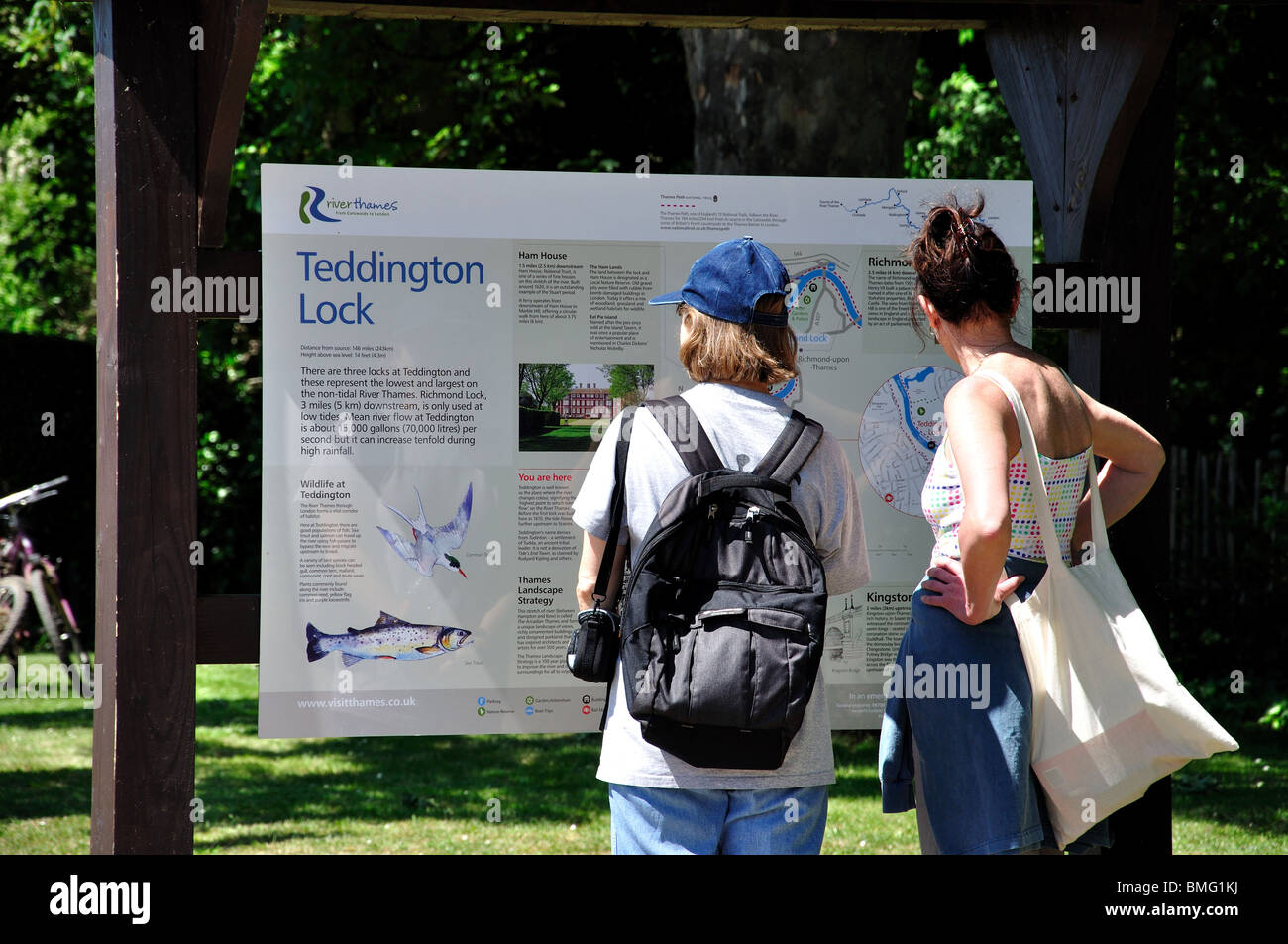 Women looking at area map, Teddington Lock, London Borough of Richmond upon Thames, Greater London, England, United Kingdom Stock Photohttps://www.alamy.com/image-license-details/?v=1https://www.alamy.com/stock-photo-women-looking-at-area-map-teddington-lock-london-borough-of-richmond-29856054.html
RMBMG1KJ–Women looking at area map, Teddington Lock, London Borough of Richmond upon Thames, Greater London, England, United Kingdom
 Map of the city of London and county of Middlesex, circa 1600. London shown as clutch of churches, surrounded by parishes Kensington, Chelsey, St. Gylles, Lambeth, Southwork, Hampton Court, on the River Thames, Hyde Park and Marybon Park. With title Middle-Sexia in cartouche and coat of arms. Handcoloured copperplate engraving by Johannes Blaeu from Geographiae Volumen Quintum quo Angliae, county atlas of England and Wales, Amsterdam, 1662. Stock Photohttps://www.alamy.com/image-license-details/?v=1https://www.alamy.com/map-of-the-city-of-london-and-county-of-middlesex-circa-1600-london-shown-as-clutch-of-churches-surrounded-by-parishes-kensington-chelsey-st-gylles-lambeth-southwork-hampton-court-on-the-river-thames-hyde-park-and-marybon-park-with-title-middle-sexia-in-cartouche-and-coat-of-arms-handcoloured-copperplate-engraving-by-johannes-blaeu-from-geographiae-volumen-quintum-quo-angliae-county-atlas-of-england-and-wales-amsterdam-1662-image469155520.html
RM2J77TJ8–Map of the city of London and county of Middlesex, circa 1600. London shown as clutch of churches, surrounded by parishes Kensington, Chelsey, St. Gylles, Lambeth, Southwork, Hampton Court, on the River Thames, Hyde Park and Marybon Park. With title Middle-Sexia in cartouche and coat of arms. Handcoloured copperplate engraving by Johannes Blaeu from Geographiae Volumen Quintum quo Angliae, county atlas of England and Wales, Amsterdam, 1662.
 Engraving depicting a plan of the docks at London in 1808. Stock Photohttps://www.alamy.com/image-license-details/?v=1https://www.alamy.com/engraving-depicting-a-plan-of-the-docks-at-london-in-1808-image377040924.html
RM2CWBKF8–Engraving depicting a plan of the docks at London in 1808.
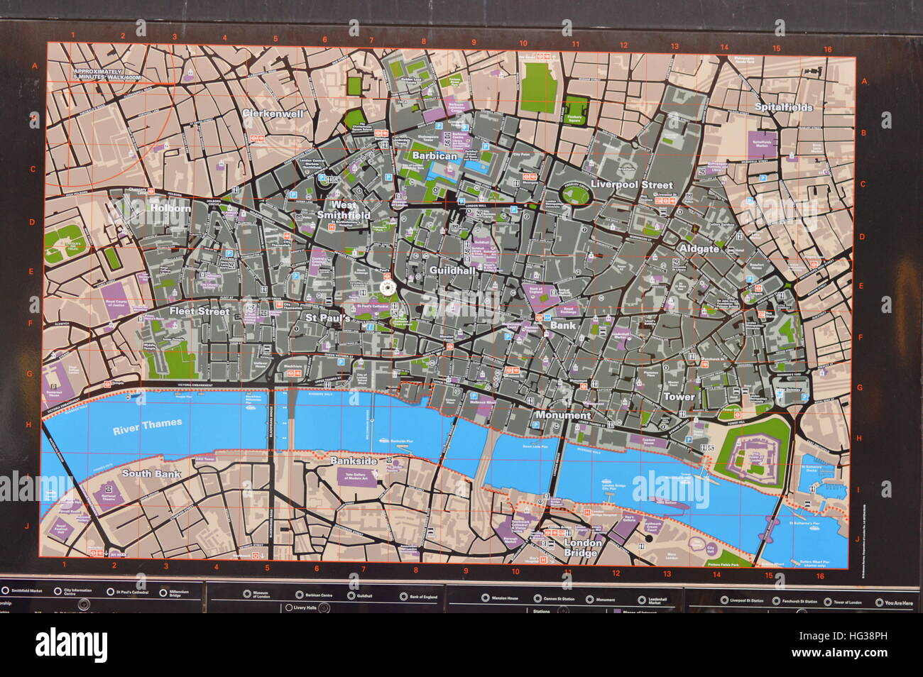 Information map showing way along the River Thames Stock Photohttps://www.alamy.com/image-license-details/?v=1https://www.alamy.com/stock-photo-information-map-showing-way-along-the-river-thames-130379833.html
RMHG38PH–Information map showing way along the River Thames
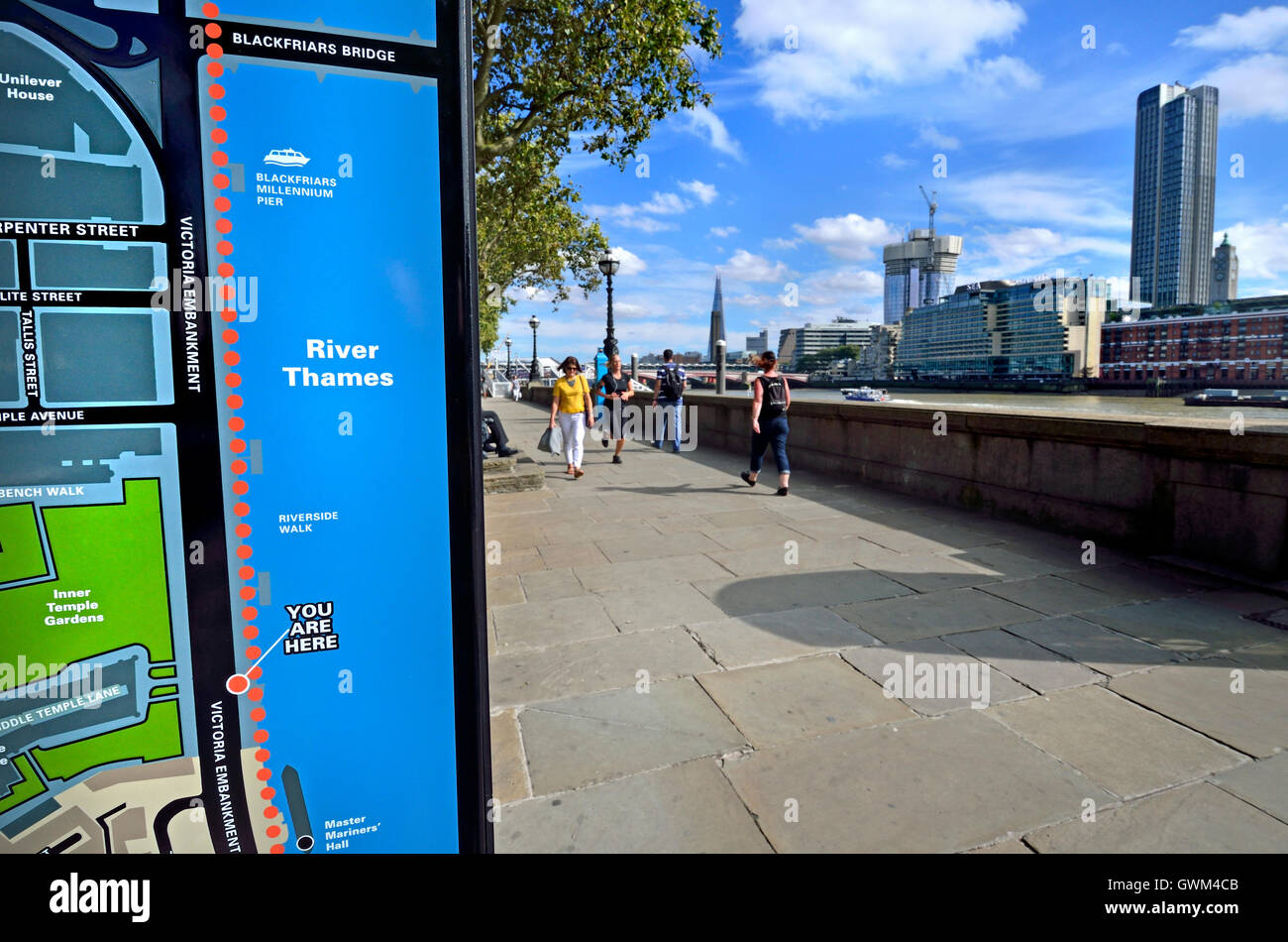 London, England, UK. 'You are here' tourist information map on the Victoria Embankment by the River Thames. Stock Photohttps://www.alamy.com/image-license-details/?v=1https://www.alamy.com/stock-photo-london-england-uk-you-are-here-tourist-information-map-on-the-victoria-119071131.html
RMGWM4CB–London, England, UK. 'You are here' tourist information map on the Victoria Embankment by the River Thames.
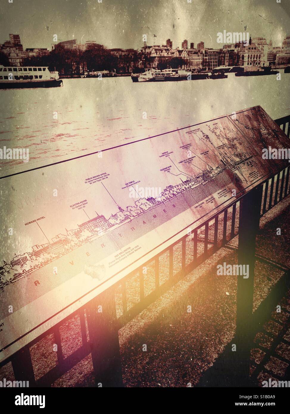 Information map for tourists by river Thames, south bank, London Stock Photohttps://www.alamy.com/image-license-details/?v=1https://www.alamy.com/stock-photo-information-map-for-tourists-by-river-thames-south-bank-london-310643041.html
RFS1B0A9–Information map for tourists by river Thames, south bank, London
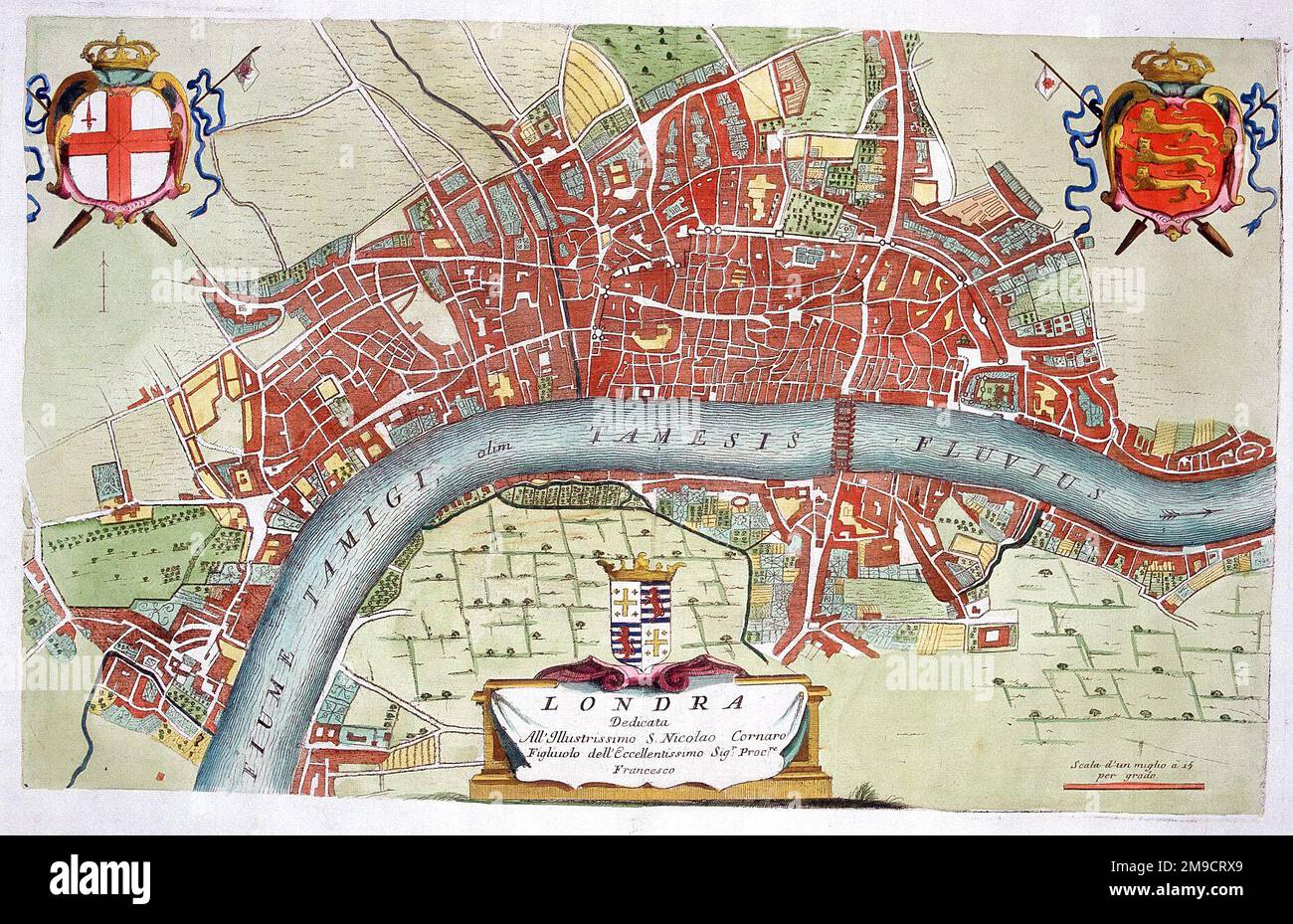 18th century Map of London and the River Thames Stock Photohttps://www.alamy.com/image-license-details/?v=1https://www.alamy.com/18th-century-map-of-london-and-the-river-thames-image504914769.html
RM2M9CRX9–18th century Map of London and the River Thames
 River Thames Map, Caversham Lock, River Thames, Caversham, Reading, Berkshire, England. UK, GB. Stock Photohttps://www.alamy.com/image-license-details/?v=1https://www.alamy.com/stock-photo-river-thames-map-caversham-lock-river-thames-caversham-reading-berkshire-172572699.html
RMM0NA6K–River Thames Map, Caversham Lock, River Thames, Caversham, Reading, Berkshire, England. UK, GB.
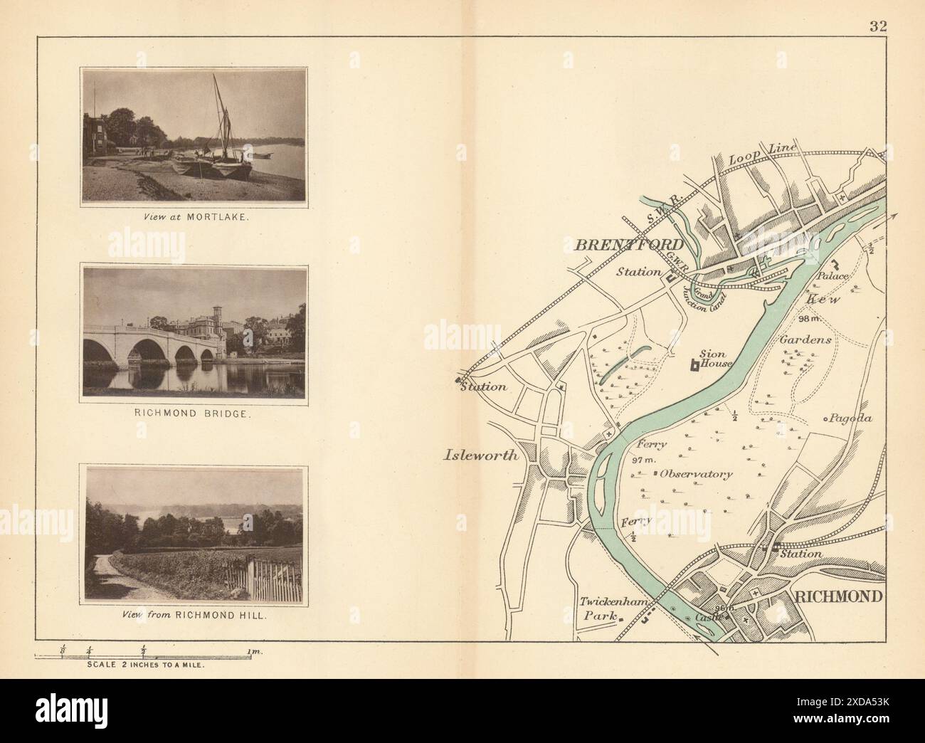 RIVER THAMES - Richmond - Isleworth - Brentford. Mortlake. TAUNT 1887 old map Stock Photohttps://www.alamy.com/image-license-details/?v=1https://www.alamy.com/river-thames-richmond-isleworth-brentford-mortlake-taunt-1887-old-map-image610576951.html
RF2XDA53K–RIVER THAMES - Richmond - Isleworth - Brentford. Mortlake. TAUNT 1887 old map
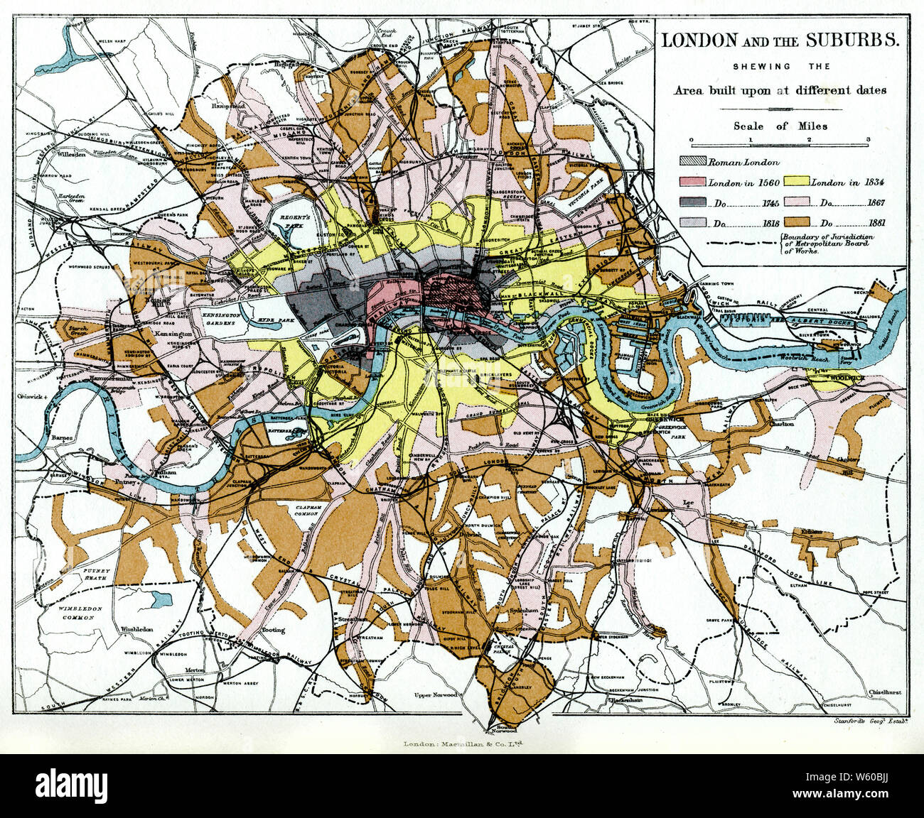 London and the Suburbs, c1903. Stock Photohttps://www.alamy.com/image-license-details/?v=1https://www.alamy.com/london-and-the-suburbs-c1903-image261852602.html
RMW60BJJ–London and the Suburbs, c1903.
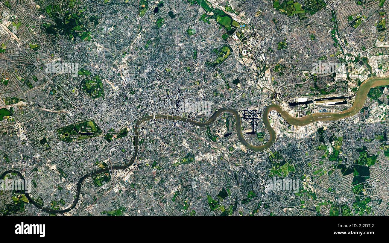 Top view of London, the Capital city, London map, Aerial view of Hyde Park, Buckingham Palace, River Thames. Elements of this image furnished by NASA Stock Photohttps://www.alamy.com/image-license-details/?v=1https://www.alamy.com/top-view-of-london-the-capital-city-london-map-aerial-view-of-hyde-park-buckingham-palace-river-thames-elements-of-this-image-furnished-by-nasa-image466213946.html
RF2J2DTJ2–Top view of London, the Capital city, London map, Aerial view of Hyde Park, Buckingham Palace, River Thames. Elements of this image furnished by NASA
 sign with map for local points of interest on the thames path, with kew bridge, on the river thames in west london, england, in the background Stock Photohttps://www.alamy.com/image-license-details/?v=1https://www.alamy.com/sign-with-map-for-local-points-of-interest-on-the-thames-path-with-kew-bridge-on-the-river-thames-in-west-london-england-in-the-background-image365840174.html
RM2C75CTE–sign with map for local points of interest on the thames path, with kew bridge, on the river thames in west london, england, in the background
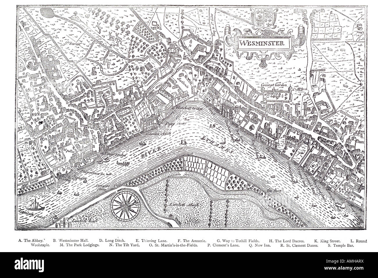 1593 plan Westminster map cartographic river Thames London Greater capital city England English Britain British UK United Kingdo Stock Photohttps://www.alamy.com/image-license-details/?v=1https://www.alamy.com/stock-photo-1593-plan-westminster-map-cartographic-river-thames-london-greater-15266557.html
RFAMHARX–1593 plan Westminster map cartographic river Thames London Greater capital city England English Britain British UK United Kingdo
 This is a detailed etching of London, showcasing a birds-eye view of the city from across the River Thames. Notable landmarks are visible, including St. Pauls Cathedral, the Tower of London, and London Bridge. The image is accompanied by a caption and numbered key identifying various buildings and locations. Stock Photohttps://www.alamy.com/image-license-details/?v=1https://www.alamy.com/this-is-a-detailed-etching-of-london-showcasing-a-birds-eye-view-of-the-city-from-across-the-river-thames-notable-landmarks-are-visible-including-st-pauls-cathedral-the-tower-of-london-and-london-bridge-the-image-is-accompanied-by-a-caption-and-numbered-key-identifying-various-buildings-and-locations-image610015652.html
RM2XCCH58–This is a detailed etching of London, showcasing a birds-eye view of the city from across the River Thames. Notable landmarks are visible, including St. Pauls Cathedral, the Tower of London, and London Bridge. The image is accompanied by a caption and numbered key identifying various buildings and locations.
 The Duchess of Cornwall puts on glasses to study a map of the river Thames, while talking to Hungarian school children on the outskirts of Budapest, Hungary, during day four of the Prince of Wales and Duchess's tour of Europe. Stock Photohttps://www.alamy.com/image-license-details/?v=1https://www.alamy.com/stock-photo-the-duchess-of-cornwall-puts-on-glasses-to-study-a-map-of-the-river-110938506.html
RMGCDK5E–The Duchess of Cornwall puts on glasses to study a map of the river Thames, while talking to Hungarian school children on the outskirts of Budapest, Hungary, during day four of the Prince of Wales and Duchess's tour of Europe.
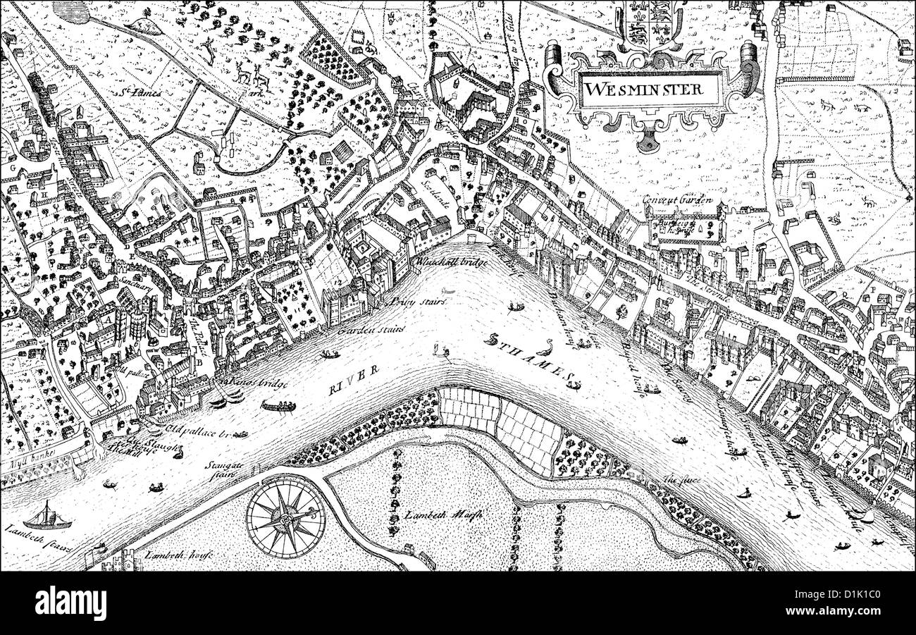 city map of Westminster with the River Thames, 17th century, a district of London, England, Europe Stock Photohttps://www.alamy.com/image-license-details/?v=1https://www.alamy.com/stock-photo-city-map-of-westminster-with-the-river-thames-17th-century-a-district-52663968.html
RMD1K1C0–city map of Westminster with the River Thames, 17th century, a district of London, England, Europe
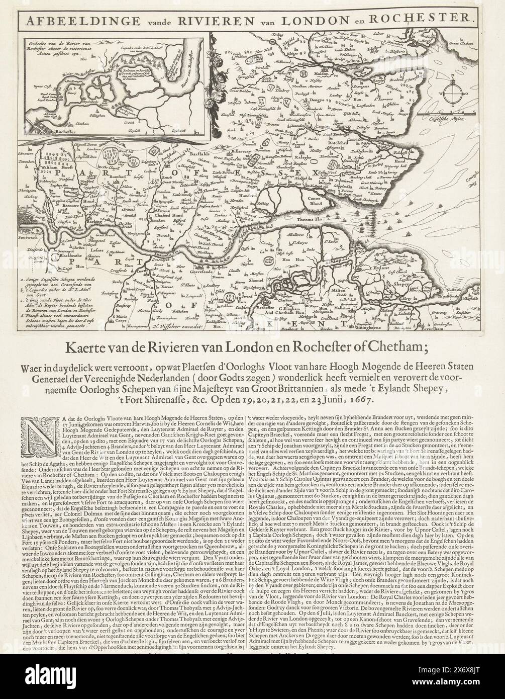 Map of the Thames Estuary with the Journey to Chatham, 1667, Image of the Rivers of London and Rochester (title on object), Map of the Rivers of London and Rochester or Chetham; Where in duydelick is shown, on what Plaetsen d'Oorloghs Fleet of Her Highness the Lords of the United States (...), Map of the mouth of the Thames showing the Journey to Chatham by the ships of the Dutch fleet under Admiral De Ruyter is indicated, 20-23 June 1667. Top left an inset with a detailed map of the River Medway. A description is printed in 2 columns under the plate., print, print maker: anonymous, publisher Stock Photohttps://www.alamy.com/image-license-details/?v=1https://www.alamy.com/map-of-the-thames-estuary-with-the-journey-to-chatham-1667-image-of-the-rivers-of-london-and-rochester-title-on-object-map-of-the-rivers-of-london-and-rochester-or-chetham-where-in-duydelick-is-shown-on-what-plaetsen-doorloghs-fleet-of-her-highness-the-lords-of-the-united-states-map-of-the-mouth-of-the-thames-showing-the-journey-to-chatham-by-the-ships-of-the-dutch-fleet-under-admiral-de-ruyter-is-indicated-20-23-june-1667-top-left-an-inset-with-a-detailed-map-of-the-river-medway-a-description-is-printed-in-2-columns-under-the-plate-print-print-maker-anonymous-publisher-image606628368.html
RM2X6X8JT–Map of the Thames Estuary with the Journey to Chatham, 1667, Image of the Rivers of London and Rochester (title on object), Map of the Rivers of London and Rochester or Chetham; Where in duydelick is shown, on what Plaetsen d'Oorloghs Fleet of Her Highness the Lords of the United States (...), Map of the mouth of the Thames showing the Journey to Chatham by the ships of the Dutch fleet under Admiral De Ruyter is indicated, 20-23 June 1667. Top left an inset with a detailed map of the River Medway. A description is printed in 2 columns under the plate., print, print maker: anonymous, publisher
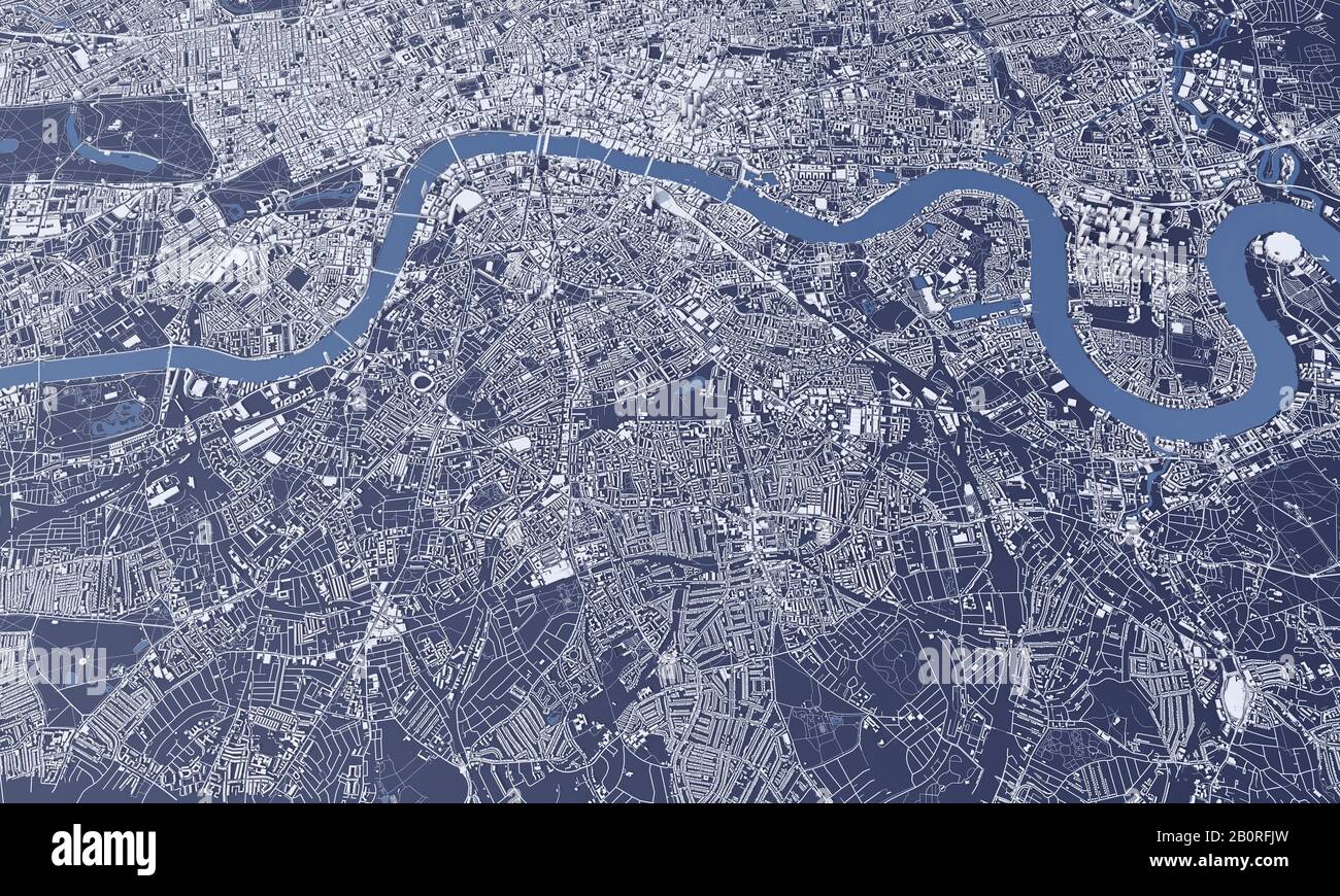 London city map 3D Rendering. Aerial satellite view. Stock Photohttps://www.alamy.com/image-license-details/?v=1https://www.alamy.com/london-city-map-3d-rendering-aerial-satellite-view-image344724545.html
RF2B0RFJW–London city map 3D Rendering. Aerial satellite view.
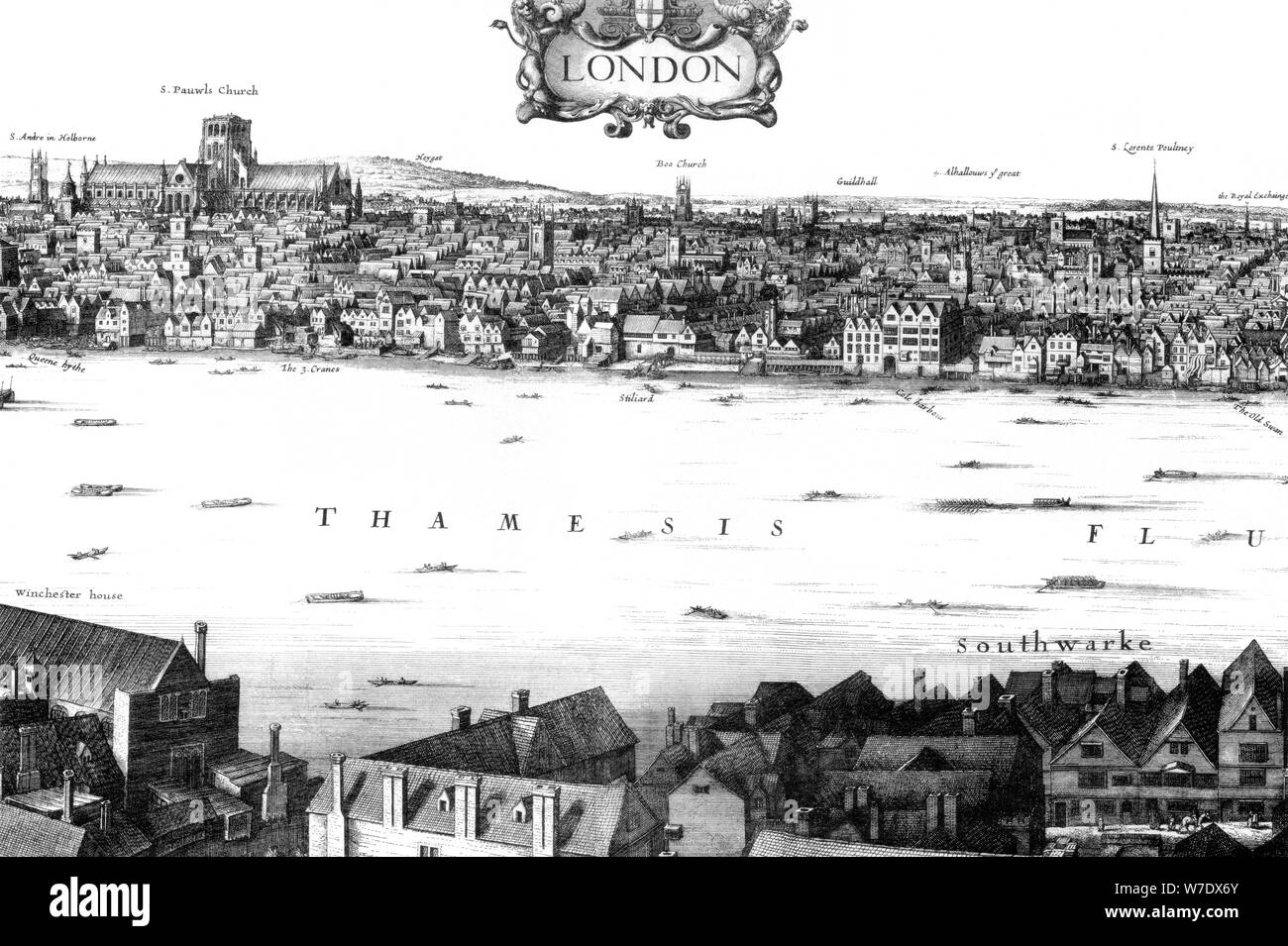 View of London and the Thames from South Bank, 17th century (1886).Artist: William Griggs Stock Photohttps://www.alamy.com/image-license-details/?v=1https://www.alamy.com/view-of-london-and-the-thames-from-south-bank-17th-century-1886artist-william-griggs-image262764067.html
RMW7DX6Y–View of London and the Thames from South Bank, 17th century (1886).Artist: William Griggs
 England, London, Street Map of the Thames Area between London Bridge and Tower Bridge Stock Photohttps://www.alamy.com/image-license-details/?v=1https://www.alamy.com/england-london-street-map-of-the-thames-area-between-london-bridge-and-tower-bridge-image472394547.html
RM2JCFC1R–England, London, Street Map of the Thames Area between London Bridge and Tower Bridge
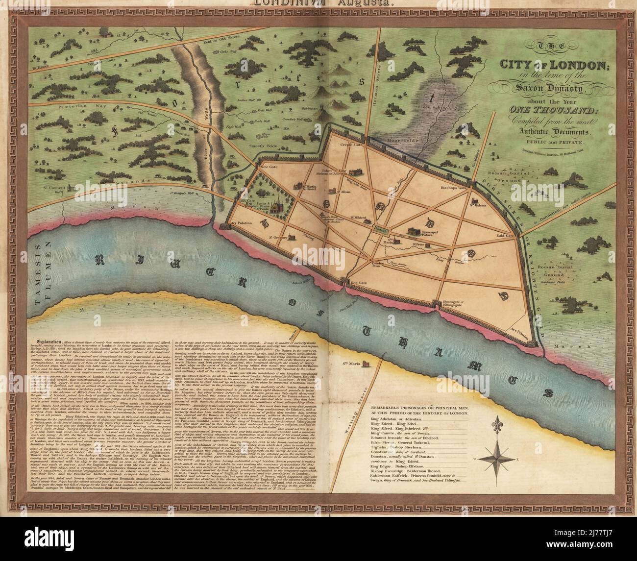 Map of London in the Anglo-Saxon era, circa 1000 AD. Walled town with Palace of King Athelstan, churches, gates (Creple, New, Lud, Doe, Bischops, Eald, Billingsgate), surrounded by fields, wells, and Roman burial grounds on the River Thames. City of London in the time of the Saxon Dynasty about the year 1000. Compiled from the most authentic documents, public and private. Handcoloured copperplate engraving published by William Darton, 58 Holborn Hill, London. circa 1810. Stock Photohttps://www.alamy.com/image-license-details/?v=1https://www.alamy.com/map-of-london-in-the-anglo-saxon-era-circa-1000-ad-walled-town-with-palace-of-king-athelstan-churches-gates-creple-new-lud-doe-bischops-eald-billingsgate-surrounded-by-fields-wells-and-roman-burial-grounds-on-the-river-thames-city-of-london-in-the-time-of-the-saxon-dynasty-about-the-year-1000-compiled-from-the-most-authentic-documents-public-and-private-handcoloured-copperplate-engraving-published-by-william-darton-58-holborn-hill-london-circa-1810-image469155519.html
RM2J77TJ7–Map of London in the Anglo-Saxon era, circa 1000 AD. Walled town with Palace of King Athelstan, churches, gates (Creple, New, Lud, Doe, Bischops, Eald, Billingsgate), surrounded by fields, wells, and Roman burial grounds on the River Thames. City of London in the time of the Saxon Dynasty about the year 1000. Compiled from the most authentic documents, public and private. Handcoloured copperplate engraving published by William Darton, 58 Holborn Hill, London. circa 1810.
 Panoramic map of the River Thames, 1850. Artist: Anon Stock Photohttps://www.alamy.com/image-license-details/?v=1https://www.alamy.com/panoramic-map-of-the-river-thames-1850-artist-anon-image60102498.html
RMDDNW9P–Panoramic map of the River Thames, 1850. Artist: Anon
 Pocket plan, map of the Cities of London, Westminster & Borough of Southwark, with new buildings, 1771, by J. Ellis Stock Photohttps://www.alamy.com/image-license-details/?v=1https://www.alamy.com/stock-photo-pocket-plan-map-of-the-cities-of-london-westminster-borough-of-southwark-72011388.html
RME54B78–Pocket plan, map of the Cities of London, Westminster & Borough of Southwark, with new buildings, 1771, by J. Ellis
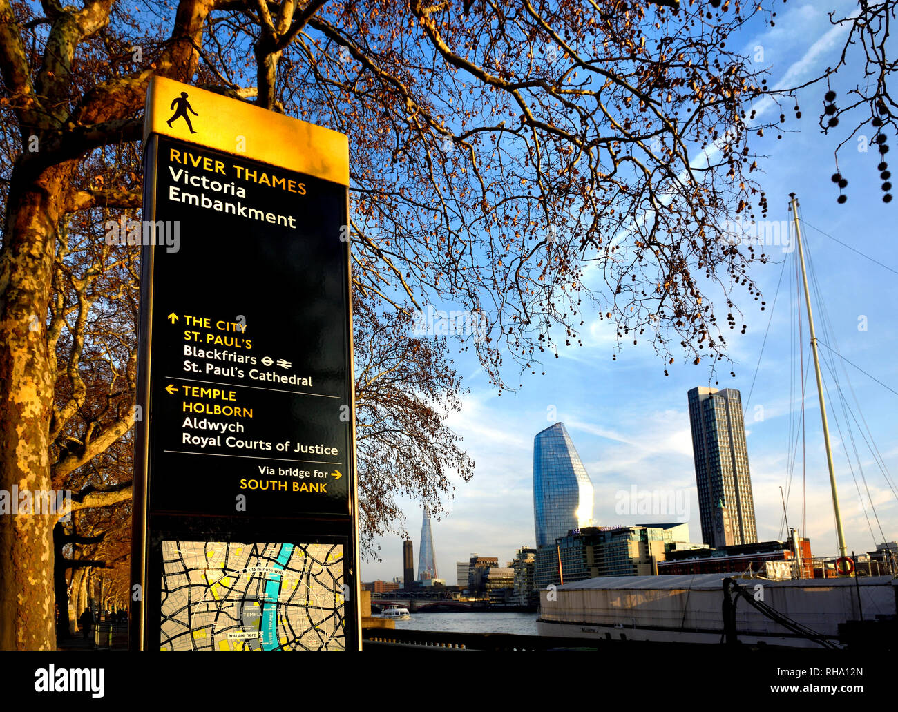 London, England, UK. River Thames, tourist information map and buildings on the South Bank seen from the Victoria Embankment. Stock Photohttps://www.alamy.com/image-license-details/?v=1https://www.alamy.com/london-england-uk-river-thames-tourist-information-map-and-buildings-on-the-south-bank-seen-from-the-victoria-embankment-image234404317.html
RMRHA12N–London, England, UK. River Thames, tourist information map and buildings on the South Bank seen from the Victoria Embankment.
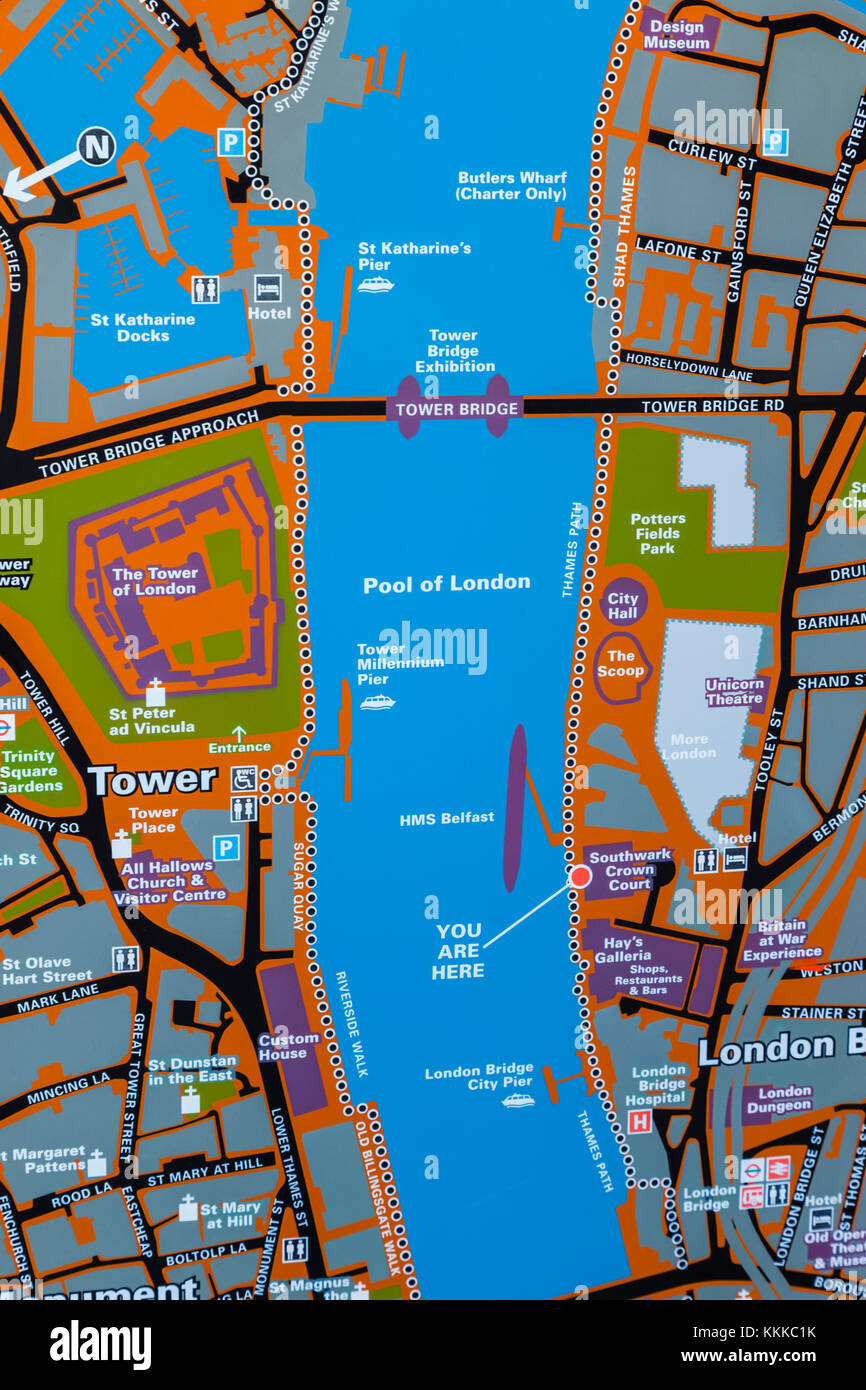 England, London, City of London, Street Map of The Tower of London and River Thames Area Stock Photohttps://www.alamy.com/image-license-details/?v=1https://www.alamy.com/stock-image-england-london-city-of-london-street-map-of-the-tower-of-london-and-166998319.html
RMKKKC1K–England, London, City of London, Street Map of The Tower of London and River Thames Area
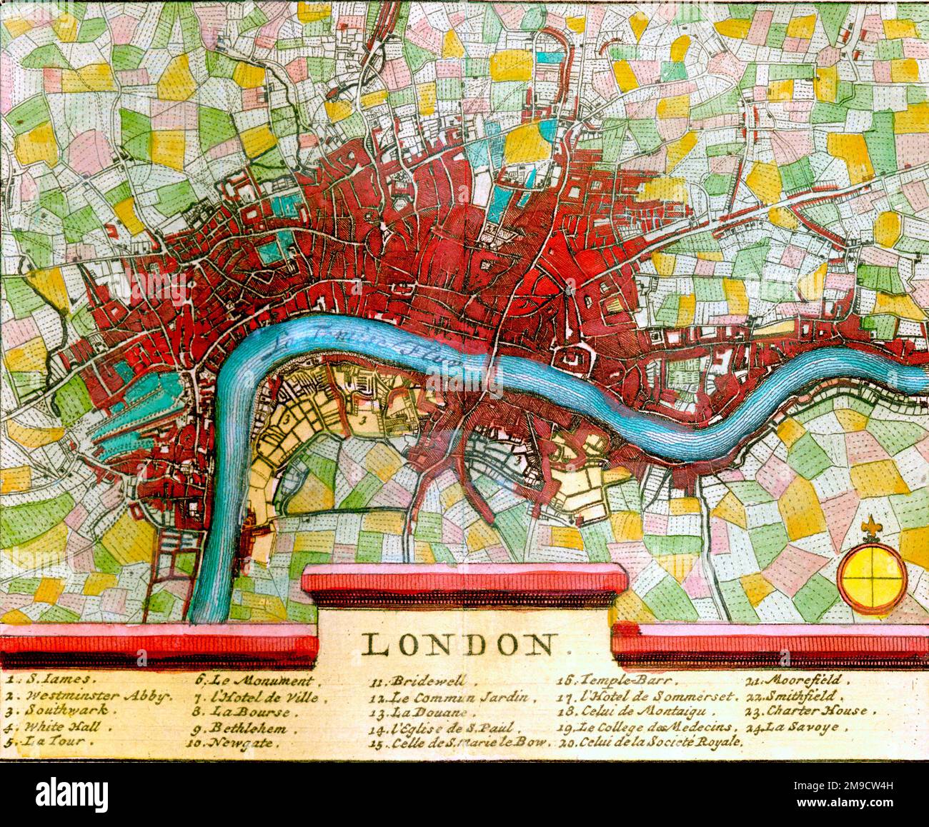 18th century Map of London and River Thames, England Stock Photohttps://www.alamy.com/image-license-details/?v=1https://www.alamy.com/18th-century-map-of-london-and-river-thames-england-image504915729.html
RM2M9CW4H–18th century Map of London and River Thames, England
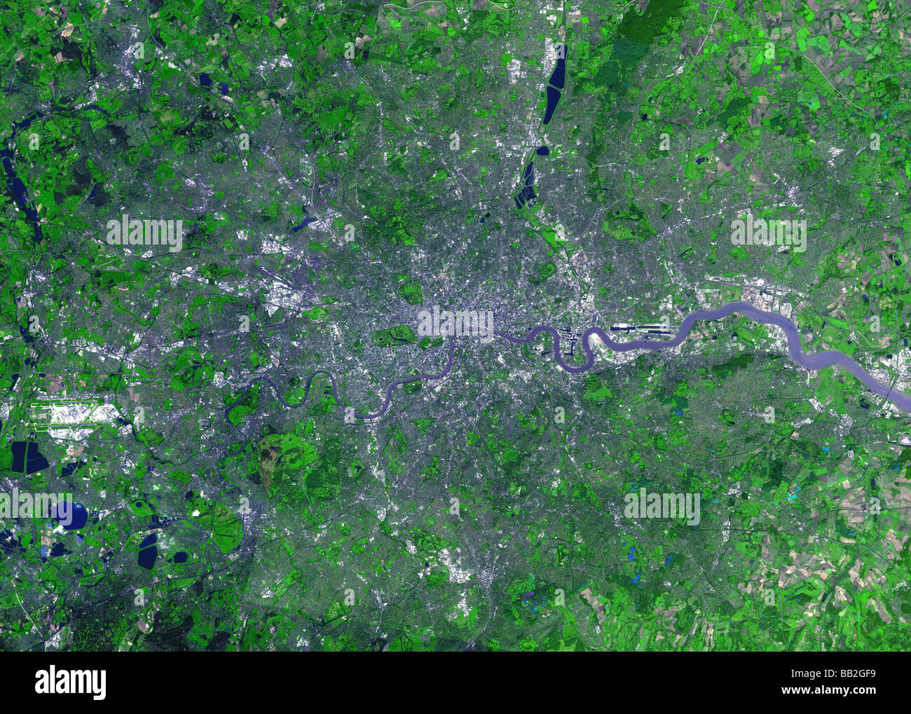 images credit NASA/JPL Stock Photohttps://www.alamy.com/image-license-details/?v=1https://www.alamy.com/stock-photo-images-credit-nasajpl-24028461.html
RMBB2GF9–images credit NASA/JPL
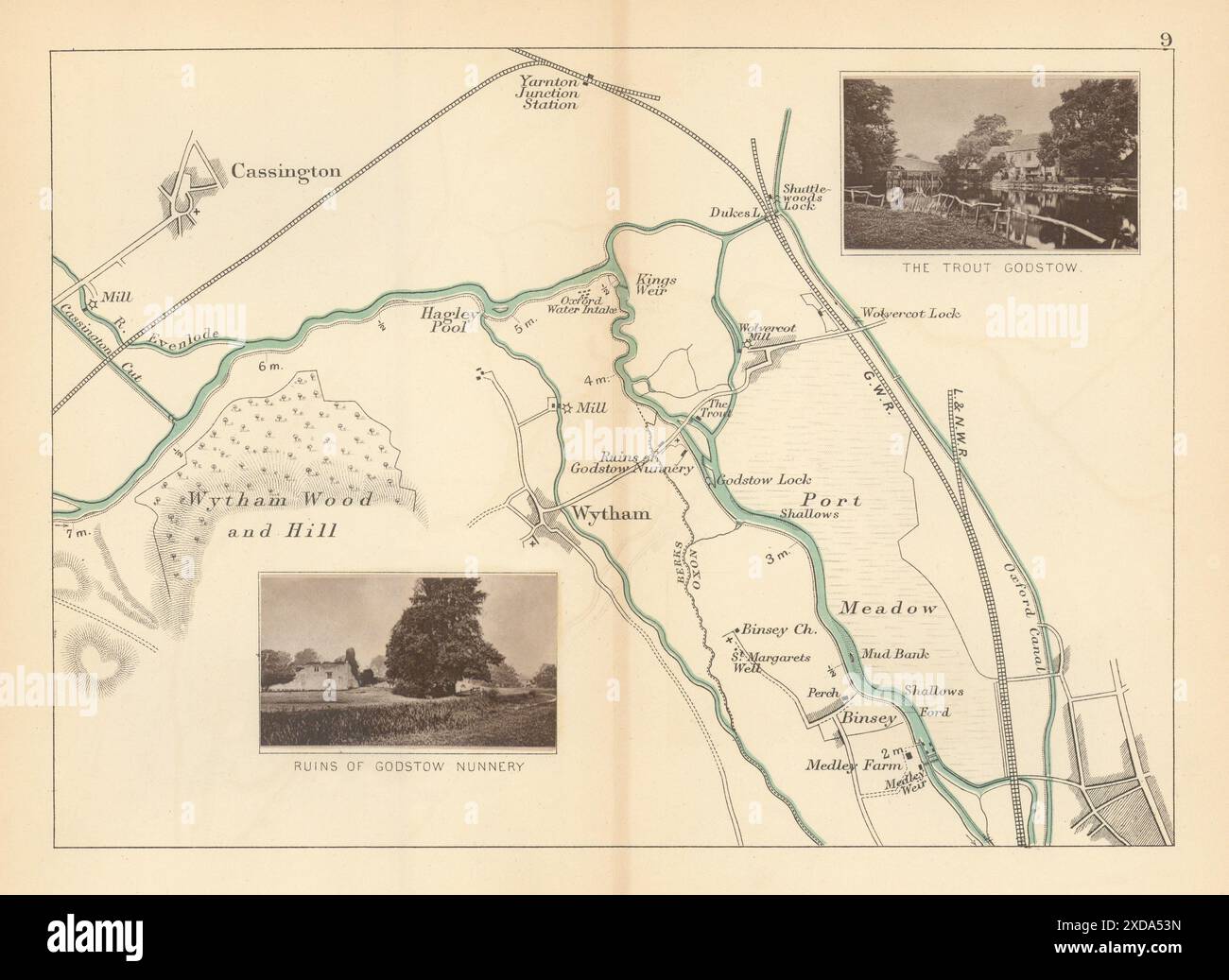 RIVER THAMES - Cassington - Wytham - Godstow - Binsey. The Trout. TAUNT 1887 map Stock Photohttps://www.alamy.com/image-license-details/?v=1https://www.alamy.com/river-thames-cassington-wytham-godstow-binsey-the-trout-taunt-1887-map-image610576953.html
RF2XDA53N–RIVER THAMES - Cassington - Wytham - Godstow - Binsey. The Trout. TAUNT 1887 map
 Westminster from the river, 1647. By Wenceslaus Hollar (1607-1677). An etching from Wenceslaus Hollar's 'London Views' series. Stock Photohttps://www.alamy.com/image-license-details/?v=1https://www.alamy.com/westminster-from-the-river-1647-by-wenceslaus-hollar1607-1677-an-etching-from-wenceslaus-hollars-london-views-series-image261852620.html
RMW60BK8–Westminster from the river, 1647. By Wenceslaus Hollar (1607-1677). An etching from Wenceslaus Hollar's 'London Views' series.
 River thames estuary in Great Britain seen from space - contains modified Copernicus Sentinel data Stock Photohttps://www.alamy.com/image-license-details/?v=1https://www.alamy.com/river-thames-estuary-in-great-britain-seen-from-space-contains-modified-copernicus-sentinel-data-image214384719.html
RFPCP1W3–River thames estuary in Great Britain seen from space - contains modified Copernicus Sentinel data
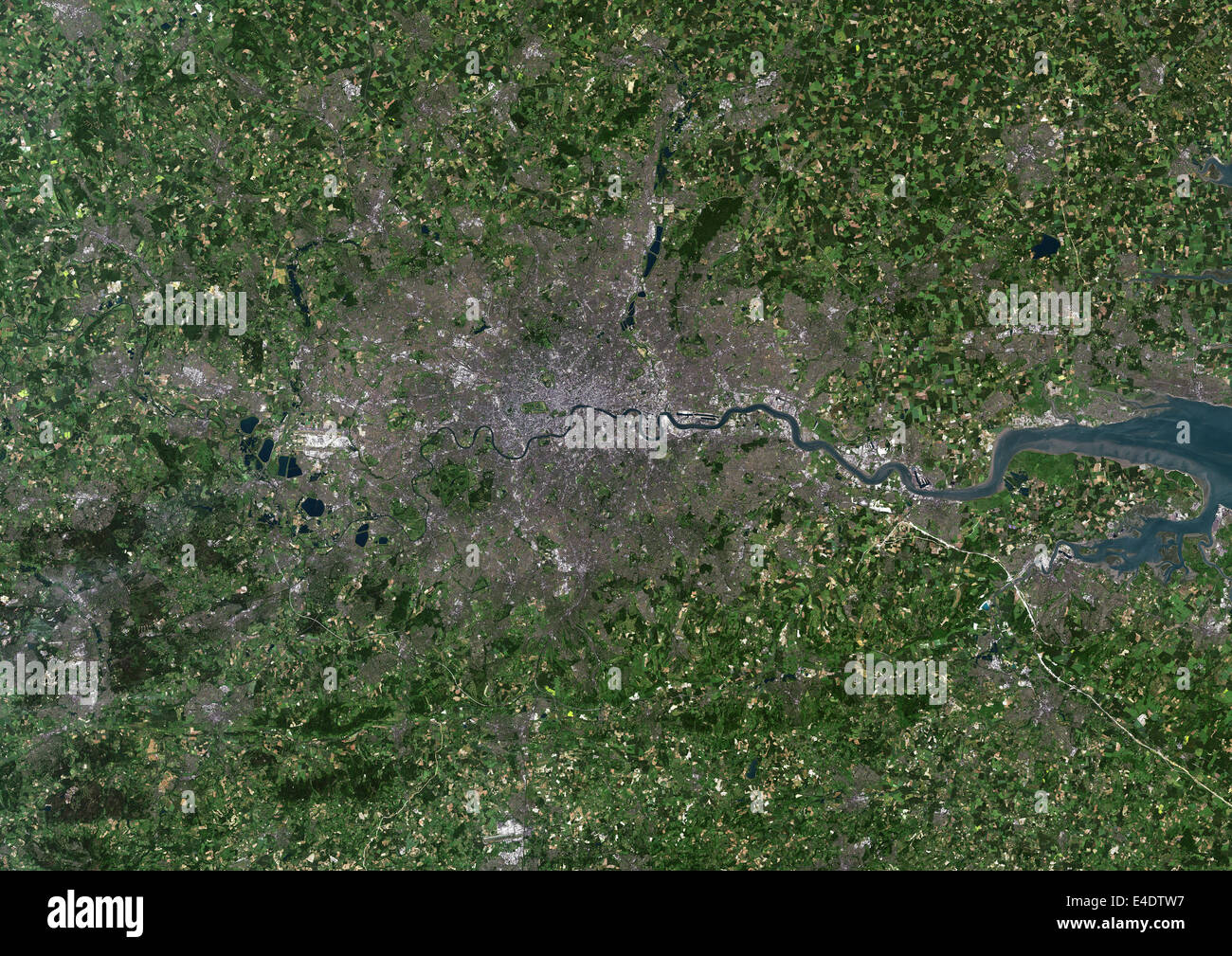 London, Uk, True Colour Satellite Image. London, England, UK. True colour satellite image of London, the capital city of UK. Ima Stock Photohttps://www.alamy.com/image-license-details/?v=1https://www.alamy.com/stock-photo-london-uk-true-colour-satellite-image-london-england-uk-true-colour-71604995.html
RME4DTW7–London, Uk, True Colour Satellite Image. London, England, UK. True colour satellite image of London, the capital city of UK. Ima
 An old map of English canals and waterways as they were in the 1920's (including the first cut made by the Romans on the Foss Dyke) Stock Photohttps://www.alamy.com/image-license-details/?v=1https://www.alamy.com/an-old-map-of-english-canals-and-waterways-as-they-were-in-the-1920s-including-the-first-cut-made-by-the-romans-on-the-foss-dyke-image246359895.html
RMT8PJFK–An old map of English canals and waterways as they were in the 1920's (including the first cut made by the Romans on the Foss Dyke)
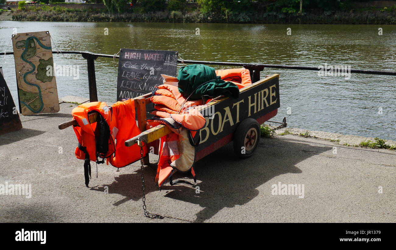 Boat hire equipment by the river thames Stock Photohttps://www.alamy.com/image-license-details/?v=1https://www.alamy.com/boat-hire-equipment-by-the-river-thames-image151844541.html
RFJR1379–Boat hire equipment by the river thames
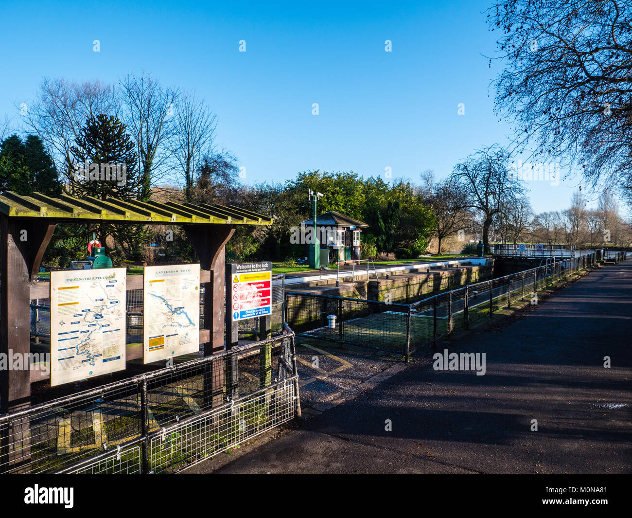 Caversham Lock, River Thames, Caversham, Reading, Berkshire, England. UK, GB. Stock Photohttps://www.alamy.com/image-license-details/?v=1https://www.alamy.com/stock-photo-caversham-lock-river-thames-caversham-reading-berkshire-england-uk-172572737.html
RMM0NA81–Caversham Lock, River Thames, Caversham, Reading, Berkshire, England. UK, GB.
 Old map of London Circa 1880 made by Whitbread now public domain merged with a modern scene from the capital along the Thames. Stock Photohttps://www.alamy.com/image-license-details/?v=1https://www.alamy.com/old-map-of-london-circa-1880-made-by-whitbread-now-public-domain-merged-with-a-modern-scene-from-the-capital-along-the-thames-image483911721.html
RF2K3829D–Old map of London Circa 1880 made by Whitbread now public domain merged with a modern scene from the capital along the Thames.
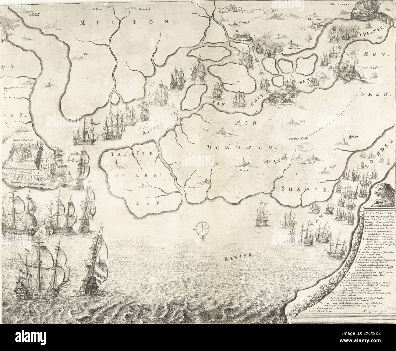 Map of the estuary of the Thames showing the Journey to Chatham, 1667, Map of the estuary of the Thames showing the Journey to Chatham by the ships of the Dutch fleet under Admiral De Ruyter, 20-23 June 1667. On the left, the battle around Sheerness, above the Dutch ships on the River Medway. Bottom right a lion on a pedestal with the legend A-V., print, print maker: Michiel Comans (II), (mentioned on object), publisher: Justus Danckerts, (mentioned on object), print maker: Northern Netherlands, publisher: Amsterdam, 1667, paper, etching, height, 416 mm × width, 509 mm Stock Photohttps://www.alamy.com/image-license-details/?v=1https://www.alamy.com/map-of-the-estuary-of-the-thames-showing-the-journey-to-chatham-1667-map-of-the-estuary-of-the-thames-showing-the-journey-to-chatham-by-the-ships-of-the-dutch-fleet-under-admiral-de-ruyter-20-23-june-1667-on-the-left-the-battle-around-sheerness-above-the-dutch-ships-on-the-river-medway-bottom-right-a-lion-on-a-pedestal-with-the-legend-a-v-print-print-maker-michiel-comans-ii-mentioned-on-object-publisher-justus-danckerts-mentioned-on-object-print-maker-northern-netherlands-publisher-amsterdam-1667-paper-etching-height-416-mm-width-509-mm-image606628374.html
RM2X6X8K2–Map of the estuary of the Thames showing the Journey to Chatham, 1667, Map of the estuary of the Thames showing the Journey to Chatham by the ships of the Dutch fleet under Admiral De Ruyter, 20-23 June 1667. On the left, the battle around Sheerness, above the Dutch ships on the River Medway. Bottom right a lion on a pedestal with the legend A-V., print, print maker: Michiel Comans (II), (mentioned on object), publisher: Justus Danckerts, (mentioned on object), print maker: Northern Netherlands, publisher: Amsterdam, 1667, paper, etching, height, 416 mm × width, 509 mm
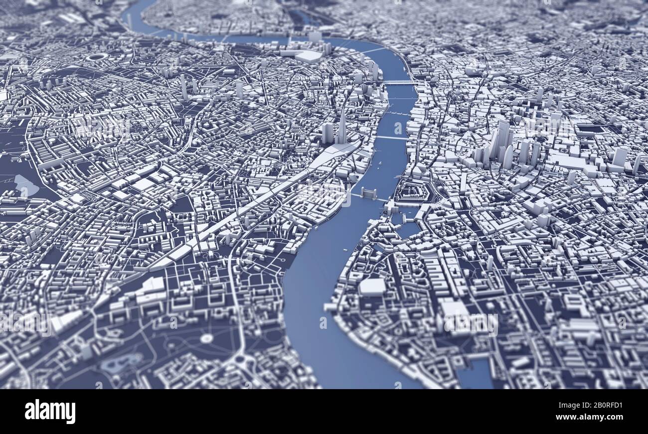 London city map 3D Rendering. Aerial satellite view. Stock Photohttps://www.alamy.com/image-license-details/?v=1https://www.alamy.com/london-city-map-3d-rendering-aerial-satellite-view-image344724381.html
RF2B0RFD1–London city map 3D Rendering. Aerial satellite view.
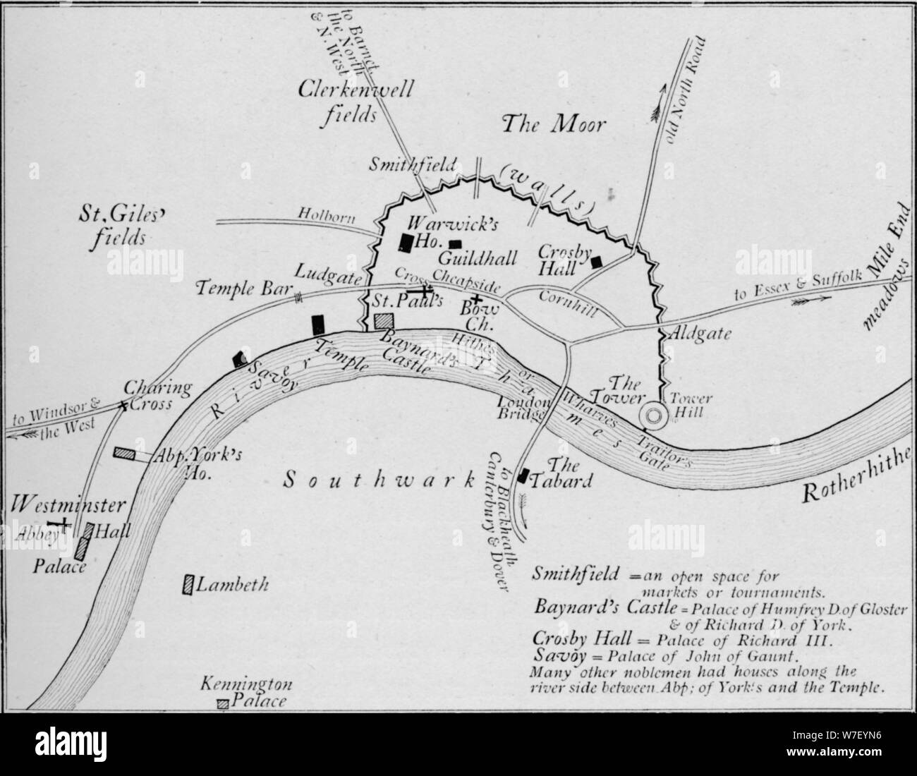 Sketch map of London in the 15th century, 1906. Artist: Unknown. Stock Photohttps://www.alamy.com/image-license-details/?v=1https://www.alamy.com/sketch-map-of-london-in-the-15th-century-1906-artist-unknown-image262787202.html
RMW7EYN6–Sketch map of London in the 15th century, 1906. Artist: Unknown.
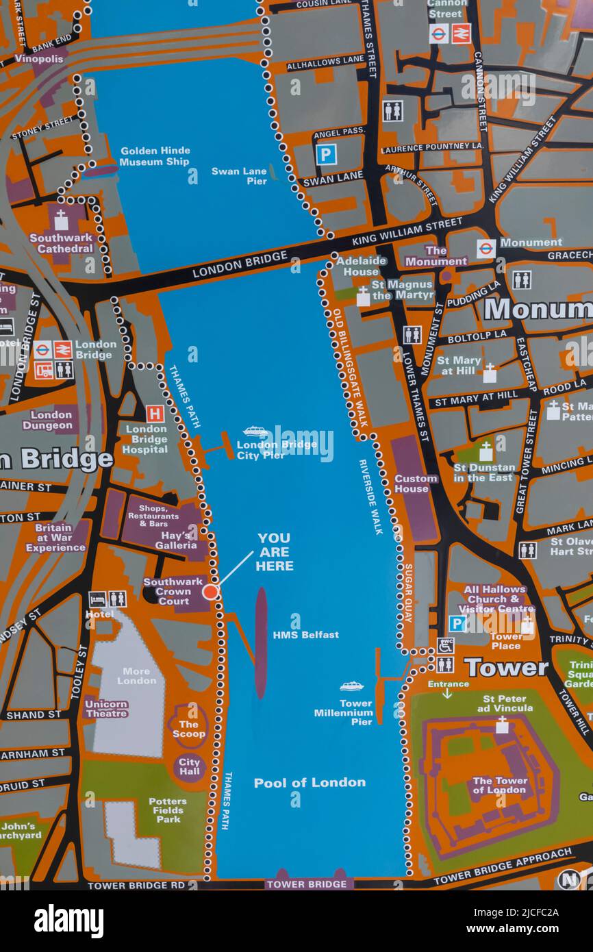 England, London, Street Map of the Thames Area between London Bridge and Tower Bridge Stock Photohttps://www.alamy.com/image-license-details/?v=1https://www.alamy.com/england-london-street-map-of-the-thames-area-between-london-bridge-and-tower-bridge-image472394562.html
RM2JCFC2A–England, London, Street Map of the Thames Area between London Bridge and Tower Bridge
 Walton-on-Thames, South East England, England colorful high resolution vector art map with city boundaries. White outlines for main roads. Many detail Stock Vectorhttps://www.alamy.com/image-license-details/?v=1https://www.alamy.com/walton-on-thames-south-east-england-england-colorful-high-resolution-vector-art-map-with-city-boundaries-white-outlines-for-main-roads-many-detail-image463615652.html
RF2HX7EDT–Walton-on-Thames, South East England, England colorful high resolution vector art map with city boundaries. White outlines for main roads. Many detail
 Map of the River Thames from London Bridge to Woolwich, 1802. Artist: Anon Stock Photohttps://www.alamy.com/image-license-details/?v=1https://www.alamy.com/map-of-the-river-thames-from-london-bridge-to-woolwich-1802-artist-image60102674.html
RMDDNWG2–Map of the River Thames from London Bridge to Woolwich, 1802. Artist: Anon
 Vintage Detailed London City Map Printable Download Travel Poster Stock Photohttps://www.alamy.com/image-license-details/?v=1https://www.alamy.com/vintage-detailed-london-city-map-printable-download-travel-poster-image628133778.html
RF2YDWY16–Vintage Detailed London City Map Printable Download Travel Poster
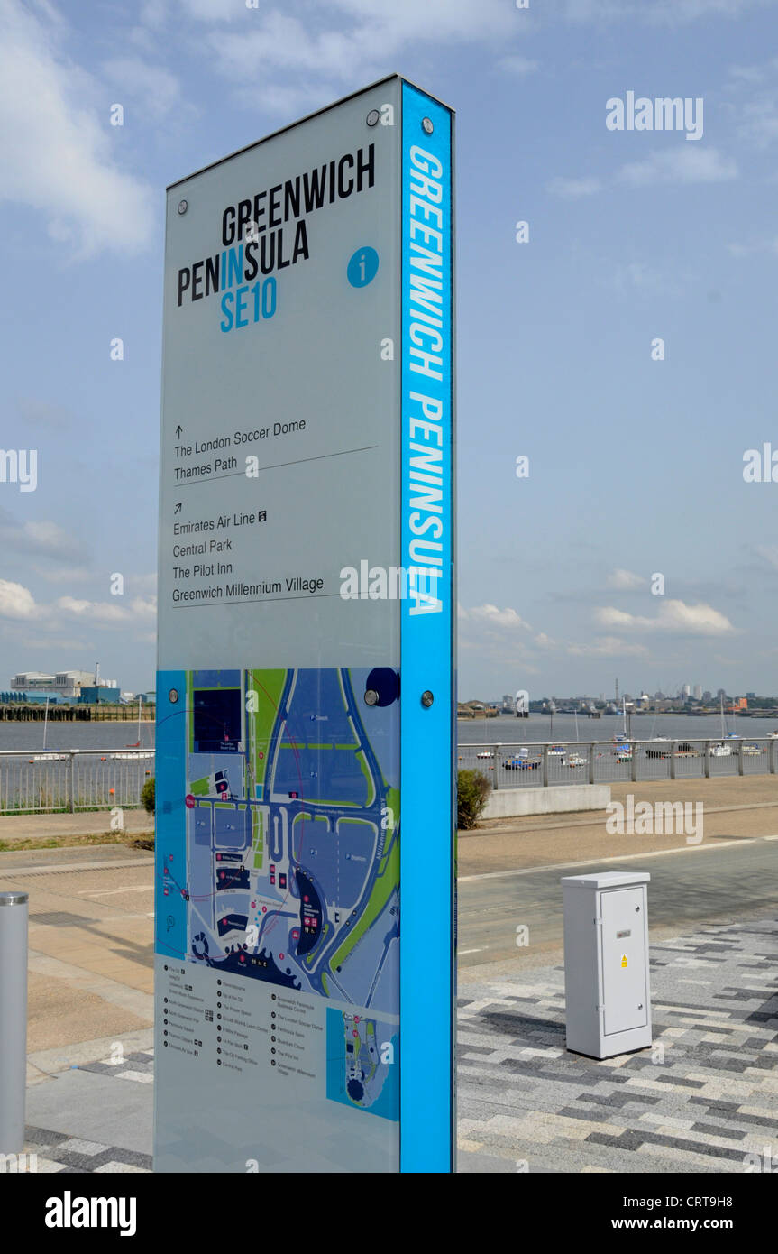 Modern information panel & signpost with detailed map located beside River Thames path at Greenwich Peninsula London England UK Stock Photohttps://www.alamy.com/image-license-details/?v=1https://www.alamy.com/stock-photo-modern-information-panel-signpost-with-detailed-map-located-beside-49092212.html
RMCRT9H8–Modern information panel & signpost with detailed map located beside River Thames path at Greenwich Peninsula London England UK
 England, London, City of London, Street Map of The Tower of London and River Thames Area Stock Photohttps://www.alamy.com/image-license-details/?v=1https://www.alamy.com/stock-image-england-london-city-of-london-street-map-of-the-tower-of-london-and-166998316.html
RMKKKC1G–England, London, City of London, Street Map of The Tower of London and River Thames Area
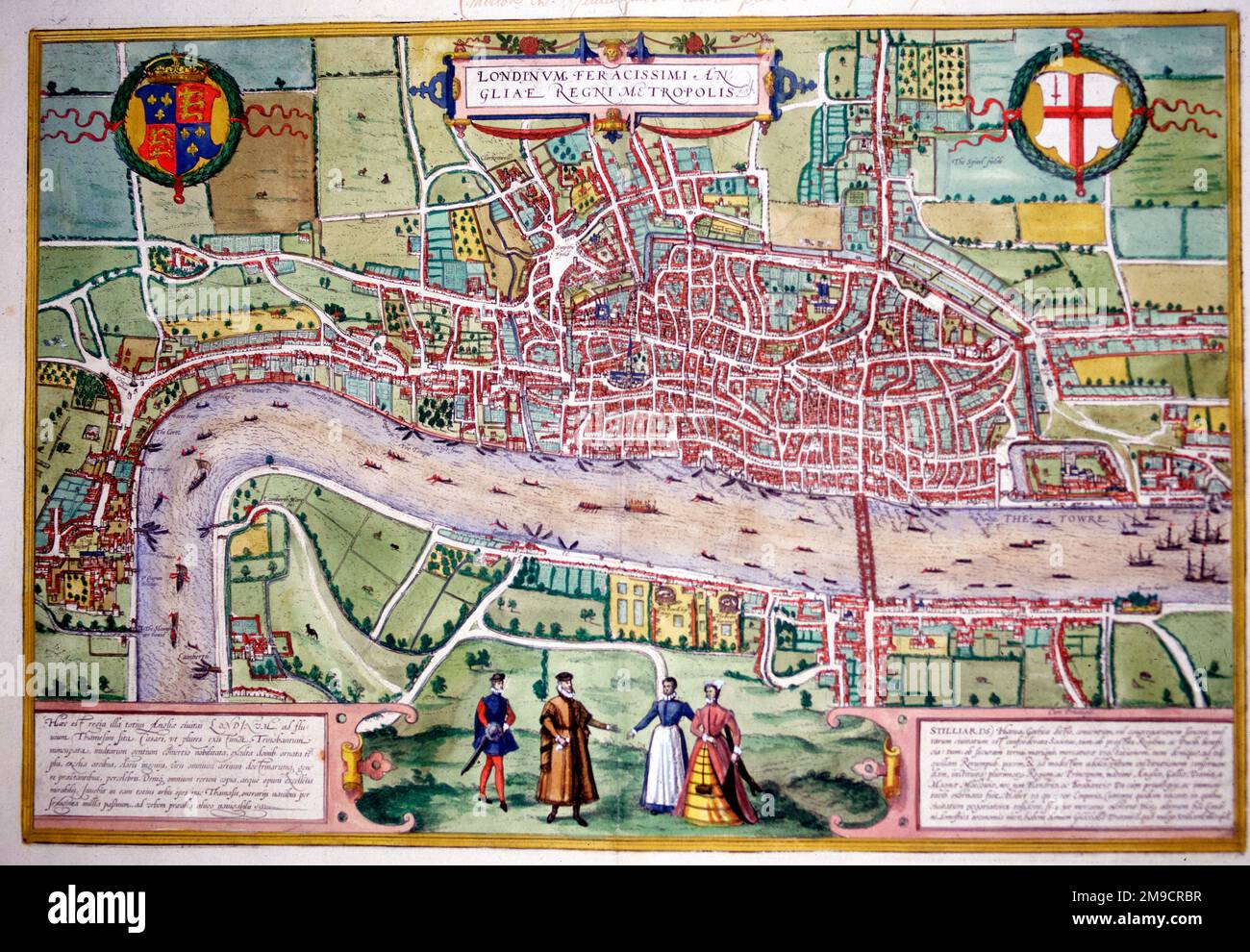 16th century Map of London and the River Thames, England Stock Photohttps://www.alamy.com/image-license-details/?v=1https://www.alamy.com/16th-century-map-of-london-and-the-river-thames-england-image504914363.html
RM2M9CRBR–16th century Map of London and the River Thames, England
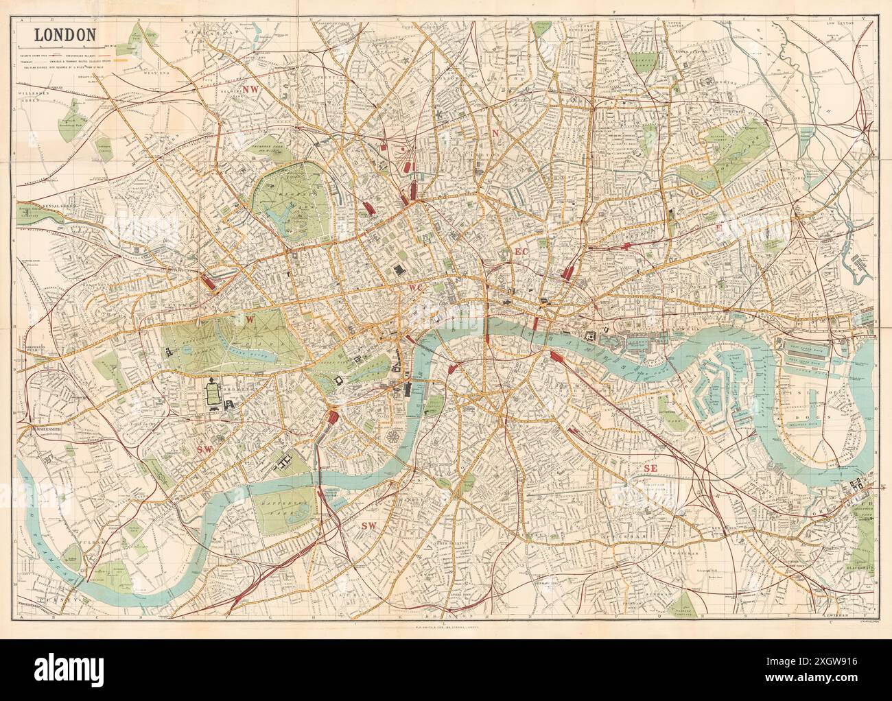 Map of London published by W.H. Smith & Son's showing central London circa 1885. Stock Photohttps://www.alamy.com/image-license-details/?v=1https://www.alamy.com/map-of-london-published-by-wh-smith-sons-showing-central-london-circa-1885-image612753266.html
RM2XGW916–Map of London published by W.H. Smith & Son's showing central London circa 1885.
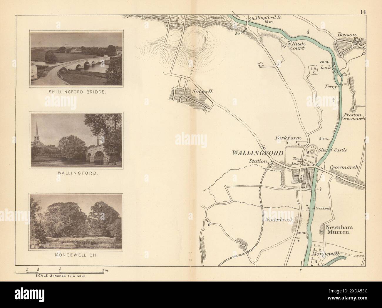 RIVER THAMES - Sotwell - Benson - Wallingford. Mongewell Church. TAUNT 1887 map Stock Photohttps://www.alamy.com/image-license-details/?v=1https://www.alamy.com/river-thames-sotwell-benson-wallingford-mongewell-church-taunt-1887-map-image610576944.html
RF2XDA53C–RIVER THAMES - Sotwell - Benson - Wallingford. Mongewell Church. TAUNT 1887 map
 View of London - The Tower of London, c1554. By Anton van den Wyngaerde (1525-1571). The Tower of London, officially Her Majesty's Royal Palace and Fortress of the Tower of London, was founded towards the end of 1066 as part of the Norman Conquest of England. Stock Photohttps://www.alamy.com/image-license-details/?v=1https://www.alamy.com/view-of-london-the-tower-of-london-c1554-by-anton-van-den-wyngaerde-1525-1571-the-tower-of-london-officially-her-majestys-royal-palace-and-fortress-of-the-tower-of-london-was-founded-towards-the-end-of-1066-as-part-of-the-norman-conquest-of-england-image261851484.html
RMW60A6M–View of London - The Tower of London, c1554. By Anton van den Wyngaerde (1525-1571). The Tower of London, officially Her Majesty's Royal Palace and Fortress of the Tower of London, was founded towards the end of 1066 as part of the Norman Conquest of England.
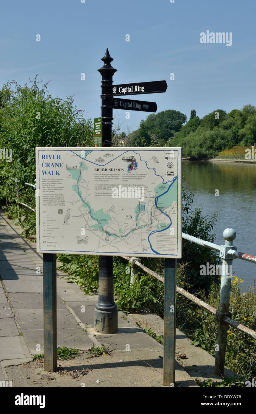 River Crane Walk sign next to the River Thames, Twickenham, London, UK. Stock Photohttps://www.alamy.com/image-license-details/?v=1https://www.alamy.com/river-crane-walk-sign-next-to-the-river-thames-twickenham-london-uk-image60234138.html
RMDDYW76–River Crane Walk sign next to the River Thames, Twickenham, London, UK.
 Rhine, Meuse And Scheldt Delta, Netherlands, True Colour Satellite Image. True colour satellite image of the Rhine-Meuse-Scheldt Stock Photohttps://www.alamy.com/image-license-details/?v=1https://www.alamy.com/stock-photo-rhine-meuse-and-scheldt-delta-netherlands-true-colour-satellite-image-71606849.html
RME4DY7D–Rhine, Meuse And Scheldt Delta, Netherlands, True Colour Satellite Image. True colour satellite image of the Rhine-Meuse-Scheldt
 Durdle Door is a natural limestone arch on the Jurassic Coast near Lulworth in Dorset. The 120-metre (390 ft) isthmus that joins the limestone to the chalk is made of a 50-metre (160 ft) band of Portland limestone. In 1811 the first Ordnance Survey map of the area named it as 'Dirdale Door'. Durdle is derived from the Old English thirl, meaning to pierce, bore or drill, which in turn derives from thyrel, meaning hole. The Door part of the name probably maintains its modern meaning, referring to the arched shape of the rock; in the late 19th century there is reference to it being called the 'Ba Stock Photohttps://www.alamy.com/image-license-details/?v=1https://www.alamy.com/durdle-door-is-a-natural-limestone-arch-on-the-jurassic-coast-near-lulworth-in-dorset-the-120-metre-390-ft-isthmus-that-joins-the-limestone-to-the-chalk-is-made-of-a-50-metre-160-ft-band-of-portland-limestone-in-1811-the-first-ordnance-survey-map-of-the-area-named-it-as-dirdale-door-durdle-is-derived-from-the-old-english-thirl-meaning-to-pierce-bore-or-drill-which-in-turn-derives-from-thyrel-meaning-hole-the-door-part-of-the-name-probably-maintains-its-modern-meaning-referring-to-the-arched-shape-of-the-rock-in-the-late-19th-century-there-is-reference-to-it-being-called-the-ba-image513282488.html
RM2MR211C–Durdle Door is a natural limestone arch on the Jurassic Coast near Lulworth in Dorset. The 120-metre (390 ft) isthmus that joins the limestone to the chalk is made of a 50-metre (160 ft) band of Portland limestone. In 1811 the first Ordnance Survey map of the area named it as 'Dirdale Door'. Durdle is derived from the Old English thirl, meaning to pierce, bore or drill, which in turn derives from thyrel, meaning hole. The Door part of the name probably maintains its modern meaning, referring to the arched shape of the rock; in the late 19th century there is reference to it being called the 'Ba
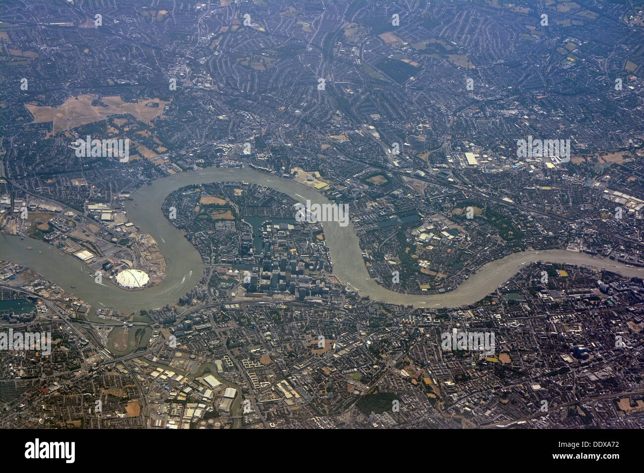 London Thames river, Aerial view Stock Photohttps://www.alamy.com/image-license-details/?v=1https://www.alamy.com/london-thames-river-aerial-view-image60200422.html
RMDDXA72–London Thames river, Aerial view
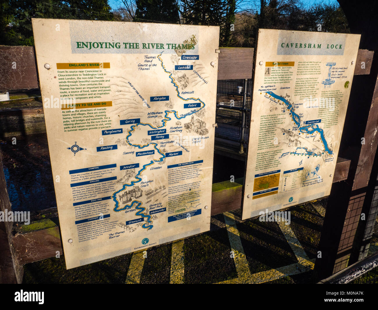 Caversham Lock, River Thames, Caversham, Reading, Berkshire, England. UK, GB. Stock Photohttps://www.alamy.com/image-license-details/?v=1https://www.alamy.com/stock-photo-caversham-lock-river-thames-caversham-reading-berkshire-england-uk-172572727.html
RMM0NA7K–Caversham Lock, River Thames, Caversham, Reading, Berkshire, England. UK, GB.
 London, England, UK. 'You Are Here' tourist map across the Thames from the Houses of Parliament Stock Photohttps://www.alamy.com/image-license-details/?v=1https://www.alamy.com/stock-photo-london-england-uk-you-are-here-tourist-map-across-the-thames-from-116200401.html
RMGN1AP9–London, England, UK. 'You Are Here' tourist map across the Thames from the Houses of Parliament
 Map of the mouth of the Thames with the Journey to Chatham, 1667, True Depiction, of what was carried out by part of the National War Fleet, on the River Chattam or Rochester, the 19th, 20th, 21st, 22 and 23 June, 1667 (title on object), Map of the Thames estuary showing the Journey to Chatham by the ships of the Dutch fleet under Admiral De Ruyter, 20-23 June 1667. On the left the battle around Sheerness, above the Dutch ships on the River Medway. Bottom right a lion on a pedestal with the legend A-V. A text sheet accompanies the plate., print, print maker: Michiel Comans (II), (mentioned on Stock Photohttps://www.alamy.com/image-license-details/?v=1https://www.alamy.com/map-of-the-mouth-of-the-thames-with-the-journey-to-chatham-1667-true-depiction-of-what-was-carried-out-by-part-of-the-national-war-fleet-on-the-river-chattam-or-rochester-the-19th-20th-21st-22-and-23-june-1667-title-on-object-map-of-the-thames-estuary-showing-the-journey-to-chatham-by-the-ships-of-the-dutch-fleet-under-admiral-de-ruyter-20-23-june-1667-on-the-left-the-battle-around-sheerness-above-the-dutch-ships-on-the-river-medway-bottom-right-a-lion-on-a-pedestal-with-the-legend-a-v-a-text-sheet-accompanies-the-plate-print-print-maker-michiel-comans-ii-mentioned-on-image606628366.html
RM2X6X8JP–Map of the mouth of the Thames with the Journey to Chatham, 1667, True Depiction, of what was carried out by part of the National War Fleet, on the River Chattam or Rochester, the 19th, 20th, 21st, 22 and 23 June, 1667 (title on object), Map of the Thames estuary showing the Journey to Chatham by the ships of the Dutch fleet under Admiral De Ruyter, 20-23 June 1667. On the left the battle around Sheerness, above the Dutch ships on the River Medway. Bottom right a lion on a pedestal with the legend A-V. A text sheet accompanies the plate., print, print maker: Michiel Comans (II), (mentioned on
 London city map 3D Rendering. Aerial satellite view. Stock Photohttps://www.alamy.com/image-license-details/?v=1https://www.alamy.com/london-city-map-3d-rendering-aerial-satellite-view-image344724439.html
RF2B0RFF3–London city map 3D Rendering. Aerial satellite view.
 Survey of London, 16th or 17th century (1886). Artist: Unknown Stock Photohttps://www.alamy.com/image-license-details/?v=1https://www.alamy.com/survey-of-london-16th-or-17th-century-1886-artist-unknown-image262764068.html
RMW7DX70–Survey of London, 16th or 17th century (1886). Artist: Unknown
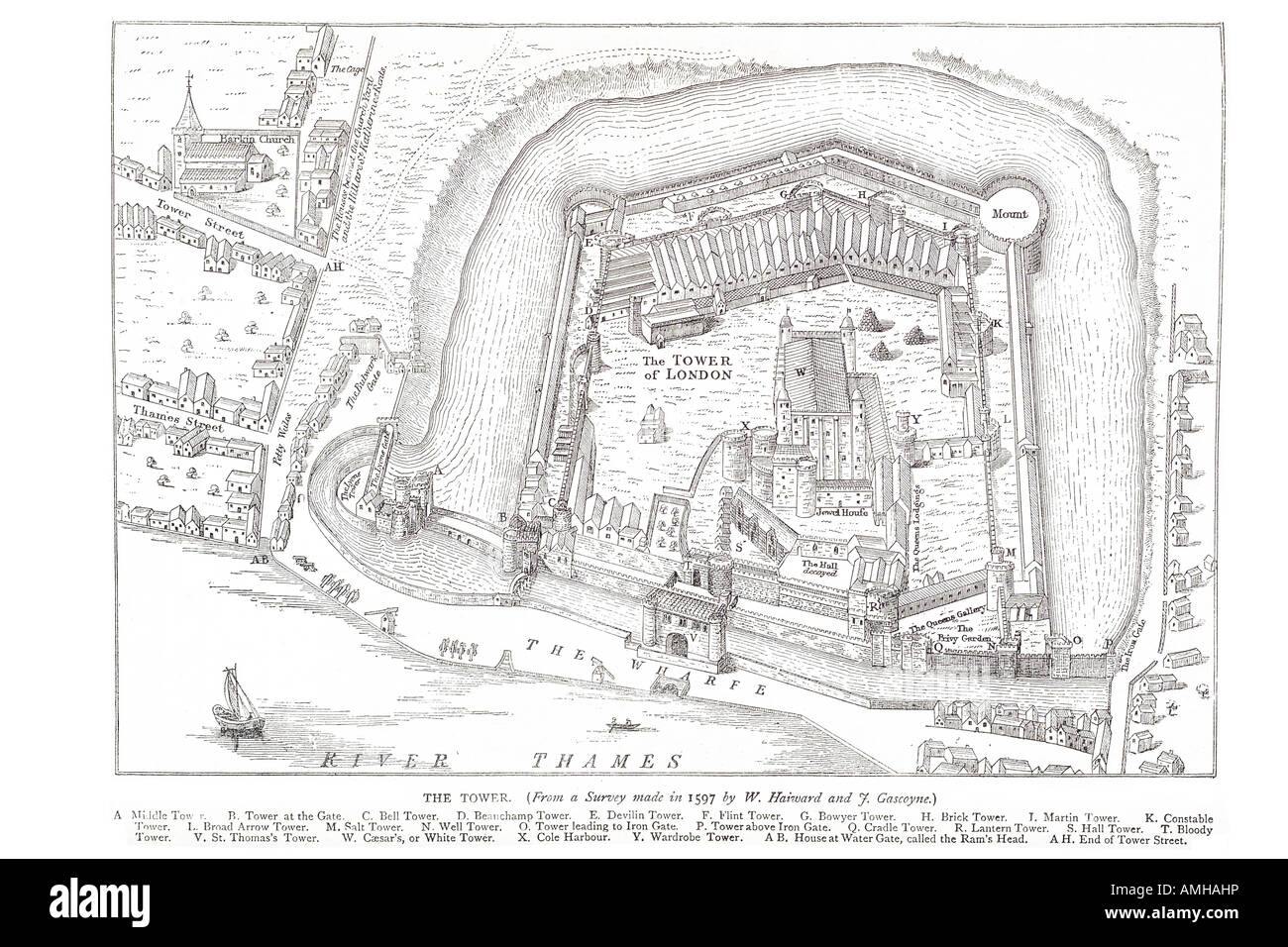 1597 tower arial plan view river thames London Greater capital England English Britain British UK United Kingdom GB Great exteri Stock Photohttps://www.alamy.com/image-license-details/?v=1https://www.alamy.com/stock-photo-1597-tower-arial-plan-view-river-thames-london-greater-capital-england-15266481.html
RMAMHAHP–1597 tower arial plan view river thames London Greater capital England English Britain British UK United Kingdom GB Great exteri
 The tower of London at the time of King Henry VIII (1491 – 1547) with Donjon marked A. Known officially as Her Majesty's Royal Palace and Fortress of the Tower of London in modern times, the historic castle stands on the north bank of the River Thames in central London. It holds the English Crown Jewells and has been used as a prison. The outer wall is mentioned in the The Anglo-Saxon Chronicle stating that in 1097 King William II ordered a wall to be built around the Tower of London; Stock Photohttps://www.alamy.com/image-license-details/?v=1https://www.alamy.com/the-tower-of-london-at-the-time-of-king-henry-viii-1491-1547-with-donjon-marked-a-known-officially-as-her-majestys-royal-palace-and-fortress-of-the-tower-of-london-in-modern-times-the-historic-castle-stands-on-the-north-bank-of-the-river-thames-in-central-london-it-holds-the-english-crown-jewells-and-has-been-used-as-a-prison-the-outer-wall-is-mentioned-in-the-the-anglo-saxon-chronicle-stating-that-in-1097-king-william-ii-ordered-a-wall-to-be-built-around-the-tower-of-london-image453814281.html
RM2HA90MW–The tower of London at the time of King Henry VIII (1491 – 1547) with Donjon marked A. Known officially as Her Majesty's Royal Palace and Fortress of the Tower of London in modern times, the historic castle stands on the north bank of the River Thames in central London. It holds the English Crown Jewells and has been used as a prison. The outer wall is mentioned in the The Anglo-Saxon Chronicle stating that in 1097 King William II ordered a wall to be built around the Tower of London;
 Map of the River Thames from Tilbury to Westminster, passing through Kent and Essex, 1740. Artist: Anon Stock Photohttps://www.alamy.com/image-license-details/?v=1https://www.alamy.com/map-of-the-river-thames-from-tilbury-to-westminster-passing-through-image60102675.html
RMDDNWG3–Map of the River Thames from Tilbury to Westminster, passing through Kent and Essex, 1740. Artist: Anon
 Vintage Detailed London City Map Printable Download Travel Poster Stock Photohttps://www.alamy.com/image-license-details/?v=1https://www.alamy.com/vintage-detailed-london-city-map-printable-download-travel-poster-image628157008.html
RF2YDY0JT–Vintage Detailed London City Map Printable Download Travel Poster
 Satellite view of the London boroughs, map and streets of Richmond upon Thames borough. England Stock Vectorhttps://www.alamy.com/image-license-details/?v=1https://www.alamy.com/satellite-view-of-the-london-boroughs-map-and-streets-of-richmond-upon-thames-borough-england-image330101368.html
RF2A51BJG–Satellite view of the London boroughs, map and streets of Richmond upon Thames borough. England
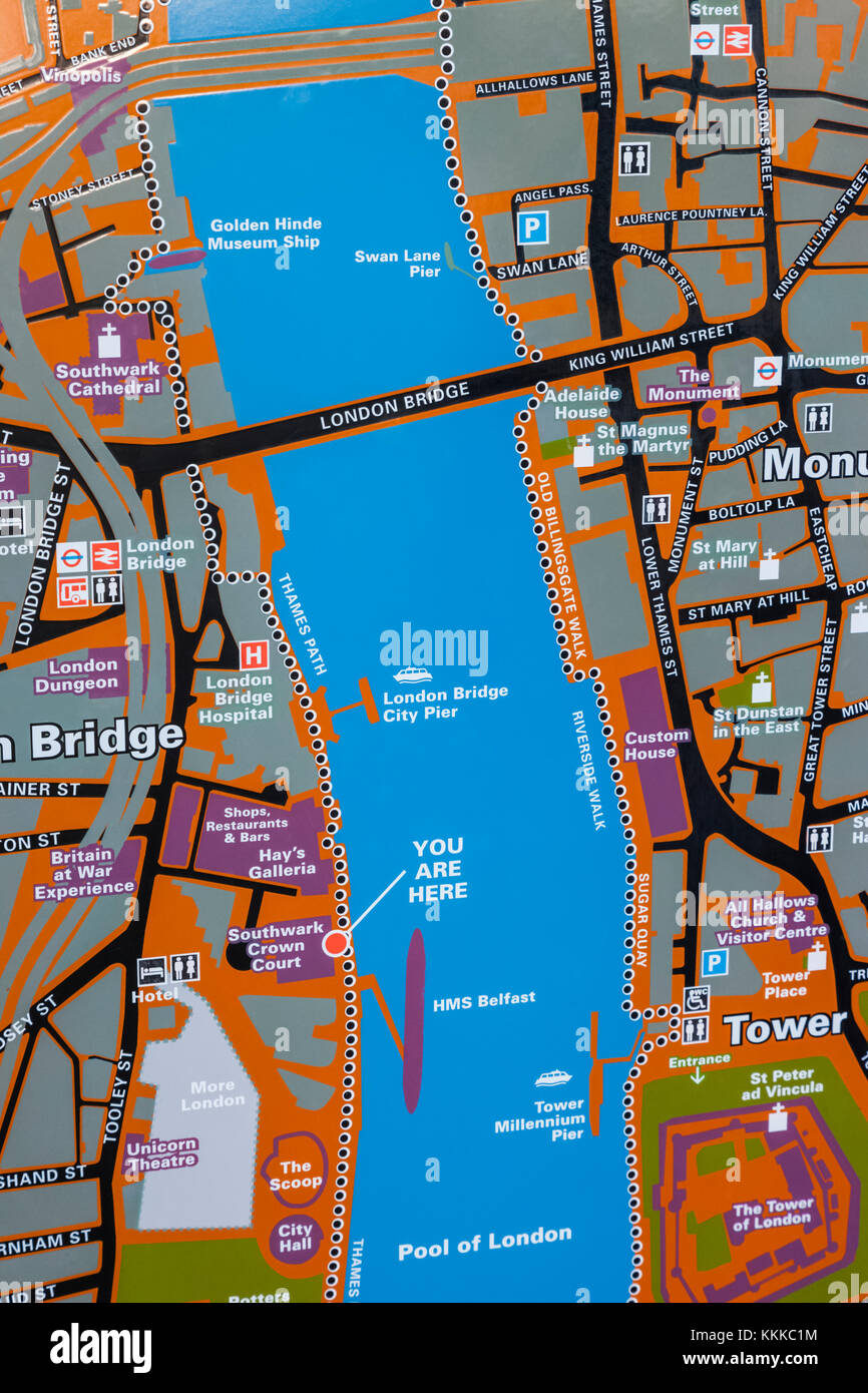 England, London, City of London, Street Map of The Tower of London and River Thames Area Stock Photohttps://www.alamy.com/image-license-details/?v=1https://www.alamy.com/stock-image-england-london-city-of-london-street-map-of-the-tower-of-london-and-166998320.html
RMKKKC1M–England, London, City of London, Street Map of The Tower of London and River Thames Area