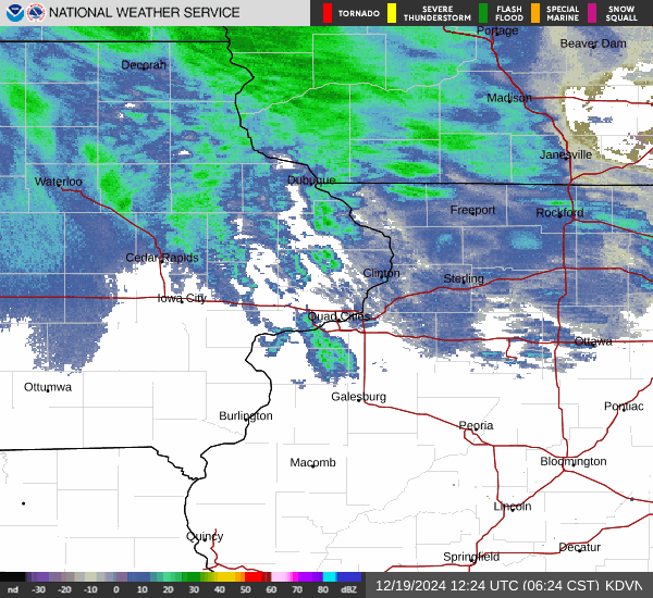
Multiple corridors of severe thunderstorms are expected across the Upper Midwest today and tonight, with a severe weather outbreak including strong tornado potential possible. The most dangerous period is likely during the late afternoon and evening when strong tornado potential should be maximized. Large to very large hail and strong, damaging winds are likely as well. Read More >
| Latest Briefing | Weather Story | Forecast Discussion | AHPS Page |
| ~ ~ ~ All Sites ~ ~ ~ |
| Maquoketa & Wapsipinicon |
| ~ ~ ~ Cedar ~ ~ ~ |
| English & Iowa |
| Skunk, Des Moines, & Fox |
| ~ ~ ~ Mississippi ~ ~ ~ |
| Pecatonica, Rock, Green, & La Moine |
| ~ ~ ~ More Information ~ ~ ~ |
| Cedar River | Green River | Mississippi River | Pecatonica River | ||||
 |
Waterloo |  |
Geneseo |  |
McGregor |  |
Martintown |
 |
Vinton |  |
Guttenburg |  |
Freeport | ||
 |
Palo | Iowa River |  |
Dubuque LD11 | |||
 |
Cedar Rapids |  |
Marshalltown |  |
Dubuque RR Bridge | Rock River | |
 |
Cedar Bluff |  |
Tama |  |
Bellevue |  |
Dixon |
 |
Conesville |  |
Marengo |  |
Fulton |  |
Como |
 |
Iowa City |  |
Camanche |  |
Joslin | ||
| Des Moines River |  |
Lone Tree |  |
Le Claire |  |
Moline | |
 |
Eddyville |  |
Columbus Jct |  |
Rock Island | ||
 |
Ottumwa |  |
Wapello |  |
Illinois City | Skunk River | |
 |
Keosauqua |  |
Oakville |  |
Muscatine |  |
Sigourney |
 |
St. Francisville |  |
New Boston |  |
Augusta | ||
| La Moine River |  |
Keithsburg | |||||
| English River |  |
Colmar |  |
Gladstone | Wapsipinicon River | ||
 |
Parnell |  |
Ripley |  |
Burlington |  |
Tripoli |
 |
Kalona |  |
Keokuk |  |
Independence | ||
| Maquoketa River |  |
Gregory Landing |  |
Anamosa Shaw Rd | |||
| Fox River |  |
Manchester Hwy20 |  |
Canton |  |
De Witt | |
 |
Wayland |  |
Maquoketa | ||||
|
|||||||||||||||||||||||||||||||||||
|
|||||||||||||||||||||
|
||||||||||||||||||||||||||||||||||||||||||
|
||||||||||||||||||||||||||||||||||||||||||
|
||||||||||||||||||||||||||||||||||||||||||||||||||||||||
| AHPS Page / Map | |||||
| River Level Summary | |||||
| River Level Forecast | |||||
| River Flood Information | |||||
Flood safety and flood insurance information:
Precipitation, temperature, and soil moisture information:
|
|
|||||||||||||||||||||||||
|
|
|||||||
| Local Watches & Warnings | Snow Cover & Water Content | Soil Moisture | Regional 24 Hour Rainfall | ||||
 |
 |
||||||
|
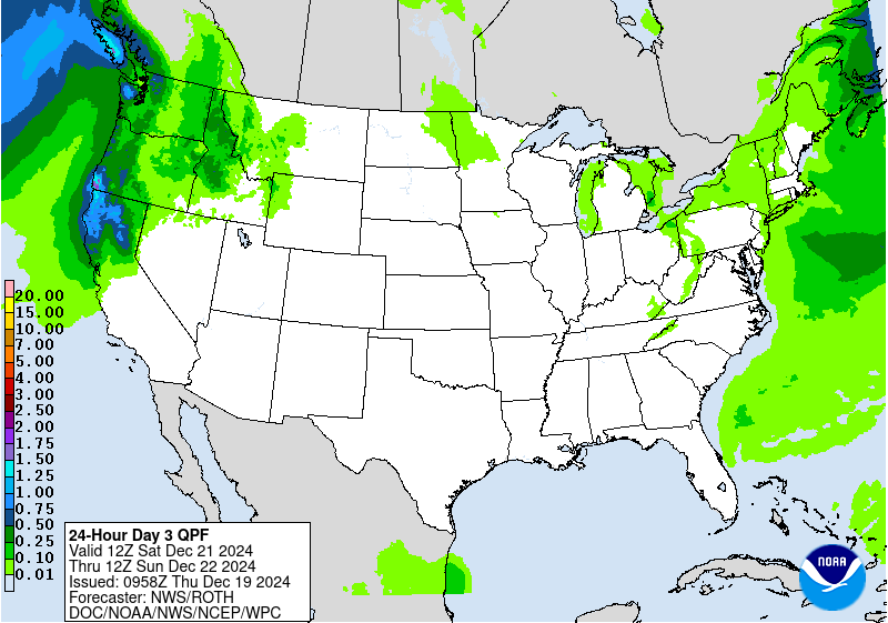
Forecast Rainfall Amounts The graphics below are for 6 hour rainfall amounts, from the most current time to 48 hours. |
|||||||
| 0 - 6 Hours | 6 - 12 Hours | 12 - 18 Hours | 18 - 24 Hours | 24 - 30 Hours | 30 - 36 Hours | 36 - 42 Hours | 42 - 48 Hours |
 |
 |
 |
 |
 |
 |
 |
 |
|
|
|||||||