

The natural habitats contained within Topsail Hill Preserve State Park are incredibly unique, both in natural wonder and level of preservation.
While much of the area has transitioned to development, over 1,600 acres of land is conserved within this park, alongside miles of protected coastline.
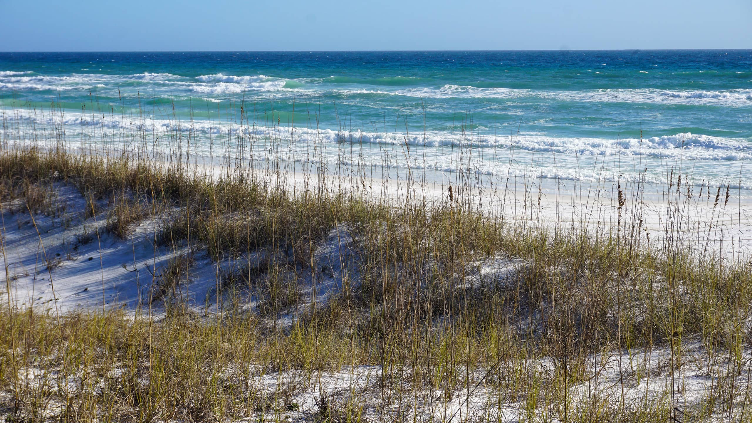
 Pristine waterfront on the Gulf of Mexico.
One of the most curious geological features found at the park are its coastal dune lakes, which exist only in a few locations around the world.
In addition to a gorgeous beach that is not accessible by car, the park offers hundreds of campsites, and miles of interconnected trails.
 Trail through coastal scrub
A tram runs from the parking area to the beach on an hourly schedule, with two visits a day to at station at Campbell Lake, where kayaks can be rented for exploration on the water.
Along with its three miles of pristine natural beach, Campbell Lake and Morris Lake are the natural highlights of this expansive preserve and the focus of its trail system.
 Bald eagle watches over a trail
Resources


Disclosure: As authors and affiliates, we receive earnings when you buy through our links. This helps us provide public information on this website.
Overview
Location: Santa Rosa Beach
Length: 10.2 miles
Trailhead: 30.370946, -86.274554
Address: 7525 W. County Highway 30A, Santa Rosa Beach
Fees: $4 single occupant vehicle, $6 two to eight people.
Restrooms: At trailhead
Land manager: Florida State Parks
Phone: 850-267-8330
Open 8 AM to sunset. Leashed dogs welcome except on beaches. Bicycles are permitted on most trails.
Directions
From the intersection of US 98 and US 331, head west on US 98 W for 5.7 before turning left onto W County Hwy 30A. In 0.3 mile, turn left into the park entrance. The trail begins at the parking lot adjacent to the ranger station.
Hike
Starting at the tram stop, head south on a paved road leading into the RV camping area.
Reaching the campground tram stop in 0.3 mile, continue straight on the paved pathway as the surrounding landscape quickly becomes more natural.
 Tram stop
Turkey oaks and gnarled pines sprout from sandy soils covered in clusters of reindeer moss, gopher apple, and false rosemary.
Reaching another intersection of roads at a half mile, turn left, then right in a tenth of a mile at a sign for the Turpentine Trail.
 Trail junction
From this point, continuing straight on the paved path will lead to a short trail with access No Name Lake, and across an extensive boardwalk to the beach area in 0.9 mile.
Turn onto the Turpentine Trail. A wide grassy pathway snakes through scrubby flatwoods habitat featuring scattered pines among a sea of saw palmetto and fetterbush lyonia.
 Scrubby flatwoods
At 1.2 miles, an intersection with the Campbell Lake View Point Trail offers a side trip to the lakeshore in a little over a quarter mile.
Continue straight for 0.2 mile before turning left onto the paved road to the lake tram stop.
The road ends in 0.4 mile, where picnic tables are situated on the shore of picturesque Campbell Lake.
 Campbell Lake picnic spot
Next to the tram stop, look for a sign for the Deer Track Trail, where a narrow pathway cuts through a scrubby forest of sand pine, twisted oaks, and magnolia trees.
Trailside bouquets of wildflowers provide showy blooms throughout the year, with purple Gulf coast lupines in the spring, and yellow woody goldenrod in the fall.
 Gulf coast lupine in bloom
Reaching the western edge of the lake, the trail winds around a cypress tree filled bayou before climbing over forested dunes and emerging at a wide sandy access road.
Turn right for a short jog down this road, then turn left where the Morris Lake Trail starts. Paper nature trail guides are available in a little box near the trailhead.
 Cypress bayou
Within a tenth of a mile, the path opens to a bench overlooking an expansive view of Morris Lake.
Continuing west, a boardwalk spans wetlands where the lake seasonally overflows, creating a winding waterway to the gulf.
 Boardwalk over the outflow of Morris Lake
Stepping onto soft white dunes, blue trail markers point the way as the trail weaves through sandy hills topped with fluffy bushels of Florida rosemary.
Warning signs indicate the presence of exposed rebar from past military operations on the dunes. This area was part of a proving ground for missile testing during World War II.
It is imperative to pay attention to the ground here, as metal protrudes from the sand in many spots close to the trail.
 Exposed rebar of “Springfield Matting” used for military trucks
Following a loop along the lake’s southern edge, the trail dips into desert-like environments, before ascending onto curiously forested scrub habitats.
Frogs chirp in nearby freshwater wetlands alongside the path while it circles around to a high spot on the dunes where the bright greenish-blue waters of the gulf appear in the distance.
 Dune scrub forest
Following the trail back across the boardwalk, reach the Morris Lake Trailhead.
Continue straight across the sandy access road onto the Deer Track Trail. In 0.3 mile, turn left onto the Old Growth Trail.
The trail loops through pine flatwoods for two miles, offering multiple views of the north shore of Morris Lake.
 Sundews on the shoreline
Returning to the Deer Track Trail, continue eastward for a half mile to the paved tram road, then turn left in 0.2 mile onto the Gopher Tortoise Trail.
This portion of the park is undergoing restoration efforts though routine prescribed fire, where the habitat can return to a more natural state.
 Area of recent prescribed fire
The Gopher Tortoise Trail concludes in one mile, where it intersects with the tram road once again.
In a tenth of a mile, the road passes the campground tram stop, before reaching the start of the hike in a half mile.
 Last section on the tram road
Trail Map

Explore More!
Learn more about Topsail Hill Preserve
 Topsail Hill Preserve State Park With one of Florida's most beautiful sweeps of beach, Topsail Hill Preserve State Park is a linear preserve with tall dunes along three miles of shoreline.
Video
Hiking Topsail Hill Preserve
Slideshow
See our photos of Topsail Hill Preserve
Nearby Adventures
 Henderson Beach State Park Dunes as white as ski slopes tumble towards the Gulf of Mexico at Henderson Beach State Park, a precious slice of natural waterfront along the crowded sweep of developed beaches in Destin.
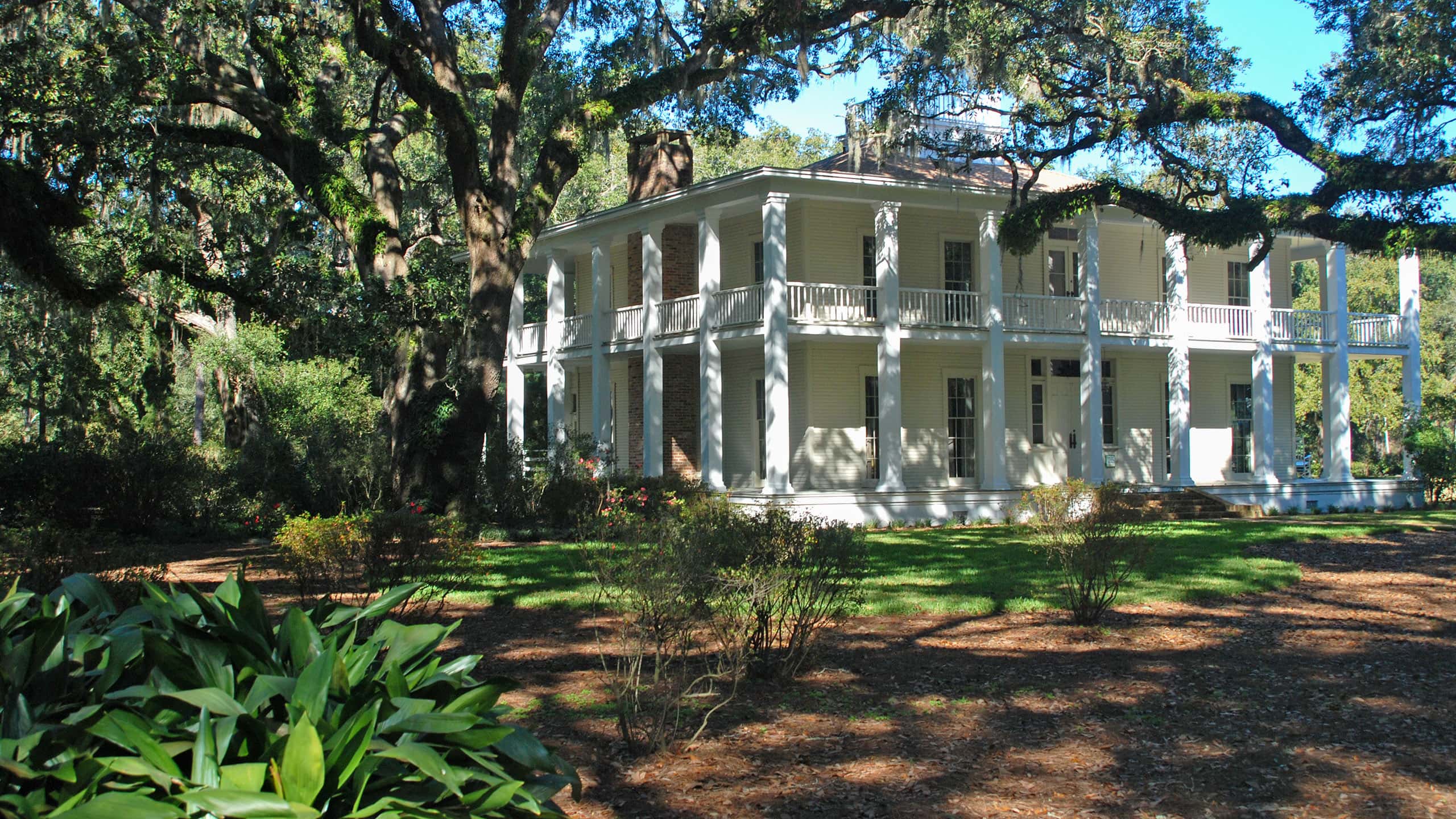 Eden Gardens State Park Edging a windswept bayou off Choctawhatchee Bay, lush cultivated gardens surround the historic Wesley House, an elegant home built by timber baron William Henry Wesley in 1897.
 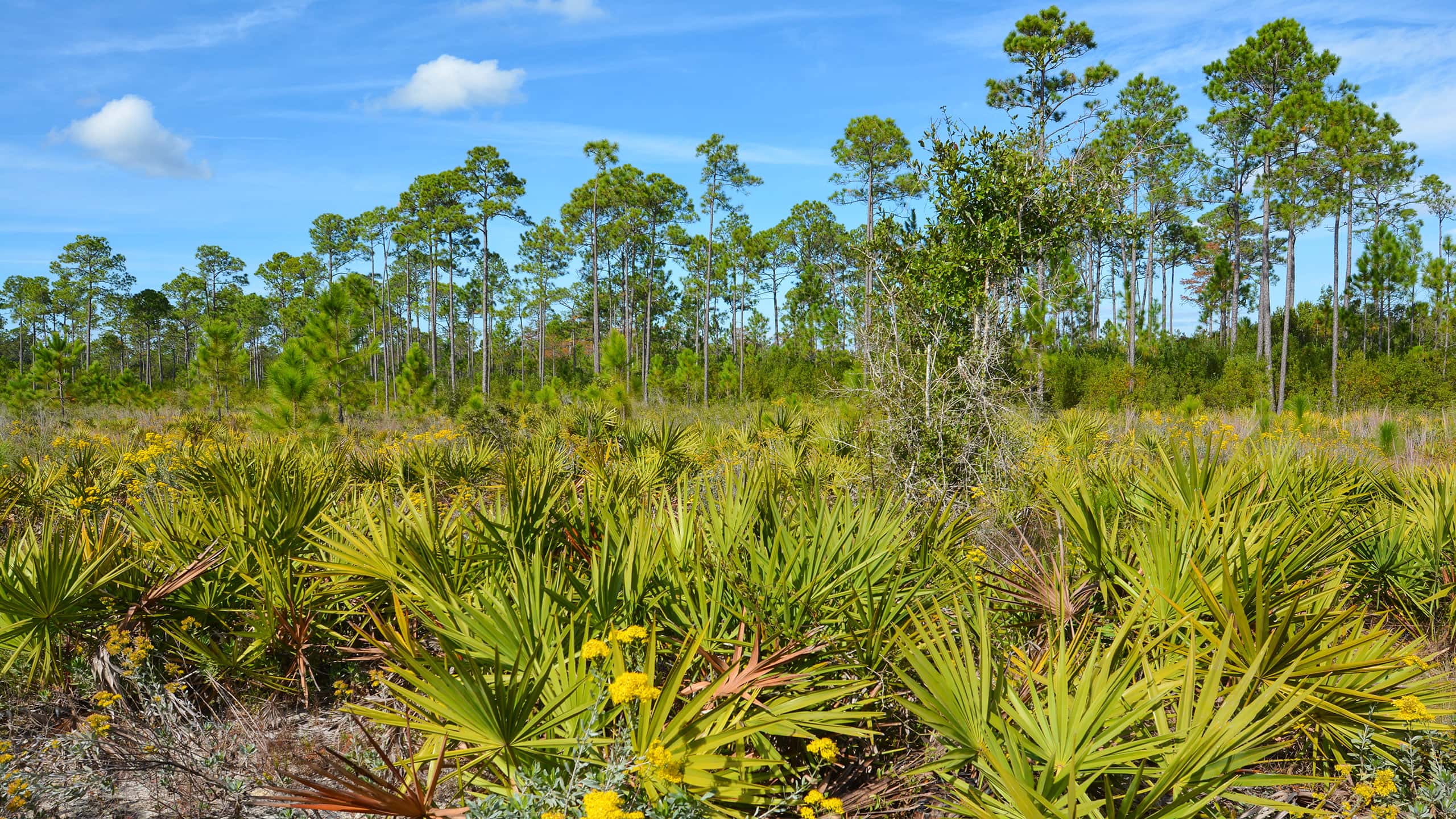 Point Washington State Forest Protecting the upland watersheds of the Coastal Dune Lakes along the South Walton coastline, Point Washington State Forest offers extensive offroad biking and hiking trails.
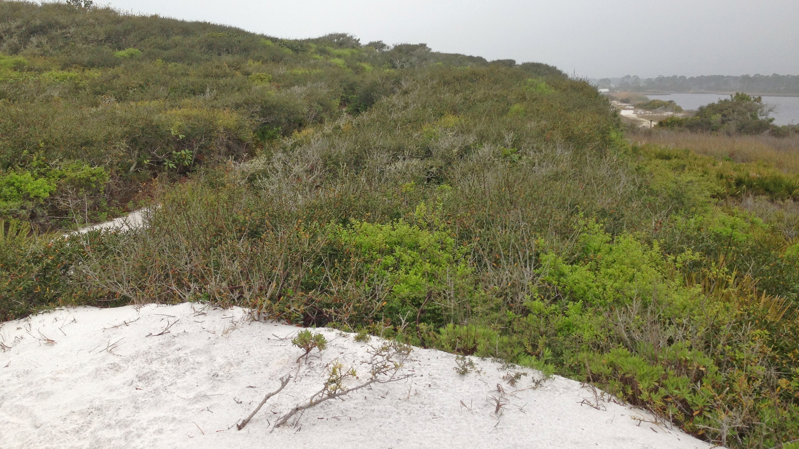 Grayton Beach State Park Cradled in a cocoon of coastal dunes, Western Lake shimmers in the sun. At Grayton Beach State Park, it's the focus of both passive and active recreation.
- Alligator Creek Preserve - March 13, 2025
- Curry Hammock Nature Trail - March 11, 2025
- Knobby Knee Trail - March 10, 2025